Twenty Acre Shaw

Wood, Forest in Kent

England

Twenty Acre Shaw

Twelfth fairway, West Kent Golf Club You need to take at least a 5-iron for your second shot at the twelfth, or you will probably not clear this nasty bunker!
This is the last gridsquare in the TQ46 hectad to be geographed, I have done about half of these.  So I shall be off to TQ45 next where there are several big fat squares awaiting.
Twelfth fairway, West Kent Golf Club Credit: Dr Neil Clifton

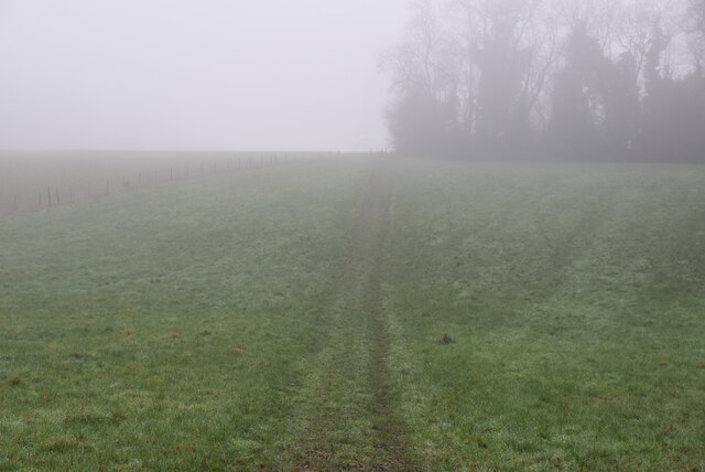
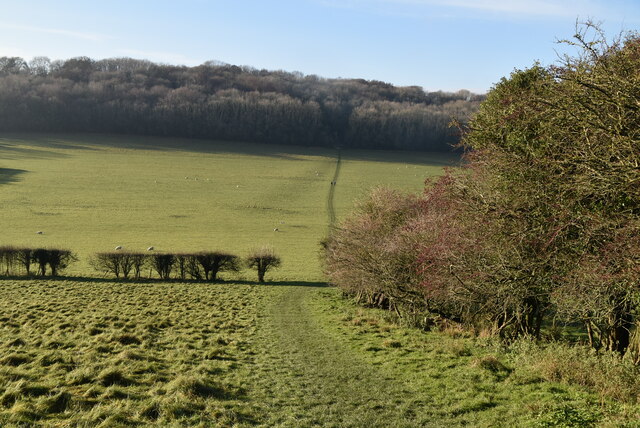
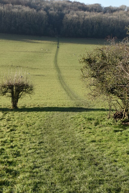
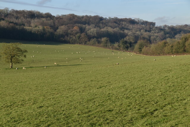
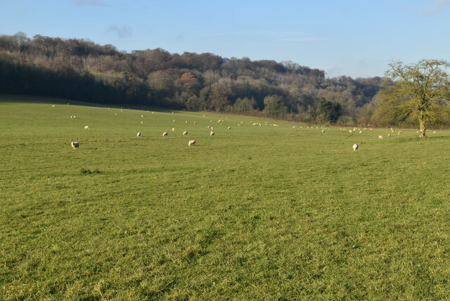
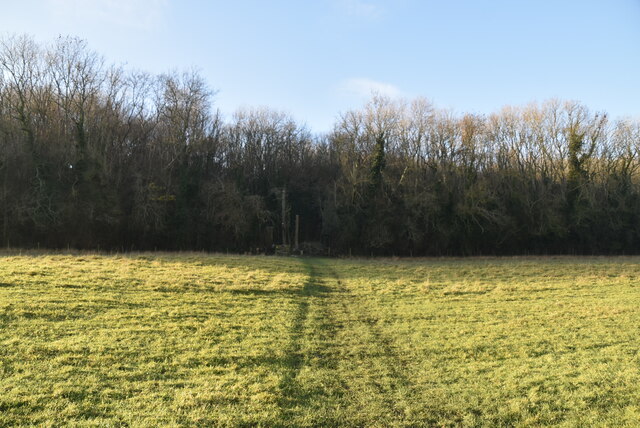
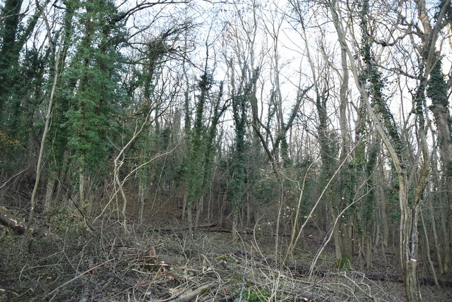
Twenty Acre Shaw is a woodland area located in the county of Kent, England. Situated in the southeastern part of the country, Twenty Acre Shaw is a prominent natural feature within the region. The woodland covers an approximate area of twenty acres, as its name suggests, and is characterized by a dense and diverse range of trees.

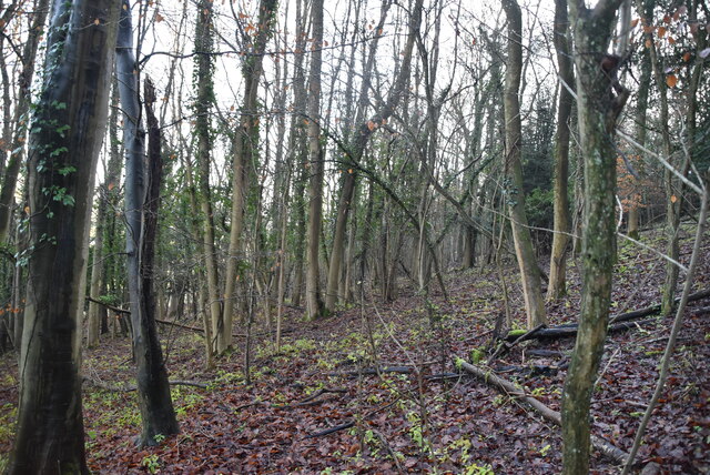
The forest is predominantly composed of native broadleaf trees, such as oak, beech, and ash, which provide a rich and vibrant habitat for a variety of wildlife. The diverse range of flora within Twenty Acre Shaw includes bluebells, wood anemones, and wild garlic, which add to its natural beauty and ecological significance.

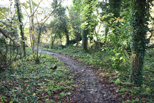
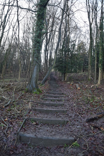
The woodland is a popular destination for nature enthusiasts, hikers, and birdwatchers, offering a tranquil and peaceful environment for outdoor activities. The forest trails wind through the trees, providing opportunities to explore the area and discover its hidden treasures.

Twenty Acre Shaw is also home to a diverse range of wildlife species, including deer, squirrels, and a variety of bird species. The forest provides a sanctuary for these creatures, offering a natural habitat for them to thrive and flourish.

The woodland is well-maintained and managed by local authorities, ensuring its preservation and conservation for future generations to enjoy. With its picturesque scenery, abundant wildlife, and peaceful atmosphere, Twenty Acre Shaw is a cherished natural asset of Kent, attracting visitors from near and far.

If you have any feedback on the listing, please let us know in the comments section below.

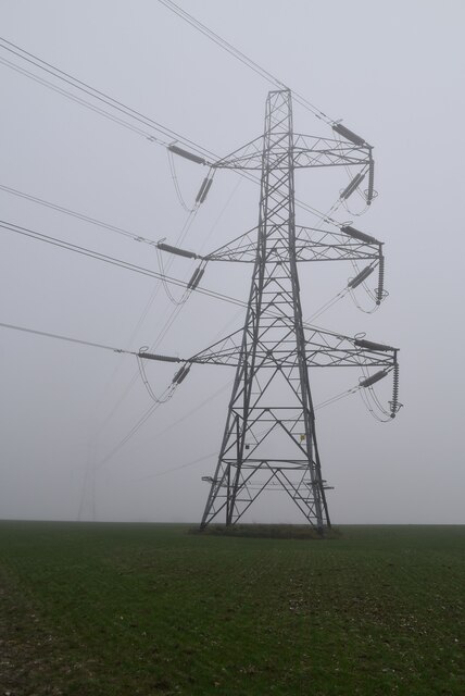
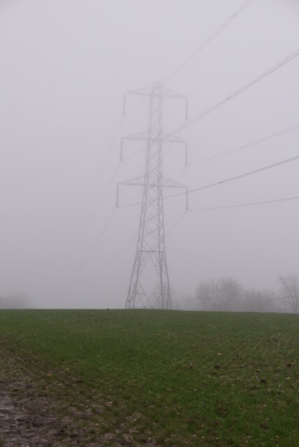
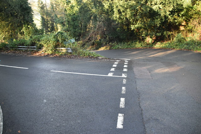
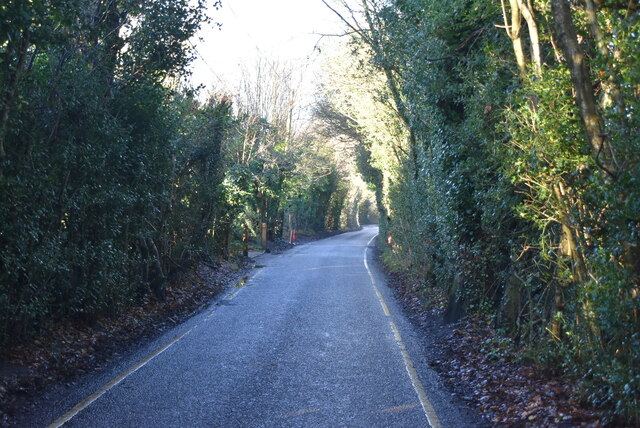
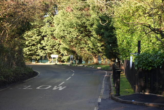
Twenty Acre Shaw Images

Images are sourced within 2km of 51.32143/0.061760042 or Grid Reference TQ4360. Thanks to Geograph Open Source API. All images are credited.

Twelfth fairway, West Kent Golf Club You need to take at least a 5-iron for your second shot at the twelfth, or you will probably not clear this nasty bunker!
This is the last gridsquare in the TQ46 hectad to be geographed, I have done about half of these.  So I shall be off to TQ45 next where there are several big fat squares awaiting.
Twelfth fairway, West Kent Golf Club
You need to take at least a 5-iron for your second shot at the twelfth, or you will probably not clear this nasty bunker! This is the last gridsquare in the TQ46 hectad to be geographed, I have done about half of these. So I shall be off to TQ45 next where there are several big fat squares awaiting.
High St, North End Lane junction
High Elms Rd
High Elms Rd
Footpath in mist
Footpath in mist
Pylon in the mist
Pylon in the mist
Pylon in the mist
Pylon in the mist
Church Hill, Downe Rd junction
Footpath off Church Hill
Footpath into Dry Valley
Clear and distinct footpath
Sheep grazing The North Downs are a ridge of chalk hills in south east England that stretch for 120 miles (190 km) from Farnham in Surrey to the White Cliffs of Dover in Kent. The North Downs lie within two Areas of Outstanding Natural Beauty (AONBs), the Surrey Hills and the Kent Downs. The North Downs Way National Trail runs along the North Downs from Farnham to Dover.

At its highest point, Botley Hill in Surrey is 882ft above sea level.

Extract from Wikipedia  <span class="nowrap"><a title="http://en.wikipedia.org/wiki/North_Downs" rel="nofollow ugc noopener" href="http://en.wikipedia.org/wiki/North_Downs">Link</a><img style="margin-left:2px;" alt="External link" title="External link - shift click to open in new window" src="https://s1.geograph.org.uk/img/external.png" width="10" height="10"/></span>
Sheep grazing
The North Downs are a ridge of chalk hills in south east England that stretch for 120 miles (190 km) from Farnham in Surrey to the White Cliffs of Dover in Kent. The North Downs lie within two Areas of Outstanding Natural Beauty (AONBs), the Surrey Hills and the Kent Downs. The North Downs Way National Trail runs along the North Downs from Farnham to Dover. At its highest point, Botley Hill in Surrey is 882ft above sea level. Extract from Wikipedia LinkExternal link
Sheep grazing
Sheep grazing
Footpath to Single Street
Twenty Acre Shaw
Twenty Acre Shaw
Footpath, Twenty Acre Shaw
Twenty Acre Shaw
Twenty Acre Shaw
Single Street
Single Street
Luxted Rd
Luxted Rd
Show me another place!

Twenty Acre Shaw is located at Grid Ref: TQ4360 (Lat: 51.32143, Lng: 0.061760042)

Unitary Authority: Bromley

Police Authority: Metropolitan

What 3 Words

///shops.spirit.jaws. Near Biggin Hill, London

Related Wikis

Single Street

Single Street is a hamlet in the London Borough of Bromley in Greater London, located between Luxted and Berry's Green, and centred around a street of...

Cudham

Cudham is a village in Greater London, England, located within the London Borough of Bromley and beyond London's urban sprawl. It is located on the Greater...

Old Jail, Biggin Hill

The Old Jail was a pub in Jail Lane, Biggin Hill, Westerham, Kent, in the London Borough of Bromley. At this time of writing, (February 2023), it is permanently...

Berry's Green

Berry's Green a small hamlet in the London Borough of Bromley in Greater London, UK, situated outside of London's contiguous built-up area. It is a fairly...

Luxted

Luxted is a hamlet in the London Borough of Bromley, located to the south of Downe. The area is rural, noted for its abundance of woods and grasslands...

Downe Bank

Downe Bank is a nature reserve owned and managed by the Kent Wildlife Trust in the North Downs, close to Downe in the London Borough of Bromley. It is...

Down House

Down House is the former home of the English naturalist Charles Darwin and his family. It was in this house and garden that Darwin worked on his theory...

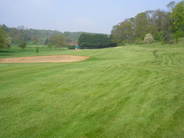
West Kent Golf Course nature reserve

West Kent Golf Course is located in Downe in the London Borough of Bromley. Three areas totalling 9.2 hectares within the golf course, owned by the golf...

Related Videos

Walking Biggin Hill, Downe & Cudham | Downe House - Charles Darwin | Norman Church | Weekend Walks

Hola Amigos, I always seem to go for a walk far from my house, this time I decided to show you some of my local stomping ground.

Biggin Hill Circular Walk | Walking in London Borough of Bromley | 7 Miles | Hiking

Hola Amigos! Being stuck indoors and not being able to travel during this lockdown, I decided to see what was on offer on my ...

Walking from Leaves Green to New Addington Live! 02/07/2019 - Mobile Stream (53)

This is just another mobile stream with my smartphone walking from Leaves Green to New Addington.

Nearby Amenities

Located within 500m of 51.32143,0.061760042
Street Lamp
Lat/Long: 51.3208149/0.0589554
Bus Stop
Hail & Ride Luxted Farm
Naptan AtcoCode: 490009456N
Naptan Bearing: N
Naptan CommonName: Luxted Farm
Naptan Verified: no
Public Transport: platform
Lat/Long: 51.32282/0.0576953
Bus Stop
Hail & Ride Single Street
Naptan AtcoCode: 490012173N
Naptan Bearing: N
Naptan CommonName: Single Street
Naptan Verified: no
Public Transport: platform
Lat/Long: 51.3190533/0.0602054
Bus Stop
Hail & Ride Single Street
Naptan AtcoCode: 490012173S
Naptan Bearing: S
Naptan CommonName: Single Street
Naptan Verified: no
Public Transport: platform
Lat/Long: 51.318287/0.0594445
Bus Stop
Hail & Ride Luxted Village
Naptan AtcoCode: 490000796Z
Naptan Bearing: S
Naptan CommonName: Luxted Village
Naptan Verified: no
Public Transport: platform
Lat/Long: 51.3220892/0.0581352
Barrier: stile
Foot: yes
Material: wood
Source: survey
Stile: stepover
Lat/Long: 51.3185533/0.0571501
Street Lamp
Lat/Long: 51.3194052/0.0603524
Street Lamp
Lat/Long: 51.3234027/0.0553525
Street Lamp
Lat/Long: 51.3179614/0.0626402
Barrier: kissing_gate
Bicycle: no
Foot: yes
Material: wood
Source: survey
Lat/Long: 51.3215718/0.0640156
Barrier: stile
Bicycle: no
Foot: yes
Material: wood
Stile: stepover
Lat/Long: 51.3192114/0.058385
Street Lamp
Lat/Long: 51.3233738/0.0569892
Post Box
Collection Times: Mo-Fr 16:15; Sa 11:30
Operator: Royal Mail
Operator Wikidata: Q638098
Post Box Type: lamp
Ref: BR6 106
Royal Cypher: EIIR
Royal Cypher Wikidata: Q33102113
Lat/Long: 51.3232799/0.055503
Telephone
Booth: K6
Covered: booth
Lat/Long: 51.3233084/0.0556908
Communication: pole
Lat/Long: 51.3188075/0.0575095
Power: pole
Lat/Long: 51.3185669/0.0613287
Power: pole
Lat/Long: 51.3200321/0.0666636
Power: pole
Lat/Long: 51.3204629/0.068281
Coal tax post
Historic: boundary_stone
Inscription: 24 & 25 VICT CAP 42
Material: iron
Note: Coal tax boundary marker 188
Lat/Long: 51.3209619/0.0585547
Street Lamp
Lat/Long: 51.3177792/0.058587
Single Street
Place: hamlet
Lat/Long: 51.3193536/0.0598602
The data included in this document is from www.openstreetmap.org. The data is made available under ODbL.

Have you been to Twenty Acre Shaw?

Leave your review of Twenty Acre Shaw below (or comments, questions and feedback).