Fitches Plantation
Wood, Forest in Essex Epping Forest
England
Fitches Plantation
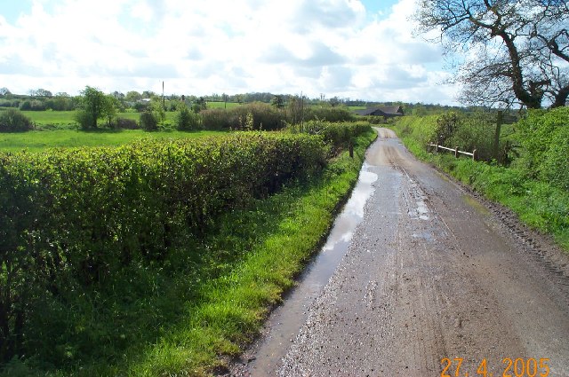
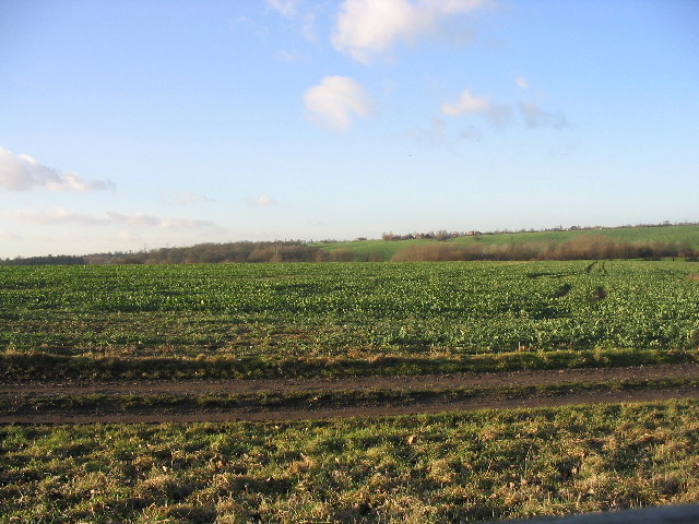
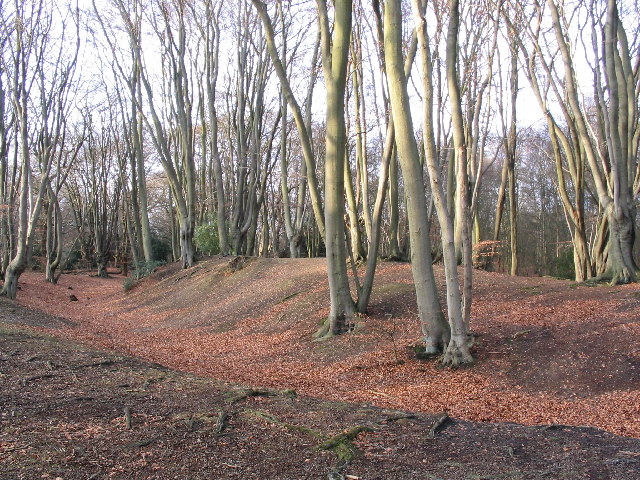
Fitches Plantation is a 200-acre woodland located in the county of Essex, England. Situated within the larger area of Wood, Forest, it is considered a remarkable natural asset in the region. The plantation is characterized by its diverse range of flora and fauna, attracting nature enthusiasts, researchers, and visitors alike.
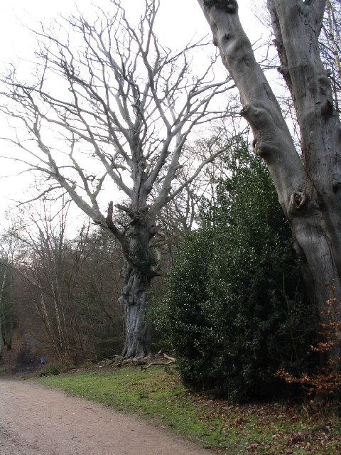
The woodland is predominantly made up of native species such as oak, beech, and birch trees, which create a dense and lush canopy. This provides a suitable habitat for numerous animal species, including deer, badgers, foxes, and a variety of bird species, making it an ideal spot for birdwatching and wildlife observation.
Fitches Plantation boasts a network of well-maintained walking trails that wind through its picturesque landscape, allowing visitors to explore its beauty at their own pace. These paths are suitable for all levels of fitness and offer breathtaking views of the surrounding countryside.
The woodland is also home to a small stream that meanders through the plantation, providing a serene and tranquil atmosphere. This water source not only adds to the aesthetic appeal but also supports the diverse range of plants and animals that inhabit the area.
Fitches Plantation is open to the public year-round, with guided tours available for those interested in learning more about the ecological importance of the woodland. The plantation also hosts educational programs and workshops for school groups and nature enthusiasts, aiming to raise awareness about the importance of conservation and the preservation of natural habitats.
In conclusion, Fitches Plantation is a thriving woodland in Essex, offering a haven for wildlife and a peaceful retreat for visitors to enjoy the beauty of nature.
If you have any feedback on the listing, please let us know in the comments section below.
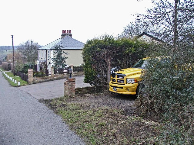
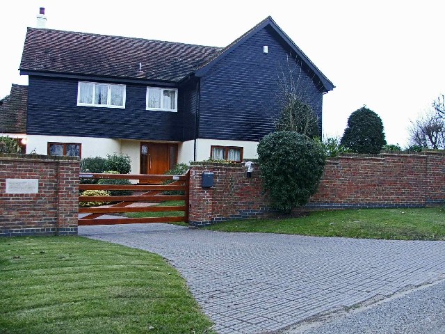
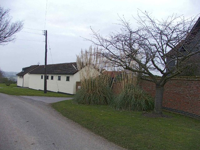
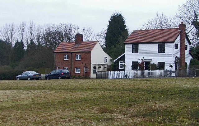
Fitches Plantation Images
Images are sourced within 2km of 51.698796/0.074904009 or Grid Reference TL4302. Thanks to Geograph Open Source API. All images are credited.
Fitches Plantation is located at Grid Ref: TL4302 (Lat: 51.698796, Lng: 0.074904009)
Administrative County: Essex
District: Epping Forest
Police Authority: Essex
What 3 Words
///glitz.hosts.stews. Near Epping, Essex
Nearby Locations
Related Wikis
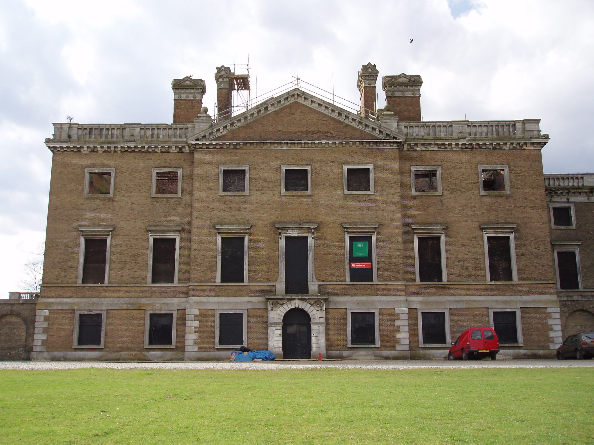
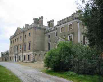
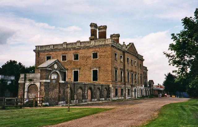
Copped Hall
Copped Hall, also known as Copt Hall or Copthall, is a mid-18th-century English country house close to Waltham Abbey, Essex, which has been undergoing...

Epping St John's School
Epping St John's School, formerly known as St John's Church of England Voluntary Controlled School, is a school in Epping, Essex.Epping St. John's was...

Ambresbury Banks
Ambresbury Banks is the name given to the remains of an Iron Age hill fort in Epping Forest, Essex, England. == Description == The fort encircles an area...

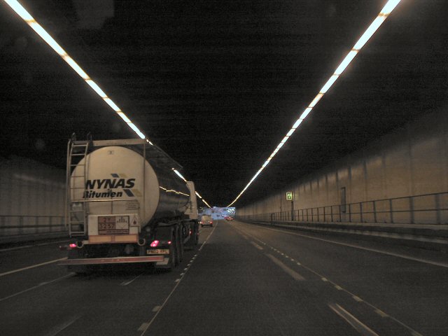
Bell Common
Bell Common is a settlement in Essex, England and forms the southern part of the town of Epping. == Tunnel == The Bell Common Tunnel is a covered section...

Upshire
Upshire is a village and area of Waltham Abbey in the Epping Forest District of Essex, England. The centre of the village is on Horseshoe Hill (a minor...

Epping, Essex
Epping is a market town and civil parish in the Epping Forest District of Essex, England. Part of the metropolitan and urban area of London, it is 17 miles...

Epping Rural District
Epping was, from 1894 to 1955, a rural district in the administrative county of Essex, England. == Formation and boundary changes == The district was formed...
Epping Upland
Epping Upland is a village and civil parish in the Epping Forest district of Essex, England.The village is situated on the B181 road, approximately 3 miles...
Nearby Amenities
Located within 500m of 51.698796,0.074904009Have you been to Fitches Plantation?
Leave your review of Fitches Plantation below (or comments, questions and feedback).