Little Rookery Wood
Wood, Forest in Essex Epping Forest
England
Little Rookery Wood
Little Rookery Wood is a picturesque woodland located in the county of Essex, England. Situated near the village of Rookery, the wood covers an area of approximately 50 hectares and is a popular destination for nature enthusiasts and hikers alike.
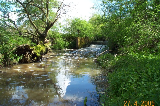
The woodland is characterized by its dense canopy of trees, predominantly consisting of oak, beech, and birch. These towering trees provide a habitat for a diverse range of flora and fauna, making it an important ecological site. Bluebells, primroses, and wood anemones carpet the forest floor during spring, creating a stunning display of colors.
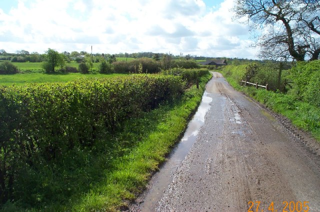
Little Rookery Wood is intersected by several footpaths, allowing visitors to explore its beauty at their leisure. The trails wind through the trees, offering glimpses of wildlife such as deer, foxes, and a variety of bird species. The tranquil atmosphere of the wood, coupled with the soothing sounds of birdsong, creates a peaceful and immersive experience for visitors.
In addition to its natural beauty, Little Rookery Wood also has historical significance. The wood was once part of a larger medieval forest, and remnants of ancient boundary banks and ditches can still be seen today. These remnants serve as a reminder of the area's rich history and provide an interesting backdrop for those interested in the cultural heritage of the region.
Overall, Little Rookery Wood is a captivating woodland that offers a sanctuary for both nature lovers and history enthusiasts. Its diverse ecosystem, scenic beauty, and historical significance make it a must-visit destination for anyone seeking a connection with nature and an appreciation for the past.
If you have any feedback on the listing, please let us know in the comments section below.
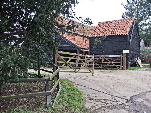
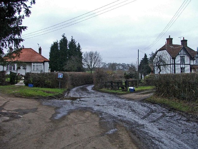
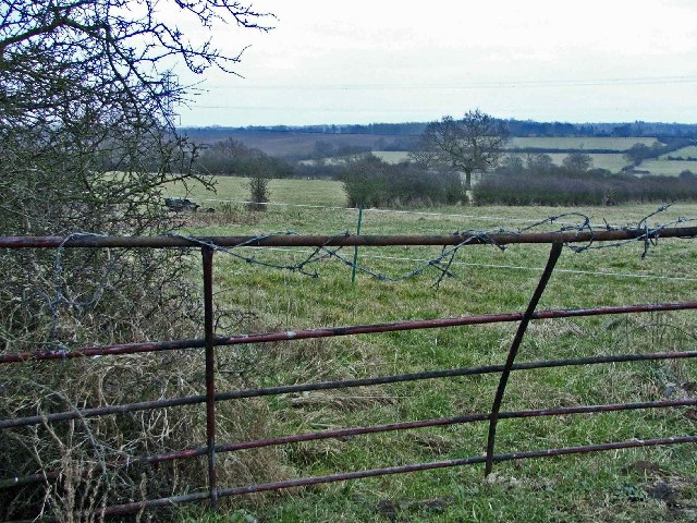
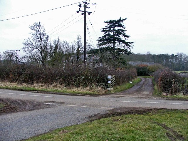
Little Rookery Wood Images
Images are sourced within 2km of 51.699996/0.069589879 or Grid Reference TL4302. Thanks to Geograph Open Source API. All images are credited.
Little Rookery Wood is located at Grid Ref: TL4302 (Lat: 51.699996, Lng: 0.069589879)
Administrative County: Essex
District: Epping Forest
Police Authority: Essex
What 3 Words
///longer.bottle.poker. Near Epping, Essex
Nearby Locations
Related Wikis
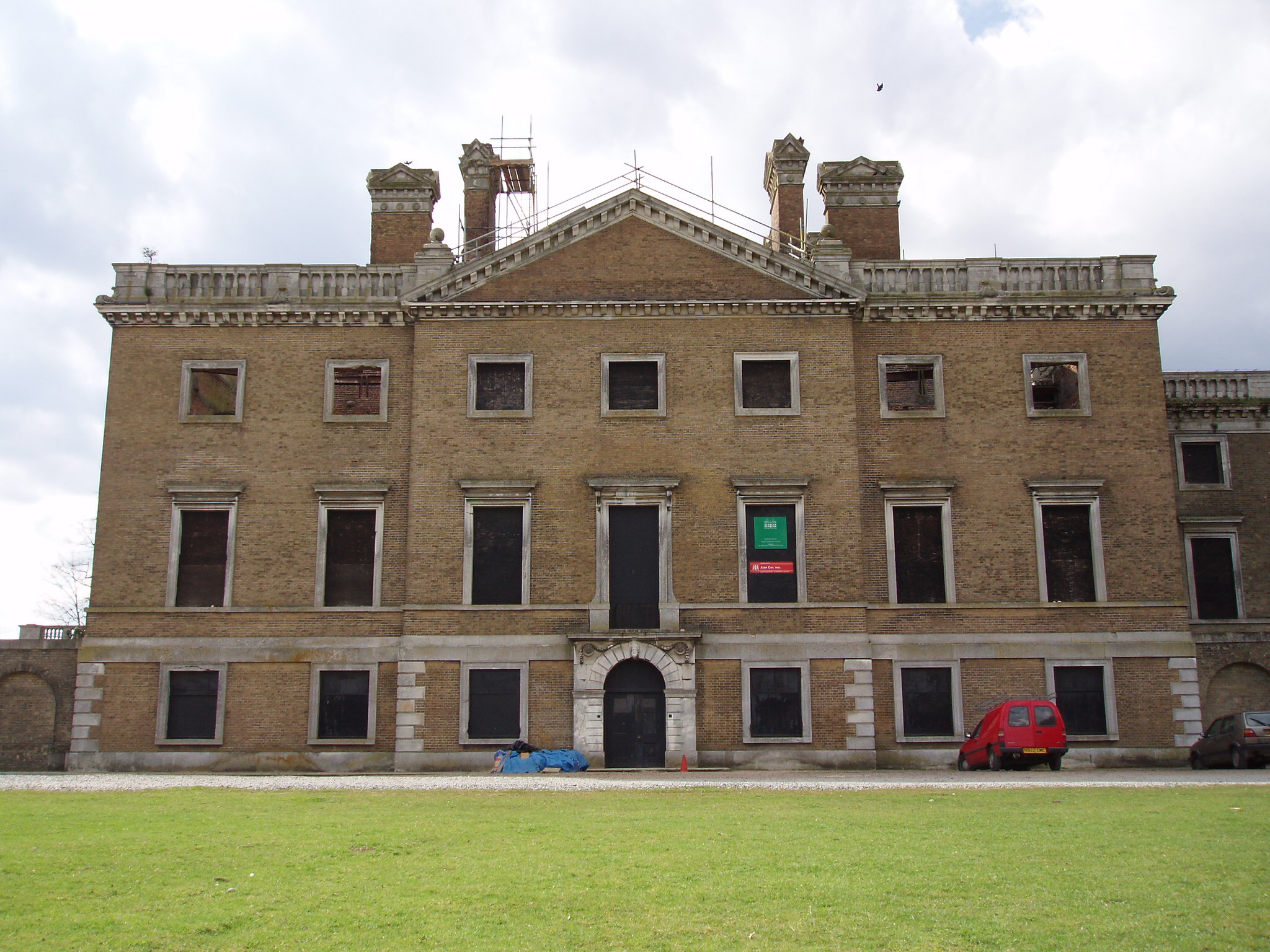
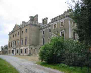
Copped Hall
Copped Hall, also known as Copt Hall or Copthall, is a mid-18th-century English country house close to Waltham Abbey, Essex, which has been undergoing...

Ambresbury Banks
Ambresbury Banks is the name given to the remains of an Iron Age hill fort in Epping Forest, Essex, England. == Description == The fort encircles an area...

Upshire
Upshire is a village and area of Waltham Abbey in the Epping Forest District of Essex, England. The centre of the village is on Horseshoe Hill (a minor...

Epping St John's School
Epping St John's School, formerly known as St John's Church of England Voluntary Controlled School, is a school in Epping, Essex.Epping St. John's was...

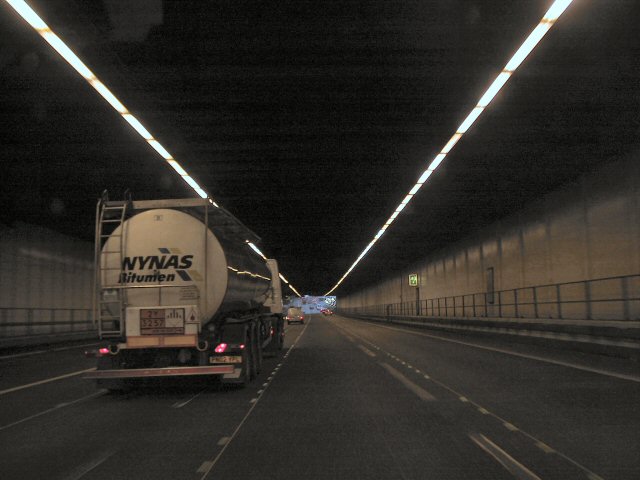
Bell Common
Bell Common is a settlement in Essex, England and forms the southern part of the town of Epping. == Tunnel == The Bell Common Tunnel is a covered section...

Epping Rural District
Epping was, from 1894 to 1955, a rural district in the administrative county of Essex, England. == Formation and boundary changes == The district was formed...

Epping, Essex
Epping is a market town and civil parish in the Epping Forest District of Essex, England. Part of the metropolitan and urban area of London, it is 17 miles...
Epping Upland
Epping Upland is a village and civil parish in the Epping Forest district of Essex, England.The village is situated on the B181 road, approximately 3 miles...
Nearby Amenities
Located within 500m of 51.699996,0.069589879Have you been to Little Rookery Wood?
Leave your review of Little Rookery Wood below (or comments, questions and feedback).