Roundsell Shaw
Wood, Forest in Hertfordshire East Hertfordshire
England
Roundsell Shaw

Roundsell Shaw is a picturesque woodland located in Hertfordshire, England. Spread over a vast area, the woodland is known for its dense forest and lush greenery, making it a popular destination for nature enthusiasts and hikers. Situated near the village of Roundsell, it offers a tranquil and serene environment away from the hustle and bustle of city life.
The woodland is characterized by a diverse range of tree species, including oak, beech, ash, and birch, creating a rich and vibrant ecosystem. The thick canopy formed by these trees provides a cool and shaded environment, perfect for a leisurely stroll or a peaceful picnic.
The forest is home to a variety of wildlife, including deer, foxes, badgers, and a wide range of bird species. Nature lovers can spot woodpeckers, owls, and other fascinating creatures while exploring the woodland trails.
Roundsell Shaw offers numerous walking and cycling paths, allowing visitors to fully immerse themselves in the beauty of nature. The well-maintained trails provide an opportunity to explore the diverse flora and fauna while enjoying the fresh air and tranquility.
The woodland is managed by the local authorities, who ensure the preservation of its natural beauty and wildlife. With its idyllic surroundings and abundant wildlife, Roundsell Shaw is a hidden gem for those seeking a peaceful retreat in the heart of Hertfordshire.
If you have any feedback on the listing, please let us know in the comments section below.
Roundsell Shaw Images
Images are sourced within 2km of 51.800331/0.075342153 or Grid Reference TL4313. Thanks to Geograph Open Source API. All images are credited.


Roundsell Shaw is located at Grid Ref: TL4313 (Lat: 51.800331, Lng: 0.075342153)
Administrative County: Hertfordshire
District: East Hertfordshire
Police Authority: Hertfordshire
What 3 Words
///wounds.points.goat. Near Harlow, Essex
Nearby Locations
Related Wikis
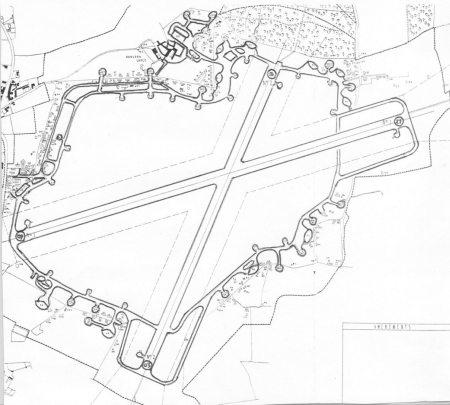
Hunsdon Airfield
Hunsdon Airfield is an airfield near Hunsdon, Hertfordshire and 2.8 miles (4.5 km) north of Harlow, Essex, England. As of 2021, it is used by a local microlight...

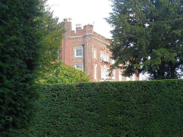
Gilston Park
Gilston Park is a Grade II* listed country house in Gilston, Hertfordshire, England. It was designed by Philip Hardwick for John Hodgson around 1852....
Hunsdon House
Hunsdon House is a historic house in Hunsdon, Hertfordshire, England, northwest of Harlow. Originally constructed in the 15th century, it was most notably...
Eastwick, Hertfordshire
Eastwick is a village and civil parish 7 miles (11 km) east of Hertford, in the East Hertfordshire district, in the county of Hertfordshire, England. In...
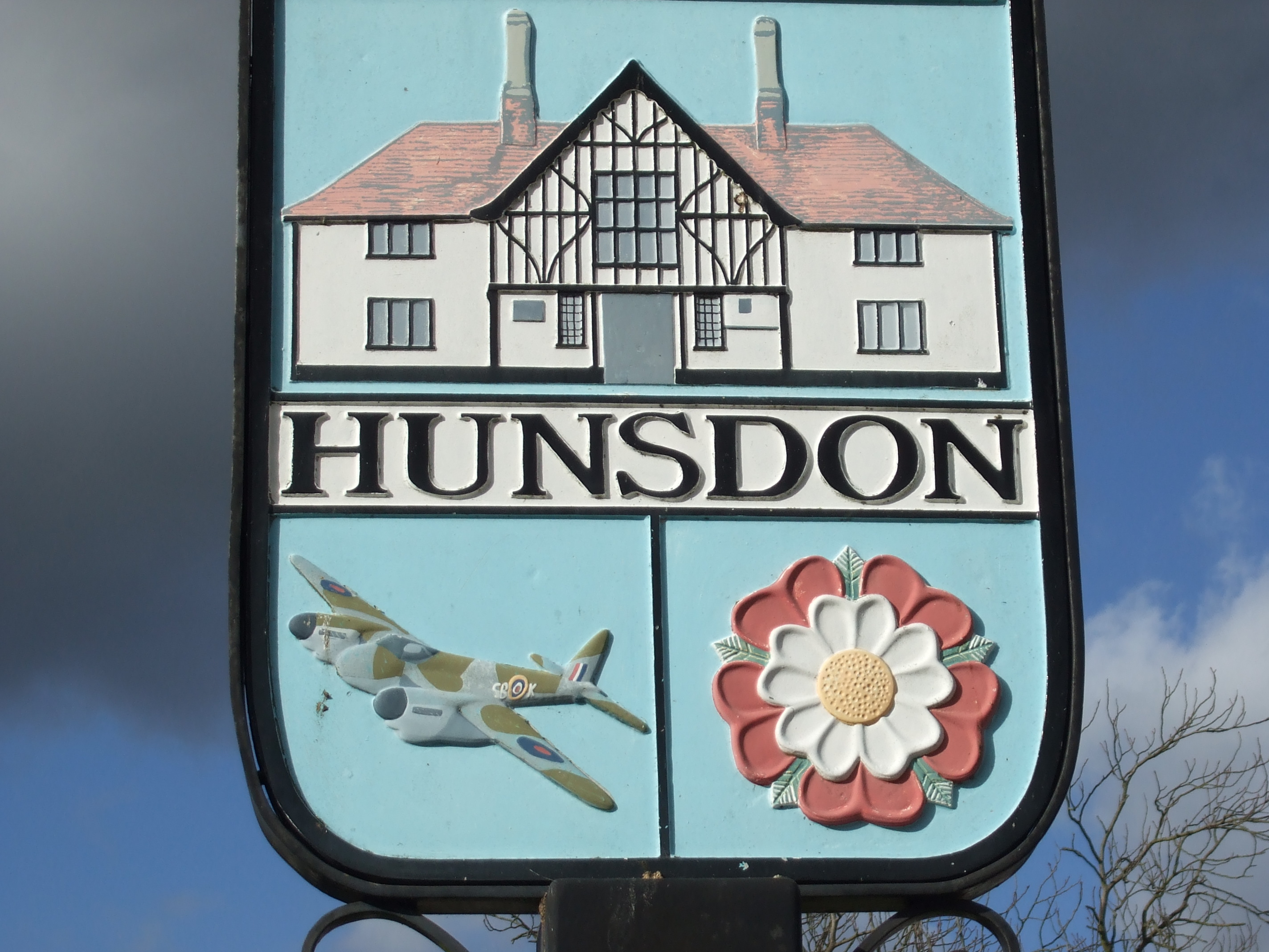
Hunsdon
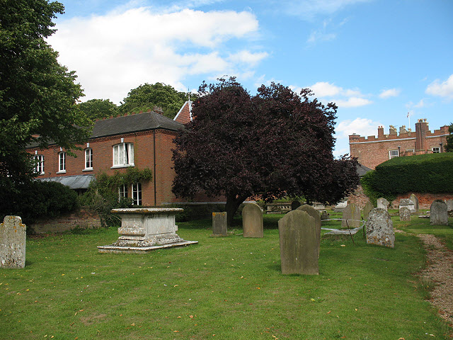
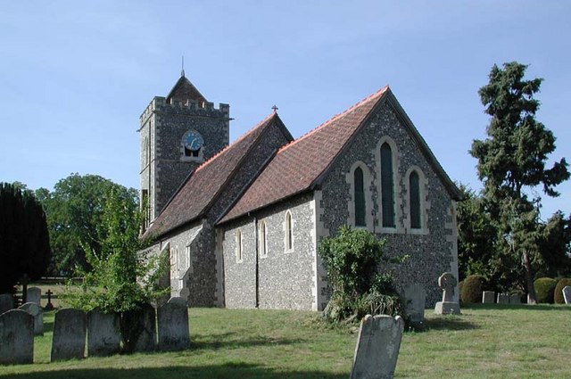
Hunsdon is a village and civil parish in Hertfordshire, England. It is around 5.5 miles (9 km) east of Ware and 5 miles (8 km) north-west of Harlow. The...

Catuvellauni
The Catuvellauni (Common Brittonic: *Catu-wellaunī, "war-chiefs") were a Celtic tribe or state of southeastern Britain before the Roman conquest, attested...

Gilston
Gilston is a village and civil parish in the East Hertfordshire district of Hertfordshire, England. It is located a little over one mile north of the town...

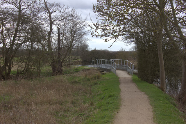
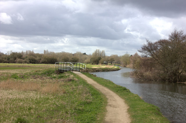
Stort Navigation
The Stort Navigation is the canalised section of the River Stort running 22 kilometres (14 mi) from the town of Bishop's Stortford, Hertfordshire, downstream...
Nearby Amenities
Located within 500m of 51.800331,0.075342153Have you been to Roundsell Shaw?
Leave your review of Roundsell Shaw below (or comments, questions and feedback).