Gibson's Shaw
Wood, Forest in Hertfordshire East Hertfordshire
England
Gibson's Shaw

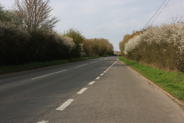
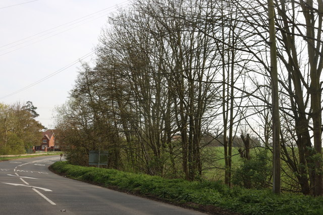
Gibson's Shaw is a picturesque woodland located in Hertfordshire, England. Spanning over a vast area, this natural paradise is often referred to as Wood or Forest by the locals. With its dense tree cover, diverse flora and fauna, and tranquil ambiance, Gibson's Shaw is a popular destination for nature enthusiasts and those seeking a peaceful retreat from the bustling city life.
The woodland is primarily composed of deciduous and coniferous trees, creating a harmonious blend of colors throughout the seasons. Towering oak, beech, and ash trees dominate the landscape, providing a rich habitat for a variety of wildlife. Visitors can catch glimpses of squirrels, rabbits, deer, and an array of bird species, including woodpeckers and owls.
Gibson's Shaw offers several well-maintained walking trails that wind through the forest, allowing visitors to explore the beauty of the area at their own pace. Each trail offers unique views and experiences, from sun-dappled paths to hidden streams and enchanting clearings. The forest floor is adorned with a tapestry of wildflowers during the spring and summer months, adding bursts of color to the already captivating scenery.
Nature lovers can also enjoy picnicking or simply unwinding amidst the serenity of the woodland. The peacefulness of Gibson's Shaw makes it an ideal place for meditation, birdwatching, or capturing stunning photographs of the natural surroundings.
Managed by local conservation groups, Gibson's Shaw is committed to preserving its ecological diversity and ensuring a sustainable environment for future generations. As such, visitors are encouraged to respect the forest's natural beauty, follow designated trails, and refrain from littering or disturbing the wildlife.
Overall, Gibson's Shaw in Hertfordshire is a haven for nature enthusiasts and offers a serene escape into the heart of the English countryside.
If you have any feedback on the listing, please let us know in the comments section below.
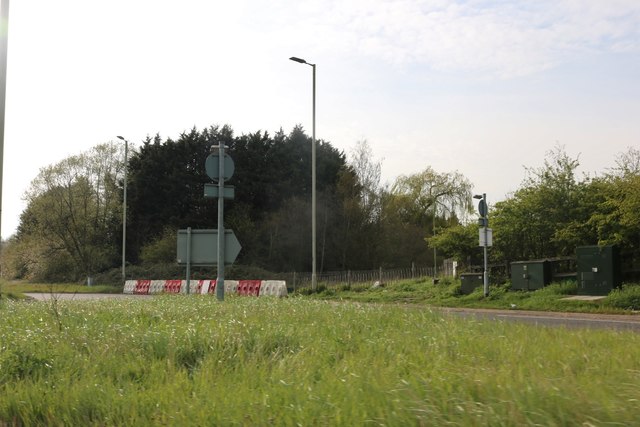
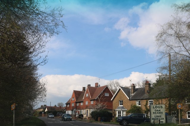
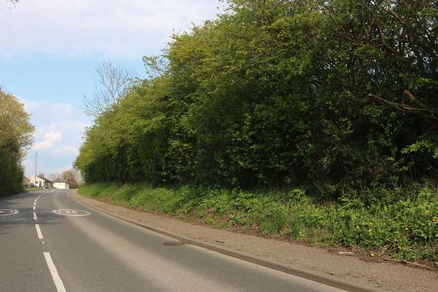
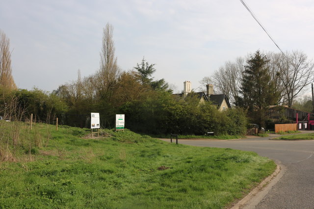
Gibson's Shaw Images
Images are sourced within 2km of 51.80002/0.080737781 or Grid Reference TL4313. Thanks to Geograph Open Source API. All images are credited.


Gibson's Shaw is located at Grid Ref: TL4313 (Lat: 51.80002, Lng: 0.080737781)
Administrative County: Hertfordshire
District: East Hertfordshire
Police Authority: Hertfordshire
What 3 Words
///spill.lasts.began. Near Harlow, Essex
Nearby Locations
Related Wikis

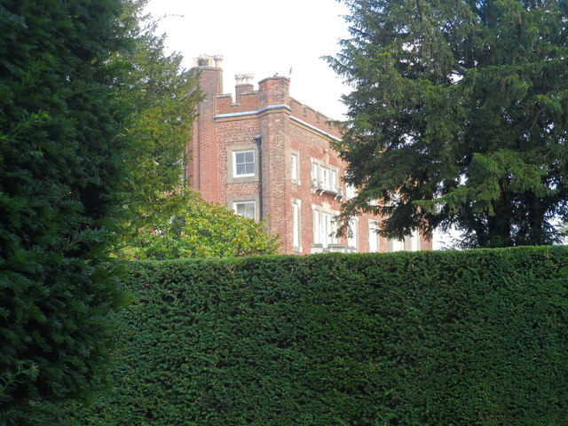
Gilston Park
Gilston Park is a Grade II* listed country house in Gilston, Hertfordshire, England. It was designed by Philip Hardwick for John Hodgson around 1852....
Hunsdon Airfield
Hunsdon Airfield is an airfield near Hunsdon, Hertfordshire and 2.8 miles (4.5 km) north of Harlow, Essex, England. As of 2021, it is used by a local microlight...

Catuvellauni
The Catuvellauni (Common Brittonic: *Catu-wellaunī, "war-chiefs") were a Celtic tribe or state of southeastern Britain before the Roman conquest, attested...
Eastwick, Hertfordshire
Eastwick is a village and civil parish 7 miles (11 km) east of Hertford, in the East Hertfordshire district, in the county of Hertfordshire, England. In...

Gilston
Gilston is a village and civil parish in the East Hertfordshire district of Hertfordshire, England. It is located a little over one mile north of the town...
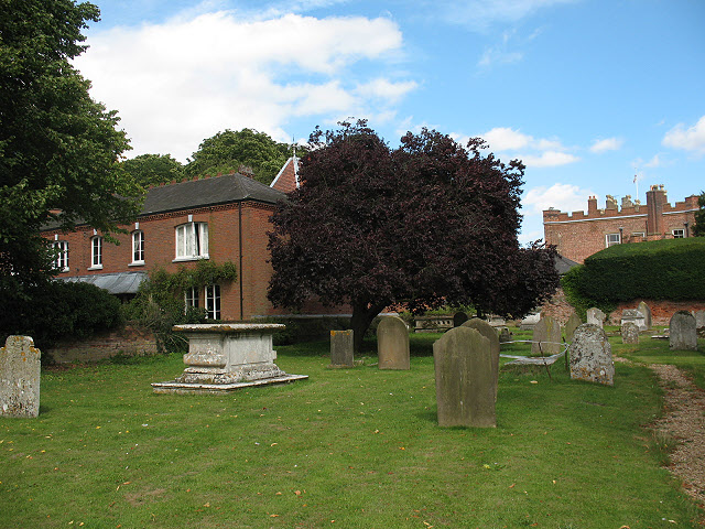
Hunsdon House
Hunsdon House is a historic house in Hunsdon, Hertfordshire, England, northwest of Harlow. Originally constructed in the 15th century, it was most notably...
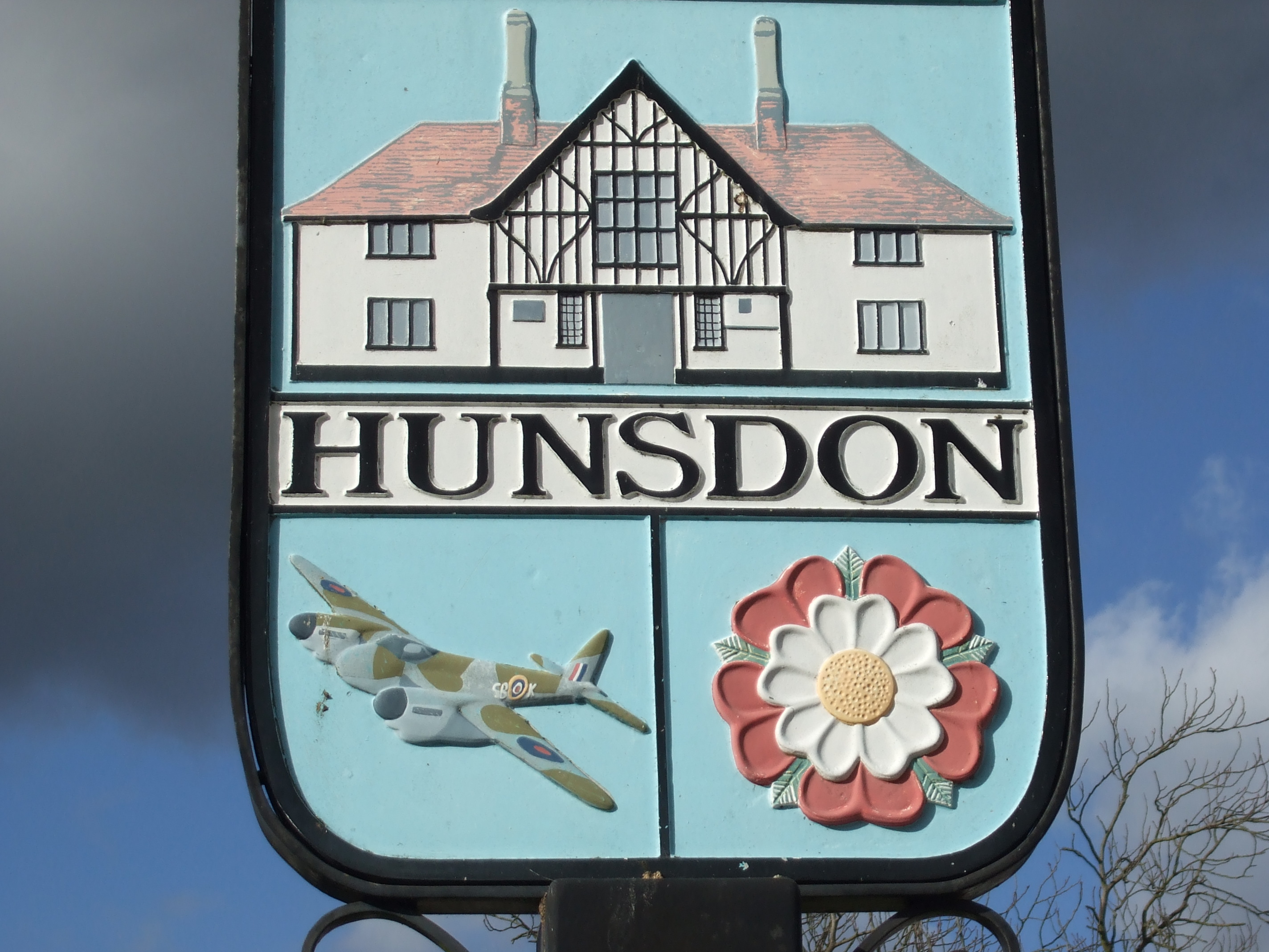
Hunsdon
Hunsdon is a village and civil parish in Hertfordshire, England. It is around 5.5 miles (9 km) east of Ware and 5 miles (8 km) north-west of Harlow. The...

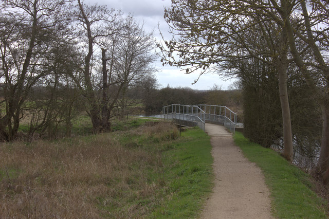
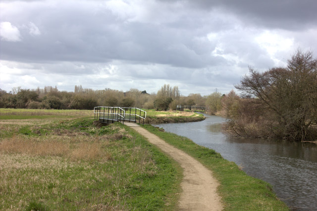
Stort Navigation
The Stort Navigation is the canalised section of the River Stort running 22 kilometres (14 mi) from the town of Bishop's Stortford, Hertfordshire, downstream...
Nearby Amenities
Located within 500m of 51.80002,0.080737781Have you been to Gibson's Shaw?
Leave your review of Gibson's Shaw below (or comments, questions and feedback).