Alburyend Wood

Wood, Forest in Hertfordshire East Hertfordshire

England

Alburyend Wood

Building new section of the A120 This will bypass Little Hadham. The original section of the A120 follows a Roman road.
Building new section of the A120 Credit: Bikeboy

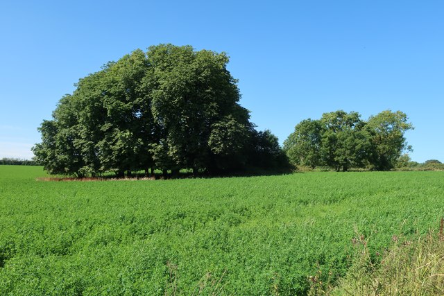
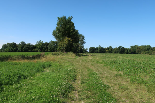
Alburyend Wood is a picturesque woodland located in the county of Hertfordshire, England. Situated near the village of Albury, it covers an area of approximately 200 acres and is a popular destination for nature lovers and outdoor enthusiasts.

The wood is predominantly made up of native broadleaf trees such as oak, beech, and ash, creating a diverse and rich habitat for a wide range of flora and fauna. The dense canopy provides a sheltered environment for numerous bird species, including woodpeckers and owls, making it a haven for birdwatchers.

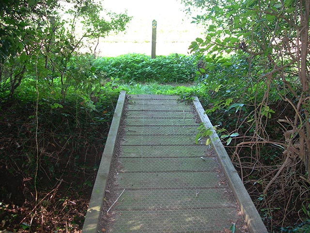
Walking through Alburyend Wood, visitors are greeted by a network of well-maintained footpaths that wind their way through the woodland, offering peaceful and scenic routes for exploration. The paths are also accessible for wheelchair users and families with young children, making it an inclusive place for all.

In addition to its natural beauty, Alburyend Wood has historical significance. It is believed to have been used for timber production during World War II and remnants of saw pits can still be seen today. The wood also boasts a small pond, adding to its charm and providing a home for various aquatic creatures.

Alburyend Wood is managed by a local conservation trust, which ensures the preservation of its natural features and encourages responsible use of the woodland. This includes regular maintenance of footpaths, conservation of native species, and protection against invasive plant species.

Overall, Alburyend Wood offers visitors a tranquil escape from the hustle and bustle of everyday life, providing a glimpse into the natural beauty and rich history of Hertfordshire's woodlands.

If you have any feedback on the listing, please let us know in the comments section below.

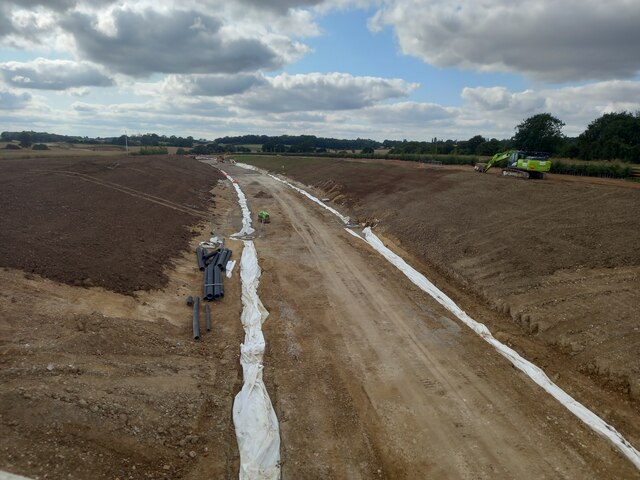
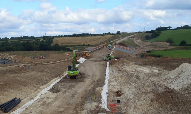
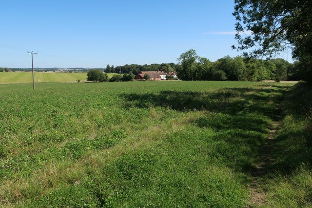
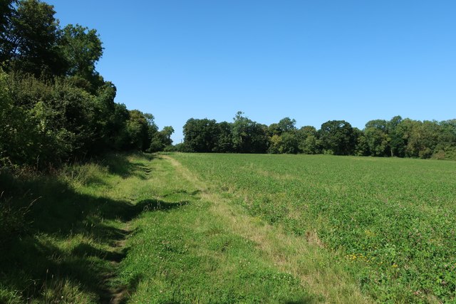
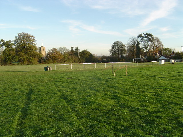
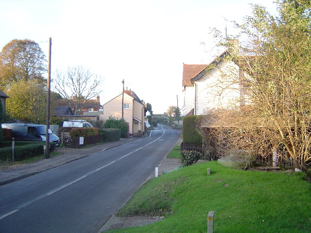
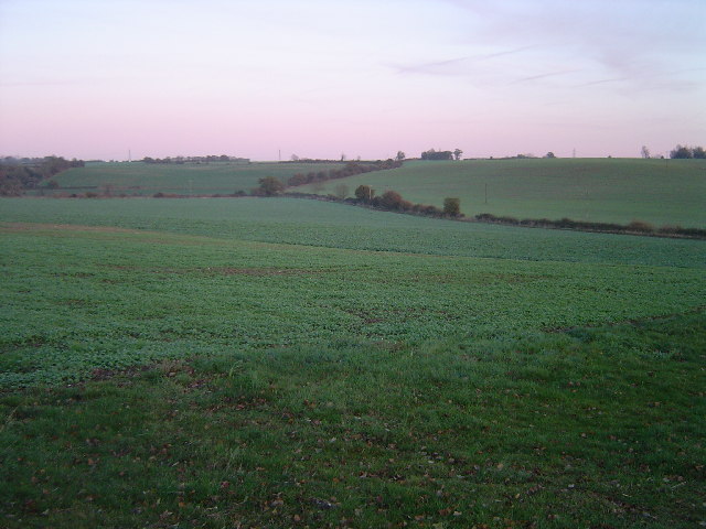
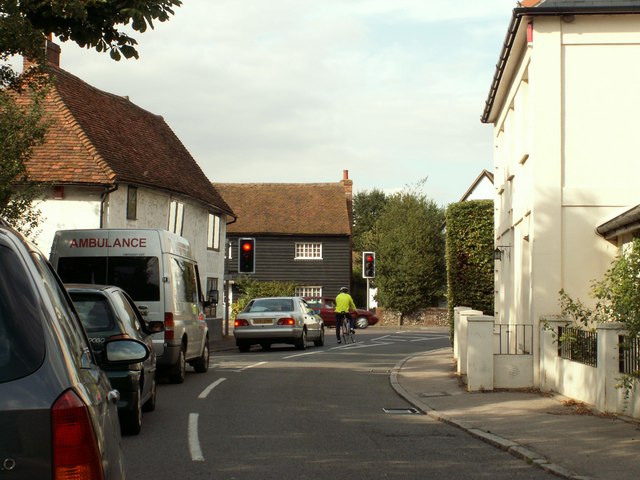
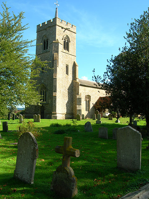
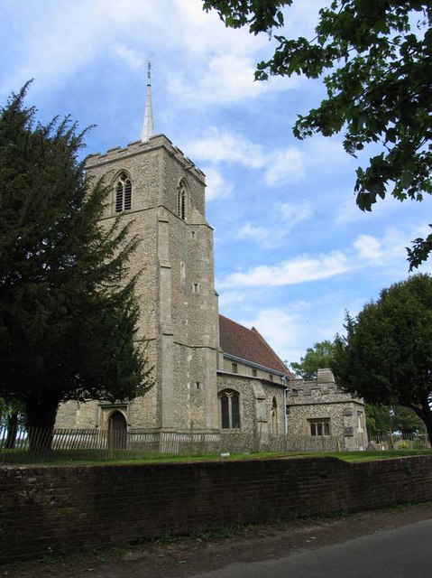
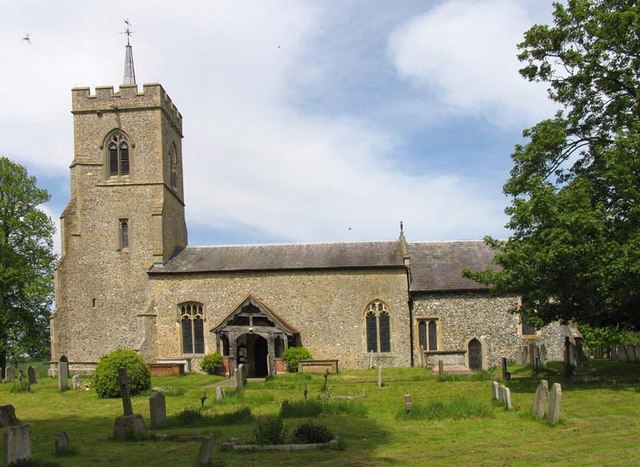
Alburyend Wood Images

Images are sourced within 2km of 51.891151/0.079538705 or Grid Reference TL4323. Thanks to Geograph Open Source API. All images are credited.

Building new section of the A120 This will bypass Little Hadham. The original section of the A120 follows a Roman road.
Building new section of the A120
This will bypass Little Hadham. The original section of the A120 follows a Roman road.
Building new section of the A120, looking east This will bypass Little Hadham. The original section of the A120 follows a Roman road.
Building new section of the A120, looking east
This will bypass Little Hadham. The original section of the A120 follows a Roman road.
Field near Albury Hall
Harcamlow Way
Harcamlow Way
Harcamlow Way past Albury Hall Cottages
Harcamlow Way
Harcamlow Way
Albury The finest village football pitch complete with dugouts for the management, railings to keep the spectators in order, and there is a pavilion, not in the photo, too. The tower of the 13th Century Church of St. Mary The Virgin is visible above the trees. The very informative and active village website can be found here <span class="nowrap"><a title="http://www.alburyvillage.org.uk/index.htm" rel="nofollow ugc noopener" href="http://www.alburyvillage.org.uk/index.htm">Link</a><img style="margin-left:2px;" alt="External link" title="External link - shift click to open in new window" src="https://s1.geograph.org.uk/img/external.png" width="10" height="10"/></span>
Albury
The finest village football pitch complete with dugouts for the management, railings to keep the spectators in order, and there is a pavilion, not in the photo, too. The tower of the 13th Century Church of St. Mary The Virgin is visible above the trees. The very informative and active village website can be found here LinkExternal link
Clapgate Clapgate village viewed looking northwards towards the crossroads. This is an inadvertent near-repeat of an old photo on the Albury Village website, <span class="nowrap"><a title="http://www.alburyvillage.org.uk/images/Clapgate%20crossroads%20looking%20North.jpg" rel="nofollow ugc noopener" href="http://www.alburyvillage.org.uk/images/Clapgate%20crossroads%20looking%20North.jpg">Link</a><img style="margin-left:2px;" alt="External link" title="External link - shift click to open in new window" src="https://s1.geograph.org.uk/img/external.png" width="10" height="10"/></span> with the building on the right showing in both.
Clapgate
Clapgate village viewed looking northwards towards the crossroads. This is an inadvertent near-repeat of an old photo on the Albury Village website, LinkExternal link with the building on the right showing in both.
River Ash valley, Little Hadham Viewed looking north eastwards over arable farmland, this is the valley about 1 kilometre north of Little Hadham.
River Ash valley, Little Hadham
Viewed looking north eastwards over arable farmland, this is the valley about 1 kilometre north of Little Hadham.
The Nags Head Pub, Little Hadham
Old Hand Pump An old hand pump opposite The Nags Head Pub in Little Hadham.
Old Hand Pump
An old hand pump opposite The Nags Head Pub in Little Hadham.
Sharpe's Farmhouse, near Little Hadham, Herts.
Little Hadham crossroads, Herts. This view shows where the road from Much Hadham meets the busy A.120.
Little Hadham crossroads, Herts.
This view shows where the road from Much Hadham meets the busy A.120.
War Memorial at Little Hadham, Herts.
St Cecilia's Church, Little Hadham The local fields are full of flints and the church is constructed from these.
St Cecilia's Church, Little Hadham
The local fields are full of flints and the church is constructed from these.
Footbridge On the path on the outskirts of Highfield, Little Hadham.
Footbridge
On the path on the outskirts of Highfield, Little Hadham.
Old wooden sign Well-weathered wooden sign indicating that this path runs from Little Hadham to Albury End, at the junction with the path to Burrell's Spring
Old wooden sign
Well-weathered wooden sign indicating that this path runs from Little Hadham to Albury End, at the junction with the path to Burrell's Spring
St Mary the Virgin, Albury, Herts
Show me another place!

Alburyend Wood is located at Grid Ref: TL4323 (Lat: 51.891151, Lng: 0.079538705)

Administrative County: Hertfordshire

District: East Hertfordshire

Police Authority: Hertfordshire

What 3 Words

///messaging.cuter.drifters. Near Much Hadham, Hertfordshire

Nearby Locations

Alburyend Wood

Related Wikis

Albury End

Albury End is a hamlet in Hertfordshire, England. It is in the civil parish of Albury. == External links == Media related to Albury End at Wikimedia Commons

Little Hadham

Little Hadham is a village and civil parish in the district of East Hertfordshire, Hertfordshire, England. At the census of 2001 it had a population of...

Albury, Hertfordshire

Albury is a village and civil parish in the East Hertfordshire district of Hertfordshire, England, about five miles west of Bishop's Stortford. According...

Wellpond Green

Wellpond Green is a hamlet near the A120 road and the town of Bishop's Stortford, in the county of Hertfordshire, England. Wellpond Green contains 4 listed...

Patmore Heath

Patmore Heath is a 7.6 hectares (19 acres) biological Site of Special Scientific Interest in East Hertfordshire, England, 2 kilometres north-east of Albury...

Braughing Friars

Braughing Friars is a hamlet in Hertfordshire, England. It is in the civil parish of Braughing. == External links == Media related to Braughing Friars...

Barleycroft End

Barleycroft End is a hamlet in Hertfordshire, England. It is in the civil parish of Furneux Pelham. == External links == Media related to Barleycroft...

Braughing

Braughing is a village and civil parish, between the rivers Quin and Rib, in the non-metropolitan district of East Hertfordshire, part of the English...

Nearby Amenities

Located within 500m of 51.891151,0.079538705
Albury End
Place: hamlet
Wikidata: Q4712856
Lat/Long: 51.8937529/0.0753295
Material: wood
Power: pole
Lat/Long: 51.8942932/0.0762874
Material: wood
Power: pole
Lat/Long: 51.8902129/0.0754827
Material: wood
Power: pole
Lat/Long: 51.8956127/0.0799647
Material: wood
Power: pole
Lat/Long: 51.8911564/0.0758207
Power: pole
Lat/Long: 51.8927111/0.0763947
Material: wood
Power: pole
Lat/Long: 51.893358/0.0765931
Material: wood
Power: pole
Lat/Long: 51.8920523/0.0761425
Material: wood
Power: pole
Lat/Long: 51.895184/0.0788033
Material: wood
Power: pole
Lat/Long: 51.8947053/0.0774514
Material: wood
Power: pole
Lat/Long: 51.8949471/0.0761345
Weighbridge
Lat/Long: 51.8889711/0.0787913
Information: guidepost
Tourism: information
Lat/Long: 51.8900032/0.0854633
Information: guidepost
Tourism: information
Lat/Long: 51.8871943/0.082826
Information: guidepost
Tourism: information
Lat/Long: 51.8867603/0.0787846
Material: wood
Power: pole
Lat/Long: 51.8882682/0.0748618
Power: pole
Lat/Long: 51.8893334/0.0752598
The data included in this document is from www.openstreetmap.org. The data is made available under ODbL.

Have you been to Alburyend Wood?

Leave your review of Alburyend Wood below (or comments, questions and feedback).