Parndon Wood

Wood, Forest in Essex Epping Forest

England

Parndon Wood

Church of St. Mary the Virgin, Great Parndon, Harlow, Essex Not far from 'The Cock' Public House
Church of St. Mary the Virgin, Great Parndon, Harlow, Essex Credit: Patrick Lee

Parndon Wood is a picturesque woodland area located in Harlow, Essex, England. Spanning over 84 acres, it is a designated site of Special Scientific Interest (SSSI) due to its rich biodiversity and unique habitats.

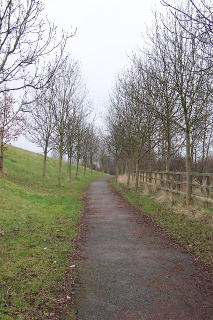
The woodland consists primarily of ancient hornbeam coppice, with oak, ash, and birch trees scattered throughout. These trees create a dense canopy that provides shade and shelter for a wide range of wildlife species. The forest floor is covered in a thick carpet of bluebells during spring, creating a stunning display of vibrant colors.

Parndon Wood is known for its diverse bird population, with over 60 different species recorded. Visitors may catch a glimpse of woodpeckers, nuthatches, and tawny owls among the treetops. The wood is also home to a variety of mammals, including foxes, badgers, and squirrels.

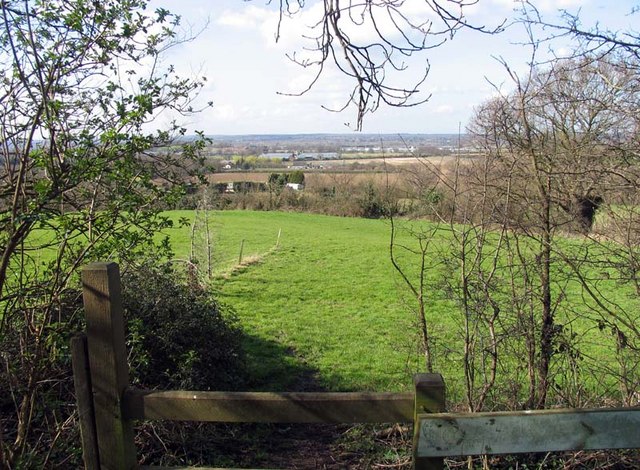
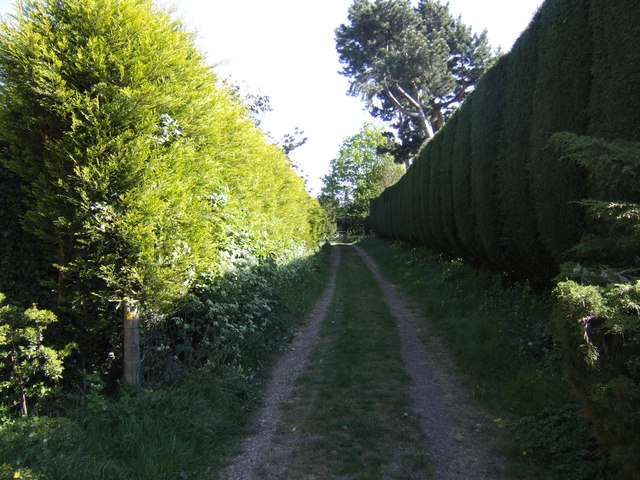
Surrounding the woodland is a network of footpaths and trails, offering visitors the opportunity to explore the natural beauty of the area. The wood is a popular destination for nature walks, picnics, and photography. The peaceful atmosphere and tranquil surroundings make it an ideal place to escape the hustle and bustle of everyday life.

Managed by the Harlow Council, Parndon Wood is committed to preserving and enhancing its natural habitats. Regular conservation work is carried out to maintain the woodland's ecological balance and protect its unique flora and fauna.

Overall, Parndon Wood is a hidden gem in Essex, offering a haven for nature enthusiasts and a chance to experience the beauty of the British countryside.

If you have any feedback on the listing, please let us know in the comments section below.
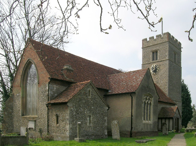
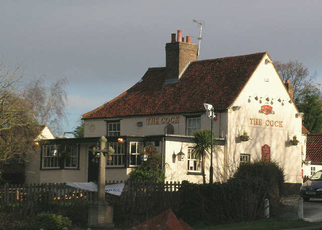
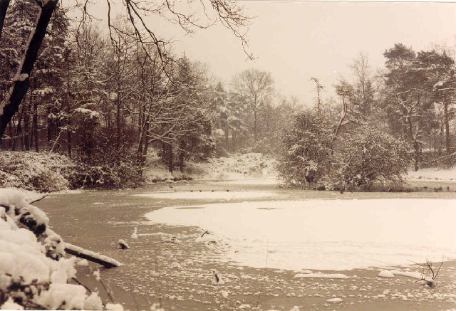
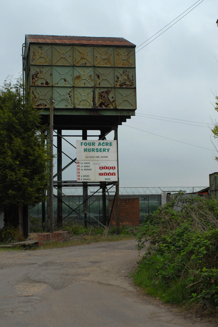
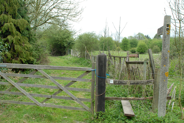
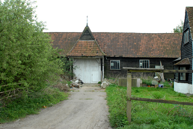
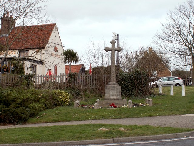
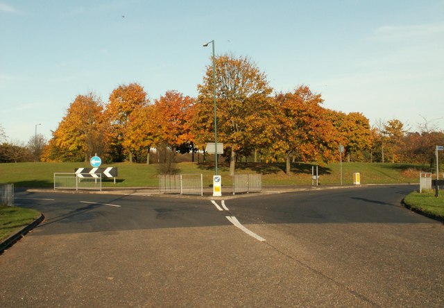
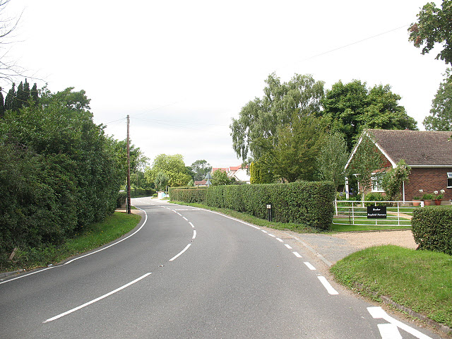
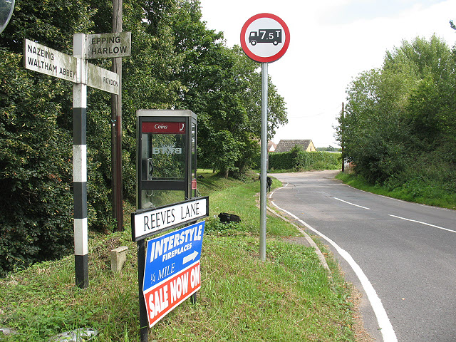
Parndon Wood Images

Images are sourced within 2km of 51.760406/0.065540634 or Grid Reference TL4208. Thanks to Geograph Open Source API. All images are credited.

Church of St. Mary the Virgin, Great Parndon, Harlow, Essex Not far from 'The Cock' Public House
Church of St. Mary the Virgin, Great Parndon, Harlow, Essex
Not far from 'The Cock' Public House
'The Cock' Public House, Great Parndon, Harlow, Essex
Oakwood Pond, Harlow in Winter Oakwood Pond and the surrounding wood is one of the many "nature" or green areas in Harlow New Town, thus preserving wildlife for the residents
Oakwood Pond, Harlow in Winter
Oakwood Pond and the surrounding wood is one of the many "nature" or green areas in Harlow New Town, thus preserving wildlife for the residents
Entrance to an Industrial Estate The two factories shown mark the beginning of The Pinnacles industrial estate on the north west corner of Harlow.
Entrance to an Industrial Estate
The two factories shown mark the beginning of The Pinnacles industrial estate on the north west corner of Harlow.
Winter Avenue of Trees, Jean McAlpine Park, Harlow Jean McAlpine Park is a landscaped land-fill site in Harlow. It is an area which provides good habitat for wildlife.
Winter Avenue of Trees, Jean McAlpine Park, Harlow
Jean McAlpine Park is a landscaped land-fill site in Harlow. It is an area which provides good habitat for wildlife.
'Black Swan' inn, Broadley Common, Essex
Harlow: A1169 Third Avenue This is an elegant footbridge that links the New Frontiers Science Park with the GlaxoSmithKline site over the A1169 road.
Harlow: A1169 Third Avenue
This is an elegant footbridge that links the New Frontiers Science Park with the GlaxoSmithKline site over the A1169 road.
View from All Saints, Nazeing churchyard, Essex
Nursery Water Tower in Old House Lane
Footpath north from Epping Road, Halls Green
Barn in Old House Lane
Footpath south of Roydon
The War Memorial at Cocks Green, Great Parndon
The roundabout where Peldon Road meets Third Avenue
Roydon Hamlet Three roads meet in the centre of this hamlet.  This one - Hamlet Hill - has bungalows either side.  Perhaps planning policy forbids two-storey developments here on top of the hill?
Roydon Hamlet
Three roads meet in the centre of this hamlet. This one - Hamlet Hill - has bungalows either side. Perhaps planning policy forbids two-storey developments here on top of the hill?
Phone box and signage, Roydon Hamlet A modern style phone box stands at the junction of Hamlet Hill (signed here towards Nazeing), Reeves Lane (towards Roydon) and Tylers Road (towards Epping).
Phone box and signage, Roydon Hamlet
A modern style phone box stands at the junction of Hamlet Hill (signed here towards Nazeing), Reeves Lane (towards Roydon) and Tylers Road (towards Epping).
Old House Lane near Halls Green A residential street leading to some commercial nurseries <a href="https://www.geograph.org.uk/photo/1444719">TL4208 : Nurseries off Old House Lane</a> / <a href="https://www.geograph.org.uk/photo/1444727">TL4208 : Morreale's Nursery, Old House Lane</a>, Old House Lane is a 'no through road' to motor traffic but continues as a bridleway <a href="https://www.geograph.org.uk/photo/1444731">TL4208 : Old House Lane (bridleway)</a>.
Old House Lane near Halls Green
A residential street leading to some commercial nurseries TL4208 : Nurseries off Old House Lane / TL4208 : Morreale's Nursery, Old House Lane, Old House Lane is a 'no through road' to motor traffic but continues as a bridleway TL4208 : Old House Lane (bridleway).
Nurseries off Old House Lane One of many nurseries in this area.
Nurseries off Old House Lane
One of many nurseries in this area.
Show me another place!

Parndon Wood is located at Grid Ref: TL4208 (Lat: 51.760406, Lng: 0.065540634)

Administrative County: Essex

District: Epping Forest

Police Authority: Essex

What 3 Words

///aware.zone.valley. Near Roydon, Essex

Related Wikis

Hawkenbury Meadow

Hawkenbury Meadow is a 1.6 hectare Local Nature Reserve in Harlow in Essex. It is owned and managed by Harlow District Council.The site is neutral grassland...

Great Parndon

Great Parndon is an area and former civil parish in Essex, England, that has been absorbed by the new town of Harlow and is now an electoral ward. It had...

Harlow Town F.C.

Harlow Town Football Club is an English football club based in Harlow, Essex. The club is a member of the Eastern Counties League Division One South and...

Cannons Wood F.C.

Cannons Wood Football Club is a non-league football club based in Harlow, England. They are currently members of the Eastern Counties League Division One...

Harlow Stadium

Harlow Stadium is a greyhound racing track located in Harlow, Essex, England. The stadium also has executive suites, a restaurant, a number of bars and...

Harlow Jewish Community

Harlow Jewish Community, a member of the Movement for Reform Judaism, is a Reform Jewish congregation whose synagogue is at Harberts Road, Harlow, in Essex...

Roydon Hamlet

Roydon Hamlet is a hamlet in the Epping Forest district in the English county of Essex. Nearby settlements include the large town of Harlow and the village...

Roydon United Reformed Church

Roydon United Reformed Church is located in Harlow Road, Roydon, Essex, England. == History == Roydon United Reformed church originated in 1798, when James...

Nearby Amenities

Located within 500m of 51.760406,0.065540634
Crossing
Crossing: unmarked
Lat/Long: 51.7628519/0.0684441
Created By: YahooApplet 1.0
Lat/Long: 51.7571464/0.0689315
Created By: YahooApplet 1.0
Lat/Long: 51.7570999/0.069232
Created By: YahooApplet 1.0
Lat/Long: 51.756635/0.0666892
Created By: YahooApplet 1.0
Lat/Long: 51.756728/0.0665283
Created By: YahooApplet 1.0
Lat/Long: 51.7577308/0.0689959
Created By: YahooApplet 1.0
Lat/Long: 51.7578769/0.0682127
Created By: YahooApplet 1.0
Lat/Long: 51.7579832/0.0684917
Created By: YahooApplet 1.0
Lat/Long: 51.7580828/0.0691247
Crossing
Crossing: unmarked
Crossing Island: yes
Crossing Markings: no
Tactile Paving: yes
Lat/Long: 51.7580417/0.0715963
Created By: YahooApplet 1.0
Lat/Long: 51.7584281/0.0684166
Created By: YahooApplet 1.0
Lat/Long: 51.7585144/0.0681483
Created By: YahooApplet 1.0
Lat/Long: 51.7590258/0.0694465
Created By: YahooApplet 1.0
Lat/Long: 51.7577308/0.0674724
Created By: YahooApplet 1.0
Lat/Long: 51.7576113/0.0673651
Created By: YahooApplet 1.0
Lat/Long: 51.7574917/0.0673115
Created By: YahooApplet 1.0
Lat/Long: 51.7572659/0.067333
Created By: YahooApplet 1.0
Lat/Long: 51.7640061/0.0628376
Created By: YahooApplet 1.0
Lat/Long: 51.7635347/0.0609278
Created By: YahooApplet 1.0
Lat/Long: 51.7621137/0.0614106
Created By: YahooApplet 1.0
Lat/Long: 51.7620207/0.0612819
Created By: YahooApplet 1.0
Lat/Long: 51.7619941/0.061078
Created By: YahooApplet 1.0
Lat/Long: 51.7620141/0.0605952
Created By: YahooApplet 1.0
Lat/Long: 51.7620273/0.0587821
Created By: YahooApplet 1.0
Lat/Long: 51.7579832/0.0600373
Created By: YahooApplet 1.0
Lat/Long: 51.7581558/0.0603056
Created By: YahooApplet 1.0
Lat/Long: 51.7583285/0.0606918
Created By: YahooApplet 1.0
Lat/Long: 51.7584547/0.0610137
Created By: YahooApplet 1.0
Lat/Long: 51.7642186/0.0636315
Bus Stop
Shield House
Bus: yes
Naptan AtcoCode: 150035026005
Naptan Bearing: N
Naptan CommonName: Shield House
Naptan Indicator: o/s
Naptan Landmark: Shield House
Naptan NaptanCode: esxapwjp
Naptan PlusbusZoneRef: HRLWTWN
Naptan Street: Elizabeth Way
Naptan Verified: no
Public Transport: platform
Source: naptan_import
Lat/Long: 51.7642133/0.0676383
Shield House
Naptan AtcoCode: 150035026Y05
Naptan Bearing: S
Naptan BusStopType: CUS
Naptan CommonName: Shield House
Naptan Indicator: Opp
Naptan Landmark: Shield House
Naptan NaptanCode: esxjamdm
Naptan PlusbusZoneRef: HRLWTWN
Naptan Street: Elizabeth Way
Naptan Verified: no
Public Transport: platform
Source: naptan_import
Lat/Long: 51.7642202/0.0677546
Bus Stop
Peacocks
Bus: yes
Naptan AtcoCode: 150035033004
Naptan Bearing: S
Naptan CommonName: Peacocks
Naptan Indicator: Adj
Naptan Landmark: Peacocks
Naptan NaptanCode: esxapwmd
Naptan PlusbusZoneRef: HRLWTWN
Naptan Street: Brookside
Naptan Verified: no
Public Transport: platform
Source: naptan_import
Lat/Long: 51.7570637/0.0678924
Merring Way
Naptan AtcoCode: 1500DGK241
Naptan Bearing: E
Naptan BusStopType: CUS
Naptan CommonName: Merring Way
Naptan Indicator: Adj
Naptan Landmark: Merring Way
Naptan NaptanCode: esxjdjag
Naptan Street: Flex Meadow
Naptan Verified: no
Public Transport: platform
Source: naptan_import
Lat/Long: 51.7626527/0.0636868
Flex Meadow
Naptan AtcoCode: 1500IM2581
Naptan Bearing: W
Naptan BusStopType: CUS
Naptan CommonName: Flex Meadow
Naptan Indicator: W-bound
Naptan Landmark: Flex Meadow
Naptan NaptanCode: esxadptj
Naptan PlusbusZoneRef: HRLWTWN
Naptan Street: Flex Meadow
Naptan Verified: no
Public Transport: platform
Source: naptan_import
Lat/Long: 51.7624482/0.0672678
Bus Stop
Katherines Hatch
Bus: yes
Naptan AtcoCode: 1500IM2694
Naptan Bearing: W
Naptan CommonName: Katherines Hatch
Naptan Indicator: o/s
Naptan Landmark: Katherines Hatch
Naptan NaptanCode: esxapwma
Naptan PlusbusZoneRef: HRLWTWN
Naptan Street: Brookside
Naptan Verified: no
Public Transport: platform
Source: naptan_import
Lat/Long: 51.7580046/0.0711482
Power: tower
Lat/Long: 51.7619702/0.0589496
Crossing
Bicycle: yes
Crossing: unmarked
Crossing Ref: toucan
Lat/Long: 51.7624327/0.0677647
Power: tower
Lat/Long: 51.7638095/0.0654163
Power: tower
Lat/Long: 51.7628699/0.0624874
Roy's Convenience Store
Shop: convenience
Lat/Long: 51.757877/0.0710538
Amo News
Shop: convenience
Lat/Long: 51.7578506/0.0712575
Fast Food
Fortune Inn
Cuisine: chinese
Lat/Long: 51.7578472/0.0711824
Cycleway: both
Direction: forward
Traffic Calming: choker
Lat/Long: 51.7580768/0.0694547
Crossing
Lat/Long: 51.7635315/0.0674866
Crossing
Crossing: unmarked
Lat/Long: 51.7627912/0.0666465
Crossing
Crossing: unmarked
Lat/Long: 51.7626857/0.0666701
Crossing
Lat/Long: 51.764265/0.0675854
Crossing
Crossing: unmarked
Lat/Long: 51.7633414/0.0674836
Crossing
Crossing: unmarked
Lat/Long: 51.7633136/0.0675701
Crossing
Lat/Long: 51.7626868/0.0634818
Crossing
Crossing: unmarked
Lat/Long: 51.7625963/0.0646546
Traffic Calming: island
Lat/Long: 51.7627334/0.066684
Direction: both
Traffic Calming: cushion
Lat/Long: 51.7623439/0.0678117
Crossing
Lat/Long: 51.7625828/0.0629095
Crossing
Lat/Long: 51.7625791/0.0633117
Crossing
Lat/Long: 51.7625733/0.0639614
Crossing
Lat/Long: 51.7625639/0.0651359
Crossing
Lat/Long: 51.7626879/0.062776
Barrier: lift_gate
Lat/Long: 51.7629282/0.0628051
Barrier: lift_gate
Lat/Long: 51.7629273/0.0628488
Loading Dock
Lat/Long: 51.7603332/0.067746
Loading Dock
Lat/Long: 51.7607838/0.0703646
The data included in this document is from www.openstreetmap.org. The data is made available under ODbL.

Have you been to Parndon Wood?

Leave your review of Parndon Wood below (or comments, questions and feedback).