Lower Wood

Wood, Forest in Essex Epping Forest

England

Lower Wood

Church of St. Mary the Virgin, Great Parndon, Harlow, Essex Not far from 'The Cock' Public House
Church of St. Mary the Virgin, Great Parndon, Harlow, Essex Credit: Patrick Lee

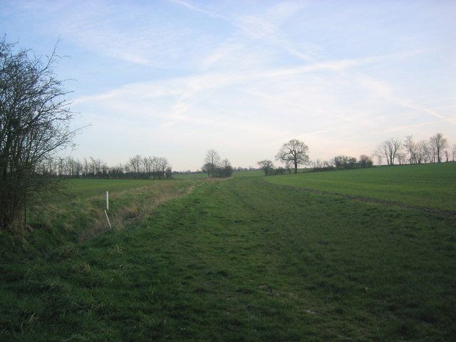
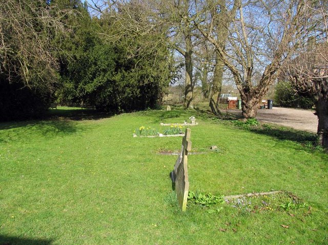
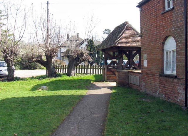
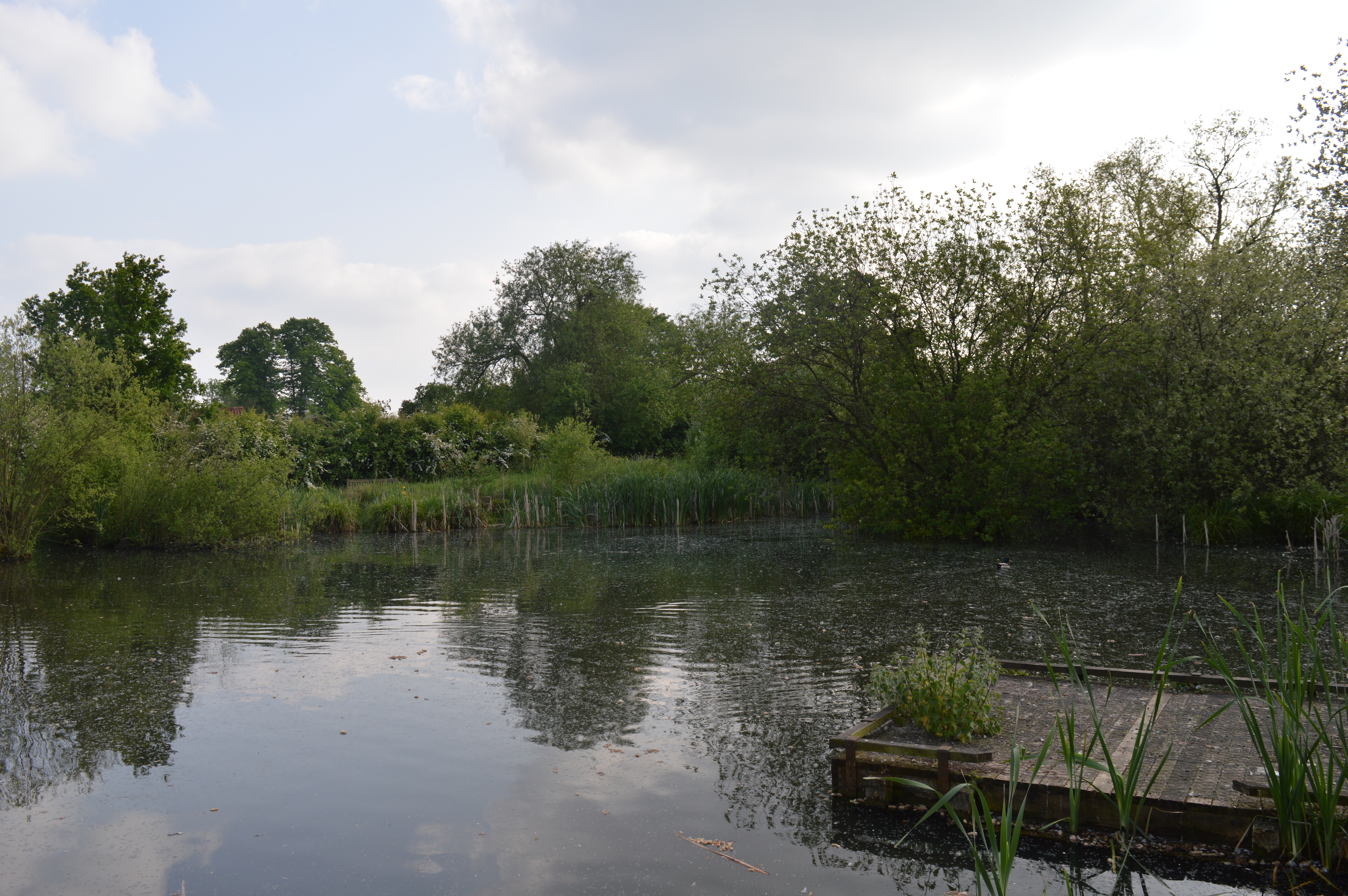
Lower Wood is a charming and serene area located in Essex, England. Situated within the larger region known as Wood, Forest, this tranquil woodland offers a diverse range of natural beauty and recreational opportunities for visitors.

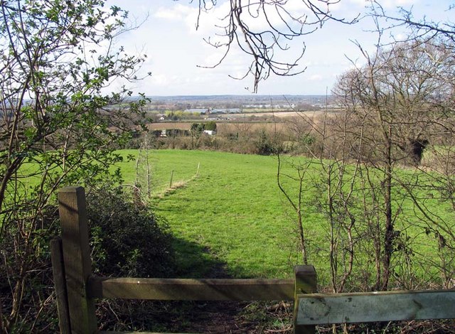
Covering an extensive area of approximately 200 acres, Lower Wood is known for its rich biodiversity and stunning landscapes. The wood is primarily composed of mature native trees, including oak, birch, and ash, which provide a lush canopy and create a sense of seclusion and tranquility. The forest floor is adorned with a vibrant tapestry of wildflowers, ferns, and mosses, adding to its natural allure.

Lower Wood is a haven for wildlife enthusiasts and nature lovers. The wood is home to a plethora of wildlife species, including rare birds, mammals, and reptiles. Birdwatchers can delight in the sight of woodpeckers, owls, and various songbirds that populate the area. Those with a keen eye might spot elusive mammals such as deer, foxes, and hedgehogs, while reptile enthusiasts may come across slow worms and lizards.

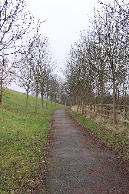
For visitors seeking outdoor activities, Lower Wood offers numerous walking trails and paths that wind through its enchanting landscapes. These trails cater to all levels of fitness and provide a wonderful opportunity to explore the wood's diverse flora and fauna. The wood is also home to a well-maintained picnic area, providing visitors with an ideal spot to relax and enjoy the natural surroundings.

Lower Wood in Essex is a true gem for those seeking solace in nature, offering a captivating blend of beauty, tranquility, and wildlife.

If you have any feedback on the listing, please let us know in the comments section below.
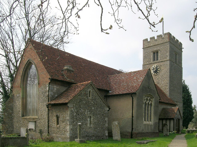
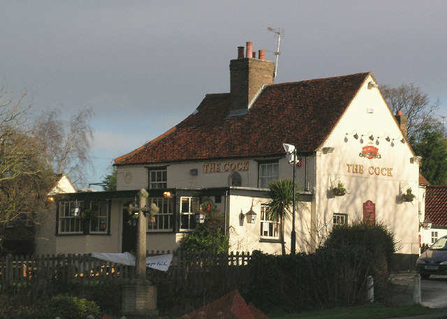
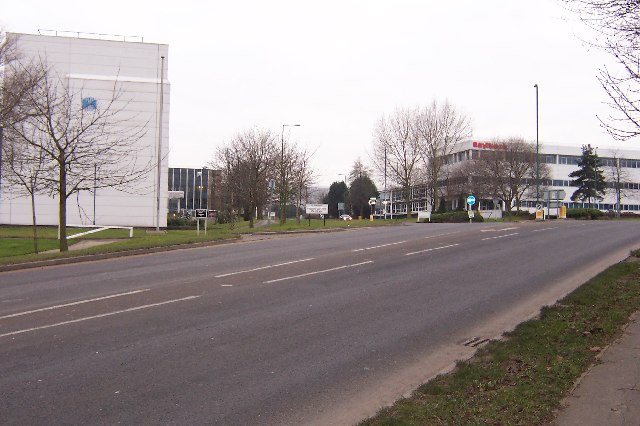
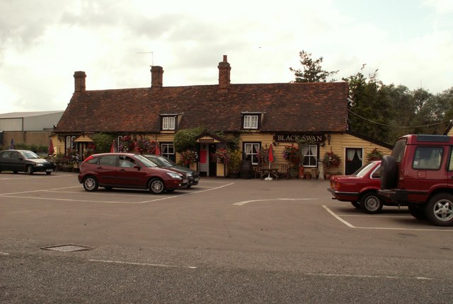
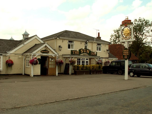
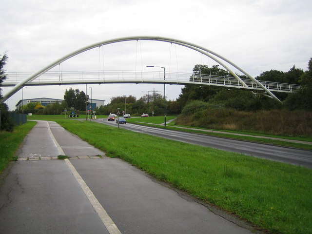
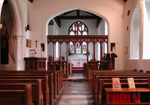
Lower Wood Images

Images are sourced within 2km of 51.754488/0.058938798 or Grid Reference TL4208. Thanks to Geograph Open Source API. All images are credited.

Church of St. Mary the Virgin, Great Parndon, Harlow, Essex Not far from 'The Cock' Public House
Church of St. Mary the Virgin, Great Parndon, Harlow, Essex
Not far from 'The Cock' Public House
'The Cock' Public House, Great Parndon, Harlow, Essex
Entrance to an Industrial Estate The two factories shown mark the beginning of The Pinnacles industrial estate on the north west corner of Harlow.
Entrance to an Industrial Estate
The two factories shown mark the beginning of The Pinnacles industrial estate on the north west corner of Harlow.
Winter Avenue of Trees, Jean McAlpine Park, Harlow Jean McAlpine Park is a landscaped land-fill site in Harlow. It is an area which provides good habitat for wildlife.
Winter Avenue of Trees, Jean McAlpine Park, Harlow
Jean McAlpine Park is a landscaped land-fill site in Harlow. It is an area which provides good habitat for wildlife.
'Black Swan' inn, Broadley Common, Essex
All Saints church, Nazeing, Essex This church has a Norman nave and a fine 16th century brick tower. It stands in a nice setting at the bottom of a dead-end road.
All Saints church, Nazeing, Essex
This church has a Norman nave and a fine 16th century brick tower. It stands in a nice setting at the bottom of a dead-end road.
'The Sun Inn', Broadley Common, Nazeing, Essex
Harlow: A1169 Third Avenue This is an elegant footbridge that links the New Frontiers Science Park with the GlaxoSmithKline site over the A1169 road.
Harlow: A1169 Third Avenue
This is an elegant footbridge that links the New Frontiers Science Park with the GlaxoSmithKline site over the A1169 road.
All Saints, Nazeing, Essex
Path through fields south of Broadley Common Path leading through green fields to Epping Green.
Path through fields south of Broadley Common
Path leading through green fields to Epping Green.
All Saints, Nazeing, Essex - Churchyard
All Saints, Nazeing, Essex - Lychgate
All Saints, Nazeing, Essex - Churchyard
All Saints, Nazeing, Essex - Porch
View from All Saints, Nazeing churchyard, Essex
All Saints, Nazeing, Essex
Show me another place!

Lower Wood is located at Grid Ref: TL4208 (Lat: 51.754488, Lng: 0.058938798)

Administrative County: Essex

District: Epping Forest

Police Authority: Essex

What 3 Words

///buzz.laser.began. Near Roydon, Essex

Related Wikis

Roydon Hamlet

Roydon Hamlet is a hamlet in the Epping Forest district in the English county of Essex. Nearby settlements include the large town of Harlow and the village...

Hawkenbury Meadow

Hawkenbury Meadow is a 1.6 hectare Local Nature Reserve in Harlow in Essex. It is owned and managed by Harlow District Council.The site is neutral grassland...

Great Parndon

Great Parndon is an area and former civil parish in Essex, England, that has been absorbed by the new town of Harlow and is now an electoral ward. It had...

Nazeing Triangle

Nazeing Triangle is a 0.5 hectare Local Nature Reserve in Nazeing, between Harlow and Cheshunt in Essex. It is owned by Nazeing Parish Council and managed...

Harlow Town F.C.

Harlow Town Football Club is an English football club based in Harlow, Essex. The club is a member of the Eastern Counties League Division One South and...

Cannons Wood F.C.

Cannons Wood Football Club is a non-league football club based in Harlow, England. They are currently members of the Eastern Counties League Division One...

Nazeing

Nazeing ( NAYZ-ing) is a village and parish in Essex, England. Within the parish are the separate settlements of Upper Nazeing, Middle Nazeing, and Lower...

Harlow Jewish Community

Harlow Jewish Community, a member of the Movement for Reform Judaism, is a Reform Jewish congregation whose synagogue is at Harberts Road, Harlow, in Essex...

Nearby Amenities

Located within 500m of 51.754488,0.058938798
Created By: YahooApplet 1.0
Lat/Long: 51.7509533/0.0563198
Created By: YahooApplet 1.0
Lat/Long: 51.7550411/0.0658524
Created By: YahooApplet 1.0
Lat/Long: 51.7549349/0.0659704
Created By: YahooApplet 1.0
Lat/Long: 51.7560378/0.0545342
Created By: YahooApplet 1.0
Lat/Long: 51.7562892/0.0548707
Created By: YahooApplet 1.0
Lat/Long: 51.7565553/0.0554347
Created By: YahooApplet 1.0
Lat/Long: 51.7567546/0.0559711
Created By: YahooApplet 1.0
Lat/Long: 51.7570933/0.0569796
Created By: YahooApplet 1.0
Lat/Long: 51.7579832/0.0600373
Created By: YahooApplet 1.0
Lat/Long: 51.7581558/0.0603056
Created By: YahooApplet 1.0
Lat/Long: 51.7583285/0.0606918
Created By: YahooApplet 1.0
Lat/Long: 51.7584547/0.0610137
Bus Stop
Old House Lane
Bus: yes
Naptan AtcoCode: 150035024004
Naptan Bearing: E
Naptan CommonName: Old House Lane
Naptan Crossing: Old House Lane
Naptan Indicator: Adj
Naptan Landmark: Old House Lane
Naptan NaptanCode: esxatdmt
Naptan PlusbusZoneRef: BROXBRN
Naptan Street: Epping Road
Naptan Verified: no
Public Transport: platform
Source: naptan_import
Lat/Long: 51.755867/0.0528249
Bus Stop
Old House Lane
Bus: yes
Naptan AtcoCode: 150035024005
Naptan Bearing: W
Naptan CommonName: Old House Lane
Naptan Crossing: Old House Lane
Naptan Indicator: Opp
Naptan Landmark: Old House Lane
Naptan NaptanCode: esxatdmw
Naptan PlusbusZoneRef: BROXBRN
Naptan Street: Epping Road
Naptan Verified: no
Public Transport: platform
Source: naptan_import
Lat/Long: 51.7558003/0.0530393
Give Way
Lat/Long: 51.7556995/0.0542517
The data included in this document is from www.openstreetmap.org. The data is made available under ODbL.

Have you been to Lower Wood?

Leave your review of Lower Wood below (or comments, questions and feedback).