Rowtye Wood
Wood, Forest in Surrey Tandridge
England
Rowtye Wood
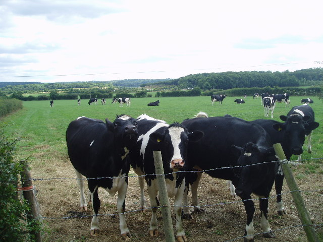
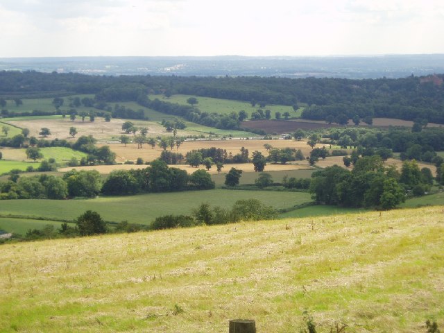
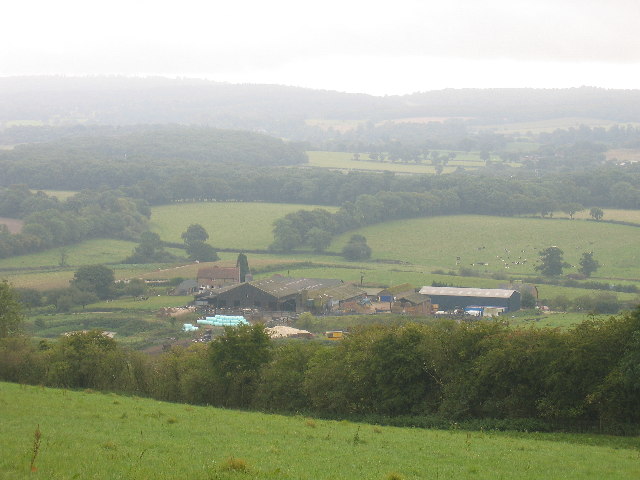
Located in the county of Surrey, Rowtye Wood is a picturesque woodland area known for its natural beauty and diverse wildlife. Covering an area of approximately 200 acres, this ancient woodland is a popular destination for nature enthusiasts and outdoor lovers alike.
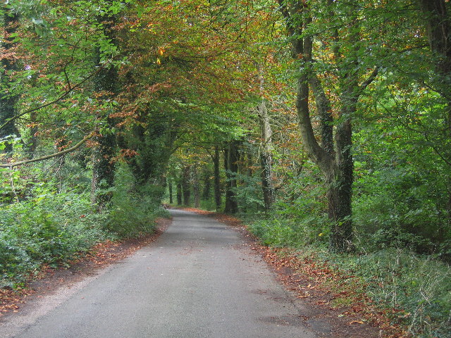
Rowtye Wood is characterized by its dense canopy of mature oak and beech trees, which provide a sheltered habitat for a variety of flora and fauna. The woodland floor is adorned with a carpet of bluebells in the spring, creating a stunning display of color. In addition to bluebells, Rowtye Wood is also home to an array of wildflowers, ferns, and mosses, contributing to its rich biodiversity.
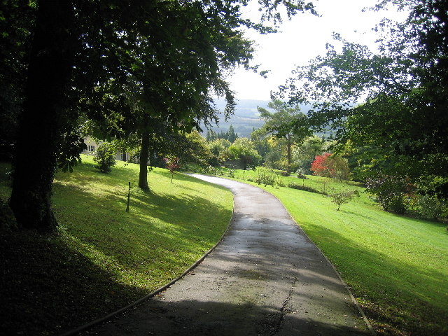
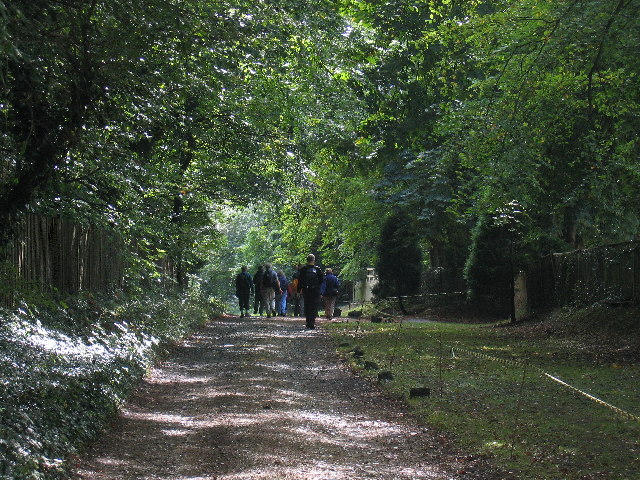
The wood is crisscrossed with a network of well-maintained footpaths, allowing visitors to explore its beauty at their leisure. These trails wind through the woodland, offering glimpses of ancient trees and glimpses of wildlife such as deer, foxes, and a variety of bird species. There are also several picnic areas and seating spots strategically placed throughout the wood, providing the perfect opportunity to relax and immerse oneself in the tranquil surroundings.
Rowtye Wood is managed by the local authorities with a focus on preserving its natural heritage and promoting sustainable woodland practices. This ensures that the wood remains a haven for wildlife and a delightful destination for visitors seeking solace in nature. Overall, Rowtye Wood in Surrey is a captivating woodland that offers a peaceful retreat from the bustling city life, providing a sanctuary for both wildlife and humans alike.
If you have any feedback on the listing, please let us know in the comments section below.
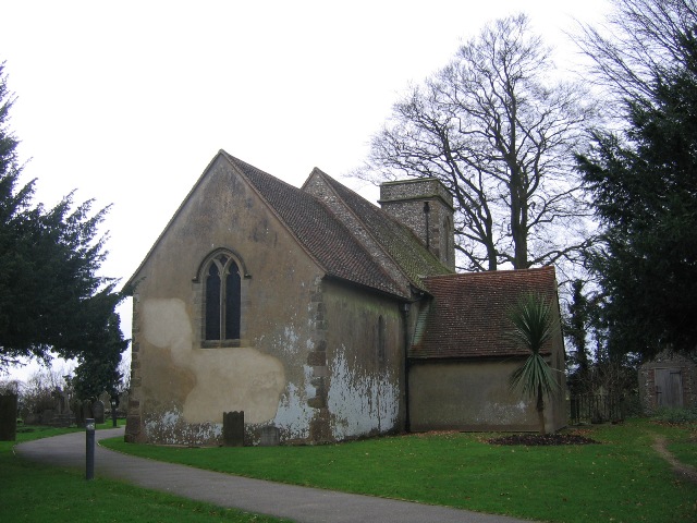
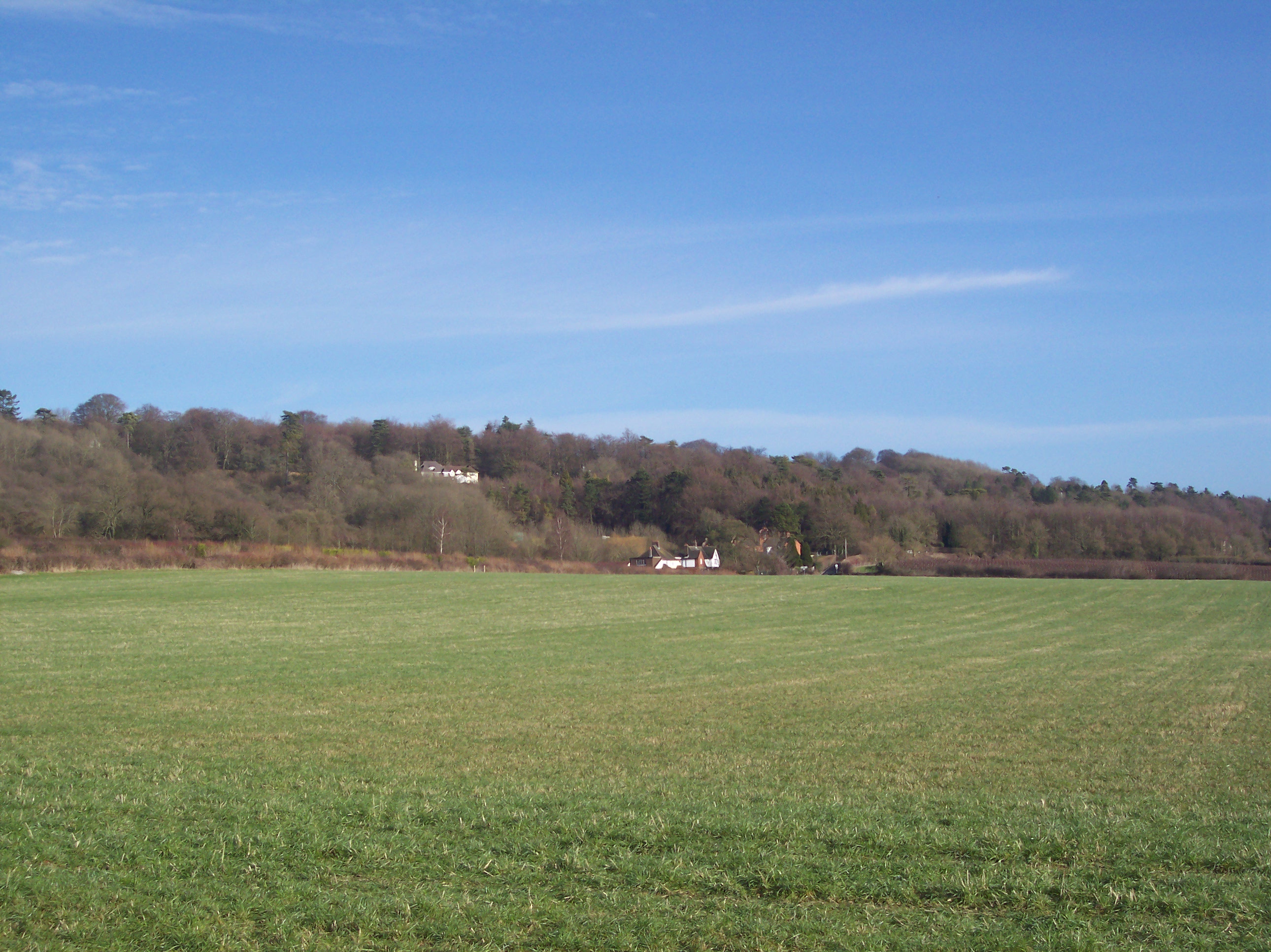
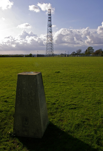
Rowtye Wood Images
Images are sourced within 2km of 51.278301/0.043238396 or Grid Reference TQ4255. Thanks to Geograph Open Source API. All images are credited.


Rowtye Wood is located at Grid Ref: TQ4255 (Lat: 51.278301, Lng: 0.043238396)
Administrative County: Surrey
District: Tandridge
Police Authority: Surrey
What 3 Words
///margin.windy.early. Near Westerham, Kent
Nearby Locations
Related Wikis

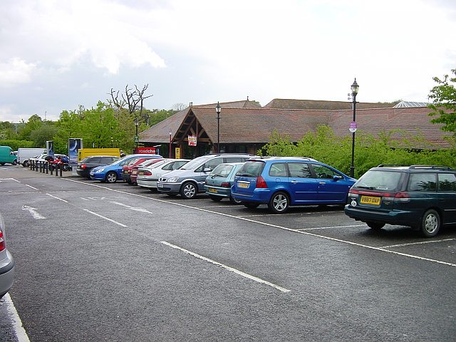
Clacket Lane services
Clacket Lane services is a motorway service station on the M25 motorway midway between junctions 5 and 6, in Surrey, United Kingdom, adjacent to the parish...

Westerham Wood
Westerham Wood is a 43.2 hectares (107 acres) biological Site of Special Scientific Interest north of Westerham in Kent.This ancient oak wood on Gault...
Betsom's Hill
Betsom's Hill is a hill on the North Downs, and the highest point in the county of Kent at 251 metres (823 ft). Situated between Westerham and Tatsfield...

Pilgrims' Way
The Pilgrims' Way (also Pilgrim's Way or Pilgrims Way) is the historical route supposedly taken by pilgrims from Winchester in Hampshire, England, to the...
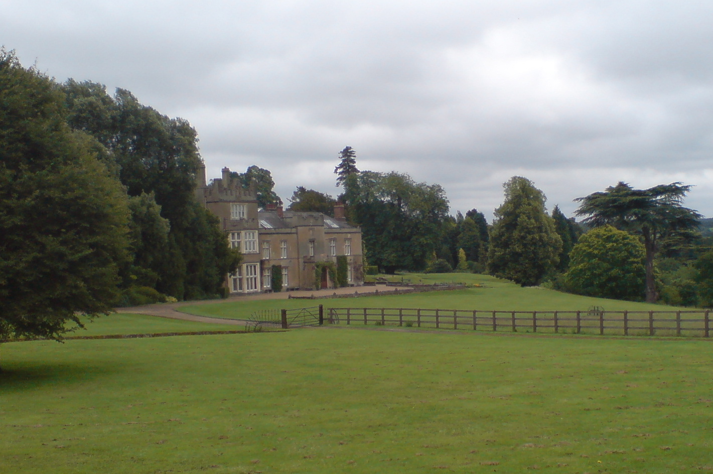
Titsey Place
Titsey Place is an English country house near Oxted in Surrey, England. It was successively the seat of the Gresham and Leveson-Gower families and is now...

Westerham
Westerham is a town and civil parish in the Sevenoaks District of Kent, England. It is located 3.4 miles east of Oxted and 6 miles west of Sevenoaks, adjacent...
Botley Hill
Botley Hill is a hill in Surrey and is the highest point of the North Downs, with a height of 269.6 metres (885 ft). The Prime Meridian crosses the hill...

South Street, Bromley
South Street is a hamlet in the far south of the London Borough of Bromley, 16.5 miles (27 km) south south-east from Charing Cross. It is the highest settlement...
Nearby Amenities
Located within 500m of 51.278301,0.043238396Have you been to Rowtye Wood?
Leave your review of Rowtye Wood below (or comments, questions and feedback).