Hill Park
Wood, Forest in Surrey Tandridge
England
Hill Park
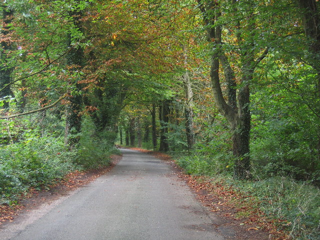
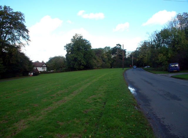
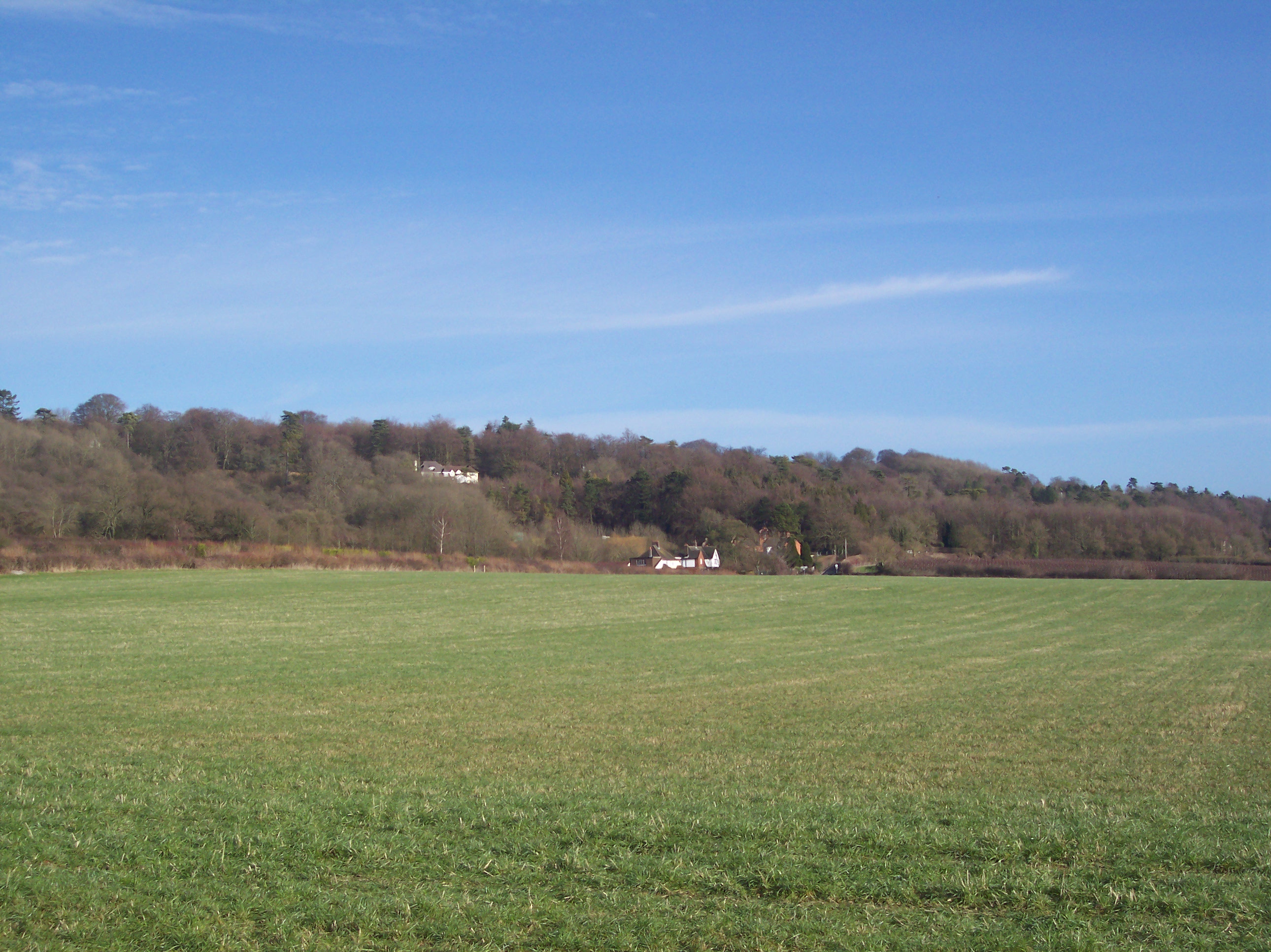
Hill Park, Surrey (Wood, Forest) is a picturesque woodland area located in the county of Surrey, England. Spanning across a vast area of approximately 200 acres, the park offers visitors a tranquil and serene escape from the hustle and bustle of everyday life.
The park is characterized by its dense forest cover, consisting primarily of various species of indigenous trees such as oak, beech, and birch. These trees create a lush green canopy, providing shade and shelter to numerous flora and fauna species that call the park home.
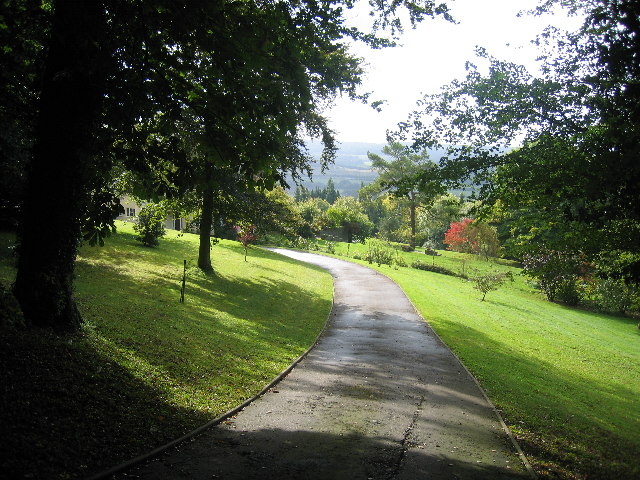
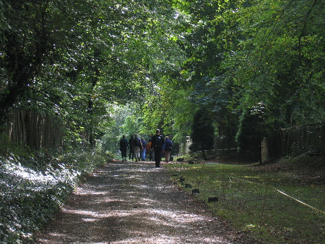
Hill Park is a haven for nature enthusiasts, offering a plethora of walking trails and paths that wind through the woodlands. These trails vary in difficulty, catering to both casual strollers and more avid hikers. Along these paths, visitors can admire the natural beauty of the area, encountering wildflowers, mushrooms, and wildlife such as deer, squirrels, and a variety of bird species.
The park is also home to several picnic areas, making it an ideal spot for families and friends to gather and enjoy a leisurely outdoor meal. Additionally, there are designated areas for children to play, including a playground with swings and slides.
Hill Park is open to the public year-round, with no admission fees. It is easily accessible by car or public transportation, making it a popular destination for locals and tourists alike. Whether one seeks a peaceful retreat or wishes to immerse themselves in nature, Hill Park, Surrey (Wood, Forest) offers a delightful experience for all who visit.
If you have any feedback on the listing, please let us know in the comments section below.
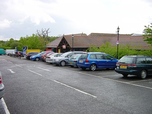
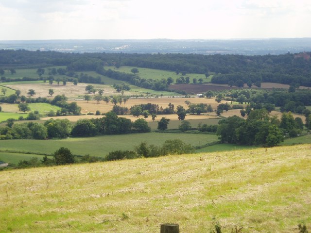
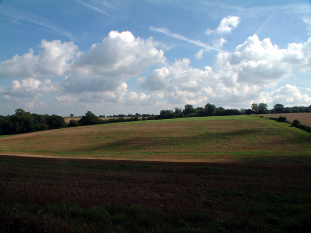
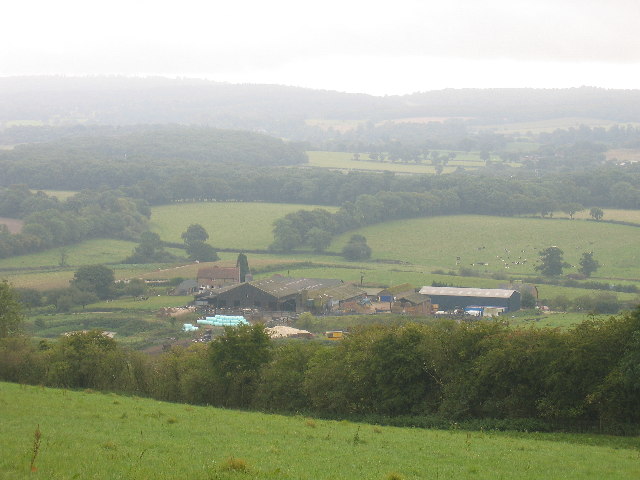
Hill Park Images
Images are sourced within 2km of 51.285214/0.03511282 or Grid Reference TQ4255. Thanks to Geograph Open Source API. All images are credited.


Hill Park is located at Grid Ref: TQ4255 (Lat: 51.285214, Lng: 0.03511282)
Administrative County: Surrey
District: Tandridge
Police Authority: Surrey
What 3 Words
///pinch.dozed.ladder. Near Biggin Hill, London
Nearby Locations
Related Wikis

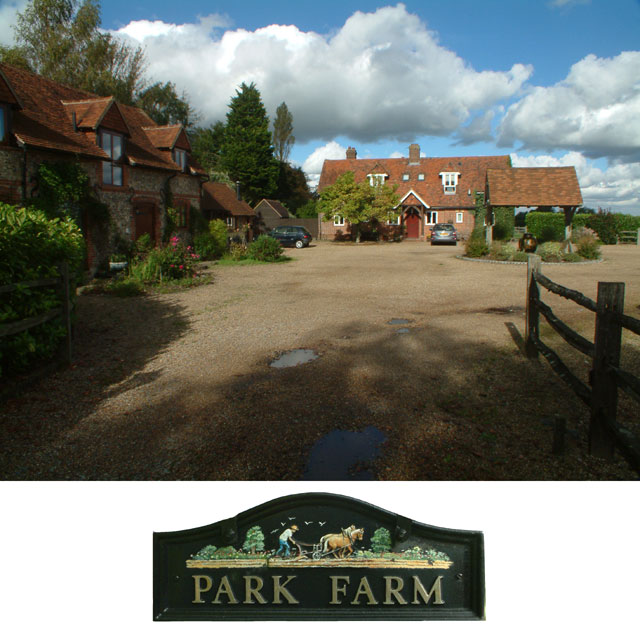
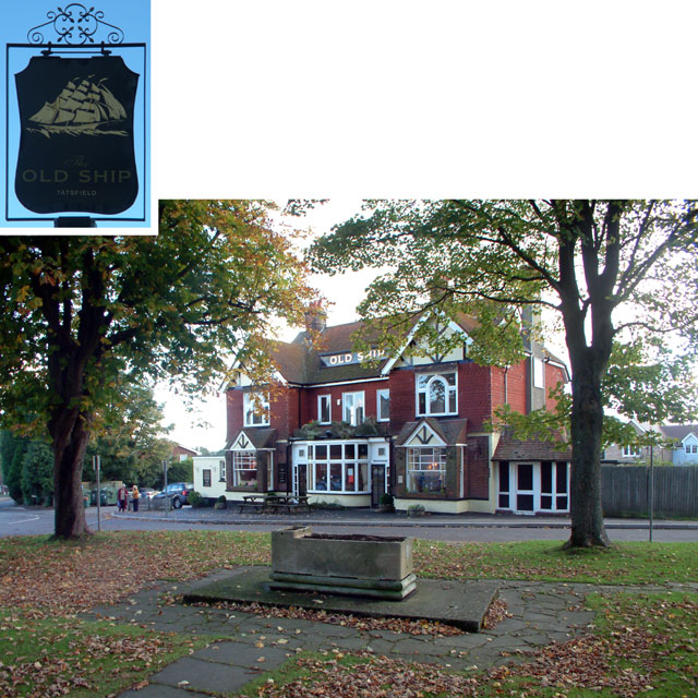
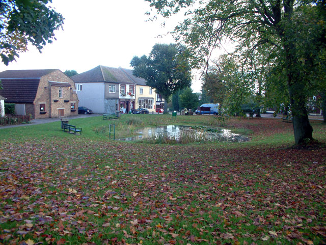
Tatsfield
Tatsfield is a village and civil parish in the Tandridge District of Surrey, England. It is located 3.3 miles north west of Westerham and 3.9 miles north...
Betsom's Hill
Betsom's Hill is a hill on the North Downs, and the highest point in the county of Kent at 251 metres (823 ft). Situated between Westerham and Tatsfield...

Clacket Lane services
Clacket Lane services is a motorway service station on the M25 motorway midway between junctions 5 and 6, in Surrey, United Kingdom, adjacent to the parish...
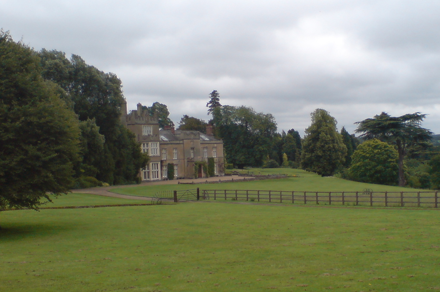
Titsey Place
Titsey Place is an English country house near Oxted in Surrey, England. It was successively the seat of the Gresham and Leveson-Gower families and is now...
Botley Hill
Botley Hill is a hill in Surrey and is the highest point of the North Downs, with a height of 269.6 metres (885 ft). The Prime Meridian crosses the hill...

South Street, Bromley
South Street is a hamlet in the far south of the London Borough of Bromley, 16.5 miles (27 km) south south-east from Charing Cross. It is the highest settlement...

Tatsfield Receiving Station
The Tatsfield Receiving Station – known formally as the BBC Engineering Measurement and Receiving Station – was a radio broadcasting signals-receiving...
Titsey
Titsey is a rural village and a civil parish on the North Downs almost wholly within the M25 London Orbital Motorway in the Tandridge District of Surrey...
Related Videos

Days Inn Sevenoaks Clacket Lane - Roadchef - Is It Really As Bad As People Say?
Would you stay here?

Shampan Lounge And Bar | Nikkah Event Vlog 2022 | Beautiful Event Place | London Entertainment |
Shampan Lounge And Bar Nikkah Event Vlog 2022 Beautiful Event Place London Entertainment.

Last Minute Days Inn Clacket Lane Hotel - Cheap and Cheerful - Would You Stay?
This was booked 20 mins before and cost £69.

Ippon seoi nage
Here we're using an ippon seoi nage (one arm shoulder throw), a technique found in a number of different martial arts and widely ...
Nearby Amenities
Located within 500m of 51.285214,0.03511282Have you been to Hill Park?
Leave your review of Hill Park below (or comments, questions and feedback).