The Grove
Wood, Forest in Essex
England
The Grove
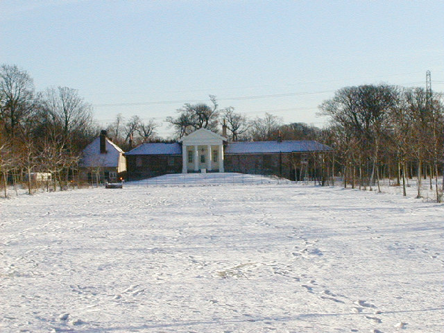
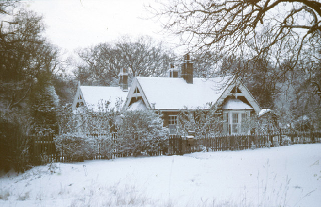
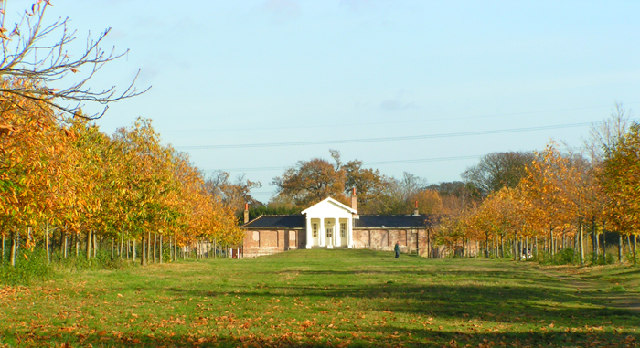
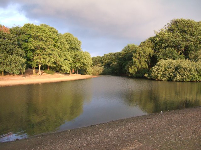
The Grove, Essex, also known as Wood or Forest, is a picturesque area located in the county of Essex, England. This region is renowned for its natural beauty, with an abundance of lush greenery, ancient woodlands, and diverse wildlife. The Grove is situated near the quaint village of Essex, and it covers a vast expanse of land, offering a tranquil and idyllic setting for visitors.
The area is characterized by its dense forests, comprising predominantly of oak, beech, and ash trees. These woodlands have a rich history, dating back centuries, and are home to a wide array of flora and fauna. The Grove is particularly famous for its ancient trees, some of which are believed to be over 500 years old, creating a majestic and awe-inspiring atmosphere.
The Grove is a haven for nature enthusiasts and outdoor adventurers. It boasts an extensive network of walking trails, providing ample opportunities for hiking, birdwatching, and wildlife spotting. The area is home to a diverse range of animals, including deer, foxes, badgers, and various bird species, making it a paradise for wildlife lovers.
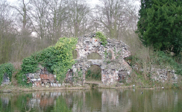
Aside from its natural beauty, The Grove also offers visitors a glimpse into its rich cultural heritage. There are several historic landmarks scattered throughout the area, such as ancient ruins, medieval churches, and archaeological sites, providing a fascinating insight into the region's past.
Overall, The Grove, Essex (Wood, Forest) is a captivating destination that combines natural beauty, rich history, and abundant wildlife. Whether you are seeking tranquility in nature or interested in exploring the region's cultural heritage, The Grove has something to offer for everyone.
If you have any feedback on the listing, please let us know in the comments section below.
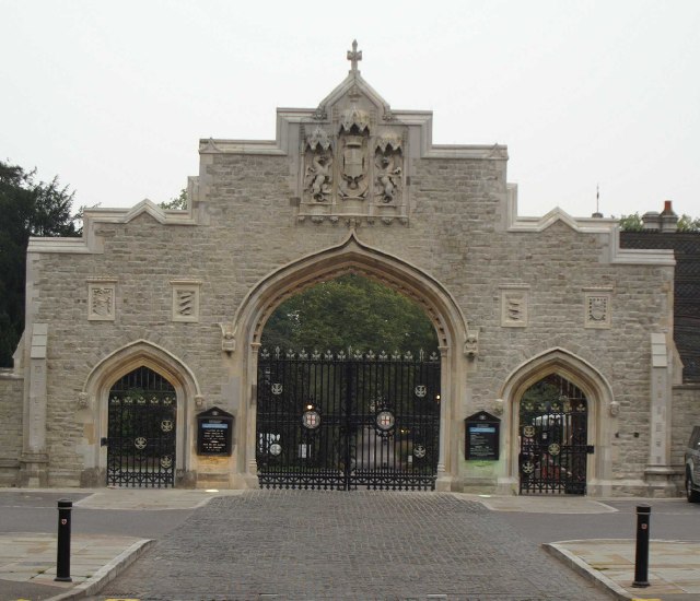
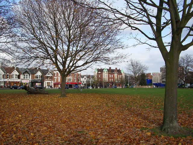
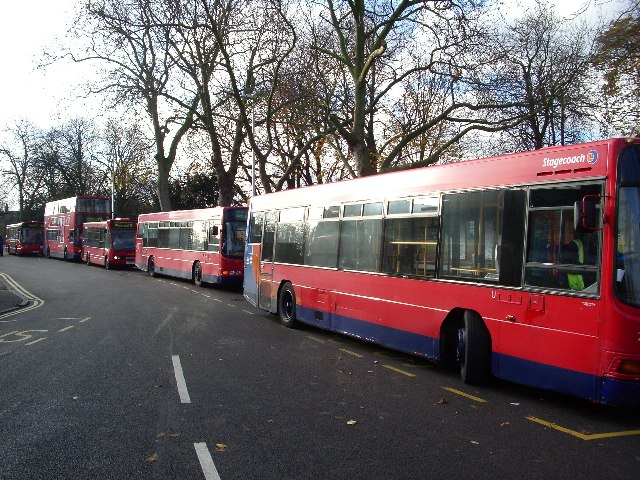
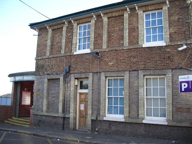
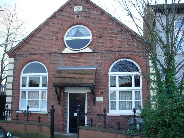
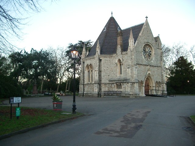
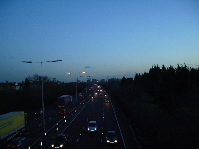
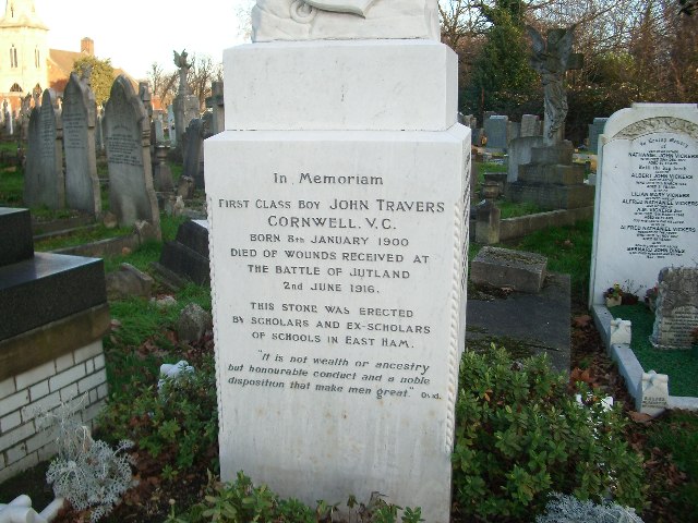
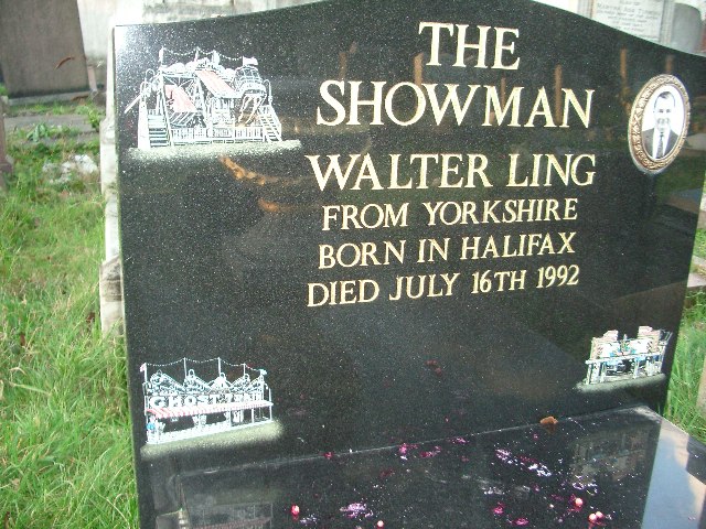
The Grove Images
Images are sourced within 2km of 51.568116/0.039958855 or Grid Reference TQ4187. Thanks to Geograph Open Source API. All images are credited.


The Grove is located at Grid Ref: TQ4187 (Lat: 51.568116, Lng: 0.039958855)
Unitary Authority: Redbridge
Police Authority: Metropolitan
What 3 Words
///behave.factories.gossip. Near Ilford, London
Nearby Locations
Related Wikis
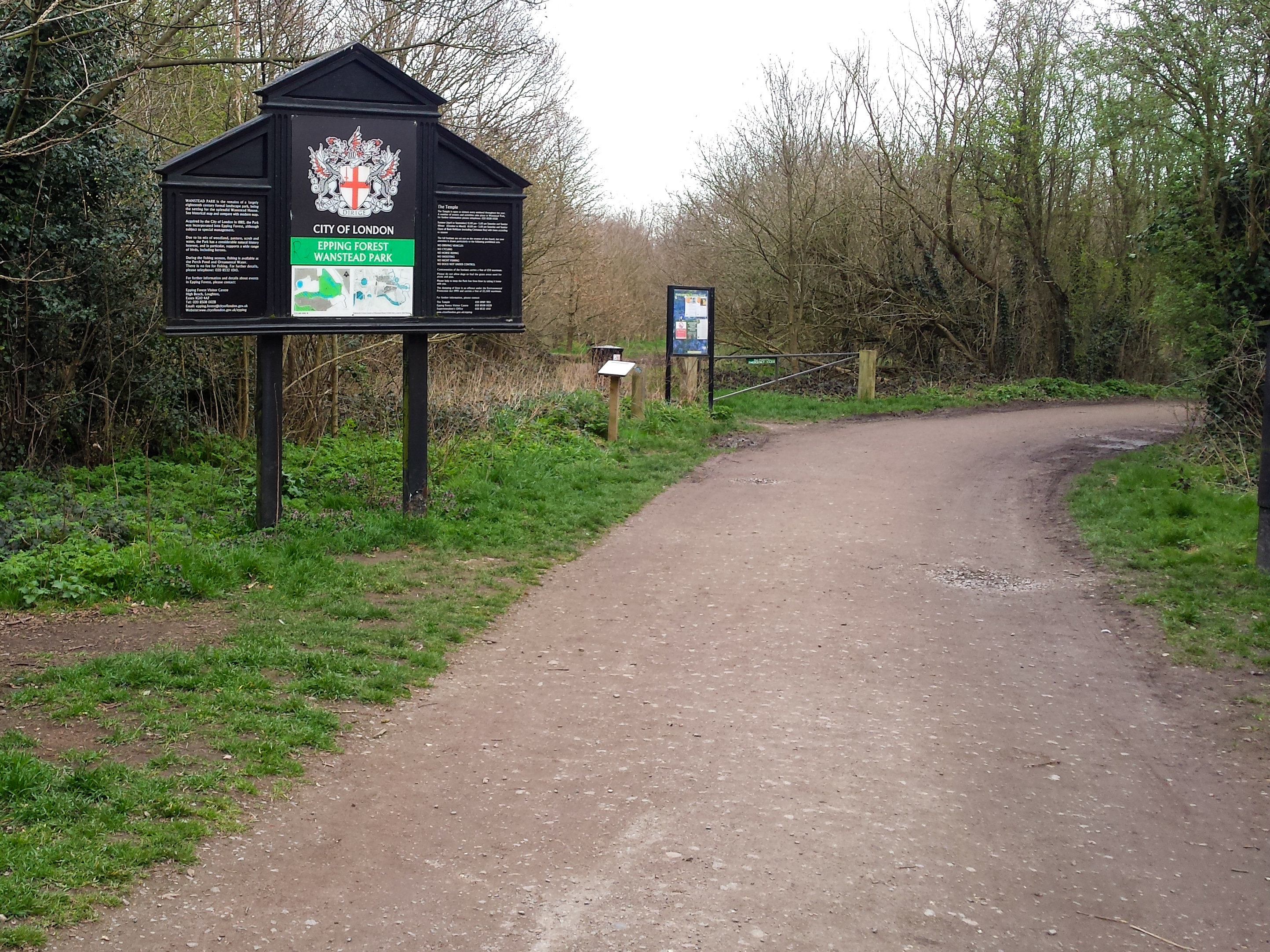
Wanstead Park
Wanstead Park is a municipal park covering an area of about 140 acres (57 hectares), in Wanstead, in the London Borough of Redbridge. It is also a district...

Wanstead Roman Villa
Wanstead Roman Villa was a Roman villa on an unknown site in what is now Wanstead Park. Archaeological excavations carried out in 1985 indicated a Roman...
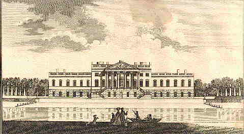
Wanstead House
Wanstead House was a mansion built to replace the earlier Wanstead Hall. It was commissioned in 1715, completed in 1722 and demolished in 1825. Its gardens...
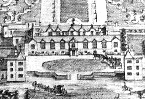
Wanstead Hall
Wanstead Hall was the manor house for the Manor of Wanstead, now in the London Borough of Redbridge but historically in the county of Essex. It was later...

Aldersbrook Estate
The Aldersbrook Estate is the name given to an Edwardian housing estate in Aldersbrook, Wanstead, in the London Borough of Redbridge. The built-up area...

St Mary the Virgin, Wanstead
St Mary the Virgin, Wanstead is a Church of England church in Wanstead, east London. It is located on Overton Drive and now shares its parish with Christ...

Aldersbrook
Aldersbrook (also known as Aldersbrook Estate), is an Edwardian housing estate in Wanstead, East London. It is named after the medieval Manor of Aldersbrook...
Aldersbrook Baptist Church
Aldersbrook Baptist Church is a Baptist church in the Aldersbrook area of Wanstead in the London Borough of Redbridge. It was formally constituted in 1906...
Nearby Amenities
Located within 500m of 51.568116,0.039958855Have you been to The Grove?
Leave your review of The Grove below (or comments, questions and feedback).