Paynesfield Coppice

Wood, Forest in Surrey Tandridge

England

Paynesfield Coppice

Beddlestead House (former Beddlestead Farm), Chelsham, CR6 A grade II* listed building. The nearby barn is also listed.
Beddlestead House (former Beddlestead Farm), Chelsham, CR6 Credit: Philip Talmage

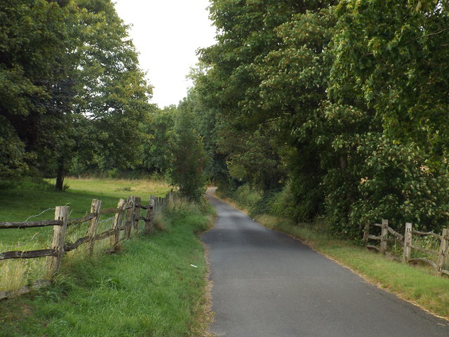
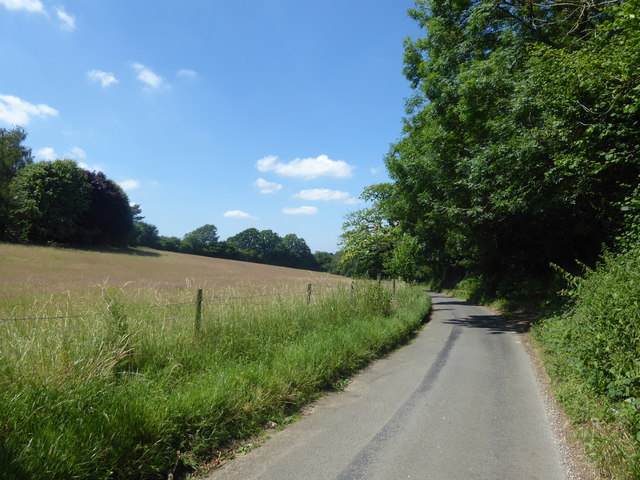
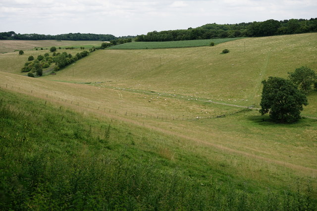
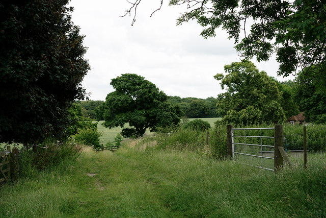
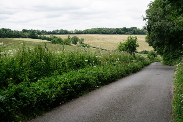
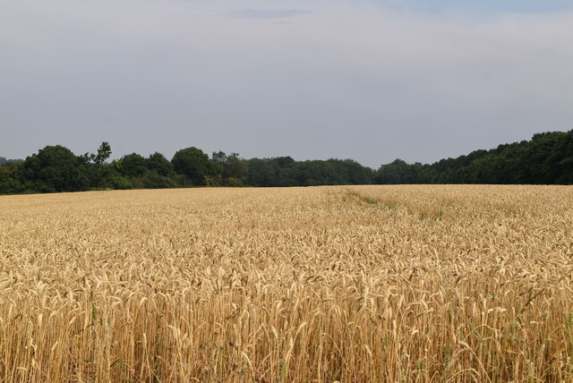
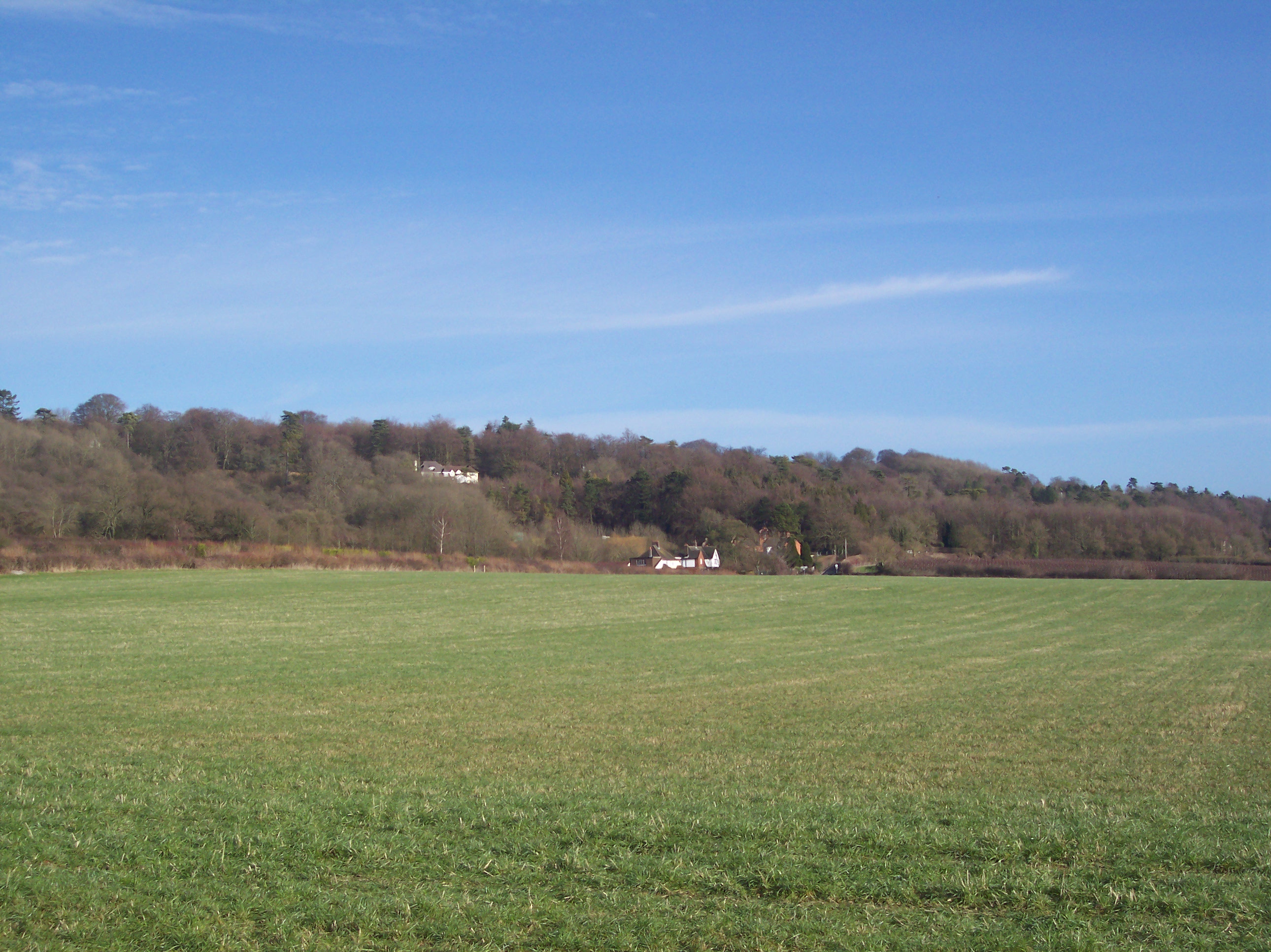
Paynesfield Coppice, located in Surrey, England, is a picturesque woodland area that covers an approximate area of 50 acres. This serene forest is a part of the Surrey Hills Area of Outstanding Natural Beauty, renowned for its stunning landscapes and diverse flora and fauna.

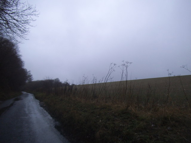
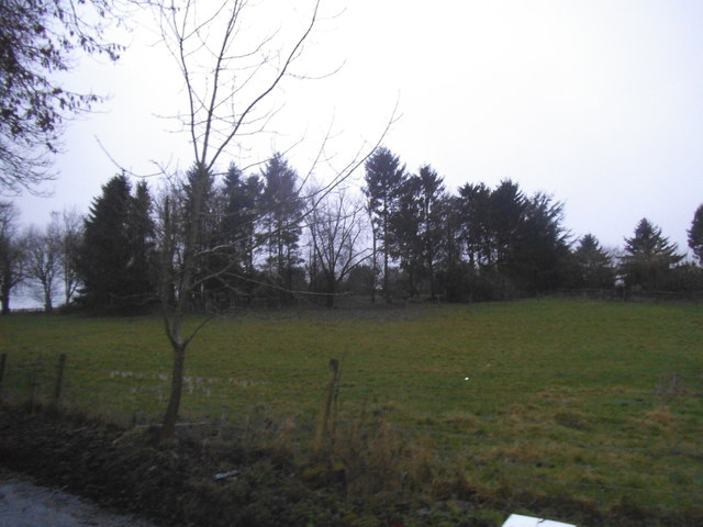
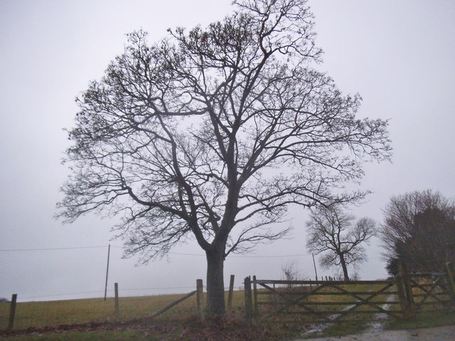
The woodland is predominantly composed of broadleaf trees, including oak, beech, and birch, which create a dense and vibrant canopy. These trees offer a sanctuary for a wide range of wildlife species, such as deer, foxes, badgers, and numerous bird species. The rich biodiversity of Paynesfield Coppice makes it a popular destination for nature enthusiasts and birdwatchers.

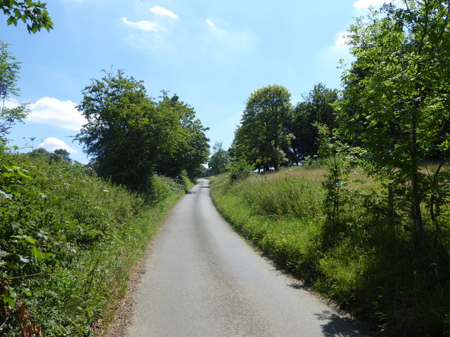
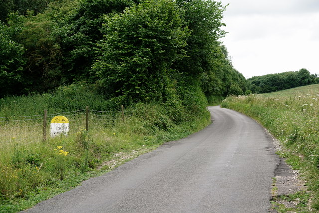
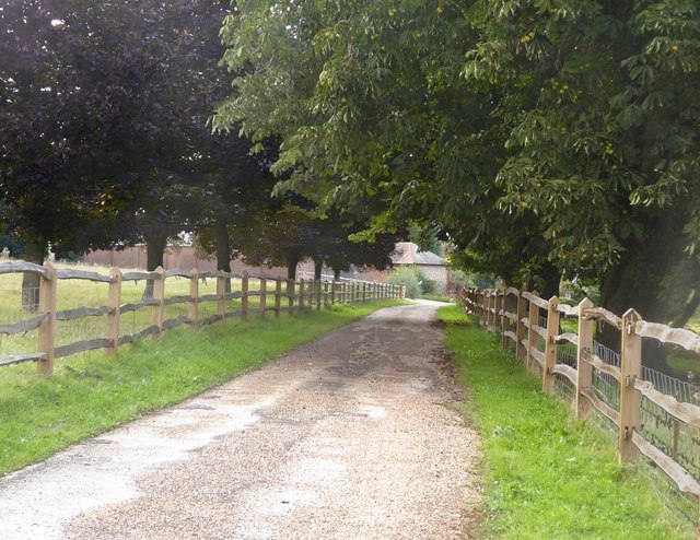
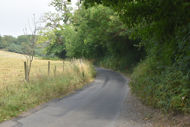
Visitors to the forest can explore the numerous walking trails that meander through the woodland, offering a tranquil and immersive experience. The well-maintained paths wind through the trees, providing opportunities for leisurely strolls, jogging, or even cycling. Along the way, one can encounter enchanting wildflowers, ferns, and mosses that thrive in the dappled sunlight.

Paynesfield Coppice also boasts a small stream that gently trickles through the forest, adding to the peaceful ambiance. This stream serves as a water source for the surrounding flora and creates a soothing soundtrack for those seeking relaxation.

The forest is managed by the local authorities, who ensure its conservation and protection. They undertake periodic maintenance to preserve the natural balance and prevent encroachment on the woodland's delicate ecosystem. As a result, Paynesfield Coppice has retained its authentic charm and remains a cherished natural gem in Surrey's landscape.

Overall, Paynesfield Coppice offers visitors a chance to escape the hustle and bustle of everyday life, immersing themselves in the beauty of nature and enjoying a tranquil and rejuvenating experience.

If you have any feedback on the listing, please let us know in the comments section below.

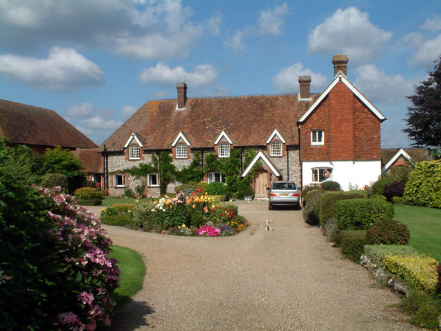
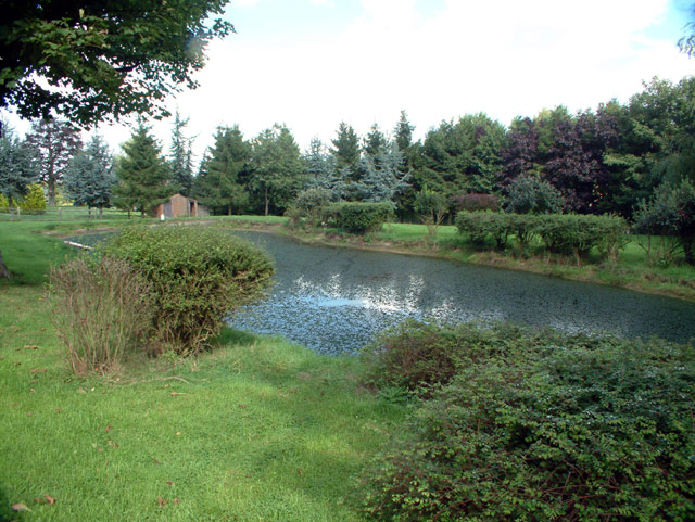
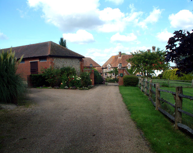
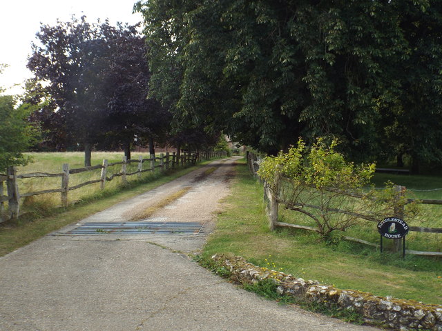
Paynesfield Coppice Images

Images are sourced within 2km of 51.298657/0.027961027 or Grid Reference TQ4157. Thanks to Geograph Open Source API. All images are credited.

Beddlestead House (former Beddlestead Farm), Chelsham, CR6 A grade II* listed building. The nearby barn is also listed.
Beddlestead House (former Beddlestead Farm), Chelsham, CR6
A grade II* listed building. The nearby barn is also listed.
Pond at Beddlestead House, Beddlestead Lane, Chelsham CR6
Barn at Beddlestead House, Chelsham, CR6 The barn (on the left) is grade II listed, and the house is grade II*.
Barn at Beddlestead House, Chelsham, CR6
The barn (on the left) is grade II listed, and the house is grade II*.
Driveway near Biggin Hill This private driveway leads to Beddlestead House, on the North Downs.
Driveway near Biggin Hill
This private driveway leads to Beddlestead House, on the North Downs.
Beddlestead Lane, near Biggin Hill Beddlestead Lane, high up on the North Downs.
Beddlestead Lane, near Biggin Hill
Beddlestead Lane, high up on the North Downs.
Field by Beddlestead Road near Biggin Hill
Copse by Beddlestead Lane, near Biggin Hill
Tree on Beddlestead Lane, Biggin Hill
Beddlestead Lane This is the view north from where the track known as Norheads Lane comes down from Biggin Hill. Beddlestead House is just up the hill to the left.
Beddlestead Lane
This is the view north from where the track known as Norheads Lane comes down from Biggin Hill. Beddlestead House is just up the hill to the left.
Beddlestead Lane This is the view north from where the track known as Norheads Lane comes down from Biggin Hill. Beddlestead House is just up the hill to the right.
Beddlestead Lane
This is the view north from where the track known as Norheads Lane comes down from Biggin Hill. Beddlestead House is just up the hill to the right.
Beddlestead Lane On the outskirts of Chelsham.

Now also known as Col du Skelly, following the placement of a memorial to cyclist Paul Skelly in 2016.

<a href="https://www.geograph.org.uk/photo/5456933">TQ3958 : Memorial to Paul Skelly</a>
<a href="https://www.geograph.org.uk/photo/5456941">TQ3958 : Memorial to Paul Skelly</a>
Beddlestead Lane
On the outskirts of Chelsham. Now also known as Col du Skelly, following the placement of a memorial to cyclist Paul Skelly in 2016. TQ3958 : Memorial to Paul Skelly TQ3958 : Memorial to Paul Skelly
Valley Near Tatsfield The path, to Beddlestead Lane, heads up the distant hillside, before turning right and passing south of the farm.
Valley Near Tatsfield
The path, to Beddlestead Lane, heads up the distant hillside, before turning right and passing south of the farm.
Track at Beddlestead House The farmhouse and outbuildings lie to the left of this location. The public footpath runs from left to right, directly behind the photographer.
Track at Beddlestead House
The farmhouse and outbuildings lie to the left of this location. The public footpath runs from left to right, directly behind the photographer.
Beddlestead Lane Looking in the direction of Chelsham.
Beddlestead Lane
Looking in the direction of Chelsham.
Track leading to Beddlestead House The house is shown on older maps as Beddlestead Farm.
Track leading to Beddlestead House
The house is shown on older maps as Beddlestead Farm.
Forge Cottage
Forge Cottage
Extensive wheat field The North Downs are a ridge of chalk hills in south east England that stretch for 120 miles (190 km) from Farnham in Surrey to the White Cliffs of Dover in Kent. The North Downs lie within two Areas of Outstanding Natural Beauty (AONBs), the Surrey Hills and the Kent Downs. The North Downs Way National Trail runs along the North Downs from Farnham to Dover.

At its highest point, Botley Hill in Surrey is 882ft above sea level.

Extract from Wikipedia  <span class="nowrap"><a title="http://en.wikipedia.org/wiki/North_Downs" rel="nofollow ugc noopener" href="http://en.wikipedia.org/wiki/North_Downs">Link</a><img style="margin-left:2px;" alt="External link" title="External link - shift click to open in new window" src="https://s1.geograph.org.uk/img/external.png" width="10" height="10"/></span>
Extensive wheat field
The North Downs are a ridge of chalk hills in south east England that stretch for 120 miles (190 km) from Farnham in Surrey to the White Cliffs of Dover in Kent. The North Downs lie within two Areas of Outstanding Natural Beauty (AONBs), the Surrey Hills and the Kent Downs. The North Downs Way National Trail runs along the North Downs from Farnham to Dover. At its highest point, Botley Hill in Surrey is 882ft above sea level. Extract from Wikipedia LinkExternal link
Beddlestead Lane
Beddlestead Lane
Show me another place!

Paynesfield Coppice is located at Grid Ref: TQ4157 (Lat: 51.298657, Lng: 0.027961027)

Administrative County: Surrey

District: Tandridge

Police Authority: Surrey

What 3 Words

///vocal.boil.cowboy. Near Biggin Hill, London

Related Wikis

Tatsfield

Tatsfield is a village and civil parish in the Tandridge District of Surrey, England. It is located 3.3 miles north west of Westerham and 3.9 miles north...

Aperfield

Aperfield is a hamlet and area in London, England, within the London Borough of Bromley, 16.2 miles (26 km) south-southeast of Charing Cross, and outside...

Tatsfield Receiving Station

The Tatsfield Receiving Station – known formally as the BBC Engineering Measurement and Receiving Station – was a radio broadcasting signals-receiving...

Biggin Hill

Biggin Hill is a town in South East London, England, within the London Borough of Bromley. It is situated beyond London's contiguous built-up area in the...

South Street, Bromley

South Street is a hamlet in the far south of the London Borough of Bromley, 16.5 miles (27 km) south south-east from Charing Cross. It is the highest settlement...

Charles Darwin School

Charles Darwin School is the only secondary school in the Biggin Hill area of the London Borough of Bromley, England. The school consists of 1,320 secondary...

Betsom's Hill

Betsom's Hill is a hill on the North Downs, and the highest point in the county of Kent at 251 metres (823 ft). Situated between Westerham and Tatsfield...

Titsey

Titsey is a rural village and a civil parish on the North Downs almost wholly within the M25 London Orbital Motorway in the Tandridge District of Surrey...

Related Videos

Walking Biggin Hill, Downe & Cudham | Downe House - Charles Darwin | Norman Church | Weekend Walks

Hola Amigos, I always seem to go for a walk far from my house, this time I decided to show you some of my local stomping ground.

Biggin Hill Circular Walk | Walking in London Borough of Bromley | 7 Miles | Hiking

Hola Amigos! Being stuck indoors and not being able to travel during this lockdown, I decided to see what was on offer on my ...

Gorgeous Late Afternoon Winter Walk in Biggin Hill. GoPro Hero 12 Black 4K

gopro #hiking #bigginhill Just a really nice walk in the hills around Biggin Hill on a gorgeous winter afternoon with the sun ...

Dog walking with Lucky and Bernie in "Cool Running"

Another adventure in Dog walks. This time it got a bit cold for me, we had sleet snow and rain! They don't mind the cold, they also ...

Nearby Amenities

Located within 500m of 51.298657,0.027961027
Left County: Surrey
Right County: Greater London
Lat/Long: 51.299302/0.0232417
Left County: Surrey
Right County: Greater London
Lat/Long: 51.2971315/0.0213759
Tatsfield
Is In: Surrey, England
Place: village
Lat/Long: 51.2954522/0.0260163
Barrier: stile
Lat/Long: 51.2970717/0.0228925
Barrier: kissing_gate
Lat/Long: 51.2976111/0.0337341
Barrier: stile
Lat/Long: 51.2984025/0.0224091
Barrier: stile
Lat/Long: 51.2985032/0.0224148
Post Box
Brand: Royal Mail
Brand Wikidata: Q638098
Collection Times: Mo-Fr 09:00; Sa 07:00; Su off
Colour: Red
Operator: Royal Mail
Operator Wikidata: Q638098
Ref: TN16 154
Royal Cypher: EIIR
Royal Cypher Wikidata: Q33102113
Lat/Long: 51.2987359/0.0299639
The data included in this document is from www.openstreetmap.org. The data is made available under ODbL.

Have you been to Paynesfield Coppice?

Leave your review of Paynesfield Coppice below (or comments, questions and feedback).