Isle Shaw
Wood, Forest in Surrey Tandridge
England
Isle Shaw
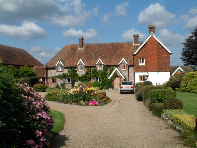
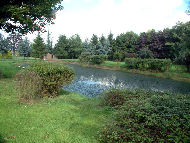
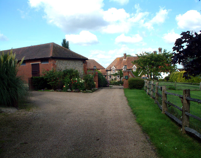
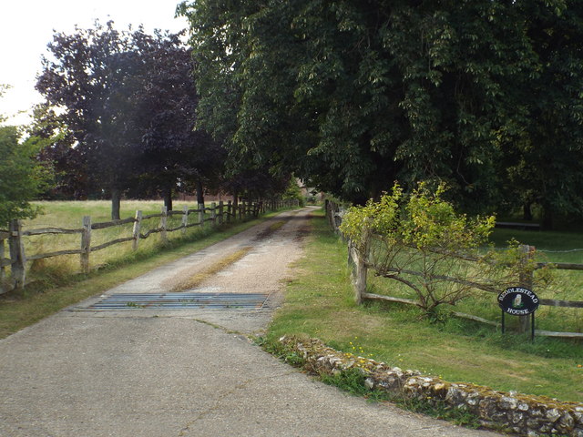
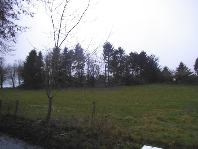
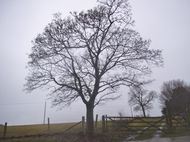
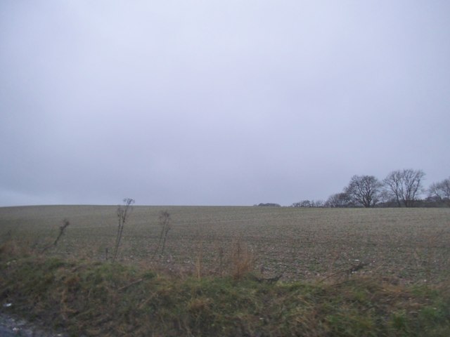
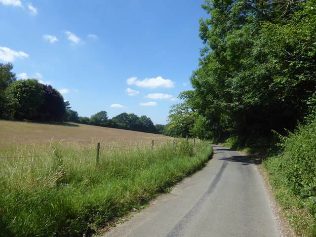
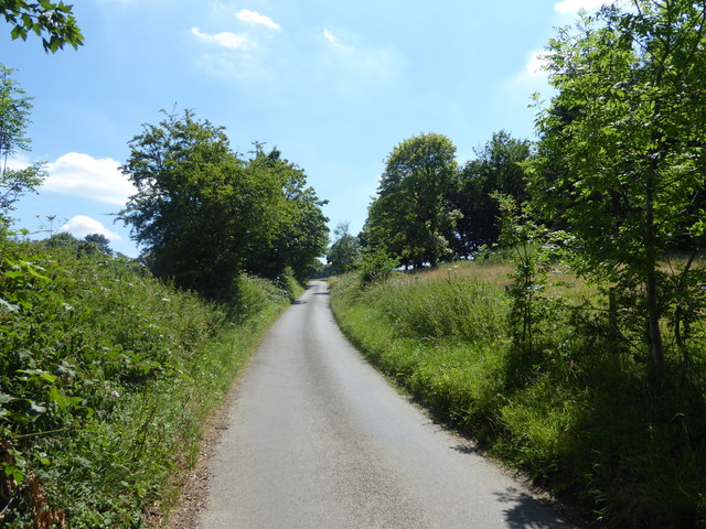
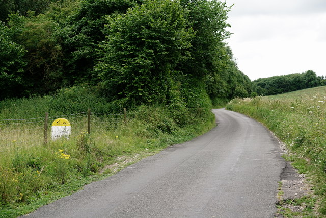
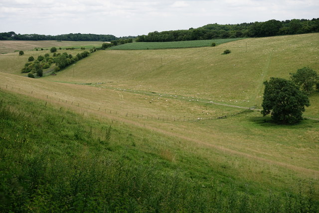
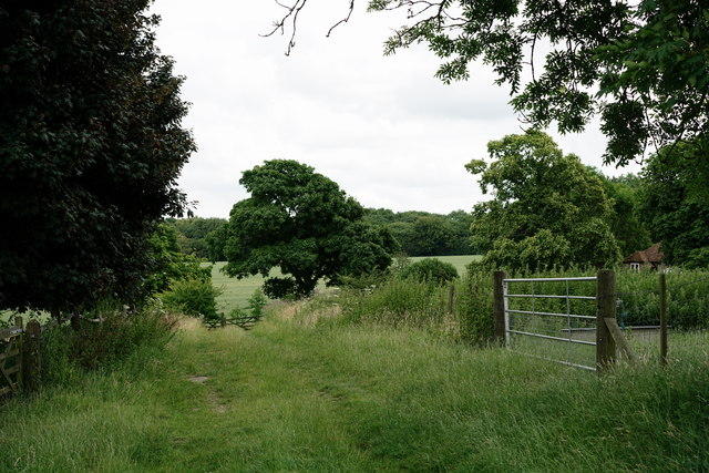
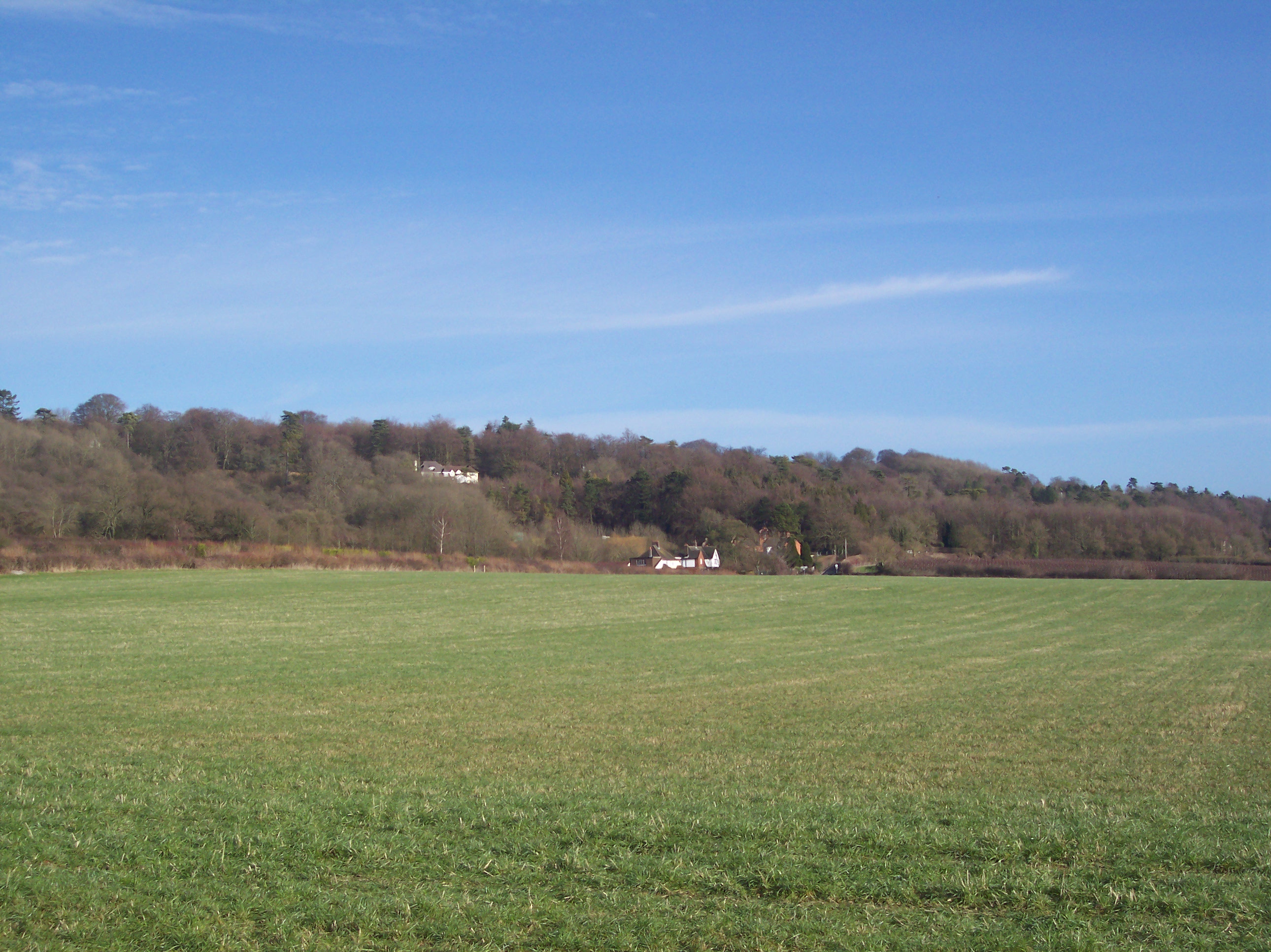
Isle Shaw is a picturesque woodland located in Surrey, England. It is nestled in the heart of Surrey Hills Area of Outstanding Natural Beauty, making it a popular destination for nature enthusiasts and outdoor adventurers. Covering an area of approximately 50 acres, Isle Shaw boasts a diverse range of trees, plants, and wildlife, making it an idyllic location for those seeking tranquility and a connection with nature.
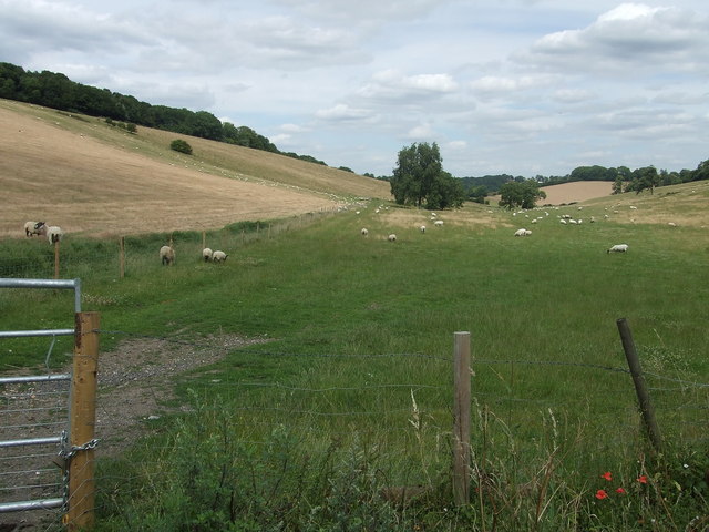
The woodland is primarily composed of native broadleaf trees such as oak, beech, and birch, which provide a rich habitat for various species of birds, mammals, and insects. Visitors can expect to encounter a plethora of wildlife, including deer, foxes, rabbits, and a variety of bird species, making it a haven for wildlife enthusiasts and birdwatchers.
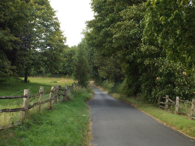
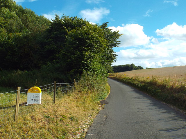
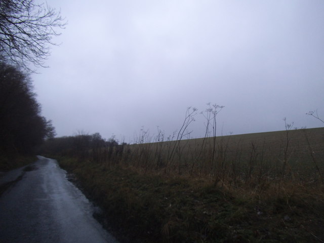
The woodland offers a network of well-maintained walking trails, allowing visitors to explore its scenic beauty at their own pace. These trails meander through the woods, offering breathtaking views of the surrounding landscape and allowing visitors to fully immerse themselves in the natural environment.
Isle Shaw is also home to a small stream, which adds to the charm and serenity of the woodland. The gentle sound of running water creates a soothing ambiance, further enhancing the overall experience of being in the woods.
Whether it's for a leisurely stroll, a picnic, or simply to escape the hustle and bustle of daily life, Isle Shaw in Surrey is a nature lover's paradise. Its enchanting beauty and peaceful atmosphere make it a perfect destination for individuals of all ages to reconnect with nature and enjoy the tranquility of the Surrey countryside.
If you have any feedback on the listing, please let us know in the comments section below.
Isle Shaw Images
Images are sourced within 2km of 51.301155/0.028056803 or Grid Reference TQ4157. Thanks to Geograph Open Source API. All images are credited.
Isle Shaw is located at Grid Ref: TQ4157 (Lat: 51.301155, Lng: 0.028056803)
Administrative County: Surrey
District: Tandridge
Police Authority: Surrey
What 3 Words
///frogs.twin.ship. Near Biggin Hill, London
Nearby Locations
Related Wikis

Tatsfield
Tatsfield is a village and civil parish in the Tandridge District of Surrey, England. It is located 3.3 miles north west of Westerham and 3.9 miles north...

Aperfield
Aperfield is a hamlet and area in London, England, within the London Borough of Bromley, 16.2 miles (26 km) south-southeast of Charing Cross, and outside...

Biggin Hill
Biggin Hill is a town in South East London, England, within the London Borough of Bromley. It is situated beyond London's contiguous built-up area in the...

South Street, Bromley
South Street is a hamlet in the far south of the London Borough of Bromley, 16.5 miles (27 km) south south-east from Charing Cross. It is the highest settlement...

Tatsfield Receiving Station
The Tatsfield Receiving Station – known formally as the BBC Engineering Measurement and Receiving Station – was a radio broadcasting signals-receiving...

Charles Darwin School
Charles Darwin School is the only secondary school in the Biggin Hill area of the London Borough of Bromley, England. The school consists of 1,320 secondary...
Betsom's Hill
Betsom's Hill is a hill on the North Downs, and the highest point in the county of Kent at 251 metres (823 ft). Situated between Westerham and Tatsfield...

Old Jail, Biggin Hill
The Old Jail was a pub in Jail Lane, Biggin Hill, Westerham, Kent, in the London Borough of Bromley. At this time of writing, (February 2023), it is permanently...
Nearby Amenities
Located within 500m of 51.301155,0.028056803Have you been to Isle Shaw?
Leave your review of Isle Shaw below (or comments, questions and feedback).