Heronry Pond
Lake, Pool, Pond, Freshwater Marsh in Essex
England
Heronry Pond
Heronry Pond, located in Essex, England, is a picturesque freshwater marsh and a haven for various species of wildlife. Spanning an area of approximately 10 acres, this tranquil body of water is nestled within a lush green landscape, encompassed by dense woodlands and vibrant meadows.
The pond itself is characterized by its calm and still waters, reflecting the surrounding natural beauty. It serves as a vital habitat for a diverse range of aquatic flora and fauna, supporting a delicate ecosystem. The water is typically clear and unpolluted, providing an ideal environment for the numerous species that call it home.
As its name suggests, Heronry Pond is particularly renowned for its population of herons. These majestic birds, with their long legs and distinctive plumage, can often be spotted gracefully wading through the shallows or perched on nearby branches, patiently waiting for their next meal. The pond serves as a vital breeding ground for these magnificent creatures, attracting nesting pairs during the breeding season.
Apart from herons, the pond attracts a wealth of other bird species, such as ducks, geese, and various waterfowl. The surrounding woodlands are also teeming with life, providing a habitat for woodland birds, small mammals, and insects.
Heronry Pond is a popular destination for nature enthusiasts, offering opportunities for birdwatching, photography, and peaceful walks along its tranquil shores. It provides a serene escape from the hustle and bustle of urban life, allowing visitors to immerse themselves in the wonders of the natural world.
If you have any feedback on the listing, please let us know in the comments section below.
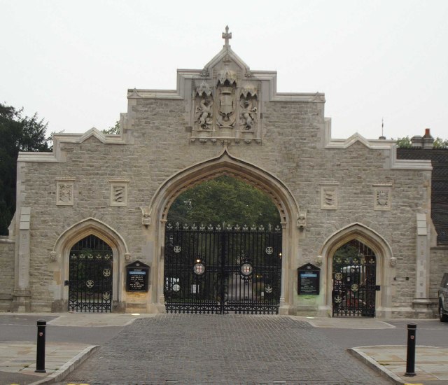
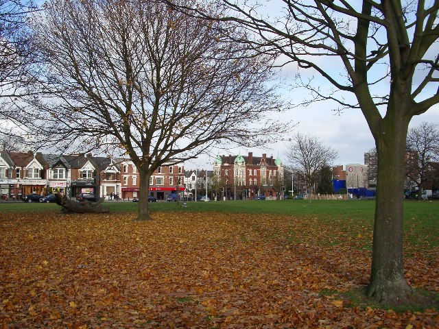
Heronry Pond Images
Images are sourced within 2km of 51.566094/0.036304319 or Grid Reference TQ4187. Thanks to Geograph Open Source API. All images are credited.


Heronry Pond is located at Grid Ref: TQ4187 (Lat: 51.566094, Lng: 0.036304319)
Unitary Authority: Redbridge
Police Authority: Metropolitan
What 3 Words
///forget.change.puzzle. Near Ilford, London
Nearby Locations
Related Wikis

Wanstead Roman Villa
Wanstead Roman Villa was a Roman villa on an unknown site in what is now Wanstead Park. Archaeological excavations carried out in 1985 indicated a Roman...

Aldersbrook
Aldersbrook (also known as Aldersbrook Estate), is an Edwardian housing estate in Wanstead, East London. It is named after the medieval Manor of Aldersbrook...
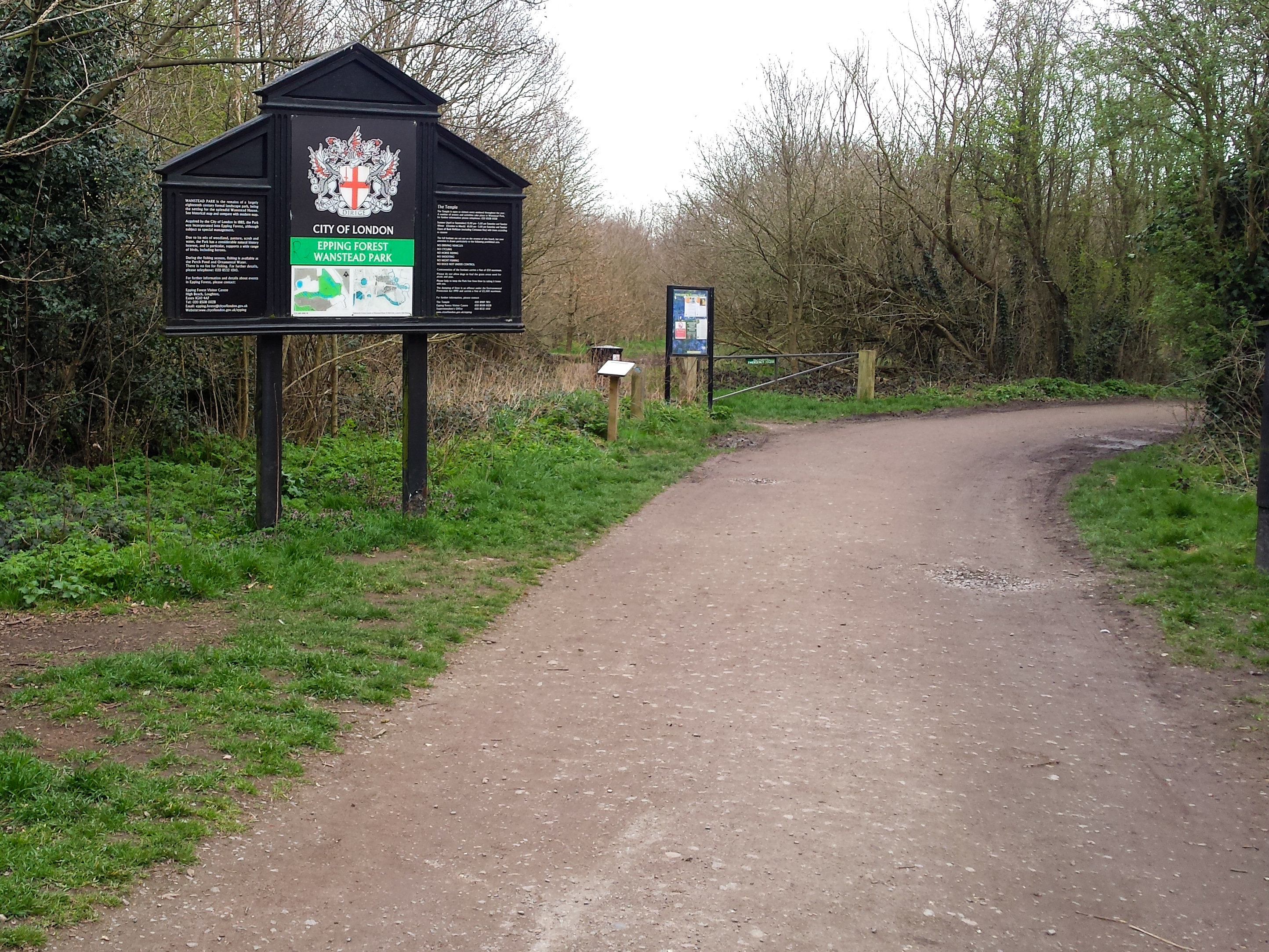
Wanstead Park
Wanstead Park is a municipal park covering an area of about 140 acres (57 hectares), in Wanstead, in the London Borough of Redbridge. It is also a district...

Aldersbrook Estate
The Aldersbrook Estate is the name given to an Edwardian housing estate in Aldersbrook, Wanstead, in the London Borough of Redbridge. The built-up area...

St Gabriel's Church, Aldersbrook
St Gabriel's Church is a Church of England parish church in the Aldersbrook estate area of Wanstead in the London Borough of Redbridge, dedicated to the...
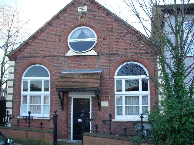
Aldersbrook Baptist Church
Aldersbrook Baptist Church is a Baptist church in the Aldersbrook area of Wanstead in the London Borough of Redbridge. It was formally constituted in 1906...
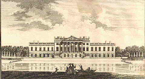
Wanstead House
Wanstead House was a mansion built to replace the earlier Wanstead Hall. It was commissioned in 1715, completed in 1722 and demolished in 1825. Its gardens...
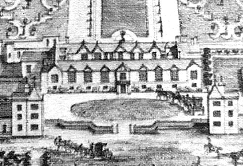
Wanstead Hall
Wanstead Hall was the manor house for the Manor of Wanstead, now in the London Borough of Redbridge but historically in the county of Essex. It was later...
Related Videos

Walking in the rain up Wanstead High Street to South Woodford
Today's walk is up Wanstead high street to George Lane South Woodford in the rain on a wet winters day. Thanks for watching ...

Wanstead Park walk | 🇬🇧 Hiking in London, Epping Forest, | 🇬🇧 Hiking UK | England| 4K
Leafy stroll in the Borough of Redbridge through the Grade II* listed historic landscaped parkland of Wanstead Park, once home to ...

Epping Forest: 4K Walkthrough for Beginners! | Day Hike Sunday | 🇬🇧 Hiking in the UK
Enjoy Epping Forest on this 9 km trail with some slight inclination on the way but definitely worth the adventure. Distance: 9 km ...
Walking Wanstead Park a suburb of East London
Wanstead Park is on the fringes of Epping Forest in East London. Today's walk is around the park on a sunny Autumn day. Thanks ...
Nearby Amenities
Located within 500m of 51.566094,0.036304319Have you been to Heronry Pond?
Leave your review of Heronry Pond below (or comments, questions and feedback).