Aston

Settlement in Derbyshire Derbyshire Dales

England

Aston

House on Uttoxeter Road, Foston
House on Uttoxeter Road, Foston Credit: David Howard

Aston is a charming village located in the county of Derbyshire in England. Situated near the banks of the River Trent, it is approximately 7 miles east of the city of Derby and 135 miles north of London. Aston falls within the administrative boundaries of the Amber Valley district.

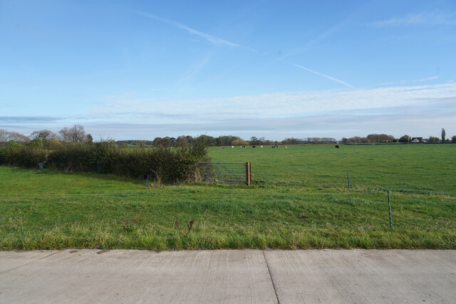
The village is known for its picturesque setting, with rolling green fields and beautiful countryside all around. It boasts a peaceful and idyllic atmosphere, making it a popular destination for those seeking a tranquil retreat. Aston is home to a close-knit community, with a population of around 1,000 residents.

Historically, Aston has strong ties to the agricultural industry, with farming being a significant part of its heritage. The village still retains some of its rural character, with several farms and agricultural activities in the area. However, Aston has also seen some residential development over the years, with a mix of traditional stone cottages and modern houses.

Aston offers a range of amenities for its residents, including a primary school, a village hall, and a local pub. It also benefits from being in close proximity to larger towns and cities, providing easy access to a wider range of services and facilities.

The surrounding area offers plenty of opportunities for outdoor enthusiasts, with several walking and cycling trails, as well as the nearby Aston-on-Trent Nature Reserve. Aston truly captures the essence of a quintessential English village, with its scenic beauty, tight-knit community, and rich history.

If you have any feedback on the listing, please let us know in the comments section below.
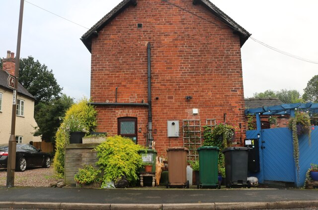
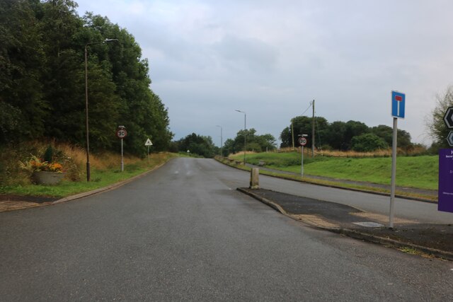
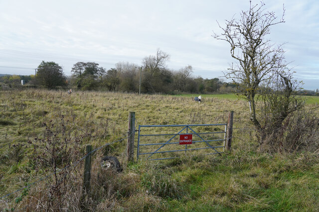
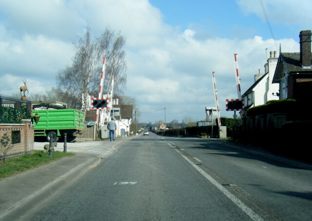
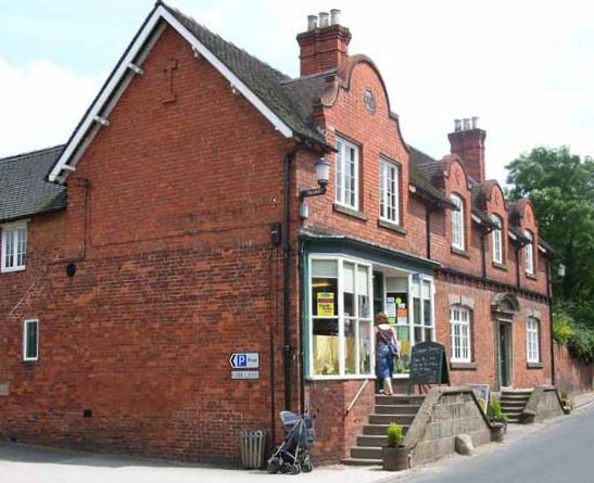
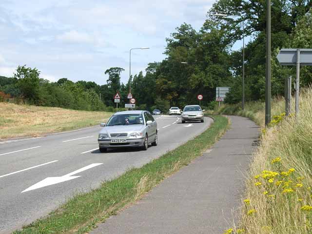
Aston Images

Images are sourced within 2km of 52.883377/-1.750308 or Grid Reference SK1631. Thanks to Geograph Open Source API. All images are credited.

House on Uttoxeter Road, Foston
Old house on Uttoxeter Road, Foston
The road to Sudbury Prison
Planter by the A515, Sudbury By the road to the prison
Planter by the A515, Sudbury
By the road to the prison
The road to Sudbury Prison At the junction of the A515
The road to Sudbury Prison
At the junction of the A515
The Sudbury Roundabout on the A50
Planter by the A515, Sudbury At the entrance to Sudbury Prison
Planter by the A515, Sudbury
At the entrance to Sudbury Prison
The A50, Aston
The A50, Aston
Layby on the A50, Aston
Uttoxeter Road, Foston
Minor road joins the A515
Looking towards the railway line The railway is invisible except when a train passes by, but it is just beyond the far hedge.
Looking towards the railway line
The railway is invisible except when a train passes by, but it is just beyond the far hedge.
Fields of grass The cattle grazing are just visible beyond the gated entrance.
Fields of grass
The cattle grazing are just visible beyond the gated entrance.
A515 level crossing near Draycott
Aston Bridge Aston Bridge carries the A515 across the River Dove and the narrow carriageway is controlled by traffic lights. The river here forms the border between Staffordshire and Derbyshire, as it does for pretty much its entire length.
Aston Bridge
Aston Bridge carries the A515 across the River Dove and the narrow carriageway is controlled by traffic lights. The river here forms the border between Staffordshire and Derbyshire, as it does for pretty much its entire length.
Sheep grazing in a field near Sudbury
Sudbury Hall The south west elevation of Sudbury Hall, a National Trust manor house.
Sudbury Hall
The south west elevation of Sudbury Hall, a National Trust manor house.
Main Road, Sudbury in Derbyshire Sudbury is a village in Derbyshire associated with the nearby Sudbury Hall which can be seen in the background behind the smoke. It had a population of 1,010 in the 2011 census. Main Road was formerly the route of the A50 but a bypass was built in 1972. In the centre of the image can be seen the red oval containing the word 'POST OFFICE' indicating the village post office.
Main Road, Sudbury in Derbyshire
Sudbury is a village in Derbyshire associated with the nearby Sudbury Hall which can be seen in the background behind the smoke. It had a population of 1,010 in the 2011 census. Main Road was formerly the route of the A50 but a bypass was built in 1972. In the centre of the image can be seen the red oval containing the word 'POST OFFICE' indicating the village post office.
Show me another place!

Aston is located at Grid Ref: SK1631 (Lat: 52.883377, Lng: -1.750308)

Administrative County: Derbyshire

District: Derbyshire Dales

Police Authority: Derbyshire

What 3 Words

///ridge.reputable.against. Near Doveridge, Derbyshire

Nearby Locations

Aston

Related Wikis

Nearby Amenities

Located within 500m of 52.883377,-1.750308
Hazard: pedestrians_crossing
Lat/Long: 52.884019/-1.7494515
Post Box
Operator: Royal Mail
Ref: DE6 39
Lat/Long: 52.8856942/-1.7470194
Aston
Place: hamlet
Source: OS_OpenData_StreetView
Wikidata: Q4810932
Wikipedia: en:Aston, Derbyshire Dales
Lat/Long: 52.884805/-1.7465889
Source: Bing
Lat/Long: 52.8841364/-1.7466327
Source: Bing
Lat/Long: 52.884332/-1.7554634
Bus Stop
Dovebank
Naptan AtcoCode: 1000DSMR5211
Naptan NaptanCode: dbsdjmwm
Public Transport: platform
Lat/Long: 52.8832086/-1.7543377
Bus Stop
Dovebank
Naptan AtcoCode: 1000DSMR5212
Naptan NaptanCode: dbsdjmwp
Public Transport: platform
Lat/Long: 52.8829763/-1.7543136
Bus Stop
Aston Farm North
Naptan AtcoCode: 1000DSAA5210
Naptan NaptanCode: dbsdadwm
Public Transport: platform
Lat/Long: 52.8838617/-1.7491248
Bus Stop
Aston Farm North
Naptan AtcoCode: 1000DSAA5209
Naptan NaptanCode: dbsdadwj
Public Transport: platform
Shelter: yes
Lat/Long: 52.8842331/-1.7476255
Give Way
Direction: forward
Lat/Long: 52.8815965/-1.7533037
Traffic Calming: island
Lat/Long: 52.8826044/-1.7535125
Note: Pavement stops here
Lat/Long: 52.8841613/-1.7483049
The data included in this document is from www.openstreetmap.org. The data is made available under ODbL.

Have you been to Aston?

Leave your review of Aston below (or comments, questions and feedback).