Aston

Settlement in Derbyshire High Peak

England

Aston

Ruined barn north west of Edge Farm On the northern  slopes of The Hope Valley.
Ruined barn north west of Edge Farm Credit: Neil Theasby

Aston is a small village located in the county of Derbyshire, in the heart of England. Situated approximately five miles east of the city of Derby, Aston is part of the Amber Valley district and falls within the East Midlands region. The village is nestled in a picturesque rural setting, surrounded by rolling hills and beautiful countryside.

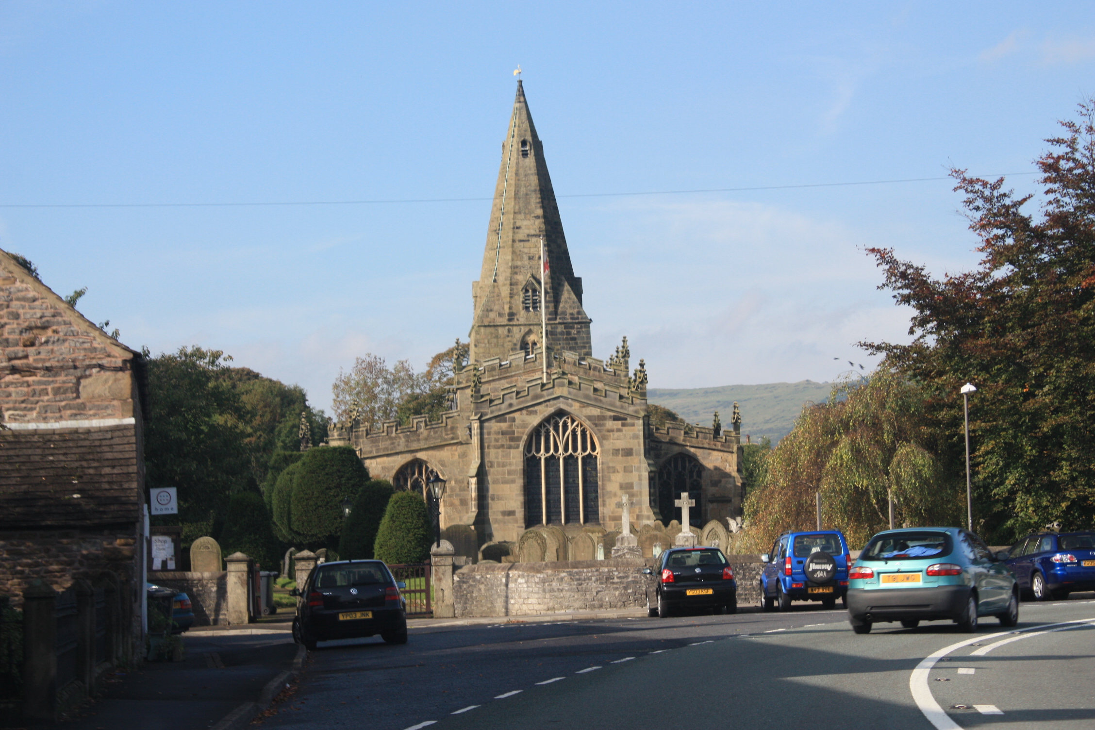
Aston has a rich history, with evidence of human settlement dating back to the Neolithic period. The village itself grew during the medieval era, and some of its ancient buildings still stand today, including the 13th-century All Saints Church. The village is also home to several historic farmhouses and cottages, adding to its charm and character.

Despite its relatively small size, Aston has a strong sense of community and offers a range of amenities for its residents. These include a village hall, a primary school, a post office, and a local pub, providing a focal point for social gatherings. The village is well-connected, with good transport links to nearby towns and cities, making it an attractive place to live for those seeking a quieter rural lifestyle while remaining within easy reach of urban amenities.

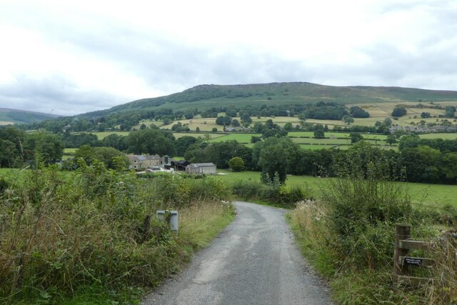
The surrounding area offers plenty of opportunities for outdoor activities, with numerous walking trails and cycling routes. Aston is also conveniently located near several popular tourist attractions, such as Chatsworth House and the Peak District National Park, which attract visitors from far and wide.

Overall, Aston is a charming and friendly village, offering a peaceful and idyllic setting for its residents, coupled with easy access to both rural and urban amenities.

If you have any feedback on the listing, please let us know in the comments section below.
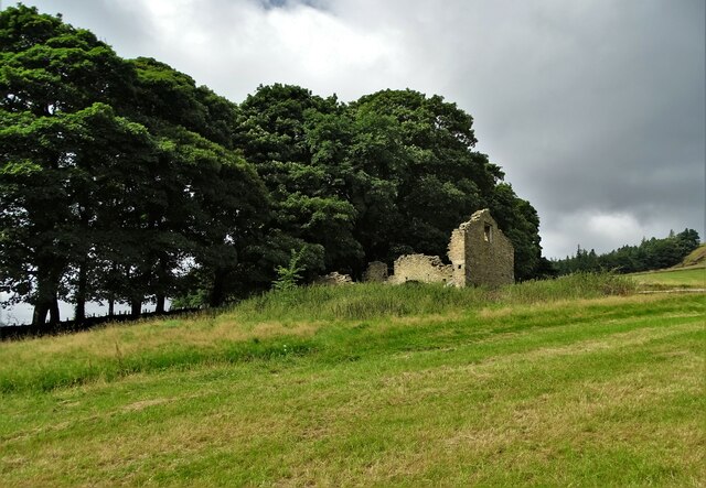
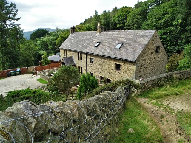
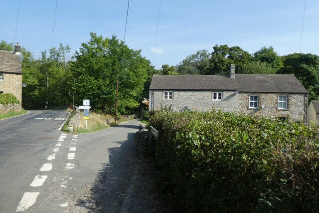
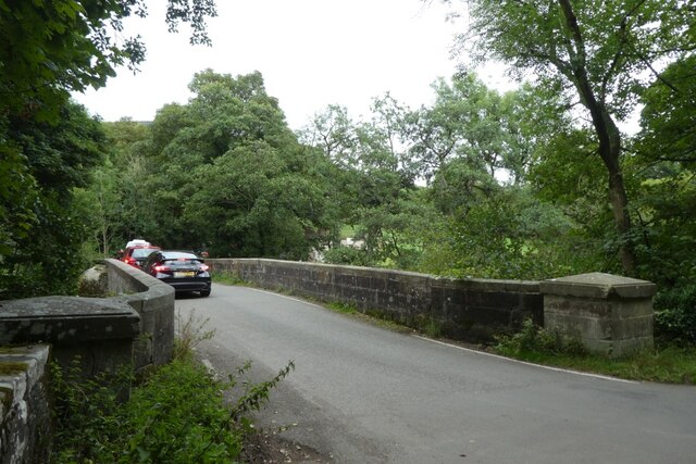
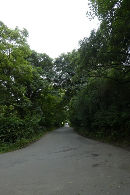
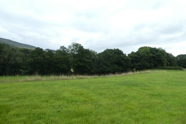
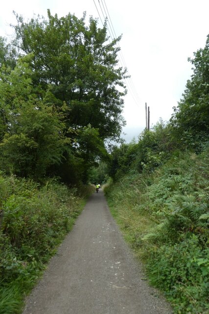
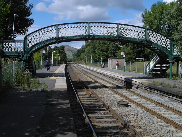
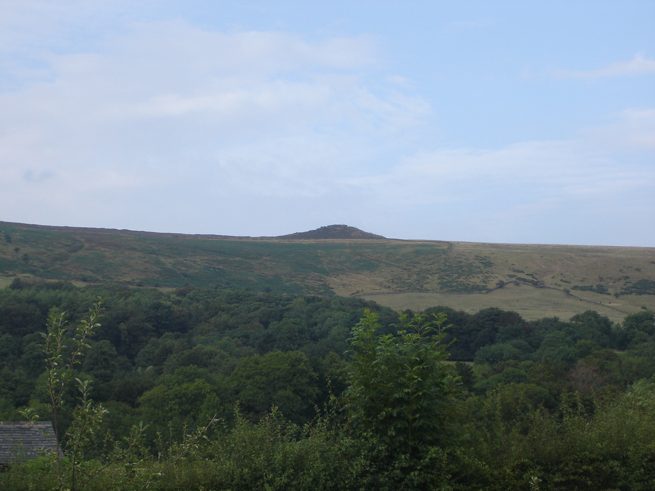
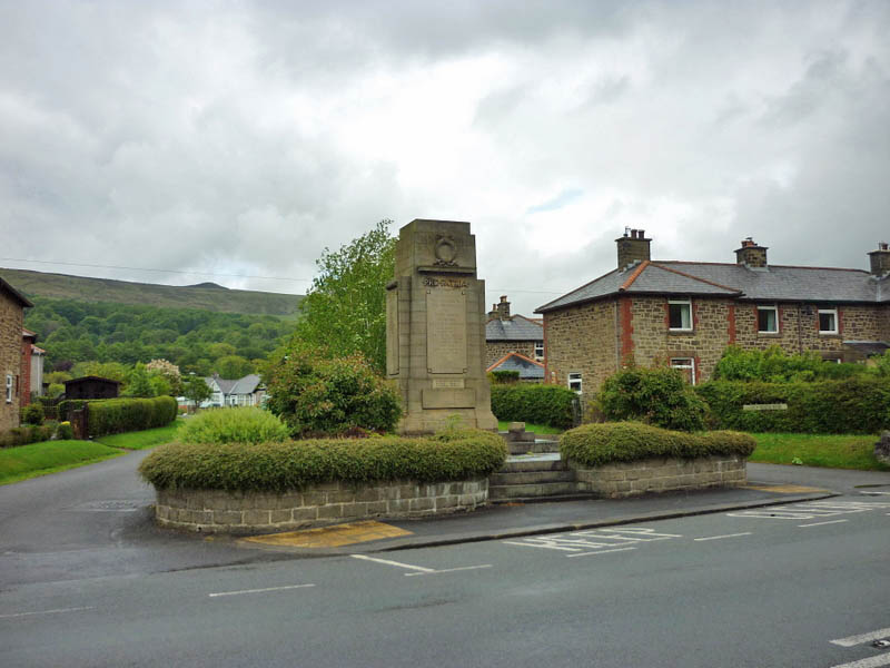
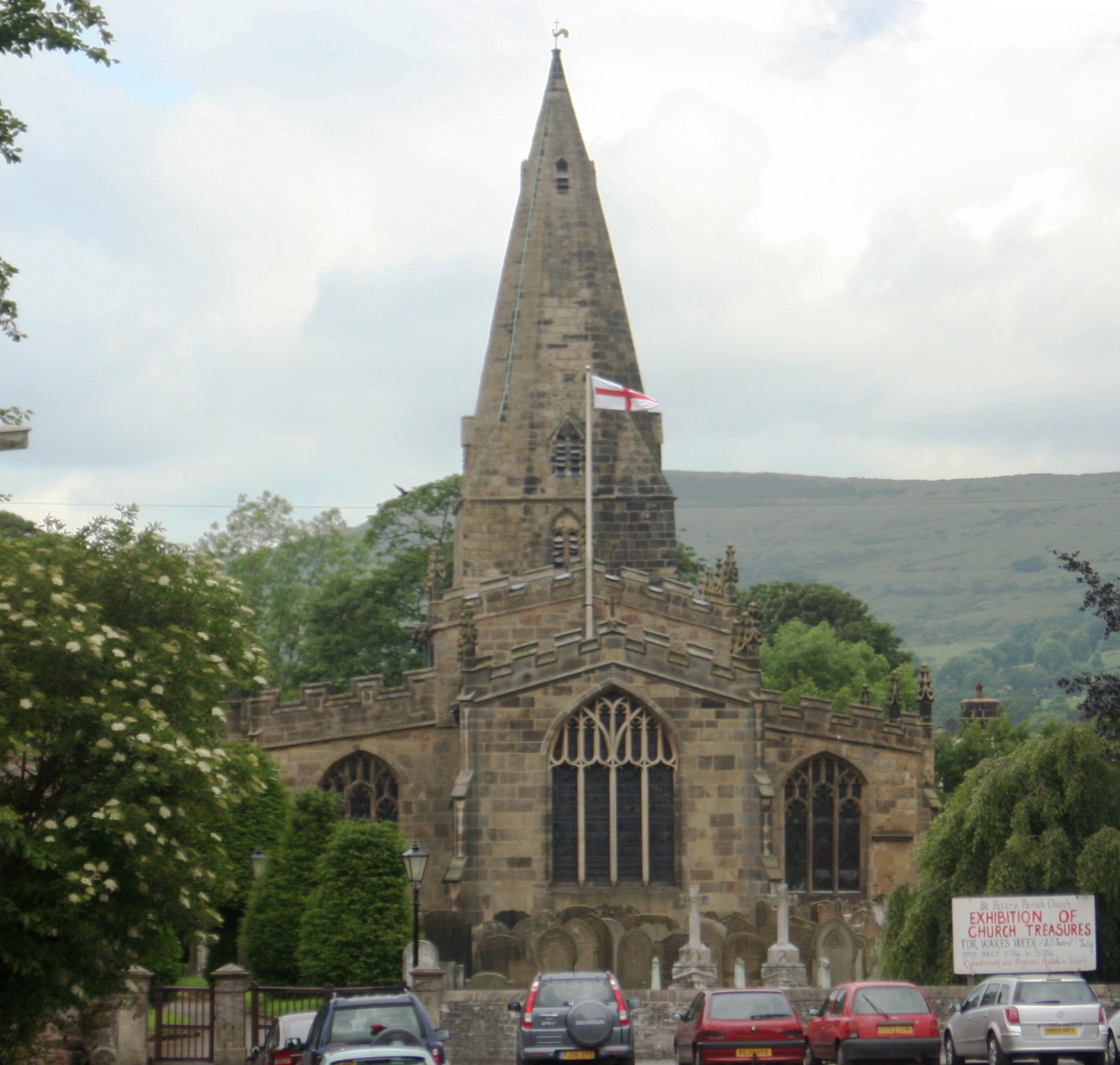
Aston Images

Images are sourced within 2km of 53.351809/-1.7227149 or Grid Reference SK1883. Thanks to Geograph Open Source API. All images are credited.

Ruined barn north west of Edge Farm On the northern  slopes of The Hope Valley.
Ruined barn north west of Edge Farm
On the northern slopes of The Hope Valley.
Twitchill Farm north of Hope On the northern slopes of The Hope Valley. Embracing diversification, the farm now offers self-catering cottages for paying visitors.
Twitchill Farm north of Hope
On the northern slopes of The Hope Valley. Embracing diversification, the farm now offers self-catering cottages for paying visitors.
The way to Hope Station On Station Road, Hope.
The way to Hope Station
On Station Road, Hope.
Hope Station -  the Sheffield platform
Hope Station - the Sheffield platform
Platform 1 - Hope Station Trains for Manchester depart from this platform.
Platform 1 - Hope Station
Trains for Manchester depart from this platform.
Bowden Lane and Edale Road On the right is Bowden Lane as it meets Edale Lane.
Bowden Lane and Edale Road
On the right is Bowden Lane as it meets Edale Lane.
Edale Road near Mill Farm Looking along Edale Road in Hope.
Edale Road near Mill Farm
Looking along Edale Road in Hope.
Edale Road and bridge The road passes under the railway line servicing the cement works in Hope.
Edale Road and bridge
The road passes under the railway line servicing the cement works in Hope.
Edale Road near The Barn Looking along Edale Road in Hope.
Edale Road near The Barn
Looking along Edale Road in Hope.
Railway bridge crossing Edale Road The railway links the cement works in Hope to the Hope Valley line.
Railway bridge crossing Edale Road
The railway links the cement works in Hope to the Hope Valley line.
Edale Road north of the railway Looking along Edale Road in Hope.
Edale Road north of the railway
Looking along Edale Road in Hope.
Along Edale Road Looking along Edale Road on the north side of Hope.
Along Edale Road
Looking along Edale Road on the north side of Hope.
Edale Road and Lose Hill Lane On the left is Lose Hill Lane with Edale Road on the right.
Edale Road and Lose Hill Lane
On the left is Lose Hill Lane with Edale Road on the right.
Bridge over the River Derwent Looking along Lydgate Lane.
Bridge over the River Derwent
Looking along Lydgate Lane.
Junction of Carr Lane and Lydgate Lane Looking down Carr Lane below Ladybower reservoir.
Junction of Carr Lane and Lydgate Lane
Looking down Carr Lane below Ladybower reservoir.
Field beside Carr Lane The River Derwent runs amongst the trees.
Field beside Carr Lane
The River Derwent runs amongst the trees.
Thornhill Trail Looking along a cycle path along the former railway line.
Thornhill Trail
Looking along a cycle path along the former railway line.
Track to Carr Bottom Farm Looking along a track from the Thornhill Trail.
Track to Carr Bottom Farm
Looking along a track from the Thornhill Trail.
Show me another place!

Aston is located at Grid Ref: SK1883 (Lat: 53.351809, Lng: -1.7227149)

Administrative County: Derbyshire

District: High Peak

Police Authority: Derbyshire

What 3 Words

///spindles.inferior.dustbin. Near Hope Valley, Derbyshire

Nearby Locations

Aston

Related Wikis

Related Videos

5km solo sunrise hike in the Peak District #mamtor #hiking #peakdistrict #mamtorsunrise #solohike

I decided to watch the sunrise over mam tor. Waking up at 4am was a struggle but 100% worth it for this incredible view! Hope you ...

Bamford edge 🌅#explore #sunset #peakdistrict #uk #hiking #adventure #chasingsunsets #nature

Bamford edge is a collection of rocks that stick out north of the village of Bamford has some moderately challenging roots has ...

Bamford Edge, Peak District- walking tour- 4K | 2021

26th June 2021 Another beautiful spot to explore in the Peak District. A short uphill hike, with amazing views throughout. You can ...

Exploring Hope, Lose Hill, then hiking into Castleton for a bite to eat

Riding into the village of Hope in the Peak District using the Hope Train station service from Manchester, this is us exploring the ...

Nearby Amenities

Located within 500m of 53.351809,-1.7227149
Aston
Is In: Derbyshire, England, UK
Place: hamlet
Wikidata: Q2169582
Wikipedia: en:Aston, High Peak
Lat/Long: 53.35235/-1.7233884
Post Box
Collection Times: Mo-Fr 09:00; Sa 07:00
Operator: Royal Mail
Ref: S33 612
Royal Cypher: GR
Lat/Long: 53.3526424/-1.7264065
037
Ele: 274.580200
Wpt Description: 24-JUL-10 16:05:56
Wpt Symbol: Crossing
Lat/Long: 53.3544779/-1.7173684
Barrier: stile
Foot: yes
Material: wood
Source: survey;gps
Stile: stepover
Lat/Long: 53.3544515/-1.7174033
Barrier: stile
Ele: 245.260132
Foot: yes
Material: stone
Source: GPS survey
Steps: 4
Stile: stepover
Lat/Long: 53.3517712/-1.7226073
Material: wood
Power: pole
Lat/Long: 53.3486912/-1.7178337
Material: wood
Power: pole
Lat/Long: 53.3482473/-1.7246148
Material: wood
Power: pole
Lat/Long: 53.3485483/-1.7268947
Material: wood
Power: pole
Lat/Long: 53.3483069/-1.7225114
Material: wood
Power: pole
Lat/Long: 53.3483609/-1.7246014
Material: wood
Power: pole
Lat/Long: 53.3488189/-1.7178369
Material: wood
Power: pole
Lat/Long: 53.3484334/-1.7268271
Material: wood
Power: pole
Lat/Long: 53.3484618/-1.7202401
Material: wood
Power: pole
Lat/Long: 53.3483769/-1.7201731
Material: wood
Power: pole
Lat/Long: 53.348409/-1.7237753
Material: wood
Power: pole
Lat/Long: 53.3480827/-1.7224873
Material: wood
Power: pole
Lat/Long: 53.3486251/-1.7215759
Material: wood
Power: pole
Lat/Long: 53.348172/-1.7225039
Barrier: stile
Foot: yes
Material: wood
Source: survey;gps
Stile: stepover
Lat/Long: 53.3523035/-1.7207124
Barrier: stile
Foot: yes
Material: stone
Source: survey;gps
Stile: squeezer
Lat/Long: 53.3486163/-1.7270318
Barrier: stile
Check Date: 2023-02-25
Foot: yes
Material: wood
Source: survey;gps
Step Count: 1
Stile: stepover
Lat/Long: 53.3475155/-1.7226703
Barrier: stile
Check Date: 2023-02-25
Foot: yes
Material: wood
Source: survey;gps
Step Count: 2
Stile: stepover
Lat/Long: 53.3476041/-1.7248971
Barrier: stile
Foot: yes
Material: wood
Source: survey;gps
Stile: stepover
Lat/Long: 53.3512265/-1.7164306
Bench
Source: survey;gps
Lat/Long: 53.3492552/-1.7231891
Barrier: stile
Foot: yes
Material: stone
Source: survey;gps
Stile: stepover
Lat/Long: 53.349444/-1.7234224
Barrier: stile
Foot: yes
Material: stone
Source: survey;gps
Stile: stepover
Lat/Long: 53.3504733/-1.7229708
Barrier: stile
Foot: yes
Material: stone
Source: survey;gps
Stile: squeezer
Lat/Long: 53.3507564/-1.7228273
Direction: 170
Generator Method: photovoltaic
Generator Output Electricity: yes
Generator Source: solar
Generator Type: solar_photovoltaic_panel
Location: roof
Power: generator
Lat/Long: 53.3522176/-1.7256113
Material: wood
Power: pole
Lat/Long: 53.3550588/-1.7267967
Material: wood
Power: pole
Lat/Long: 53.3545588/-1.7261539
Material: wood
Power: pole
Lat/Long: 53.3540182/-1.7256532
Material: wood
Power: pole
Lat/Long: 53.3528561/-1.7245394
Material: wood
Power: pole
Lat/Long: 53.3523005/-1.7240237
Material: wood
Power: pole
Lat/Long: 53.3522514/-1.7239826
Material: wood
Power: pole
Lat/Long: 53.3487127/-1.7270455
Material: wood
Power: pole
Lat/Long: 53.3485627/-1.7253918
Material: wood
Power: pole
Lat/Long: 53.348488/-1.7245486
Fixme: stile of gate here?
Lat/Long: 53.3519172/-1.7203353
The data included in this document is from www.openstreetmap.org. The data is made available under ODbL.

Have you been to Aston?

Leave your review of Aston below (or comments, questions and feedback).