Aston

Settlement in Staffordshire Stafford

England

Aston

Wind turbines near Doxey, Staffordshire
Wind turbines near Doxey, Staffordshire Credit: Roy Hughes

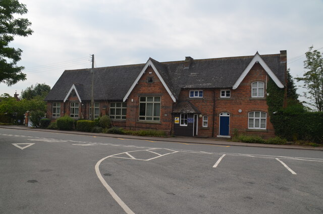
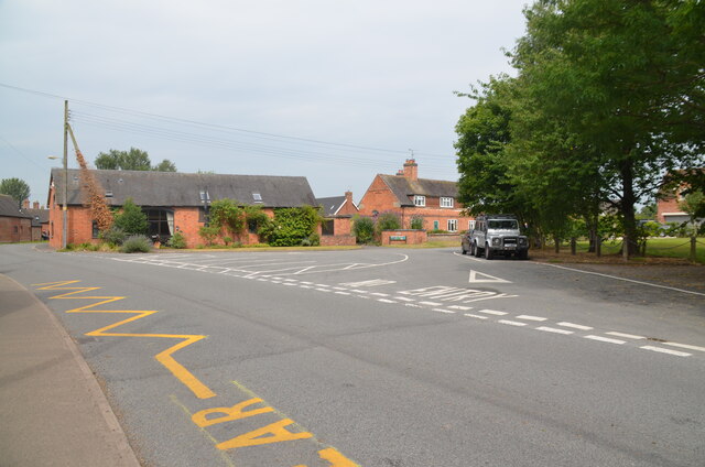
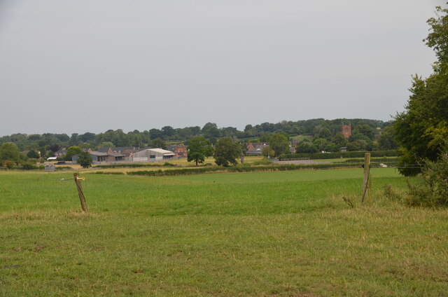
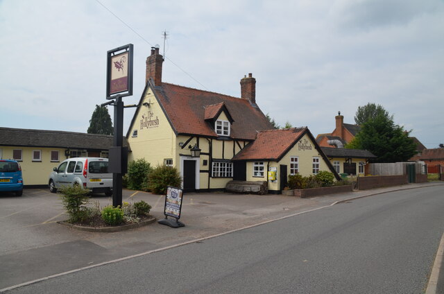
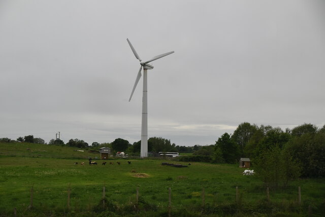
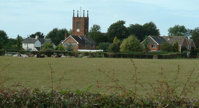
Aston is a small village located in the county of Staffordshire, England. Situated approximately 4 miles north-west of the town of Stone, Aston is a picturesque rural settlement with a population of around 1,200 residents.

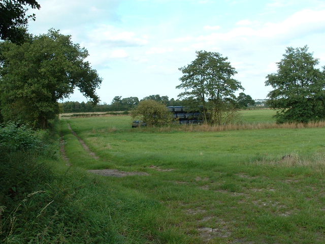
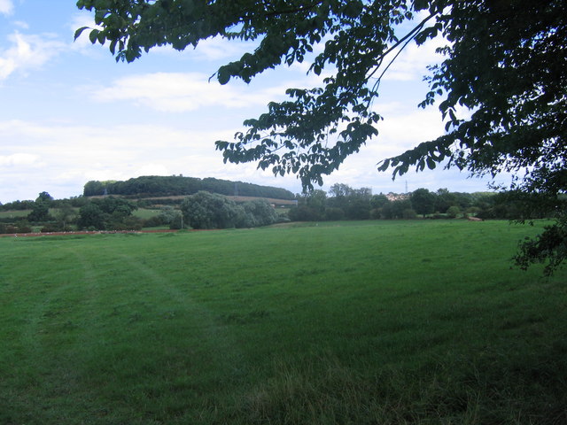
The village is known for its historic charm and beautiful countryside surroundings. It is nestled in the Trent Valley, offering stunning views of the rolling hills and lush green fields that characterise the area. Aston is also home to the River Trent, which flows through the village, providing a peaceful and serene atmosphere.

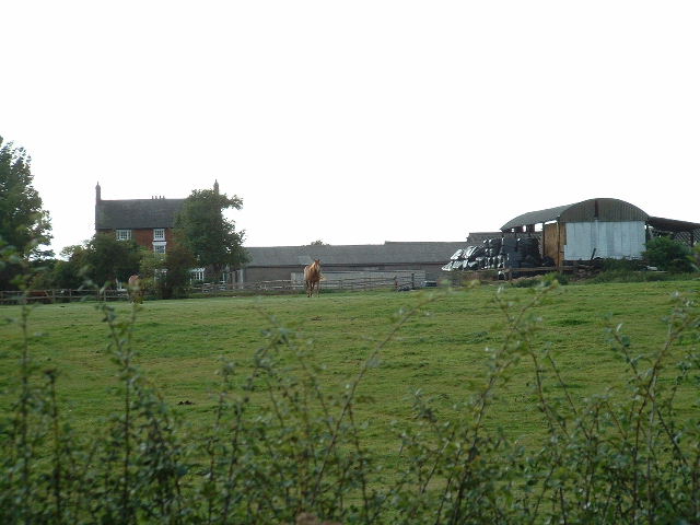
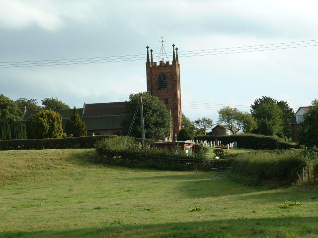
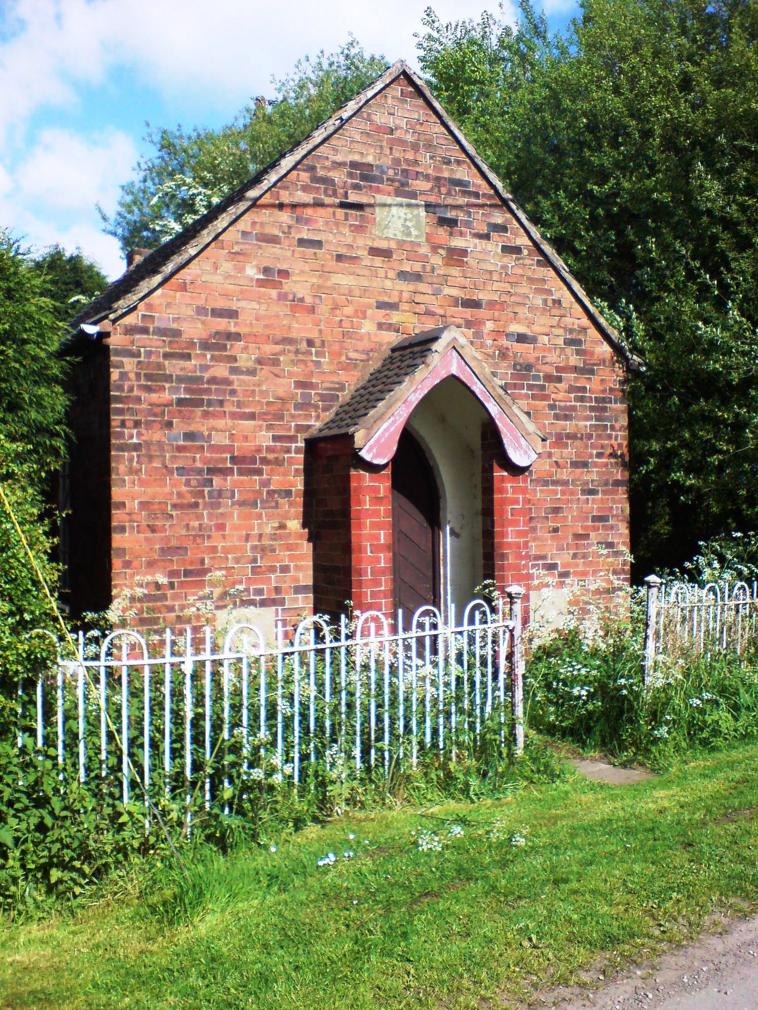
The architecture in Aston is predominantly traditional, with a mix of period cottages, farmhouses, and modern houses. The village has a close-knit community, and residents take pride in maintaining the village's appearance and preserving its historical heritage.

Aston offers a range of amenities to cater to the needs of its residents. These include a primary school, a village hall, a local shop, and a pub, which serves as a social hub for the community. The village is well-connected to nearby towns and cities, with regular bus services and easy access to major road networks.

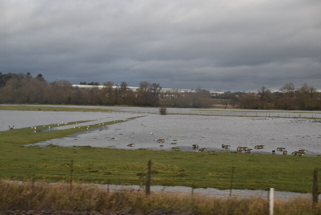
For outdoor enthusiasts, Aston provides ample opportunities for activities such as walking, cycling, and fishing along the River Trent. The surrounding countryside is also dotted with various nature reserves, offering a chance to explore and appreciate the local flora and fauna.

In conclusion, Aston, Staffordshire, is a charming village known for its idyllic rural setting, rich history, and strong community spirit.

If you have any feedback on the listing, please let us know in the comments section below.
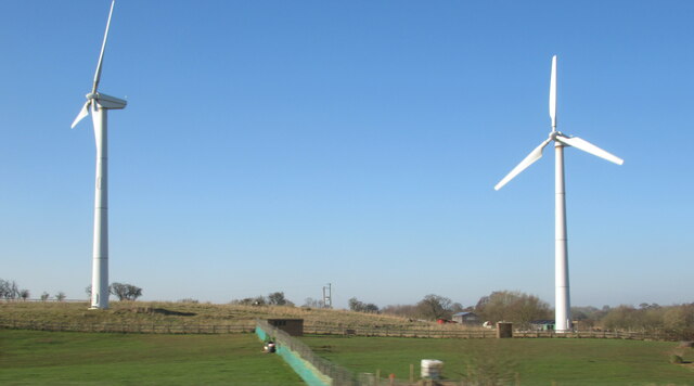
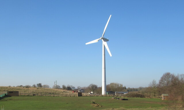
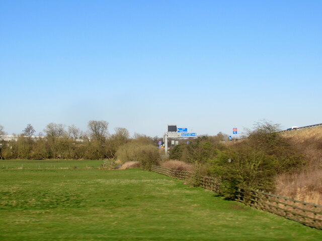
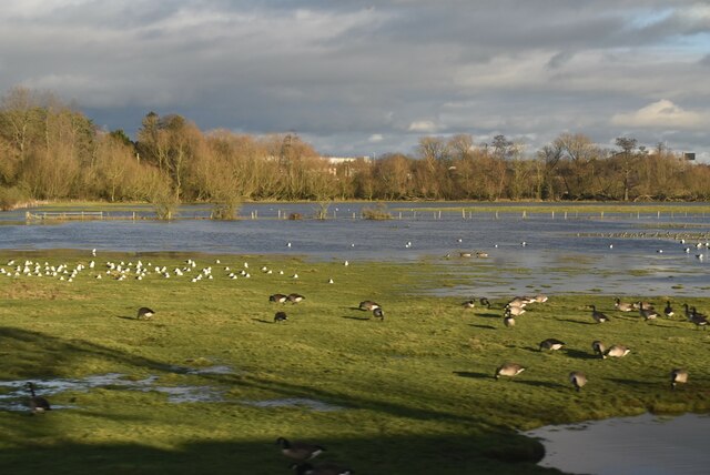
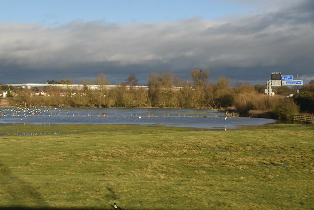
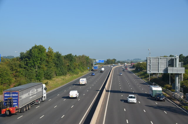
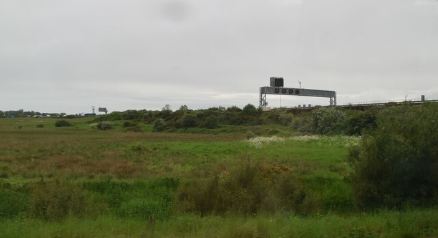
Aston Images

Images are sourced within 2km of 52.808916/-2.161672 or Grid Reference SJ8923. Thanks to Geograph Open Source API. All images are credited.

Wind turbines near Doxey, Staffordshire
A wind turbine near Doxey, Staffordshire
Railway passing underneath the M6 Motorway south of Junction 14
Localised flooding by River Sow
Cooper Perry Primary School, Seighford near Stafford Cooper Perry Primary School, Seighford near Stafford is named after Sir Edwin Cooper Perry, GCVO (1856-1938) who was a physician and became Vice-Chancellor of the University of London. His father was the vicar of St Chad's Church, Seighford.
Cooper Perry Primary School, Seighford near Stafford
Cooper Perry Primary School, Seighford near Stafford is named after Sir Edwin Cooper Perry, GCVO (1856-1938) who was a physician and became Vice-Chancellor of the University of London. His father was the vicar of St Chad's Church, Seighford.
The Green, Seighford, near Stafford A view across The Green, Seighford, towards a barn conversion in the centre-left. Cooper Perry Junior School is behind the photographer. St Chad's church is off-picture to the right. The Green has a number of parking places in its centre. Clearly it's not seen grass for some time.
The Green, Seighford, near Stafford
A view across The Green, Seighford, towards a barn conversion in the centre-left. Cooper Perry Junior School is behind the photographer. St Chad's church is off-picture to the right. The Green has a number of parking places in its centre. Clearly it's not seen grass for some time.
View over Seighford near Stafford A view of Seighford taken from Oldford Lane looking north, showing the red-brick tower of St Chad's on the right
View over Seighford near Stafford
A view of Seighford taken from Oldford Lane looking north, showing the red-brick tower of St Chad's on the right
The Holly Bush, Seighford, near Stafford The Holly Bush PH is a grade II listed building situated on The Cumbers, Seighford. The building dates back to the 17th Century with later changes and additions. It has been an inn since that time.
The Holly Bush, Seighford, near Stafford
The Holly Bush PH is a grade II listed building situated on The Cumbers, Seighford. The building dates back to the 17th Century with later changes and additions. It has been an inn since that time.
Wildfowl and localised flooding
Localised flooding
Localised flooding
M6 looking north to J14 from Aston Bank bridge The M6 between junctions 13 and 15 was converted to a managed motorway which was opened in August 2022
M6 looking north to J14 from Aston Bank bridge
The M6 between junctions 13 and 15 was converted to a managed motorway which was opened in August 2022
Gantry, M6 The M6 motorway runs from junction 19 of the M1 at the Catthorpe Interchange, near Rugby to the Gretna junction (J45). Here it becomes the A74(M) and M74 which continues to Glasgow.

The M6 is the longest motorway in the United Kingdom (232 miles) and one of the busiest. It incorporates the first length of motorway opened in the UK (the Preston bypass in 1958) and forms part of a motorway "Backbone of Britain", running north-south between London and Glasgow via the industrial north of England. It is also part of the east-west route between the Midlands and the east coast ports.
Gantry, M6
The M6 motorway runs from junction 19 of the M1 at the Catthorpe Interchange, near Rugby to the Gretna junction (J45). Here it becomes the A74(M) and M74 which continues to Glasgow. The M6 is the longest motorway in the United Kingdom (232 miles) and one of the busiest. It incorporates the first length of motorway opened in the UK (the Preston bypass in 1958) and forms part of a motorway "Backbone of Britain", running north-south between London and Glasgow via the industrial north of England. It is also part of the east-west route between the Midlands and the east coast ports.
Wind turbine
Wind turbine
Aston Hill Farm Looking West
Aston Hill Farm
Looking West
Farmland Farmland  - looking NE into square
Farmland
Farmland - looking NE into square
Seighford Church Looking south across square to church ( at southern edge of square)
Seighford Church
Looking south across square to church ( at southern edge of square)
Seighford Village Looking north over pastures - note Church is in next square at <a href="https://www.geograph.org.uk/gridref/SJ8825">SJ8825</a>
Seighford Village
Looking north over pastures - note Church is in next square at SJ8825
Grassy Field Looking across fields near Derrington, across the M6 ,which is this side of the pylon line to Stafford Castle, just poking above the trees.
Grassy Field
Looking across fields near Derrington, across the M6 ,which is this side of the pylon line to Stafford Castle, just poking above the trees.
Show me another place!

Aston is located at Grid Ref: SJ8923 (Lat: 52.808916, Lng: -2.161672)

Administrative County: Staffordshire

District: Stafford

Police Authority: Staffordshire

What 3 Words

///jobs.proper.gates. Near Stafford, Staffordshire

Nearby Locations

Aston

Related Wikis

Stafford Rural District

Stafford Rural District was a rural district in the county of Staffordshire. It was created in 1894 and abolished in 1974 by virtue of the Local Government...

Aston, Stafford

Aston is a hamlet in the county of Staffordshire, England. Aston was recorded in the Domesday Book as Estone. == References ==

Derrington

Derrington is a village west of the town of Stafford, in Staffordshire, England. For population details from the 2011 Census see under Seighford. Derrington...

Doxey

Doxey is a village and civil parish in the borough of Stafford in Staffordshire, England. It is a north-western suburb of Stafford. The village became...

Stafford Castle

Stafford Castle is an ancient Grade II listed castle situated two miles west of the town of Stafford in Staffordshire, England. From the time of the Norman...

Seighford

Seighford ( SY-fərd) is a village and civil parish about 3 miles (5 km) west of Stafford in Staffordshire, England. The population of this civil parish...

Doxey Marshes

Doxey Marshes is a 150 hectares (370 acres) nature reserve located within two miles of Stafford town centre, and is managed by Staffordshire Wildlife Trust...

Coton Clanford

Coton Clanford is a small dispersed Staffordshire village lying in gently rolling countryside 3 miles due west of Stafford, England, and 1 mile southeast...

Nearby Amenities

Located within 500m of 52.808916,-2.161672
Police
Central Motorway Police Group
Lat/Long: 52.8112099/-2.1565897
Barrier: kissing_gate
Lat/Long: 52.8044604/-2.1610055
Barrier: kissing_gate
Lat/Long: 52.8055513/-2.1613828
Barrier: kissing_gate
Lat/Long: 52.8083382/-2.1608754
Barrier: cycle_barrier
Lat/Long: 52.8087164/-2.1609026
Post Box
Post Box Type: wall
Ref: ST18 95
Royal Cypher: EVIIR
Royal Cypher Wikidata: Q33102324
Lat/Long: 52.8088001/-2.1603835
The data included in this document is from www.openstreetmap.org. The data is made available under ODbL.

Have you been to Aston?

Leave your review of Aston below (or comments, questions and feedback).