Aston
Settlement in Staffordshire Newcastle-under-Lyme
England
Aston
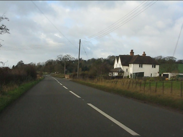
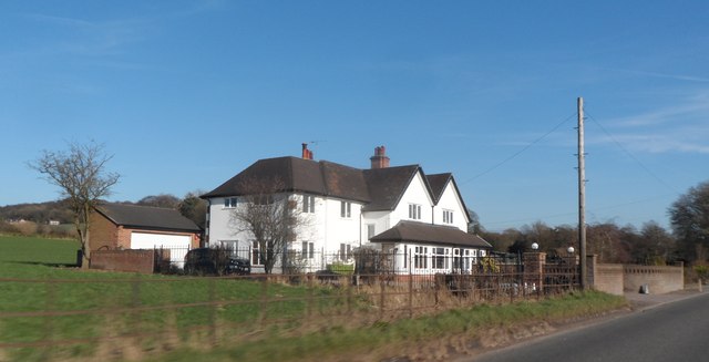
Aston is a small village located in the Staffordshire county of England, approximately 4 miles northeast of the city of Stafford. Situated on the banks of the River Trent, Aston is a picturesque village with a population of around 1,500 residents.
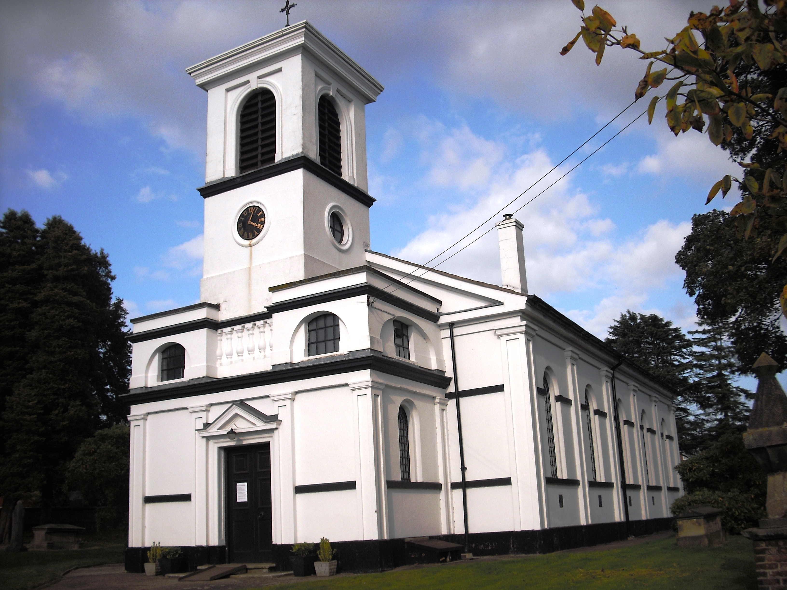
The village boasts a rich history, with records dating back to the Domesday Book in 1086. Throughout the centuries, Aston has seen various developments, but it has managed to retain its rural charm and character. The village is known for its well-preserved historic buildings, including a beautiful 12th-century church dedicated to St. Saviour.
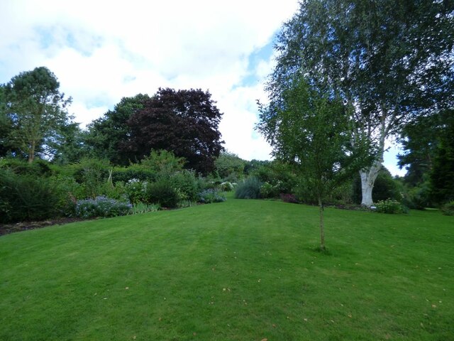
Aston provides its residents with a peaceful and idyllic setting, surrounded by lush green fields and countryside. The village offers a range of amenities, including a local pub, a primary school, and a community center. The nearby city of Stafford provides additional facilities, such as supermarkets, shops, and healthcare services.
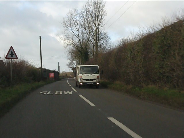
Nature enthusiasts will appreciate Aston's proximity to stunning natural landscapes, including the Cannock Chase Area of Outstanding Natural Beauty, which is just a short drive away. The village also benefits from excellent transport links, with easy access to major road networks, including the M6 motorway.
Aston is a close-knit community, with various events and activities organized throughout the year, fostering a strong sense of community spirit. Overall, Aston offers a delightful blend of history, natural beauty, and a welcoming community atmosphere, making it an attractive place to live or visit in the Staffordshire region.
If you have any feedback on the listing, please let us know in the comments section below.
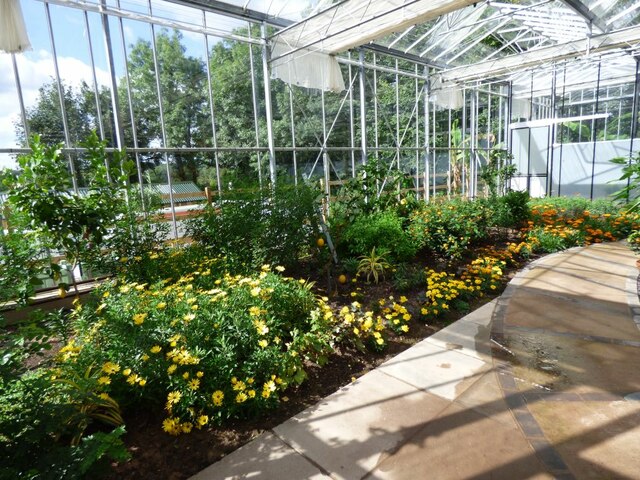
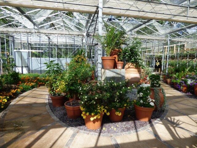
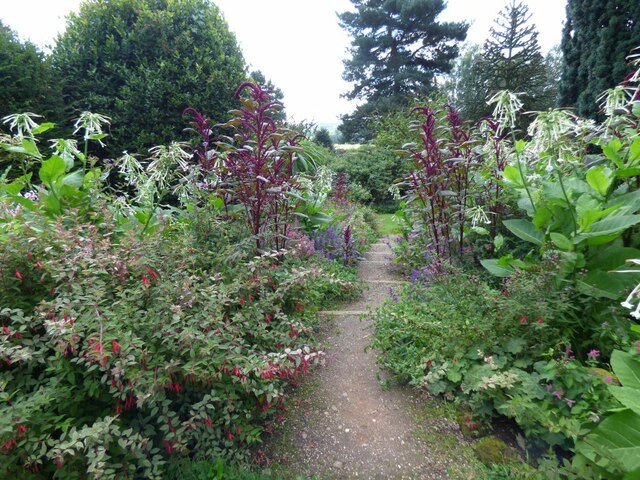
Aston Images
Images are sourced within 2km of 52.967574/-2.366846 or Grid Reference SJ7541. Thanks to Geograph Open Source API. All images are credited.


Aston is located at Grid Ref: SJ7541 (Lat: 52.967574, Lng: -2.366846)
Administrative County: Staffordshire
District: Newcastle-under-Lyme
Police Authority: Staffordshire
What 3 Words
///tinny.armrests.pounds. Near Madeley, Staffordshire
Nearby Locations
Related Wikis

Pipe Gate railway station
Pipe Gate was a railway station on the North Staffordshire Railway's Stoke to Market Drayton Line. == Construction == Construction was started on the Newcastle...

Onneley
Onneley is a hamlet in the Borough of Newcastle-under-Lyme, Staffordshire.Situated within Onneley is the local Golf and Cricket club. Onneley Cricket club...

Ireland's Cross
Ireland's Cross is a small hamlet in the civil parish of Woore in Shropshire, England. == References ==

Newcastle-under-Lyme Rural District
Newcastle-under-Lyme Rural District was a rural district in the county of Staffordshire. It was formed in 1894 with the civil parishes of Ashley, Audley...
Madeley Road railway station
Madeley Road railway station is a disused railway station in Staffordshire, England. The Stoke to Market Drayton Line was opened by the North Staffordshire...
Woore
Woore is a village and civil parish in the north east of Shropshire, England, of about 3,950 acres (1,600 hectares). It had a population of 1,004 in the...
Knighton, Newcastle-under-Lyme
Knighton is a hamlet in north west Staffordshire, England, located in the Borough of Newcastle-under-Lyme. It is surrounded to the west, north and east...
Madeley railway station (Staffordshire)
Madeley railway station is a disused railway station in Staffordshire, England. The station was opened by the Grand Junction Railway in 1837.: 43 It...
Nearby Amenities
Located within 500m of 52.967574,-2.366846Have you been to Aston?
Leave your review of Aston below (or comments, questions and feedback).