The Alders
Wood, Forest in Surrey Tandridge
England
The Alders

The Alders is a picturesque woodland located in Surrey, England. It is commonly referred to as the "Wood" or the "Forest" by locals, owing to its dense and abundant vegetation. Covering an area of approximately 500 acres, The Alders is renowned for its natural beauty and diverse ecosystem.
The woodland is predominantly composed of alder trees, from which it derives its name. These trees, with their distinctive silver bark and serrated leaves, create a stunning landscape throughout the year. The Alders is also home to a variety of other tree species including oak, beech, and birch, adding to its rich and vibrant character.
The Alders is a haven for wildlife enthusiasts and nature lovers alike. The forest provides a sanctuary for numerous animal species, including deer, foxes, badgers, and a wide variety of bird species. The tranquil atmosphere and abundant food sources make it an ideal habitat for these creatures.
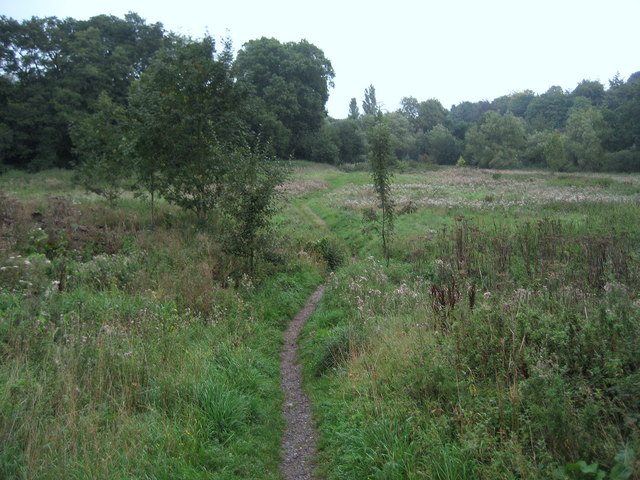
Numerous walking trails and pathways wind through The Alders, offering visitors the opportunity to explore its natural wonders. These well-maintained routes provide stunning views of the woodland, creating an immersive experience for those who venture into its depths. Additionally, the woodlands are equipped with picnic areas and benches, allowing visitors to relax and enjoy the peaceful surroundings.
The Alders is not only a place of natural beauty but also holds significant historical and cultural value. It has been a source of inspiration for artists and writers throughout the years, and its timeless charm continues to captivate visitors of all ages.
If you have any feedback on the listing, please let us know in the comments section below.
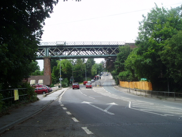
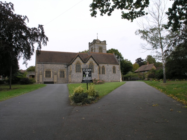
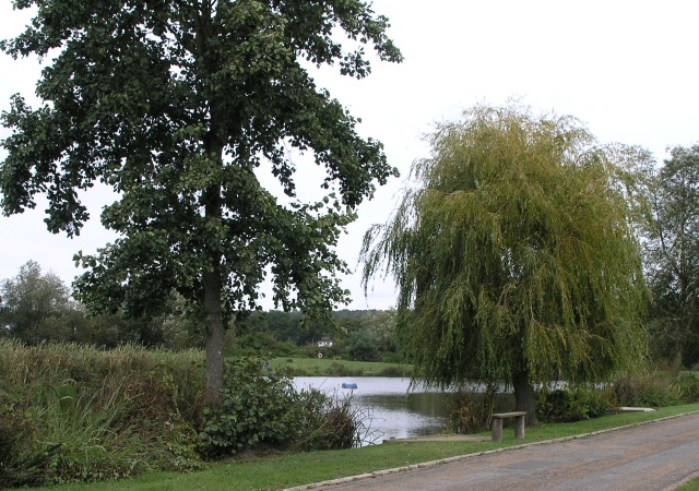
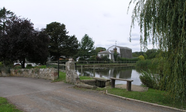
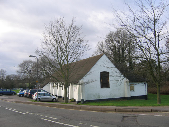
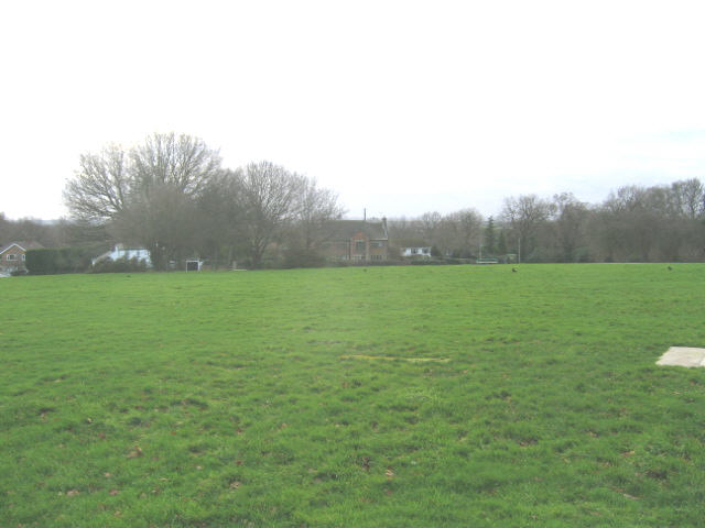
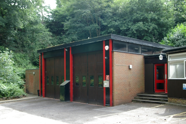
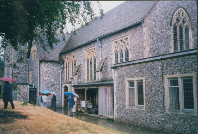
The Alders Images
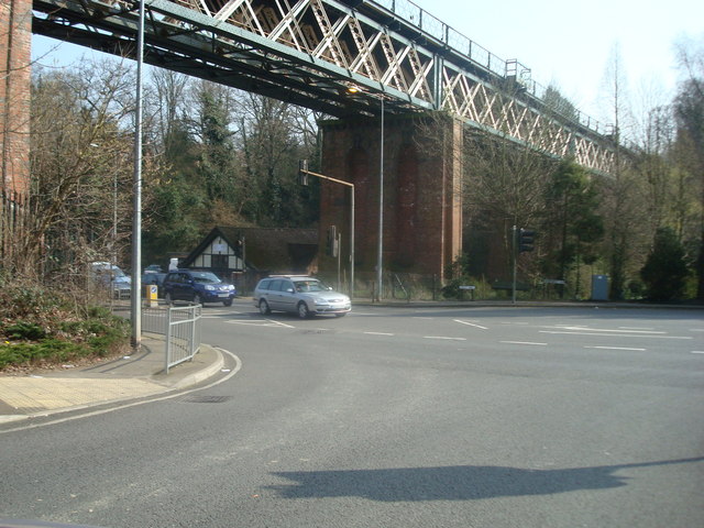
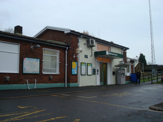
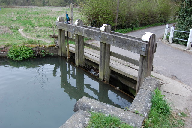
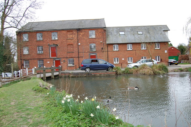
Images are sourced within 2km of 51.24627/0.018219041 or Grid Reference TQ4051. Thanks to Geograph Open Source API. All images are credited.


The Alders is located at Grid Ref: TQ4051 (Lat: 51.24627, Lng: 0.018219041)
Administrative County: Surrey
District: Tandridge
Police Authority: Surrey
What 3 Words
///fault.jobs.chefs. Near Oxted, Surrey
Nearby Locations
Related Wikis

Hazelwood School
Hazelwood School is a private preparatory school in Limpsfield, Surrey, England. The school was established in 1890 as a boarding school for boys aged...
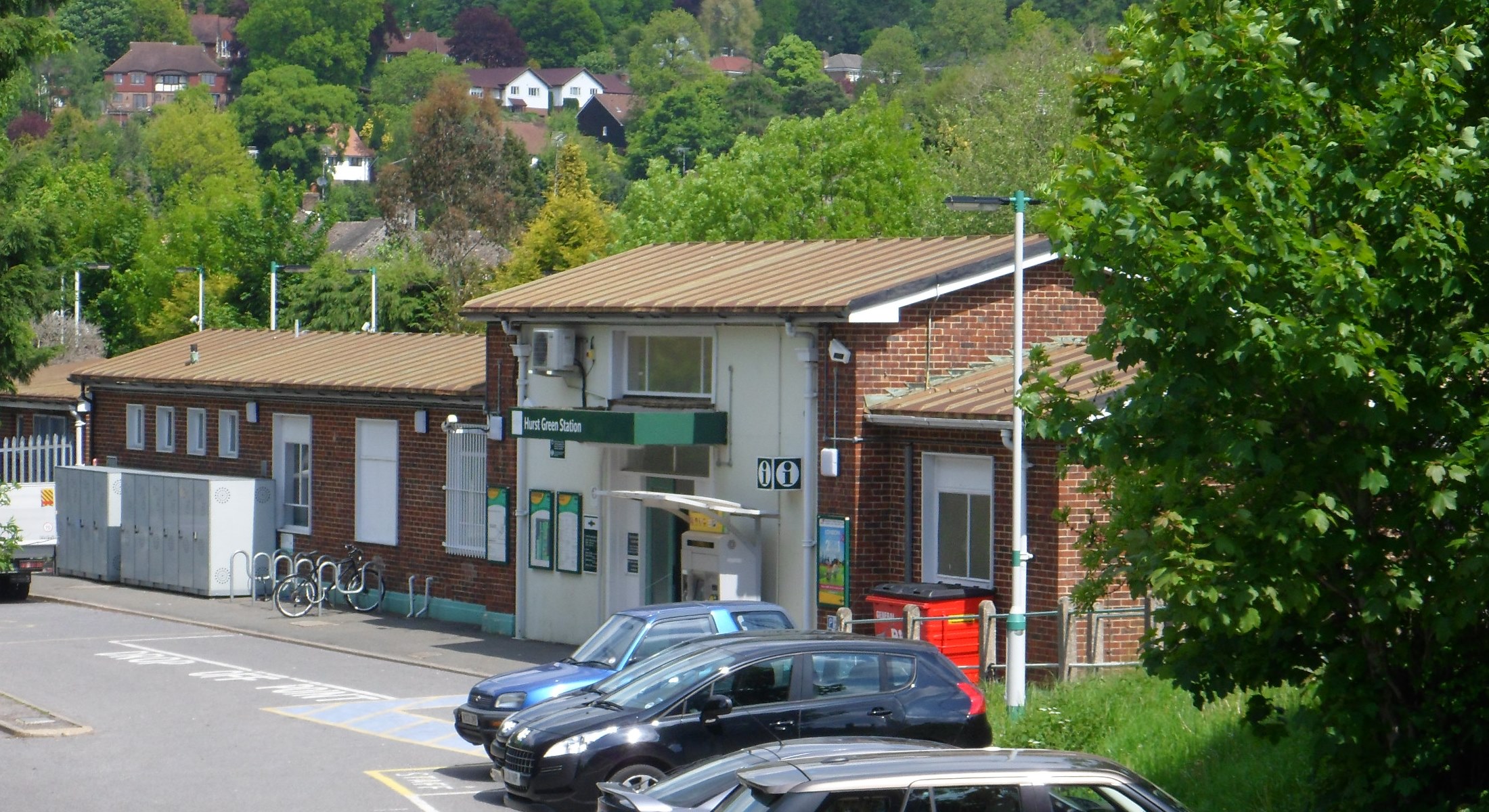
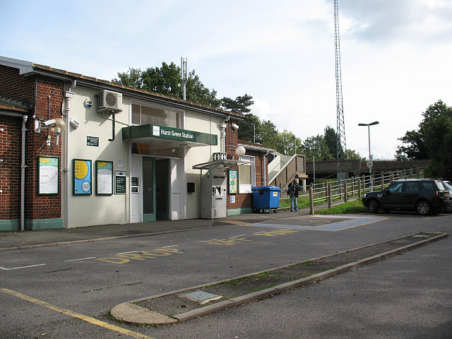
Hurst Green railway station
Hurst Green railway station is on the Oxted line in southern England and serves the Hurst Green neighbourhood of Oxted in Surrey. It is 21 miles 20 chains...

Tandridge Priory
Tandridge Priory was a priory in Surrey, England. == History == Tandridge Priory was originally a hospital founded in 1189–99 by Odo de Dammartin, and...

Limpsfield
Limpsfield is a village and civil parish in Surrey, England, at the foot of the North Downs close to Oxted railway station and the A25. The composer Frederick...

Church of St Peter, Limpsfield
The Anglican Church of St Peter in Limpsfield, Surrey, England dates from the 12th century. It is a Grade I listed building. It is known for the number...
Godstone Rural District
Godstone Rural District was a rural district in Surrey, England from 1894 to 1974, covering an area in the south-east of the county. == Origins == The...

Tandridge District
Tandridge is a local government district in east Surrey, England. Its council is based in Oxted, although the largest settlement is Caterham; other notable...
Oxted School
Oxted School is a coeducational secondary school and sixth form located in the English town of Oxted, Surrey. It was opened in 1929 as the first mixed...
Nearby Amenities
Located within 500m of 51.24627,0.018219041Have you been to The Alders?
Leave your review of The Alders below (or comments, questions and feedback).