Minepit Wood
Wood, Forest in Sussex Wealden
England
Minepit Wood
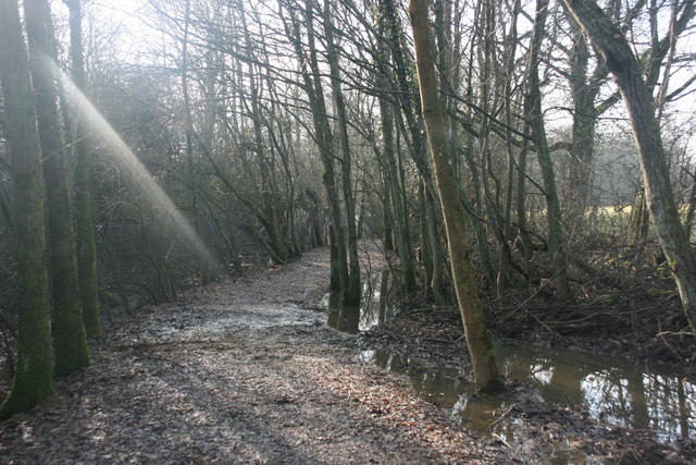
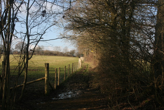
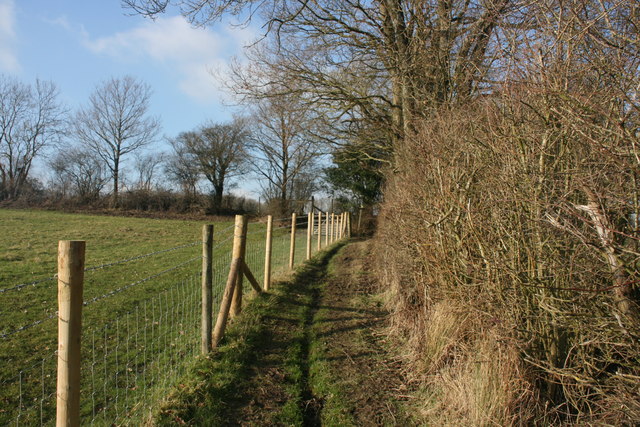
Minepit Wood is a picturesque woodland located in Sussex, England. Covering an area of approximately 100 acres, it is a part of the broader Sussex Weald, characterized by its rolling hills and dense forests. The wood is primarily composed of broadleaf trees, such as oak, beech, and ash, which create a stunning canopy of green throughout the year.
The woodland is known for its rich biodiversity, providing a habitat for a diverse range of wildlife. Numerous bird species can be spotted here, including woodpeckers, owls, and various songbirds. The forest floor is also home to a variety of mammals, such as deer, foxes, and badgers, making it a popular spot for wildlife enthusiasts and nature lovers.
Minepit Wood offers several walking trails, allowing visitors to explore its natural beauty at their own pace. These trails wind through the trees, offering glimpses of enchanting glades and serene ponds. The wood also has a designated picnic area, providing an ideal spot for visitors to relax and enjoy the tranquility of the surroundings.
In addition to its natural wonders, Minepit Wood holds historical significance. It is said to have been a source of timber for the local iron industry during the medieval period, with evidence of charcoal pits and iron smelting furnaces still visible today.
Overall, Minepit Wood is a captivating woodland that offers visitors a chance to immerse themselves in the beauty of nature, explore diverse wildlife, and discover a piece of Sussex's rich history.
If you have any feedback on the listing, please let us know in the comments section below.
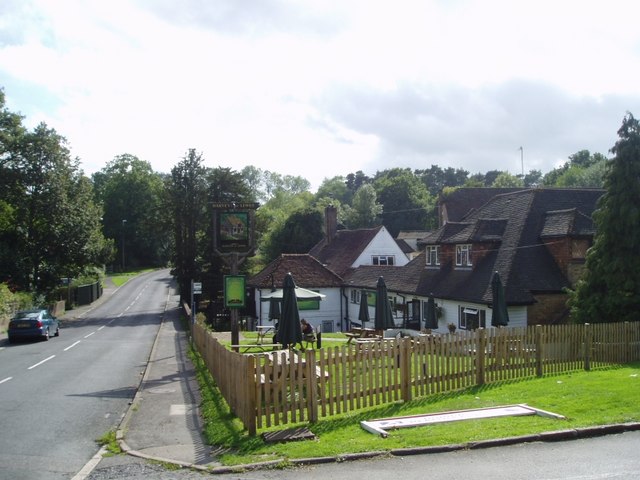
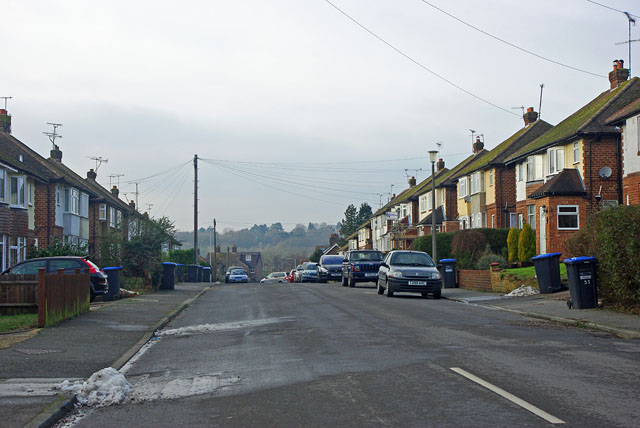
Minepit Wood Images
Images are sourced within 2km of 51.105519/0.012410485 or Grid Reference TQ4035. Thanks to Geograph Open Source API. All images are credited.


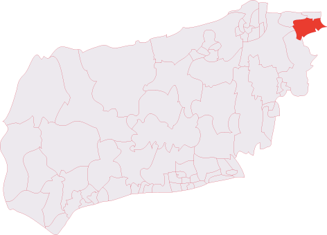
Minepit Wood is located at Grid Ref: TQ4035 (Lat: 51.105519, Lng: 0.012410485)
Administrative County: East Sussex
District: Wealden
Police Authority: Sussex
What 3 Words
///clinked.glove.polishing. Near Forest Row, East Sussex
Nearby Locations
Related Wikis
Brambletye School
Brambletye School is a coeducational day and boarding preparatory school in East Grinstead, West Sussex. It was founded as a small boys' boarding school...

Three Bridges–Tunbridge Wells line
The Three Bridges–Tunbridge Wells line is a mostly disused railway line running from Three Bridges (on the Brighton Main Line) in West Sussex to Tunbridge...

Ashurst Wood
Ashurst Wood is a village and civil parish in the Mid Sussex District of West Sussex, within the historic county of Sussex, England. It is 1 mile (2 km...
East Grinstead South & Ashurst Wood (electoral division)
East Grinstead South & Ashurst Wood is an electoral division of West Sussex in the United Kingdom, and returns one member to sit on West Sussex County...

Forest Row
Forest Row is a village and a large civil parish in the Wealden District of East Sussex, England. The village is located three miles (5 km) south-east...
Michael Hall (school)
Michael Hall is an independent Steiner Waldorf school in Kidbrooke Park on the edge of Ashdown Forest in East Sussex. Founded in 1925, it is the oldest...

Stoke Brunswick School
Stoke Brunswick School was a small co-educational day and boarding independent school for children aged 3 to 13 years, situated in Ashurst Wood, West Sussex...
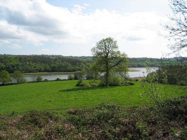
Weir Wood Reservoir
Weir Wood Reservoir is a 153.5-hectare (379-acre) biological Site of Special Scientific Interest west of Forest Row in East Sussex. It is in High Weald...
Nearby Amenities
Located within 500m of 51.105519,0.012410485Have you been to Minepit Wood?
Leave your review of Minepit Wood below (or comments, questions and feedback).