Burnt Farm Plantation
Wood, Forest in Cambridgeshire South Cambridgeshire
England
Burnt Farm Plantation

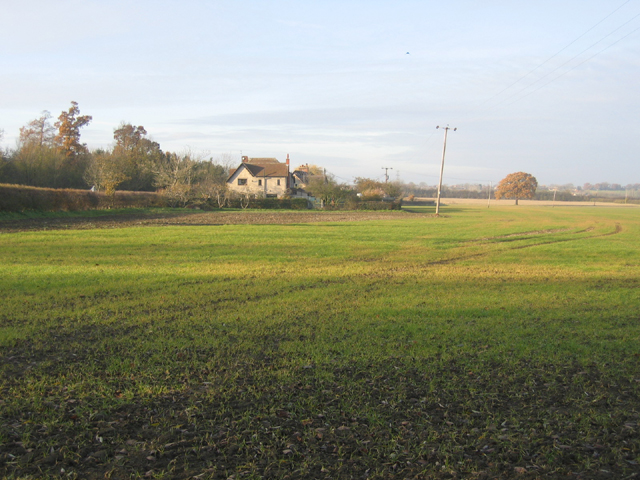
Burnt Farm Plantation is a scenic woodland located in Cambridgeshire, England. Spanning over a vast area, it is a prominent forest that offers a tranquil retreat for nature enthusiasts and outdoor lovers. The plantation is situated near the village of Wood, providing a haven for wildlife and an idyllic setting for visitors.
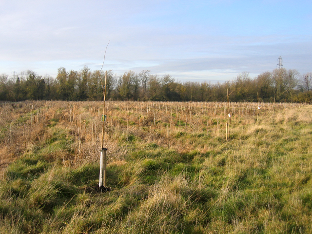
The forest boasts a diverse range of tree species, including oak, beech, and pine, which contribute to its rich biodiversity. Walking through the plantation, one can witness the beauty of the towering trees and their intertwining branches, creating a serene atmosphere. The forest floor is covered in a carpet of moss, creating a soft and cushioned path for hikers and explorers.
Burnt Farm Plantation is home to various wildlife species, making it a popular spot for birdwatching and nature photography. Visitors can expect to encounter a variety of bird species such as woodpeckers, owls, and robins. Additionally, the forest provides habitats for mammals like deer, squirrels, and rabbits, adding to the natural charm of the area.
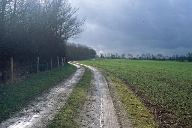
The plantation offers a network of well-maintained trails and pathways, making it accessible for all levels of outdoor enthusiasts. Whether one is seeking a leisurely stroll or a more challenging hike, Burnt Farm Plantation has something to offer. Along the trails, visitors can appreciate the picturesque views, lush vegetation, and the soothing sound of chirping birds.
Overall, Burnt Farm Plantation in Cambridgeshire is a captivating woodland that allows visitors to immerse themselves in the beauty of nature. With its diverse flora and fauna, well-established trails, and peaceful ambiance, it is an ideal destination for those seeking a rejuvenating experience in the heart of the English countryside.
If you have any feedback on the listing, please let us know in the comments section below.
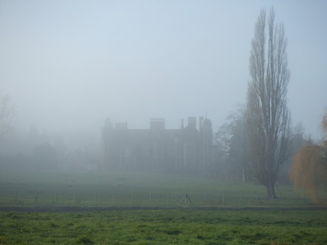
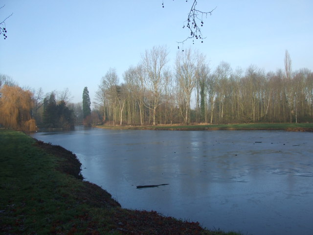
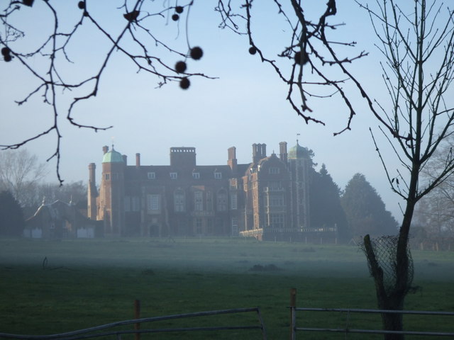
Burnt Farm Plantation Images
Images are sourced within 2km of 52.226452/0.046837137 or Grid Reference TL3960. Thanks to Geograph Open Source API. All images are credited.


Burnt Farm Plantation is located at Grid Ref: TL3960 (Lat: 52.226452, Lng: 0.046837137)
Administrative County: Cambridgeshire
District: South Cambridgeshire
Police Authority: Cambridgeshire
What 3 Words
///beard.saving.kings. Near Girton, Cambridgeshire
Related Wikis
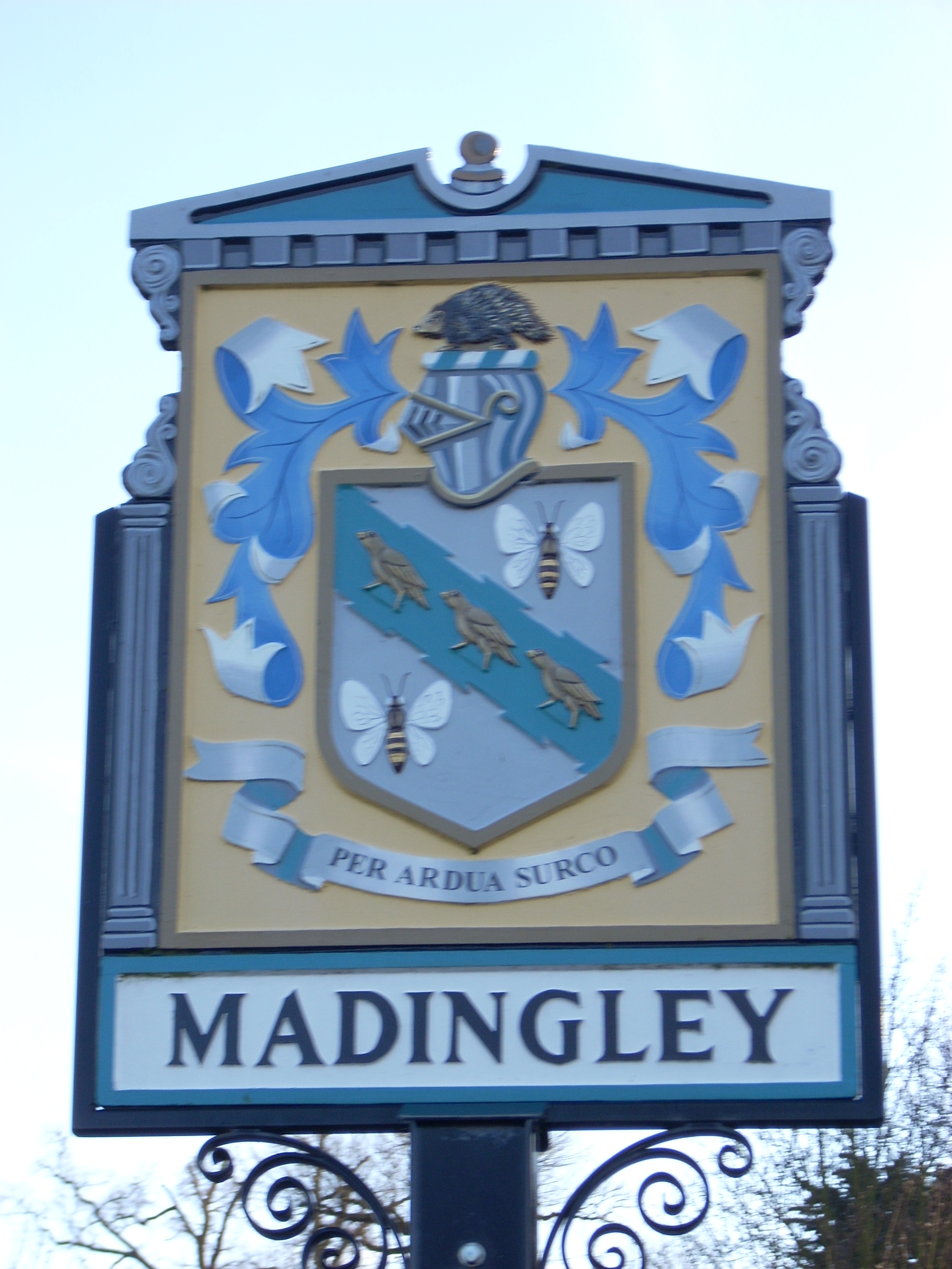
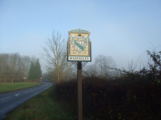
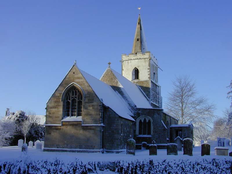
Madingley
Madingley is a small village near Cambridge, England. It is located close to the nearby villages of Coton and Dry Drayton on the western outskirts of Cambridge...

University of Cambridge Institute of Continuing Education
The University of Cambridge Institute of Continuing Education (ICE) is a department of the University of Cambridge dedicated to providing continuing education...

Madingley Wood
Madingley Wood is a 15.4-hectare (38-acre) biological Site of Special Scientific Interest near Madingley, on the western outskirts of Cambridge.The western...

Cambridge American Cemetery and Memorial
Cambridge American Cemetery and Memorial is a World War II American military war grave cemetery, located between the villages of Coton and Madingley, 7...
Coton, Cambridgeshire
Coton is a small village and civil parish about three miles (about 5 km) west of Cambridge in Cambridgeshire, England and about the same distance east...

Dry Drayton
Dry Drayton is a village and civil parish about 5 miles (8 km) northwest of Cambridge in Cambridgeshire, England, listed as Draitone in the Domesday Book...

Girton College, Cambridge
Girton College is one of the 31 constituent colleges of the University of Cambridge. The college was established in 1869 by Emily Davies and Barbara Bodichon...

Huntingdon Road
Huntingdon Road is a major arterial road linking central Cambridge, England with Junction 14 of the M11 motorway and the A14 northwest from the city centre...
Related Videos


Let me show you around Cambridge in England
This is a a day out having fun and appreciating the city of Cambridge. Cambridge is such a nice place to live with so many nature ...
Nearby Amenities
Located within 500m of 52.226452,0.046837137Have you been to Burnt Farm Plantation?
Leave your review of Burnt Farm Plantation below (or comments, questions and feedback).