Fishpond Plantation
Wood, Forest in Cambridgeshire South Cambridgeshire
England
Fishpond Plantation

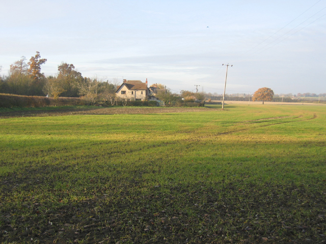
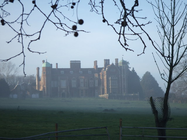
Fishpond Plantation is a picturesque woodland located in Cambridgeshire, England. Spread across a sprawling area, the plantation is known for its diverse range of trees and natural beauty. It is situated near the village of Wood and is a popular destination for nature enthusiasts and outdoor enthusiasts alike.
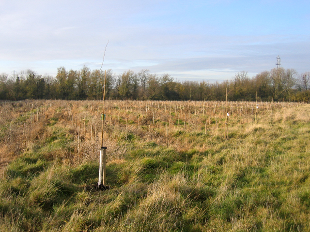
The woodland is predominantly made up of a mix of deciduous and coniferous trees, creating a stunning display of colors throughout the seasons. Oak, beech, and birch trees are among the prominent species found in the plantation, adding to its charm and ecological significance. The forest floor is adorned with a carpet of wildflowers, creating a vibrant and enchanting atmosphere.
Fishpond Plantation is also home to a variety of wildlife, making it a haven for nature lovers. Visitors can spot a range of bird species, including woodpeckers, owls, and various songbirds. Small mammals such as squirrels, foxes, and rabbits can also be observed in their natural habitat.
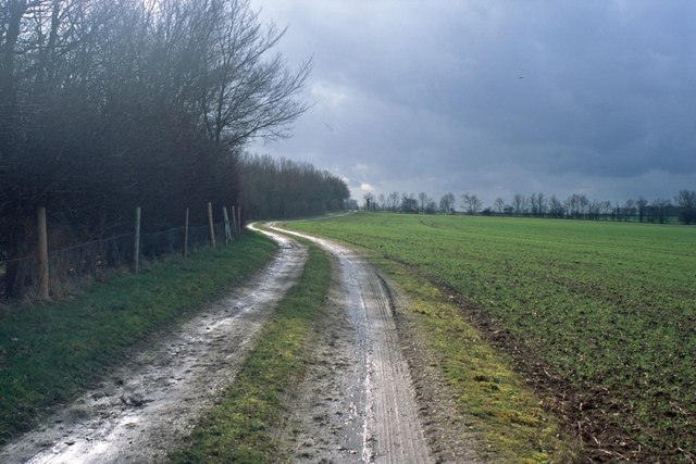
The plantation offers several walking trails and pathways, allowing visitors to explore the woodland at their own pace. These trails are well-maintained and provide opportunities for peaceful walks, picnics, and photography. The serene environment of Fishpond Plantation makes it an ideal place for relaxation and rejuvenation, away from the hustle and bustle of urban life.
Overall, Fishpond Plantation in Cambridgeshire is a captivating woodland that offers a rich tapestry of natural beauty, diverse flora, and fauna. It is a place where visitors can immerse themselves in the wonders of nature and enjoy a tranquil escape from their daily routine.
If you have any feedback on the listing, please let us know in the comments section below.
Fishpond Plantation Images
Images are sourced within 2km of 52.225391/0.041619712 or Grid Reference TL3960. Thanks to Geograph Open Source API. All images are credited.


Fishpond Plantation is located at Grid Ref: TL3960 (Lat: 52.225391, Lng: 0.041619712)
Administrative County: Cambridgeshire
District: South Cambridgeshire
Police Authority: Cambridgeshire
What 3 Words
///consoles.twit.propose. Near Bar Hill, Cambridgeshire
Nearby Locations
Related Wikis
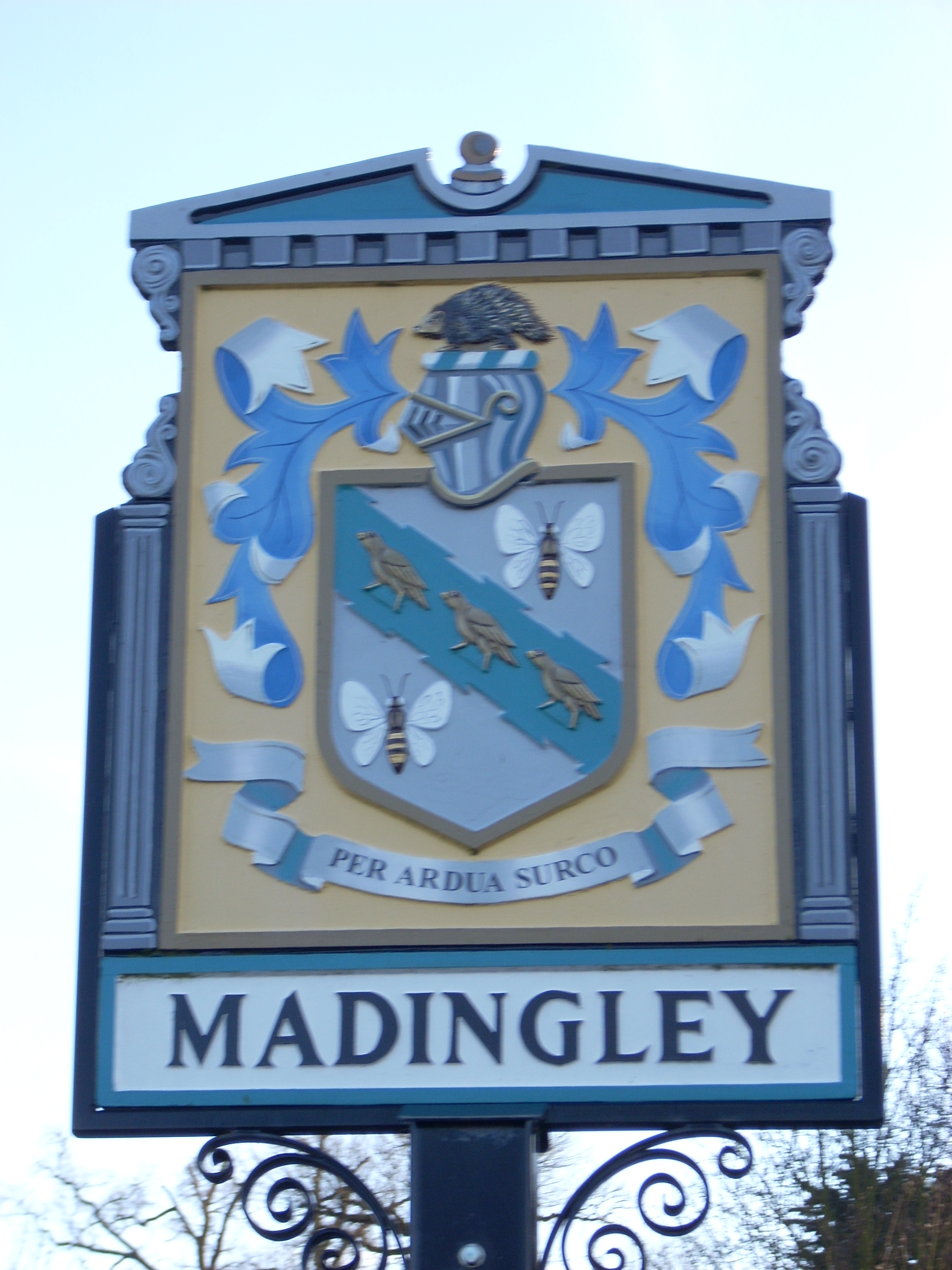
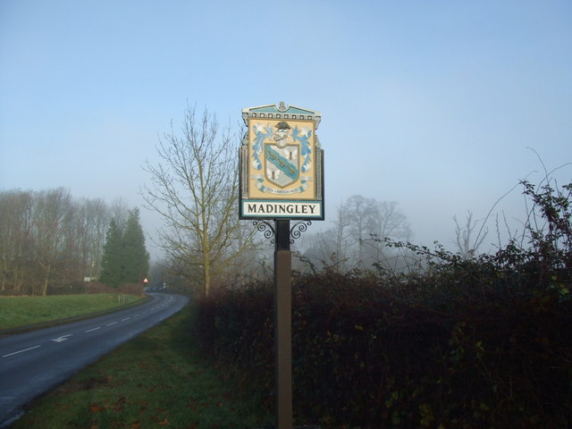
Madingley
Madingley is a small village near Cambridge, England. It is located close to the nearby villages of Coton and Dry Drayton on the western outskirts of Cambridge...

University of Cambridge Institute of Continuing Education
The University of Cambridge Institute of Continuing Education (ICE) is a department of the University of Cambridge dedicated to providing continuing education...

Madingley Wood
Madingley Wood is a 15.4-hectare (38-acre) biological Site of Special Scientific Interest near Madingley, on the western outskirts of Cambridge.The western...

Cambridge American Cemetery and Memorial
Cambridge American Cemetery and Memorial is a World War II American military war grave cemetery, located between the villages of Coton and Madingley, 7...

Dry Drayton
Dry Drayton is a village and civil parish about 5 miles (8 km) northwest of Cambridge in Cambridgeshire, England, listed as Draitone in the Domesday Book...

Coton, Cambridgeshire
Coton is a small village and civil parish about three miles (about 5 km) west of Cambridge in Cambridgeshire, England and about the same distance east...

Hardwick, Cambridgeshire
Hardwick is a village and civil parish in the county of Cambridgeshire, England with a large housing estate located about 6 miles (9.7 km) west of the...

Huntingdon Road
Huntingdon Road is a major arterial road linking central Cambridge, England with Junction 14 of the M11 motorway and the A14 northwest from the city centre...
Nearby Amenities
Located within 500m of 52.225391,0.041619712Have you been to Fishpond Plantation?
Leave your review of Fishpond Plantation below (or comments, questions and feedback).