Ice House Plantation

Wood, Forest in Cambridgeshire South Cambridgeshire

England

Ice House Plantation

Madingley, St Mary Magdalene <span class="nowrap"><a title="http://www.druidic.org/camchurch/churches/madingley.htm" rel="nofollow ugc noopener" href="http://www.druidic.org/camchurch/churches/madingley.htm">Link</a><img style="margin-left:2px;" alt="External link" title="External link - shift click to open in new window" src="https://s1.geograph.org.uk/img/external.png" width="10" height="10"/></span>
Madingley, St Mary Magdalene Credit: mym

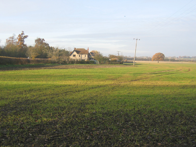
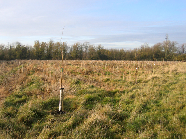
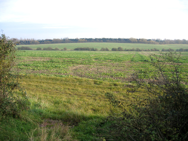
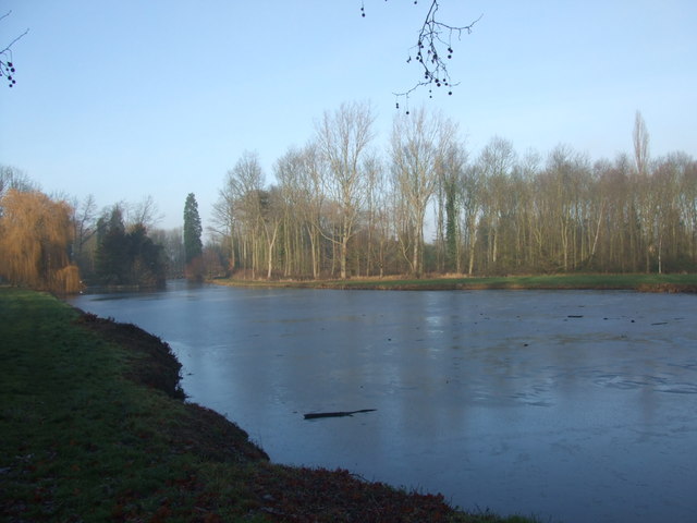
Ice House Plantation is a picturesque woodland located in Cambridgeshire, England. Spanning over vast acres, the plantation is known for its dense and diverse forest cover, making it a haven for nature enthusiasts and wildlife. The woodland is situated in close proximity to the village of Wood and is easily accessible to visitors.

The plantation gets its name from the presence of an ancient ice house, which was historically used to store ice during warmer months. This unique feature adds to the historical charm of the area and serves as a reminder of the region's past.

The woodland is characterized by its mature trees, including oaks, beeches, and birches, which create a lush and vibrant atmosphere. These trees provide a habitat for a wide range of wildlife, including various bird species, squirrels, and deer. Nature lovers can enjoy peaceful walks along the well-maintained trails, taking in the beauty of the natural surroundings.

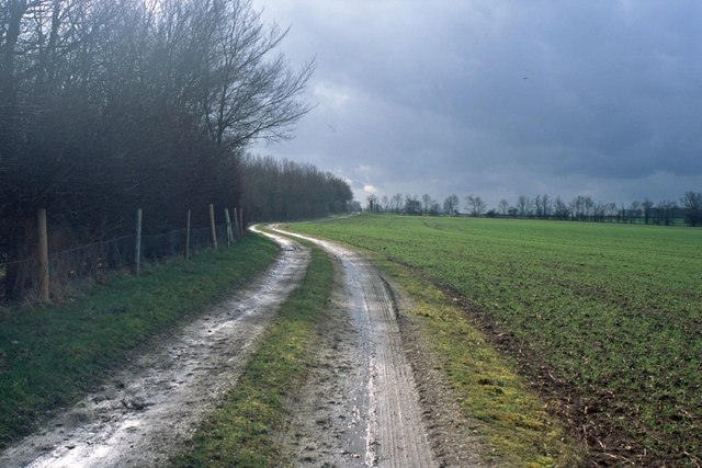
Ice House Plantation offers a tranquil escape from the hustle and bustle of city life. The serenity of the woodland is enhanced by the absence of any major roads or infrastructure nearby, creating a truly immersive experience in nature. Visitors can engage in activities such as birdwatching, photography, or simply enjoying a picnic amidst the tranquil setting.

Overall, Ice House Plantation in Cambridgeshire is a hidden gem for nature enthusiasts, offering a glimpse into the region's rich natural heritage. Its picturesque beauty, diverse flora, and fauna make it an ideal destination for those seeking a peaceful retreat in the heart of the woodlands.

If you have any feedback on the listing, please let us know in the comments section below.

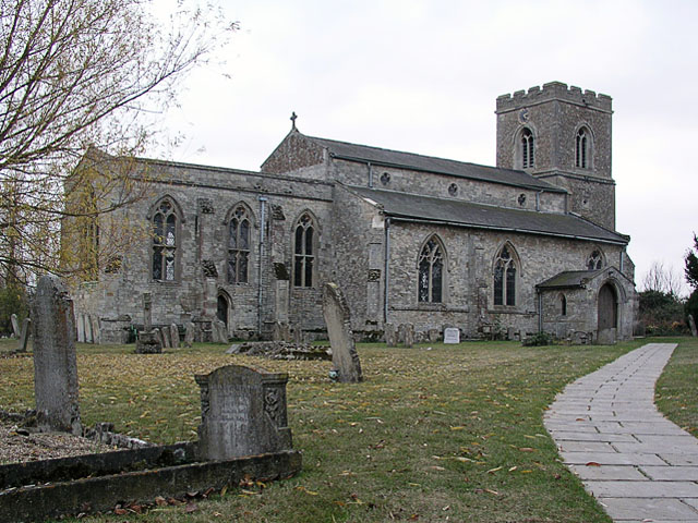
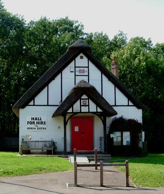
Ice House Plantation Images

Images are sourced within 2km of 52.223785/0.034649883 or Grid Reference TL3960. Thanks to Geograph Open Source API. All images are credited.

Madingley, St Mary Magdalene <span class="nowrap"><a title="http://www.druidic.org/camchurch/churches/madingley.htm" rel="nofollow ugc noopener" href="http://www.druidic.org/camchurch/churches/madingley.htm">Link</a><img style="margin-left:2px;" alt="External link" title="External link - shift click to open in new window" src="https://s1.geograph.org.uk/img/external.png" width="10" height="10"/></span>
Madingley, St Mary Magdalene
Dry Drayton, SS Peter and Paul <span class="nowrap"><a title="http://www.druidic.org/camchurch/churches/drydrayton.htm" rel="nofollow ugc noopener" href="http://www.druidic.org/camchurch/churches/drydrayton.htm">Link</a><img style="margin-left:2px;" alt="External link" title="External link - shift click to open in new window" src="https://s1.geograph.org.uk/img/external.png" width="10" height="10"/></span>
Dry Drayton, SS Peter and Paul
“Things You’d Not Believe in Madingley” Not something you see everyday, a thatched village hall. I wonder if Rupert Brooke ever went to a wild party there one Christmas eve? Probably not…see <span class="nowrap"><a title="http://www.poetsgraves.co.uk/Classic%20Poems/Brooke/grantchester.htm" rel="nofollow ugc noopener" href="http://www.poetsgraves.co.uk/Classic%20Poems/Brooke/grantchester.htm">Link</a><img style="margin-left:2px;" alt="External link" title="External link - shift click to open in new window" src="https://s1.geograph.org.uk/img/external.png" width="10" height="10"/></span> to catch the full quote.
“Things You’d Not Believe in Madingley”
Not something you see everyday, a thatched village hall. I wonder if Rupert Brooke ever went to a wild party there one Christmas eve? Probably not…see LinkExternal link to catch the full quote.
Farmland and cottages, Madingley, Cambs – view NW, from the bridlepath, of New Farm and cottages on the Dry Drayton Road.
Farmland and cottages, Madingley, Cambs
– view NW, from the bridlepath, of New Farm and cottages on the Dry Drayton Road.
New plantation, Dry Drayton, Cambs – in neat rows, just north of Madingley Road.
New plantation, Dry Drayton, Cambs
– in neat rows, just north of Madingley Road.
Callow Brook valley, Dry Drayton, Cambs – view E across the northern edge of the square from Scotland Road.
Callow Brook valley, Dry Drayton, Cambs
– view E across the northern edge of the square from Scotland Road.
Track from New Farm to Park Farm This track lies adjacent to the long shelter bed planted at the boundary of the original Madingley Hall estate.
Track from New Farm to Park Farm
This track lies adjacent to the long shelter bed planted at the boundary of the original Madingley Hall estate.
Scratch sundial on Madingley church This dial is located on the outside East wall of the chancel (a location where it could never have worked and therefore must have been moved at some point).
Scratch sundial on Madingley church
This dial is located on the outside East wall of the chancel (a location where it could never have worked and therefore must have been moved at some point).
Madingley Hall in the mist
Madingley village sign
Madingley Hall, the iron gates
Madingley village mini roundabout
Madingley Hall, the lake The lake was frozen, with the Sun just starting to break through the mist.
Madingley Hall, the lake
The lake was frozen, with the Sun just starting to break through the mist.
Madingley Hall,  East Front
Madingley Hall, East Front
Bridleway from Madingley to the Huntingdon Road There are some very fine trees along the field edge.  They probably mark a boundary of the Madingley estate in former years.
Bridleway from Madingley to the Huntingdon Road
There are some very fine trees along the field edge. They probably mark a boundary of the Madingley estate in former years.
Church of St Mary Magdalene, Madingley
Madingley Hall, East front
Show me another place!

Ice House Plantation is located at Grid Ref: TL3960 (Lat: 52.223785, Lng: 0.034649883)

Administrative County: Cambridgeshire

District: South Cambridgeshire

Police Authority: Cambridgeshire

What 3 Words

///coaster.mascot.rural. Near Bar Hill, Cambridgeshire

Related Wikis

University of Cambridge Institute of Continuing Education

The University of Cambridge Institute of Continuing Education (ICE) is a department of the University of Cambridge dedicated to providing continuing education...
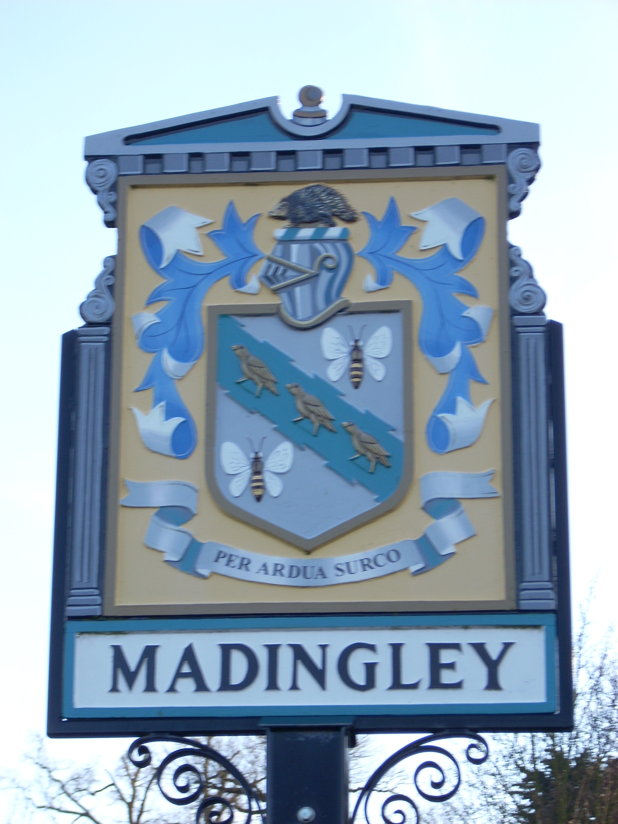
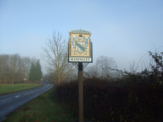
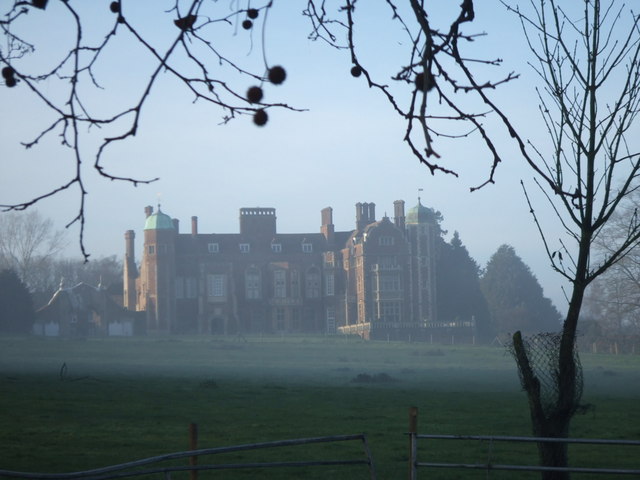
Madingley

Madingley is a small village near Cambridge, England. It is located close to the nearby villages of Coton and Dry Drayton on the western outskirts of Cambridge...

Madingley Wood

Madingley Wood is a 15.4-hectare (38-acre) biological Site of Special Scientific Interest near Madingley, on the western outskirts of Cambridge.The western...

Cambridge American Cemetery and Memorial

Cambridge American Cemetery and Memorial is a World War II American military war grave cemetery, located between the villages of Coton and Madingley, 7...

Dry Drayton

Dry Drayton is a village and civil parish about 5 miles (8 km) northwest of Cambridge in Cambridgeshire, England, listed as Draitone in the Domesday Book...

Hardwick, Cambridgeshire

Hardwick is a village and civil parish in the county of Cambridgeshire, England with a large housing estate located about 6 miles (9.7 km) west of the...

Coton, Cambridgeshire

Coton is a small village and civil parish about three miles (about 5 km) west of Cambridge in Cambridgeshire, England and about the same distance east...

Huntingdon Road

Huntingdon Road is a major arterial road linking central Cambridge, England with Junction 14 of the M11 motorway and the A14 northwest from the city centre...

Nearby Amenities

Located within 500m of 52.223785,0.034649883
Mini Roundabout
Direction: clockwise
Lat/Long: 52.2238357/0.0417776
Post Box
Collection Times: Mo-Fr 09:00; Sa 07:00
Operator: Royal Mail
Post Box Type: pillar
Ref: CB3 433D
Royal Cypher: EIIR
Royal Cypher Wikidata: Q33102113
Source: survey
Lat/Long: 52.2239491/0.0417276
Bus Stop
Church Lane
Bus: yes
Naptan AtcoCode: 0500SMADI003
Naptan Bearing: NE
Naptan CommonName: Church Lane
Naptan Indicator: near
Naptan Landmark: Cambridge Road
Naptan NaptanCode: cmbgajgw
Naptan PlusbusZoneRef: CAMBDGE
Naptan ShortCommonName: Church Lane
Naptan Street: High Street
Naptan Verified: no
Public Transport: platform
Source: naptan_import
Lat/Long: 52.2239974/0.0419536
Barrier: stile
Lat/Long: 52.2253405/0.0390405
Barrier: stile
Lat/Long: 52.2257571/0.0391671
Entrance: main
Operator: University of Cambridge
Ref: F096-A
Lat/Long: 52.2247543/0.0376524
Entrance: secondary
Operator: University of Cambridge
Ref: F097-A
Lat/Long: 52.2247658/0.0366598
Entrance: secondary
Operator: University of Cambridge
Ref: F096-B
Lat/Long: 52.2248867/0.0376756
Defibrillator
Access: private
Defibrillator Location: Madingley Hall, Reception on back wall just inside of main entrance
Emergency: defibrillator
Indoor: yes
Operator: University of Cambridge
Ref: F096
Lat/Long: 52.2247713/0.0375384
Bench
Backrest: yes
Material: wood
Lat/Long: 52.2239997/0.0417518
Bench
Backrest: yes
Fixme: Location v approximate
Lat/Long: 52.2249078/0.0412086
Bicycle Parking
Capacity: 10
Lat/Long: 52.2248663/0.0378788
Leisure: picnic_table
Lat/Long: 52.2242025/0.036881
Bench
Lat/Long: 52.2245303/0.0370976
Bench
Lat/Long: 52.224488/0.0374758
Shelter
Lat/Long: 52.2244728/0.0375845
Bench
Lat/Long: 52.2239729/0.0374852
Bench
Lat/Long: 52.2241078/0.0371737
Power: substation
Lat/Long: 52.2250655/0.0362715
Bench
Note: the tree has benches around its trunk
Lat/Long: 52.2253473/0.0367992
Bench
Lat/Long: 52.2252615/0.0369313
Bench
Lat/Long: 52.225574/0.0391542
Leisure: picnic_table
Lat/Long: 52.2250096/0.0382114
Bench
John's Bench
Lat/Long: 52.2260308/0.0378346
Board Type: notice
Information: board
Tourism: information
Lat/Long: 52.2257559/0.0391628
Bench
Lat/Long: 52.2258533/0.0385152
Board Type: notice
Information: board
Tourism: information
Lat/Long: 52.2255104/0.0409667
Fountain
Lat/Long: 52.2252118/0.0382295
Barrier: stile
Lat/Long: 52.2261432/0.0380675
Bench
Backrest: yes
Material: wood
Lat/Long: 52.2233516/0.0406472
Bench
Backrest: yes
Material: wood
Lat/Long: 52.2236272/0.0418609
Leisure: picnic_table
Material: wood
Lat/Long: 52.2236224/0.0417352
Shelter
Lat/Long: 52.2241577/0.0372519
Grit Bin
Lat/Long: 52.2228039/0.0414884
The data included in this document is from www.openstreetmap.org. The data is made available under ODbL.

Have you been to Ice House Plantation?

Leave your review of Ice House Plantation below (or comments, questions and feedback).