Bushleys Grove
Wood, Forest in Hertfordshire East Hertfordshire
England
Bushleys Grove

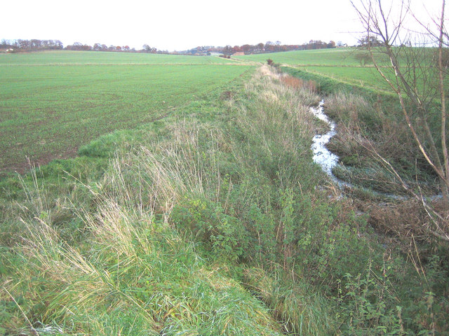
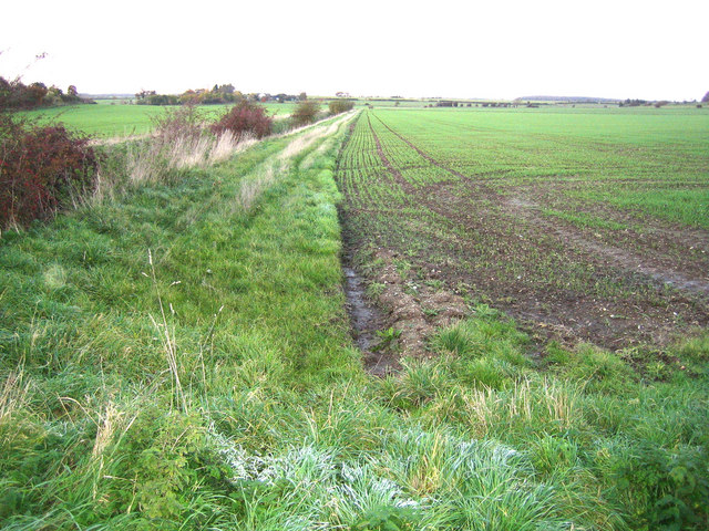
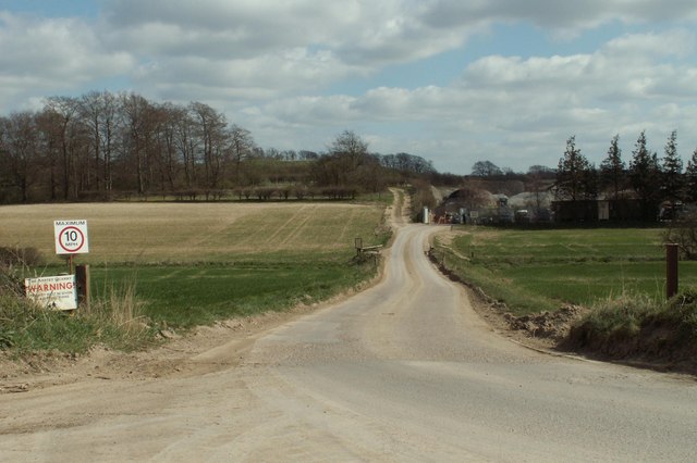
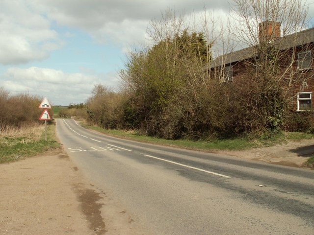
Bushleys Grove is a picturesque woodland area located in Hertfordshire, England. Nestled in the heart of the county, this tranquil forest is a haven for nature lovers and outdoor enthusiasts alike. With its lush greenery, diverse flora, and abundant wildlife, Bushleys Grove offers a serene escape from the bustling city life.
Covering an area of approximately 100 acres, the grove is predominantly composed of ancient woodlands, with some parts dating back hundreds of years. The towering trees, including oak, beech, and ash, create a dense canopy that provides shelter and habitat for a wide variety of birds, mammals, and insects. Visitors can spot species such as deer, squirrels, and various types of woodland birds as they explore the forest trails.
The grove is crisscrossed by a network of well-maintained footpaths, making it accessible for walkers, hikers, and joggers. These paths wind through the woodland, offering glimpses of babbling brooks, small ponds, and hidden clearings along the way. The forest also features picnic areas and benches, providing visitors with the opportunity to relax and enjoy the peaceful surroundings.
Bushleys Grove is a popular destination for families, nature enthusiasts, and photographers, offering endless opportunities to capture the beauty of the natural landscape. It is also an important site for conservation efforts, as it supports a rich biodiversity and provides a crucial habitat for endangered species.
Overall, Bushleys Grove is a cherished natural gem in Hertfordshire, offering visitors a chance to immerse themselves in the beauty and tranquility of a thriving woodland ecosystem.
If you have any feedback on the listing, please let us know in the comments section below.
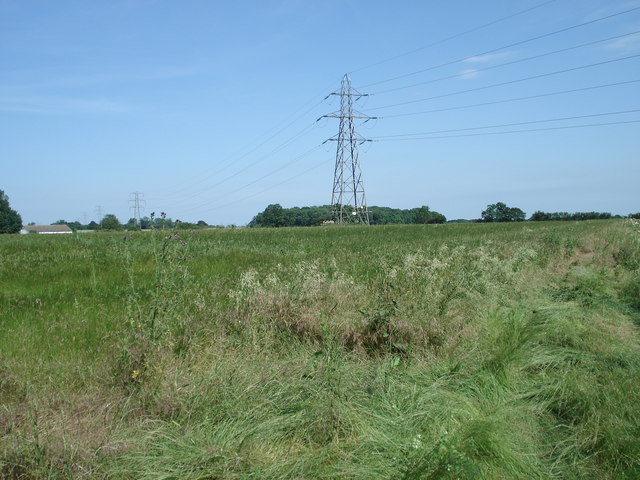
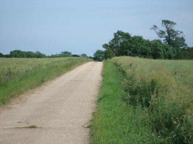
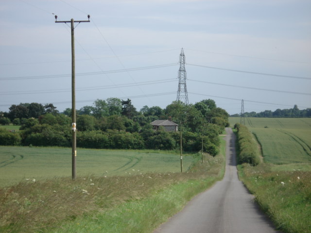
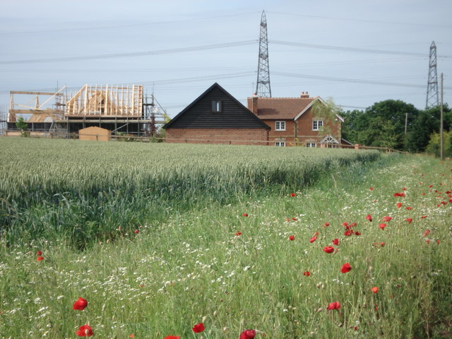
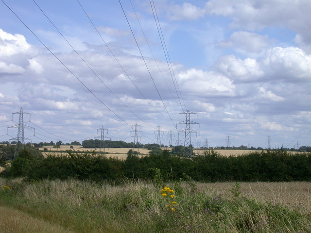
Bushleys Grove Images
Images are sourced within 2km of 51.966363/0.014846392 or Grid Reference TL3831. Thanks to Geograph Open Source API. All images are credited.


Bushleys Grove is located at Grid Ref: TL3831 (Lat: 51.966363, Lng: 0.014846392)
Administrative County: Hertfordshire
District: East Hertfordshire
Police Authority: Hertfordshire
What 3 Words
///rejoined.pleasing.limbs. Near Buntingford, Hertfordshire
Nearby Locations
Related Wikis
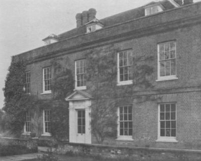
Hare Street House
Hare Street House is a Grade II* listed building in the hamlet of Hare Street that lies between Buntingford and Great Hormead in the East Hertfordshire...

Wyddial
Wyddial is a village and civil parish in the East Hertfordshire district of Hertfordshire, England. It is located around a mile and a half north-east of...

Anstey, Hertfordshire
Anstey is a village and civil parish in the East Hertfordshire district of Hertfordshire, England, about 15 miles (24 km) northeast of Stevenage. According...

Anstey Castle
Anstey Castle was in the village of Anstey, Hertfordshire. It was a 12th-century stone motte and bailey fortress that, according to tradition, was founded...

Hormead
Hormead is a civil parish in Hertfordshire, England. It comprises the villages of Great Hormead and Little Hormead and the hamlet of Hare Street and lies...
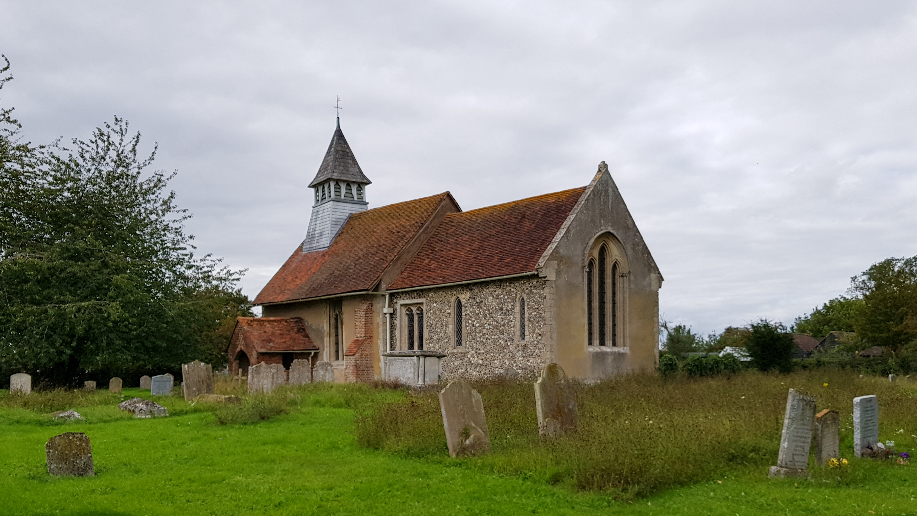
St Mary's Church, Little Hormead
St Mary's Church is a redundant Anglican church in the village of Little Hormead, Hertfordshire, England. It is recorded in the National Heritage List...

Chipping, Hertfordshire
Chipping is a hamlet in the civil parish of Buckland in the East Hertfordshire district, in the county of Hertfordshire, England. Situated along the A10...

Buckland, Hertfordshire
Buckland is a village and civil parish in the East Hertfordshire district of Hertfordshire, England. The village is situated on the A10 road, with the...
Nearby Amenities
Located within 500m of 51.966363,0.014846392Have you been to Bushleys Grove?
Leave your review of Bushleys Grove below (or comments, questions and feedback).