Ardenrun Shaw
Wood, Forest in Surrey Tandridge
England
Ardenrun Shaw

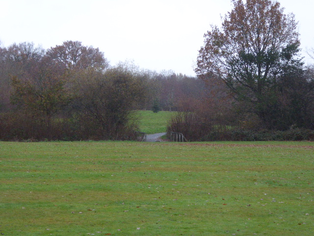
Ardenrun Shaw is a picturesque woodland area located in Surrey, England. Situated in the heart of the Surrey Hills Area of Outstanding Natural Beauty, this enchanting forest covers an area of approximately 100 hectares. The woodland is named after the Ardenrun stream that flows through it, creating a serene and tranquil atmosphere.
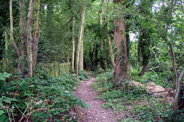
Ardenrun Shaw is known for its diverse range of flora and fauna, making it a haven for nature enthusiasts and wildlife lovers. The forest is home to a variety of tree species, including oak, beech, and birch, which form a dense canopy overhead. This creates a shaded environment, perfect for leisurely walks or picnics on a sunny day.
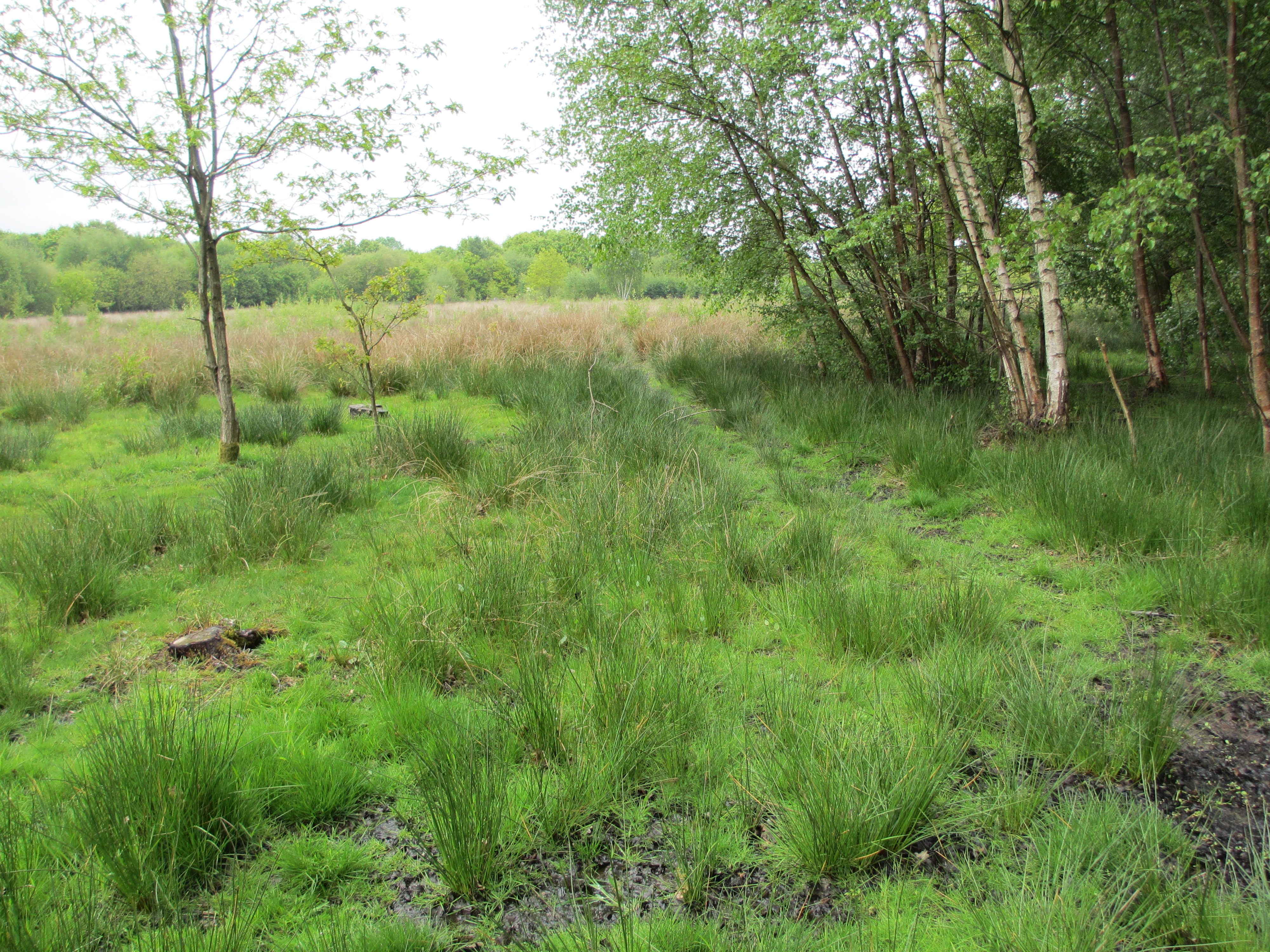
The forest floor is carpeted with a rich tapestry of wildflowers, further adding to the area's natural beauty. Bluebells, primroses, and wood anemones are just a few of the many species that bloom here, creating a vibrant and colorful display during the spring months.
Ardenrun Shaw is also home to a wide range of wildlife. Deer, foxes, and badgers can often be spotted roaming the forest, while birdwatchers can enjoy the sight of various species, including woodpeckers and owls.
The woodland is crisscrossed with numerous footpaths, inviting visitors to explore its hidden corners and discover its hidden gems. These pathways provide stunning views of the surrounding countryside, as well as access to other nearby attractions, such as the charming village of Shere.
Overall, Ardenrun Shaw offers a peaceful and idyllic escape from the hustle and bustle of everyday life, making it a popular destination for nature lovers and those seeking tranquility in the heart of Surrey.
If you have any feedback on the listing, please let us know in the comments section below.
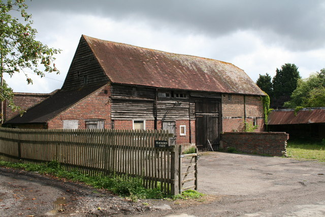
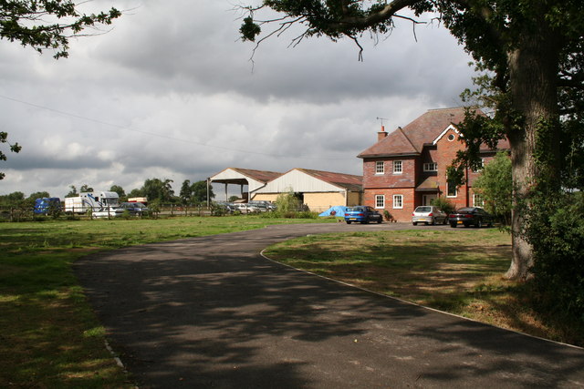
Ardenrun Shaw Images
Images are sourced within 2km of 51.194242/-0.018992014 or Grid Reference TQ3845. Thanks to Geograph Open Source API. All images are credited.


Ardenrun Shaw is located at Grid Ref: TQ3845 (Lat: 51.194242, Lng: -0.018992014)
Administrative County: Surrey
District: Tandridge
Police Authority: Surrey
What 3 Words
///serve.pops.packet. Near Lingfield, Surrey
Nearby Locations
Related Wikis

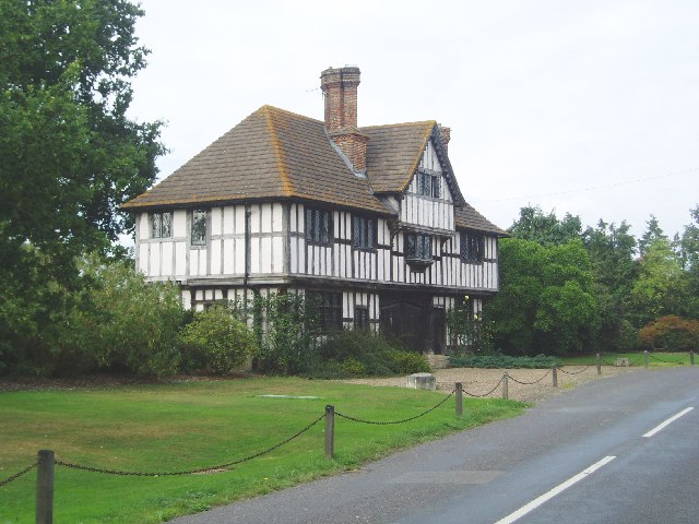
Crowhurst Place
Crowhurst Place, Crowhurst, Surrey, England is a medieval hall house dating from the early 15th century. In the 20th century, the house was reconstructed...
Lingfield Wildlife Area
Lingfield Wildlife Area is a 6.3-hectare (16-acre) Local Nature Reserve in Lingfield in Surrey. It is owned by Tandridge District Council and managed...
Crowhurst, Surrey
Crowhurst is a village and civil parish in the Tandridge district of Surrey, England. The nearest town is Oxted, 3 miles (5 km) to the north. Rated two...

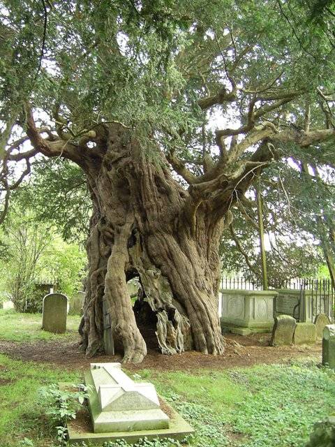
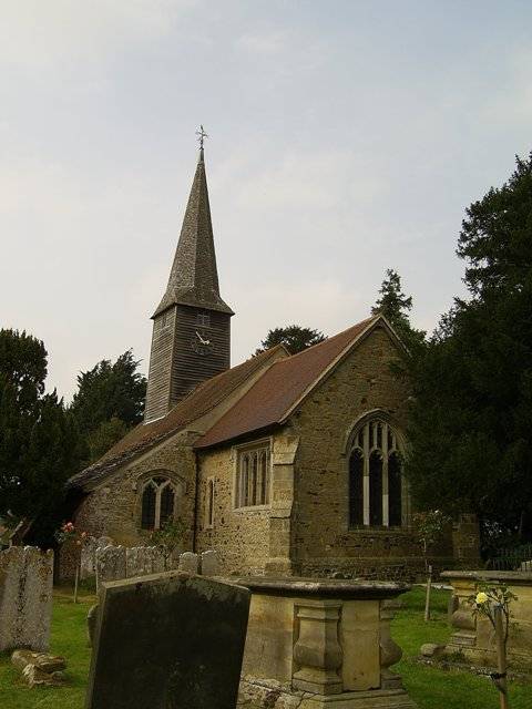
Crowhurst Yew
The Crowhurst Yew is a yew tree in the churchyard of St George's Church in Crowhurst, Surrey, England. It is thought to be about 4,000 years old. Its girth...

Lingfield F.C.
Lingfield Football Club are a football club based in the village of Lingfield, near East Grinstead, Surrey, England. The club is affiliated to the Surrey...

Centenary Fields
Centenary Fields is a 4.2-hectare (10-acre) Local Nature Reserve in Lingfield in Surrey. It is owned by Lingfield Parish Council and managed by Lingfield...
Blindley Heath SSSI
Blindley Heath SSSI is a 26.3-hectare (65-acre) biological Site of Special Scientific Interest in the hamlet Blindley Heath, on the southern outskirts...

Lingfield, Surrey
Lingfield is a village and civil parish in the Tandridge district of Surrey, England, approximately 23 miles (37 km) south of London. Several buildings...
Nearby Amenities
Located within 500m of 51.194242,-0.018992014Have you been to Ardenrun Shaw?
Leave your review of Ardenrun Shaw below (or comments, questions and feedback).