Ewhurst Green

Settlement in Surrey Waverley

England

Ewhurst Green

Cricket Ground at Ewhurst Green
Cricket Ground at Ewhurst Green Credit: Chris Thomas-Atkin

Ewhurst Green is a picturesque village located in the county of Surrey, England. Situated in the Weald, a rural area known for its rolling hills and lush countryside, Ewhurst Green offers a peaceful and idyllic setting for its residents and visitors.

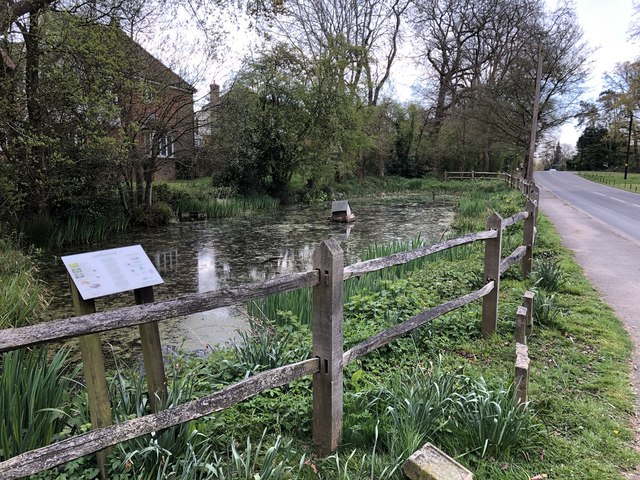
The village is characterized by its charming traditional cottages, many of which date back several centuries. The local church, St. Peter and St. Paul, is a prominent feature, with its striking architecture and historic significance. Ewhurst Green is also home to a primary school, providing education for the local community.

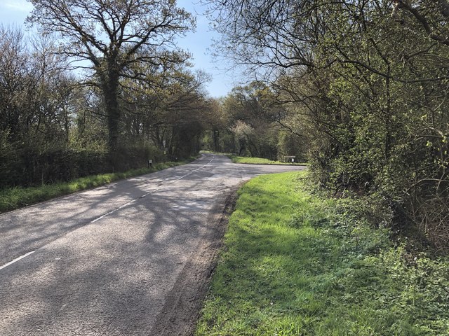
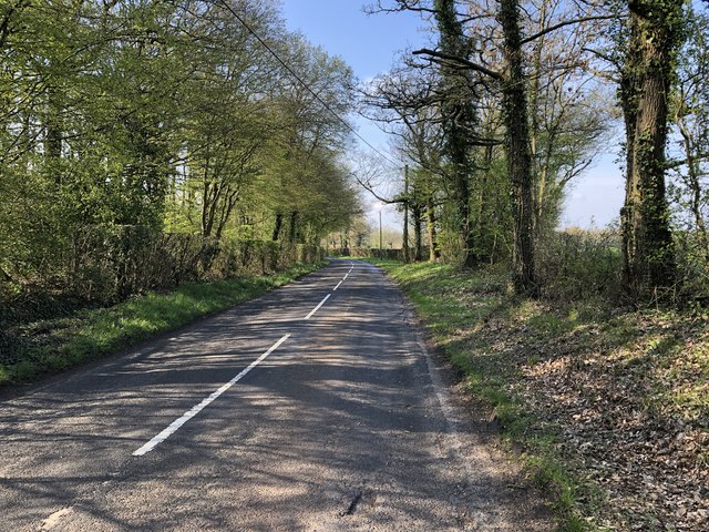
Surrounded by beautiful countryside, the village offers numerous opportunities for outdoor activities. Walking and cycling trails are abundant, allowing residents and tourists to explore the stunning natural surroundings. The nearby Surrey Hills Area of Outstanding Natural Beauty is a popular destination for nature lovers and offers breathtaking views of the landscape.

Despite its rural location, Ewhurst Green benefits from excellent transport links. The village is conveniently located near the A24, providing easy access to nearby towns and cities such as Guildford and Horsham. The nearest train station is located in nearby Ockley, offering regular services to London and other major destinations.

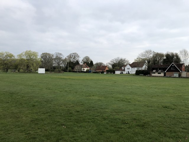
Ewhurst Green is a close-knit community, with a strong sense of community spirit. Local events and activities bring residents together, and the village pub serves as a popular meeting place. The village also boasts a cricket club, providing a hub for sports enthusiasts.

Overall, Ewhurst Green offers a charming and tranquil village lifestyle, with its beautiful surroundings, historic architecture, and strong community spirit.

If you have any feedback on the listing, please let us know in the comments section below.

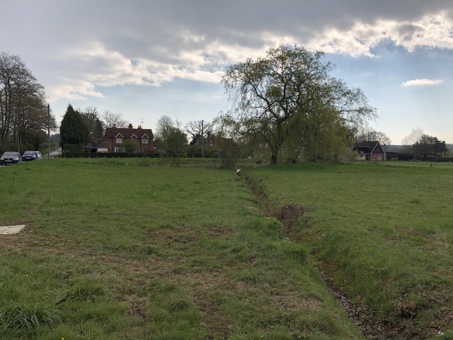
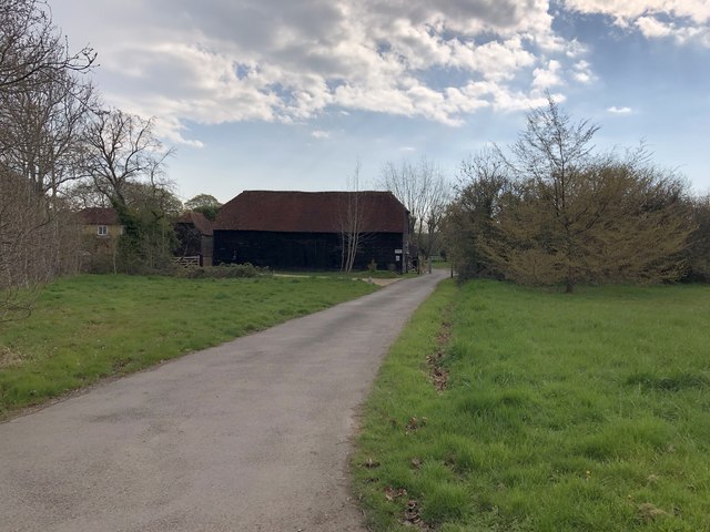
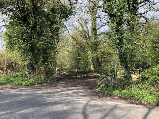
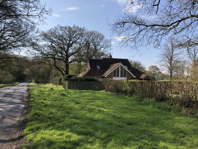
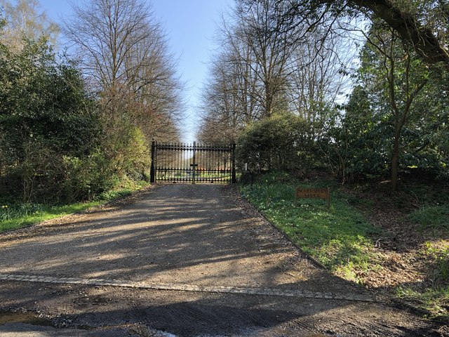
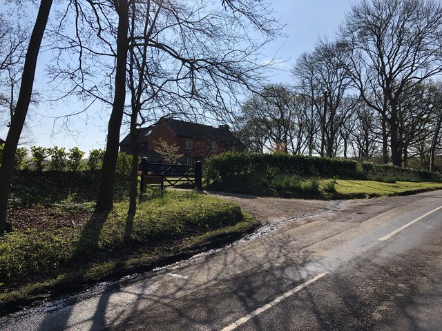
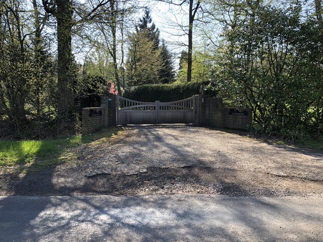
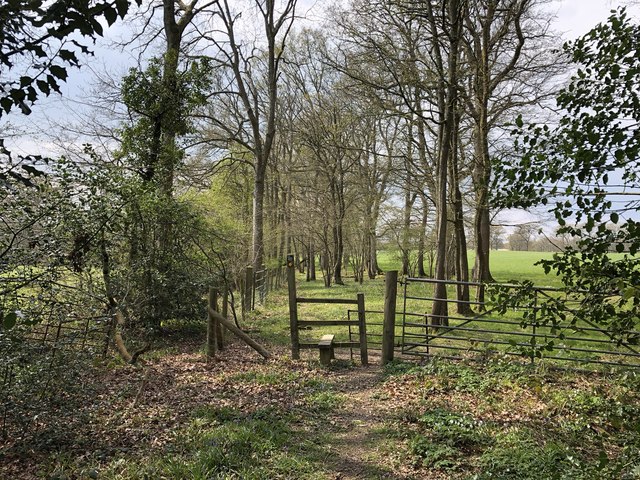
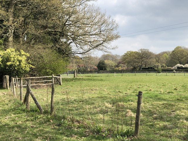
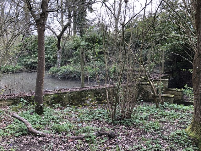
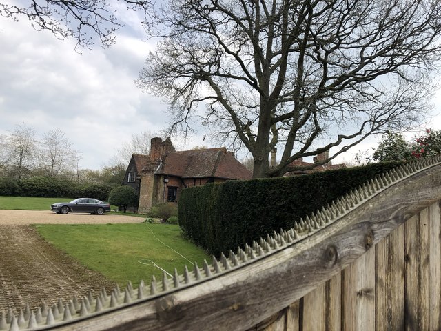
Ewhurst Green Images

Images are sourced within 2km of 51.141987/-0.434825 or Grid Reference TQ0939. Thanks to Geograph Open Source API. All images are credited.

Cricket Ground at Ewhurst Green
Approaching Somersbury Lane On The Green (lane) nearing the junction with Somersbury Lane leaving to the right. Beyond the junction it becomes Horsham Lane.
Approaching Somersbury Lane
On The Green (lane) nearing the junction with Somersbury Lane leaving to the right. Beyond the junction it becomes Horsham Lane.
Somersbury Lane Heading southwest on the lane near Collendene.
Somersbury Lane
Heading southwest on the lane near Collendene.
Bowles Farm The farm viewed from the passing public footpath.
Bowles Farm
The farm viewed from the passing public footpath.
Larkfield Pond A very well kept looking pond in Ewhurst
Larkfield Pond
A very well kept looking pond in Ewhurst
Pond near Ewhurst Cricket Ground In an earlier Geograph photo the pond was overgrown but it now seems to be cleared and being maintained.
Pond near Ewhurst Cricket Ground
In an earlier Geograph photo the pond was overgrown but it now seems to be cleared and being maintained.
Barn at Rumbeams Farm Rumbeams Farm is at Ewhurst Green and is visible from the passing road ‘The Green’.
Barn at Rumbeams Farm
Rumbeams Farm is at Ewhurst Green and is visible from the passing road ‘The Green’.
Path leaving Somersbury Lane The public footpath leaves the lane at a corner and heads along a ridgeway to Longhurst Hill.
Path leaving Somersbury Lane
The public footpath leaves the lane at a corner and heads along a ridgeway to Longhurst Hill.
House by the entrance to Coxland The house is possibly a former Lodge at the entrance to Coxland from Somersbury Lane.
House by the entrance to Coxland
The house is possibly a former Lodge at the entrance to Coxland from Somersbury Lane.
Entrance to Somersbury Manor The impressive gated entrance to Somersbury Manor. The Manor House is a Grade II listed building.
Entrance to Somersbury Manor
The impressive gated entrance to Somersbury Manor. The Manor House is a Grade II listed building.
Somersbury Cottage The cottage near Somersbury Manor viewed from Somersbury Lane.
Somersbury Cottage
The cottage near Somersbury Manor viewed from Somersbury Lane.
Entrance to Collendene
Passing unnamed woodland The public footpath passes alongside two areas of woodland which do not appear to be named.
Passing unnamed woodland
The public footpath passes alongside two areas of woodland which do not appear to be named.
Messy corner The public footpath continues through the gate ahead which proved to be difficult to open and the area in front is in a complete mess.
Messy corner
The public footpath continues through the gate ahead which proved to be difficult to open and the area in front is in a complete mess.
Stile and gate Approaching a field corner near Bowles Farm.
Stile and gate
Approaching a field corner near Bowles Farm.
Fields near Old House On the public footpath near to Old House.
Fields near Old House
On the public footpath near to Old House.
Ponds near Old House The last in a series of small artificially created ponds.
Ponds near Old House
The last in a series of small artificially created ponds.
Old House The property Old House viewed from the passing public footpath. The house is a Grade II listed building.
Old House
The property Old House viewed from the passing public footpath. The house is a Grade II listed building.
Show me another place!

Ewhurst Green is located at Grid Ref: TQ0939 (Lat: 51.141987, Lng: -0.434825)

Administrative County: Surrey

District: Waverley

Police Authority: Surrey

What 3 Words

///belief.hopefully.schematic. Near Ewhurst, Surrey

Nearby Locations

Ewhurst Ewhurst Green

Related Wikis

Ewhurst, Surrey

Ewhurst is a rural village and civil parish in the borough of Waverley in Surrey, England. It is located 8.3 miles (13.4 km) south-east of Guildford,...

Sayer's Croft LNR

Sayer's Croft is a 10.9-hectare (27-acre) Local Nature Reserve west of Ewhurst in Surrey. It is owned by the Sayer's Croft Environmental Education Trust...

Sayers Croft

Sayers Croft is a large outdoor 'learning camp' located in the village of Ewhurst, Surrey. It is one of the few remaining 'Camp schools' built by the National...

Longhurst Lodge

Longhurst Lodge is a Grade II listed building in Cranleigh, Surrey, England. It is located on the former Baynards Park estate, about a quarter of a mile...

Smokejack Clay Pit

Smokejack Clay Pit is a 56-hectare (140-acre) geological Site of Special Scientific Interest east of Cranleigh in Surrey. It is a Geological Conservation...

Wallis Wood

Wallis Wood is a 14-hectare (35-acre) nature reserve south-east of Ewhurst in Surrey. It is managed by the Surrey Wildlife Trust.A stream runs through...

Baynards Park

Baynards Park is a 2,000 acres (810 ha) estate and site of a demolished country house with extant outbuildings, privately owned, in the south of the parishes...

Marylands

Marylands is a Spanish-style country house on Pitch Hill, a rural part of Ewhurst, Surrey, England. It is a Grade II* listed building, designed during...

Nearby Amenities

Located within 500m of 51.141987,-0.434825
Ewhurst Green
Place: hamlet
Source: npe
Lat/Long: 51.144694/-0.4363729
Bus Stop
Ewhurst Green
Bus: yes
Naptan AtcoCode: 40004411948A
Naptan Bearing: NW
Naptan CommonName: Ewhurst Green
Naptan Indicator: Just after
Naptan Landmark: Ewhurst Green
Naptan NaptanCode: surgmpwj
Naptan Street: The Green
Naptan Verified: no
Physically Present: no
Public Transport: platform
Source: naptan_import
Lat/Long: 51.1455413/-0.4381562
Bus Stop
Ewhurst Green
Bus: yes
Naptan AtcoCode: 40004411950A
Naptan Bearing: SE
Naptan CommonName: Ewhurst Green
Naptan Indicator: Just Before
Naptan Landmark: Ewhurst Green
Naptan NaptanCode: surgmpwp
Naptan Street: Horsham Road
Naptan Verified: no
Physically Present: no
Public Transport: platform
Source: naptan_import
Lat/Long: 51.1455197/-0.4378853
Barrier: stile
Lat/Long: 51.1436256/-0.4410779
Rumbeams Farm
Place: farm
Lat/Long: 51.1426984/-0.434359
Bus Stop
Horsham Road
Bus: yes
Naptan AtcoCode: 40004411835B
Naptan Bearing: S
Naptan NaptanCode: surgmpat
Naptan Street: Horsham Road
Physically Present: no
Public Transport: platform
Source: https://bustimes.org/stops/40004411835B
Lat/Long: 51.1414245/-0.4344696
Bus Stop
Horsham Road
Bus: yes
Naptan AtcoCode: 40004411835C
Naptan Bearing: N
Naptan NaptanCode: surgmpaw
Naptan Street: Horsham Road
Physically Present: no
Public Transport: platform
Source: https://bustimes.org/stops/40004411835C
Lat/Long: 51.1413866/-0.4346399
The data included in this document is from www.openstreetmap.org. The data is made available under ODbL.

Have you been to Ewhurst Green?

Leave your review of Ewhurst Green below (or comments, questions and feedback).