Ewhurst

Settlement in Surrey Waverley

England

Ewhurst

Cricket Ground at Ewhurst Green
Cricket Ground at Ewhurst Green Credit: Chris Thomas-Atkin

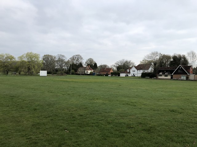
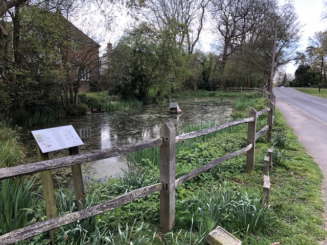
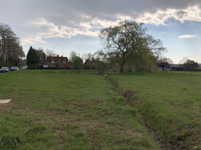
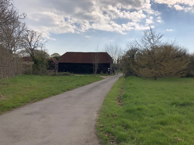
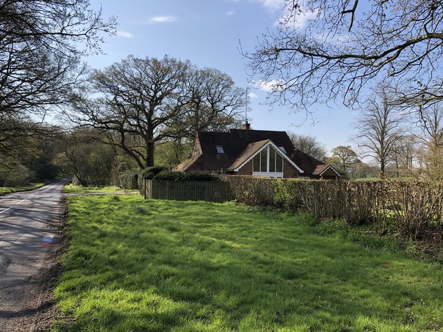
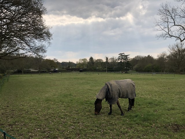
Ewhurst is a quaint village located in the county of Surrey, England. Situated approximately 9 miles south of Guildford, it is nestled amidst the picturesque countryside of the Surrey Hills Area of Outstanding Natural Beauty. With a population of around 2,800 residents, Ewhurst exudes a peaceful and charming atmosphere.

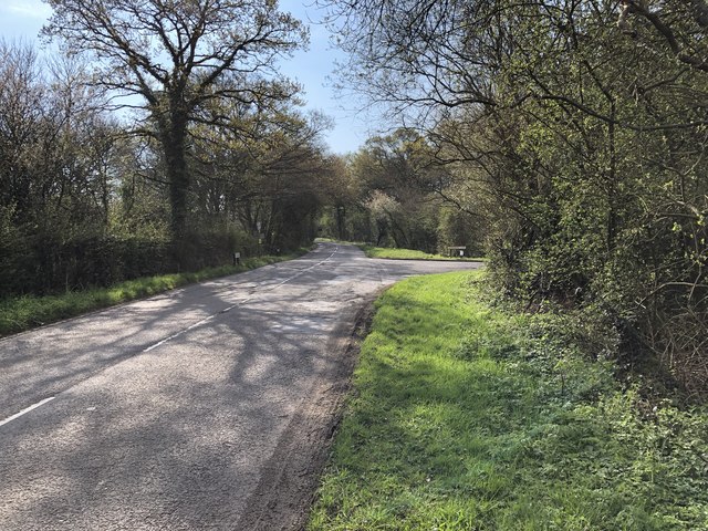
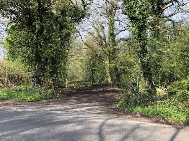
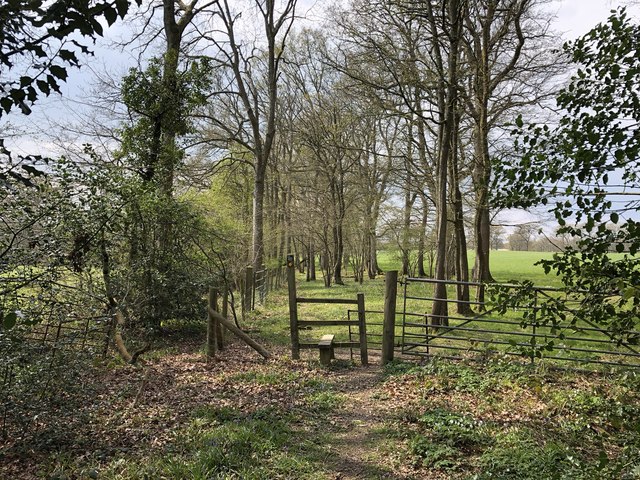
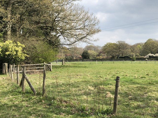
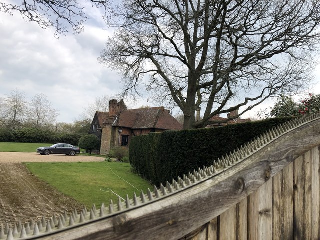
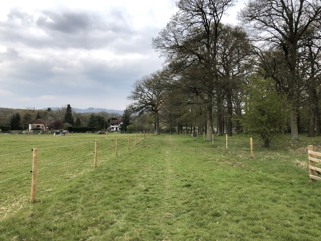
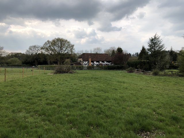
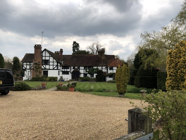
The village is renowned for its rich history, dating back to the Domesday Book in 1086. Its historic character is reflected in the traditional architecture of its buildings, including the beautiful St. Peter and St. Paul Church, which dates back to the 12th century. Surrounding the village, one can find a plethora of walking and cycling trails, allowing residents and visitors to explore the scenic landscapes and enjoy the tranquility of the area.

Ewhurst offers a range of amenities to cater to the needs of its residents. The village boasts a local primary school, a community center, a post office, a convenience store, and a popular village pub. Additionally, there are various social and recreational clubs, such as the Ewhurst Horticultural Society and the Ewhurst Players, which contribute to the vibrant community spirit.

The village is well-connected to neighboring towns and cities, with good transport links to Guildford and London. Ewhurst offers a rural escape while still providing easy access to urban facilities. Overall, Ewhurst is a picturesque village with a close-knit community, offering a peaceful and idyllic lifestyle in the heart of the Surrey countryside.

If you have any feedback on the listing, please let us know in the comments section below.

Ewhurst Images

Images are sourced within 2km of 51.150544/-0.44009708 or Grid Reference TQ0940. Thanks to Geograph Open Source API. All images are credited.

Cricket Ground at Ewhurst Green
Approaching Somersbury Lane On The Green (lane) nearing the junction with Somersbury Lane leaving to the right. Beyond the junction it becomes Horsham Lane.
Approaching Somersbury Lane
On The Green (lane) nearing the junction with Somersbury Lane leaving to the right. Beyond the junction it becomes Horsham Lane.
Bowles Farm The farm viewed from the passing public footpath.
Bowles Farm
The farm viewed from the passing public footpath.
Larkfield Pond A very well kept looking pond in Ewhurst
Larkfield Pond
A very well kept looking pond in Ewhurst
Pond near Ewhurst Cricket Ground In an earlier Geograph photo the pond was overgrown but it now seems to be cleared and being maintained.
Pond near Ewhurst Cricket Ground
In an earlier Geograph photo the pond was overgrown but it now seems to be cleared and being maintained.
Barn at Rumbeams Farm Rumbeams Farm is at Ewhurst Green and is visible from the passing road ‘The Green’.
Barn at Rumbeams Farm
Rumbeams Farm is at Ewhurst Green and is visible from the passing road ‘The Green’.
Path leaving Somersbury Lane The public footpath leaves the lane at a corner and heads along a ridgeway to Longhurst Hill.
Path leaving Somersbury Lane
The public footpath leaves the lane at a corner and heads along a ridgeway to Longhurst Hill.
House by the entrance to Coxland The house is possibly a former Lodge at the entrance to Coxland from Somersbury Lane.
House by the entrance to Coxland
The house is possibly a former Lodge at the entrance to Coxland from Somersbury Lane.
Entrance to Somersbury Manor The impressive gated entrance to Somersbury Manor. The Manor House is a Grade II listed building.
Entrance to Somersbury Manor
The impressive gated entrance to Somersbury Manor. The Manor House is a Grade II listed building.
Stile and gate Approaching a field corner near Bowles Farm.
Stile and gate
Approaching a field corner near Bowles Farm.
Fields near Old House On the public footpath near to Old House.
Fields near Old House
On the public footpath near to Old House.
Ponds near Old House The last in a series of small artificially created ponds.
Ponds near Old House
The last in a series of small artificially created ponds.
Old House The property Old House viewed from the passing public footpath. The house is a Grade II listed building.
Old House
The property Old House viewed from the passing public footpath. The house is a Grade II listed building.
Path towards Slythehurst Heading northwards towards the farmhouse with distant views of the Surrey Hills.
Path towards Slythehurst
Heading northwards towards the farmhouse with distant views of the Surrey Hills.
The Old Barn The Old Barn at Slythehurst.
The Old Barn
The Old Barn at Slythehurst.
Slythehurst The Grade II listed building Slythehurst viewed from the passing public footpath. For further details see <span class="nowrap"><a title="https://historicengland.org.uk/listing/the-list/list-entry/1352801" rel="nofollow ugc noopener" href="https://historicengland.org.uk/listing/the-list/list-entry/1352801">Link</a><img style="margin-left:2px;" alt="External link" title="External link - shift click to open in new window" src="https://s1.geograph.org.uk/img/external.png" width="10" height="10"/></span>
Slythehurst
The Grade II listed building Slythehurst viewed from the passing public footpath. For further details see LinkExternal link
Fields near Slythehurst On the public footpath looking back towards Slythehurst.
Fields near Slythehurst
On the public footpath looking back towards Slythehurst.
Footpath to Slythehurst Sheep on the public footpath heading towards Slythehurst.
Footpath to Slythehurst
Sheep on the public footpath heading towards Slythehurst.
Show me another place!

Ewhurst is located at Grid Ref: TQ0940 (Lat: 51.150544, Lng: -0.44009708)

Administrative County: Surrey

District: Waverley

Police Authority: Surrey

What 3 Words

///reception.curtail.automate. Near Ewhurst, Surrey

Nearby Locations

Ewhurst Plough Copse

Related Wikis

Ewhurst, Surrey

Ewhurst is a rural village and civil parish in the borough of Waverley in Surrey, England. It is located 8.3 miles (13.4 km) south-east of Guildford,...

Sayer's Croft LNR

Sayer's Croft is a 10.9-hectare (27-acre) Local Nature Reserve west of Ewhurst in Surrey. It is owned by the Sayer's Croft Environmental Education Trust...

Sayers Croft

Sayers Croft is a large outdoor 'learning camp' located in the village of Ewhurst, Surrey. It is one of the few remaining 'Camp schools' built by the National...

Marylands

Marylands is a Spanish-style country house on Pitch Hill, a rural part of Ewhurst, Surrey, England. It is a Grade II* listed building, designed during...

Mullard Space Science Laboratory

The UCL Mullard Space Science Laboratory (MSSL) is the United Kingdom's largest university space research group. MSSL is part of the Department of Space...

Hurt Wood Mill, Ewhurst

Hurt Wood Mill is a grade II* listed tower mill at Ewhurst, Surrey, England, which has been converted to residential use. == History == Hurt Wood Mill...

Duke of Kent School

Duke of Kent School is a 3–16 mixed private school in Ewhurst, Surrey, England. The school was originally founded in 1920 at Vanbrugh Castle to provide...

Hurtwood House

Hurtwood House is an independent, co-educational boarding school and sixth form for pupils aged 15–19 in Surrey, England. == Synopsis == Founded in 1970...

Nearby Amenities

Located within 500m of 51.150544,-0.44009708
Bus Stop
Bus: yes
Public Transport: platform
Lat/Long: 51.1535744/-0.4414318
Bus Stop
The Glebe
Bus: yes
Naptan AtcoCode: 40004411005A
Naptan Bearing: S
Naptan CommonName: The Glebe
Naptan Indicator: Just after
Naptan Landmark: The Glebe
Naptan NaptanCode: surdtdtm
Naptan Street: The Street
Naptan Verified: no
Public Transport: platform
Source: naptan_import
Lat/Long: 51.1538079/-0.4414893
Bus Stop
The Glebe
Bus: yes
Naptan AtcoCode: 40004411005B
Naptan Bearing: N
Naptan CommonName: The Glebe
Naptan Indicator: Just Before
Naptan Landmark: The Glebe
Naptan NaptanCode: surdtdtp
Naptan Street: The Street
Naptan Verified: no
Physically Present: no
Public Transport: platform
Source: naptan_import
Lat/Long: 51.1530247/-0.4419661
Bus Stop
Williams Place
Bus: yes
Naptan AtcoCode: 40004411006A
Naptan Bearing: SE
Naptan CommonName: Post Office
Naptan Indicator: Just after
Naptan Landmark: Post Office
Naptan NaptanCode: surdtdtw
Naptan Street: The Green
Naptan Verified: no
Public Transport: platform
Shelter: yes
Source: naptan_import
Lat/Long: 51.1498597/-0.4395687
Bus Stop
Gadbridge Lane
Bench: no
Bus: yes
Naptan AtcoCode: 40004411011A
Naptan Bearing: SW
Naptan CommonName: Gadbridge Lane
Naptan Indicator: adj
Naptan Landmark: Gadbridge lane
Naptan NaptanCode: surdtdwp
Naptan Street: Cranleigh Road
Naptan Verified: no
Public Transport: platform
Shelter: no
Source: naptan_import
Lat/Long: 51.1476224/-0.4427857
Barrier: stile
Lat/Long: 51.1521031/-0.4446324
Barrier: stile
Lat/Long: 51.1520281/-0.445186
Telephone
Booth: K6
Covered: booth
Operator: BT
Operator Wikidata: Q593786
Lat/Long: 51.1501563/-0.4397217
Post Box
Collection Times: Mo-Fr 17:00; Sa 09:15
Operator: Royal Mail
Operator Wikidata: Q638098
Post Box Type: pillar
Ref: GU6 123
Royal Cypher: GVIR
Royal Cypher Wikidata: Q33102169
Source: survey
Lat/Long: 51.150086/-0.4396868
Fire Hydrant
Emergency: fire_hydrant
Fire Hydrant Diameter: 100
Fire Hydrant Position: lane
Fire Hydrant Type: underground
Lat/Long: 51.150536/-0.4399323
Post Box
Operator: Royal Mail
Operator Wikidata: Q638098
Post Box Type: lamp
Ref: GU6 147
Royal Cypher: EIIR
Royal Cypher Wikidata: Q33102113
Lat/Long: 51.1474499/-0.4448408
Barrier: stile
Lat/Long: 51.1512786/-0.4466012
Barrier: stile
Lat/Long: 51.1534539/-0.4445149
Tourism: hostel
Lat/Long: 51.1511956/-0.4449607
Ewhurst
Is In: Surrey
Place: village
Lat/Long: 51.1521021/-0.4405127
Leisure: sports_centre
Lat/Long: 51.1501834/-0.4422781
Historic: memorial
Lat/Long: 51.1503635/-0.4424913
Tourism: picnic_site
Lat/Long: 51.1504972/-0.442785
Historic: memorial
Memorial: war_memorial
Lat/Long: 51.1529991/-0.4417901
Building: house
Lat/Long: 51.1498421/-0.4417688
Bus Stop
Williams Place
Bus: yes
Naptan AtcoCode: 40004411006B
Naptan Bearing: NW
Naptan NaptanCode: surgpdpj
Naptan Street: The Green
Public Transport: platform
Source: https://bustimes.org/stops/40004411006B
Lat/Long: 51.1499183/-0.4397663
Bus Stop
Gadbridge Lane
Bench: no
Bus: yes
Naptan AtcoCode: 40004411011B
Naptan NaptanCode: surgpdpm
Public Transport: platform
Lat/Long: 51.147727/-0.442823
Bus Stop
The Green
Bus: yes
Naptan AtcoCode: 40004411835A
Naptan Bearing: S
Naptan NaptanCode: surgmpap
Naptan Street: The Green
Physically Present: no
Public Transport: platform
Source: https://bustimes.org/stops/40004411835A
Lat/Long: 51.1474721/-0.4387021
Bus Stop
The Green
Bus: yes
Naptan AtcoCode: 40004411835D
Naptan Bearing: N
Naptan NaptanCode: surgmpda
Naptan Street: The Green
Physically Present: no
Public Transport: platform
Source: https://bustimes.org/stops/40004411835D
Lat/Long: 51.1474418/-0.438973
Defibrillator
Defibrillator Location: On external wall of Bowling Clubhouse
Emergency: defibrillator
Indoor: no
Lat/Long: 51.1484346/-0.4442233
The data included in this document is from www.openstreetmap.org. The data is made available under ODbL.

Have you been to Ewhurst?

Leave your review of Ewhurst below (or comments, questions and feedback).