Ewhurst

Civil Parish in Surrey Waverley

England

Ewhurst

Cricket Ground at Ewhurst Green
Cricket Ground at Ewhurst Green Credit: Chris Thomas-Atkin

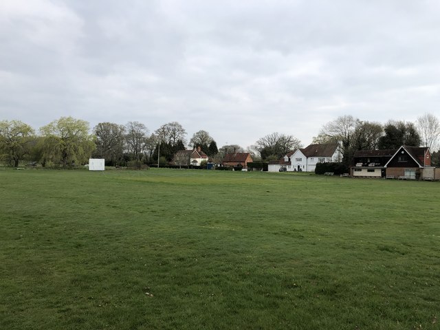
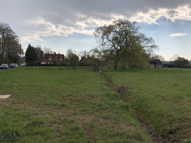
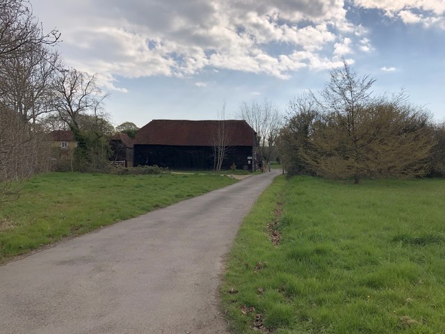
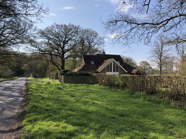
Ewhurst is a civil parish located in the county of Surrey, England. Situated approximately 10 miles south of Guildford, the village lies in the heart of the picturesque Surrey Hills Area of Outstanding Natural Beauty. With a population of around 3,500 residents, Ewhurst offers a tranquil and rural setting, making it a desirable place to live for those seeking a peaceful countryside lifestyle.

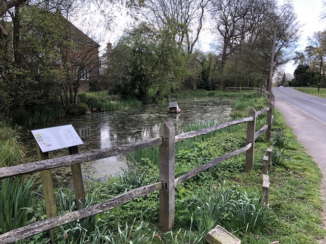
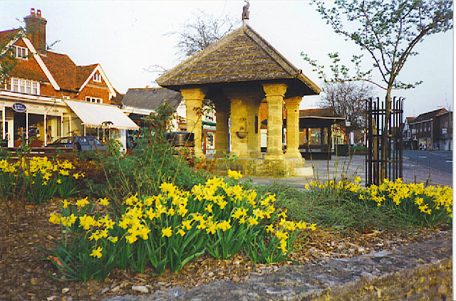
The village itself boasts a rich history, with evidence of human presence dating back to the Neolithic period. It is home to several historic buildings, including St. Peter and St. Paul Church, a Grade II* listed building that dates back to the 12th century. The church features a Norman tower and a unique octagonal spire.

Ewhurst offers a range of amenities for its residents, including a village shop, a primary school, and a village hall. The nearby larger towns of Cranleigh and Guildford provide additional shopping and leisure facilities. The village is well-connected, with regular bus services to neighboring towns and villages.

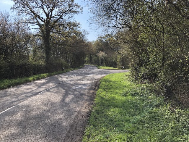
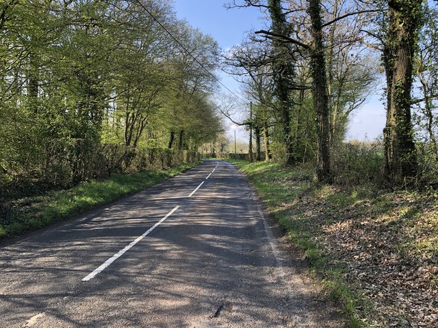
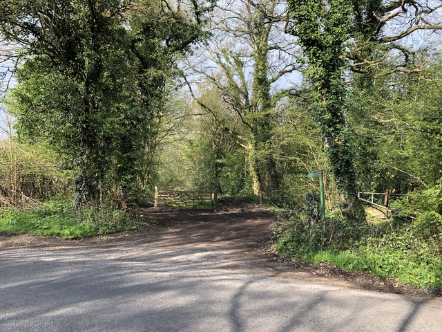
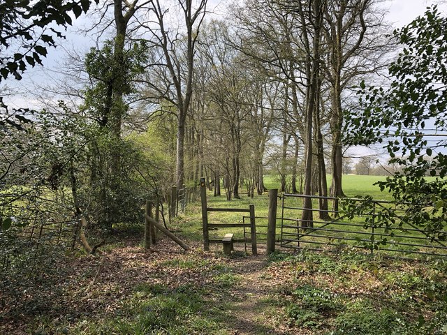
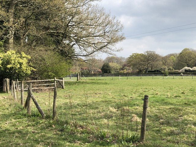
The surrounding countryside offers ample opportunities for outdoor activities, including walking, cycling, and horse riding. Ewhurst also benefits from its proximity to the Surrey Hills, which provide stunning views and a variety of walking trails for nature enthusiasts.

Overall, Ewhurst, Surrey, provides a picturesque and idyllic setting for residents who appreciate the beauty of the countryside while still having access to nearby amenities.

If you have any feedback on the listing, please let us know in the comments section below.
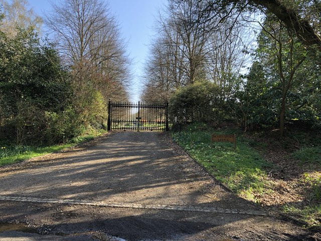
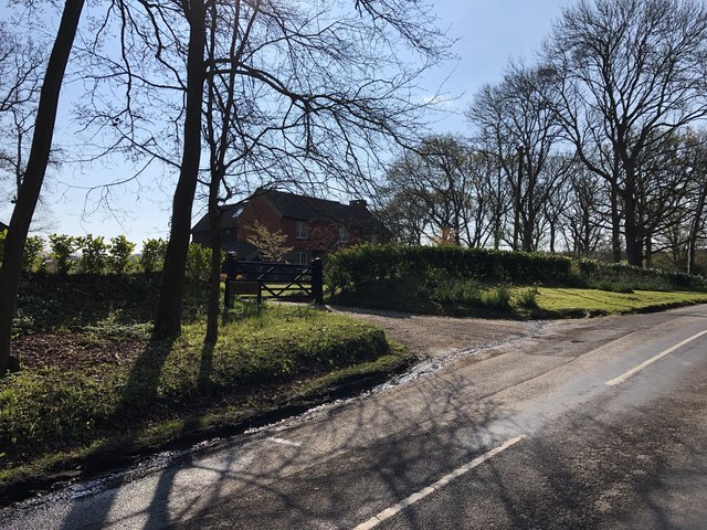
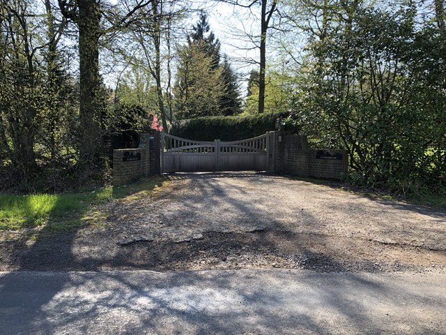
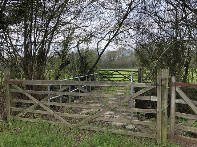
Ewhurst Images

Images are sourced within 2km of 51.14173/-0.437136 or Grid Reference TQ0939. Thanks to Geograph Open Source API. All images are credited.

Cricket Ground at Ewhurst Green
Approaching Somersbury Lane On The Green (lane) nearing the junction with Somersbury Lane leaving to the right. Beyond the junction it becomes Horsham Lane.
Approaching Somersbury Lane
On The Green (lane) nearing the junction with Somersbury Lane leaving to the right. Beyond the junction it becomes Horsham Lane.
Somersbury Lane Heading southwest on the lane near Collendene.
Somersbury Lane
Heading southwest on the lane near Collendene.
Bowles Farm The farm viewed from the passing public footpath.
Bowles Farm
The farm viewed from the passing public footpath.
Larkfield Pond A very well kept looking pond in Ewhurst
Larkfield Pond
A very well kept looking pond in Ewhurst
Pond near Ewhurst Cricket Ground In an earlier Geograph photo the pond was overgrown but it now seems to be cleared and being maintained.
Pond near Ewhurst Cricket Ground
In an earlier Geograph photo the pond was overgrown but it now seems to be cleared and being maintained.
Barn at Rumbeams Farm Rumbeams Farm is at Ewhurst Green and is visible from the passing road ‘The Green’.
Barn at Rumbeams Farm
Rumbeams Farm is at Ewhurst Green and is visible from the passing road ‘The Green’.
Path leaving Somersbury Lane The public footpath leaves the lane at a corner and heads along a ridgeway to Longhurst Hill.
Path leaving Somersbury Lane
The public footpath leaves the lane at a corner and heads along a ridgeway to Longhurst Hill.
House by the entrance to Coxland The house is possibly a former Lodge at the entrance to Coxland from Somersbury Lane.
House by the entrance to Coxland
The house is possibly a former Lodge at the entrance to Coxland from Somersbury Lane.
Entrance to Somersbury Manor The impressive gated entrance to Somersbury Manor. The Manor House is a Grade II listed building.
Entrance to Somersbury Manor
The impressive gated entrance to Somersbury Manor. The Manor House is a Grade II listed building.
Somersbury Cottage The cottage near Somersbury Manor viewed from Somersbury Lane.
Somersbury Cottage
The cottage near Somersbury Manor viewed from Somersbury Lane.
Entrance to Collendene
Footbridge over Thornhurst Brook On the public footpath crossing Thornhurst Brook.
Footbridge over Thornhurst Brook
On the public footpath crossing Thornhurst Brook.
Passing unnamed woodland The public footpath passes alongside two areas of woodland which do not appear to be named.
Passing unnamed woodland
The public footpath passes alongside two areas of woodland which do not appear to be named.
Messy corner The public footpath continues through the gate ahead which proved to be difficult to open and the area in front is in a complete mess.
Messy corner
The public footpath continues through the gate ahead which proved to be difficult to open and the area in front is in a complete mess.
Stile and gate Approaching a field corner near Bowles Farm.
Stile and gate
Approaching a field corner near Bowles Farm.
Fields near Old House On the public footpath near to Old House.
Fields near Old House
On the public footpath near to Old House.
Ponds near Old House The last in a series of small artificially created ponds.
Ponds near Old House
The last in a series of small artificially created ponds.
Show me another place!

Ewhurst is located at Grid Ref: TQ0939 (Lat: 51.14173, Lng: -0.437136)

Administrative County: Surrey

District: Waverley

Police Authority: Surrey

What 3 Words

///spotted.slacker.treaty. Near Ewhurst, Surrey

Nearby Locations

Ewhurst Green Ewhurst

Related Wikis

Ewhurst, Surrey

Ewhurst is a rural village and civil parish in the borough of Waverley in Surrey, England. It is located 8.3 miles (13.4 km) south-east of Guildford,...

Sayer's Croft LNR

Sayer's Croft is a 10.9-hectare (27-acre) Local Nature Reserve west of Ewhurst in Surrey. It is owned by the Sayer's Croft Environmental Education Trust...

Sayers Croft

Sayers Croft is a large outdoor 'learning camp' located in the village of Ewhurst, Surrey. It is one of the few remaining 'Camp schools' built by the National...

Longhurst Lodge

Longhurst Lodge is a Grade II listed building in Cranleigh, Surrey, England. It is located on the former Baynards Park estate, about a quarter of a mile...

Smokejack Clay Pit

Smokejack Clay Pit is a 56-hectare (140-acre) geological Site of Special Scientific Interest east of Cranleigh in Surrey. It is a Geological Conservation...

Baynards Park

Baynards Park is a 2,000 acres (810 ha) estate and site of a demolished country house with extant outbuildings, privately owned, in the south of the parishes...

Wallis Wood

Wallis Wood is a 14-hectare (35-acre) nature reserve south-east of Ewhurst in Surrey. It is managed by the Surrey Wildlife Trust.A stream runs through...

Cranleigh

Cranleigh is a village and civil parish, about 8 miles (13 km) southeast of Guildford in Surrey, England. It lies on a minor road east of the A281, which...

Nearby Amenities

Located within 500m of 51.14173,-0.437136
Oldhouse Farm
Landuse: farm
Note Retag: CS #48756035
Source: npe
Lat/Long: 51.1384917/-0.441353
Ewhurst Green
Place: hamlet
Source: npe
Lat/Long: 51.144694/-0.4363729
Bus Stop
Ewhurst Green
Bus: yes
Naptan AtcoCode: 40004411948A
Naptan Bearing: NW
Naptan CommonName: Ewhurst Green
Naptan Indicator: Just after
Naptan Landmark: Ewhurst Green
Naptan NaptanCode: surgmpwj
Naptan Street: The Green
Naptan Verified: no
Physically Present: no
Public Transport: platform
Source: naptan_import
Lat/Long: 51.1455413/-0.4381562
Bus Stop
Ewhurst Green
Bus: yes
Naptan AtcoCode: 40004411950A
Naptan Bearing: SE
Naptan CommonName: Ewhurst Green
Naptan Indicator: Just Before
Naptan Landmark: Ewhurst Green
Naptan NaptanCode: surgmpwp
Naptan Street: Horsham Road
Naptan Verified: no
Physically Present: no
Public Transport: platform
Source: naptan_import
Lat/Long: 51.1455197/-0.4378853
Barrier: stile
Lat/Long: 51.1436256/-0.4410779
Barrier: stile
Lat/Long: 51.1373194/-0.4373074
Barrier: stile
Lat/Long: 51.1397133/-0.442853
Post Box
Operator: Royal Mail
Operator Wikidata: Q638098
Post Box Type: lamp
Ref: GU6 14
Royal Cypher: EIIR
Royal Cypher Wikidata: Q33102113
Lat/Long: 51.1459056/-0.4384232
Rumbeams Farm
Place: farm
Lat/Long: 51.1426984/-0.434359
Bus Stop
Horsham Road
Bus: yes
Naptan AtcoCode: 40004411835B
Naptan Bearing: S
Naptan NaptanCode: surgmpat
Naptan Street: Horsham Road
Physically Present: no
Public Transport: platform
Source: https://bustimes.org/stops/40004411835B
Lat/Long: 51.1414245/-0.4344696
Bus Stop
Horsham Road
Bus: yes
Naptan AtcoCode: 40004411835C
Naptan Bearing: N
Naptan NaptanCode: surgmpaw
Naptan Street: Horsham Road
Physically Present: no
Public Transport: platform
Source: https://bustimes.org/stops/40004411835C
Lat/Long: 51.1413866/-0.4346399
The data included in this document is from www.openstreetmap.org. The data is made available under ODbL.

Have you been to Ewhurst?

Leave your review of Ewhurst below (or comments, questions and feedback).