Aston

Settlement in Flintshire

Wales

Aston

Wepre Park, Connah's Quay The High Street in Connah's Quay looks distinctly down-at-heel in places but here to the south of it there is an air of quiet suburban prosperity. This is Wepre Park, the road, which confusingly leads to Wepre Park, the park. Wepre is a much older name than Connah's Quay and is still used as a name for this part of the town.
Wepre Park, Connah's Quay Credit: Stephen McKay

Aston is a small village located in Flintshire, a county in northeast Wales, United Kingdom. Situated about 6 miles southwest of the town of Queensferry, Aston is nestled in a rural area surrounded by picturesque countryside. The village maintains a population of around 500 residents, providing a close-knit community atmosphere.

Aston boasts a rich history, with records dating back to the Domesday Book of 1086. The village is home to several historic landmarks, including St. Peter's Church, a Grade II listed building dating back to the 12th century. This ancient church features beautiful stained glass windows and architectural elements that attract visitors interested in its historical significance.

The village offers a range of amenities for its residents, including a local primary school, a village hall, and a post office. Aston is also well-connected to neighboring towns and cities, with convenient transport links allowing for easy access to surrounding areas. The idyllic countryside setting provides opportunities for outdoor activities such as hiking, biking, and exploring the nearby Clwydian Range, a designated Area of Outstanding Natural Beauty.

Despite its small size, Aston has a strong sense of community, with various events and activities organized throughout the year, bringing residents together. The village prides itself on its friendly atmosphere and close community ties.

In conclusion, Aston is a charming village in Flintshire, Wales, with a rich history, beautiful landscapes, and a welcoming community spirit.

If you have any feedback on the listing, please let us know in the comments section below.
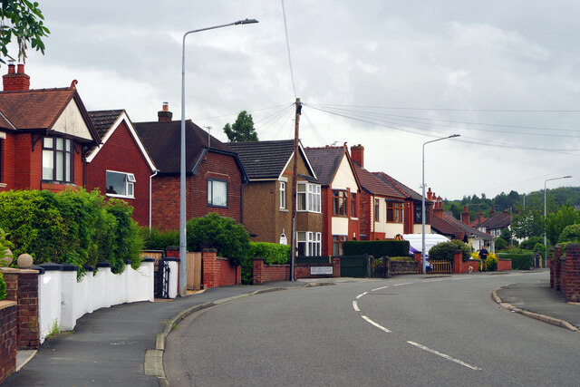
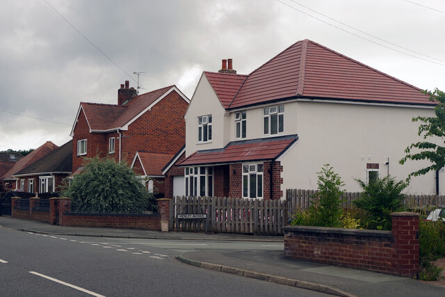
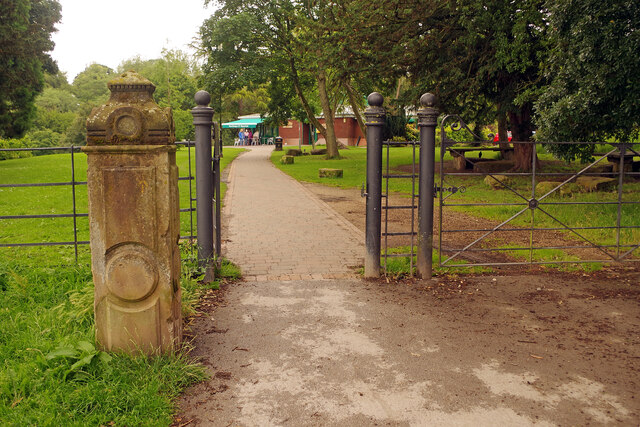
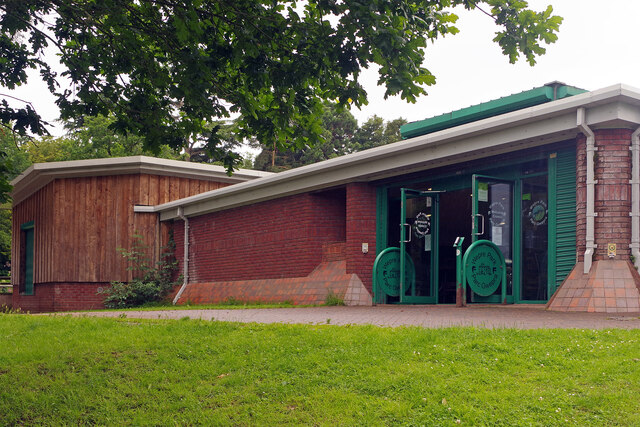
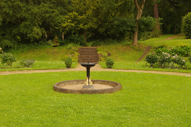
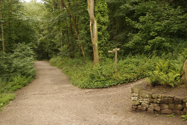
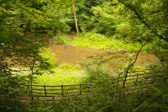
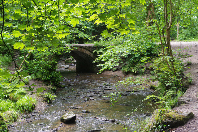
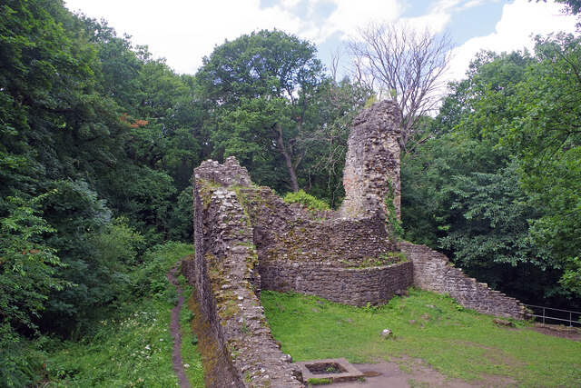
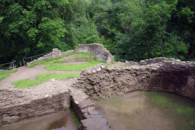
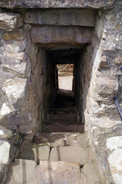
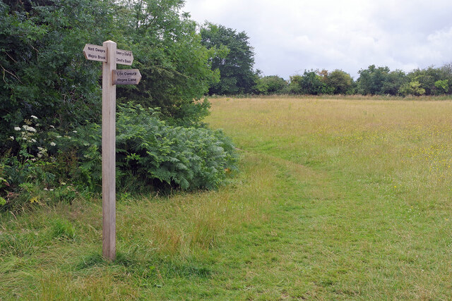
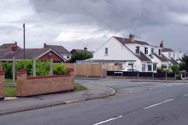
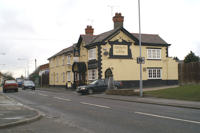
Aston Images

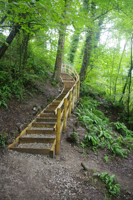
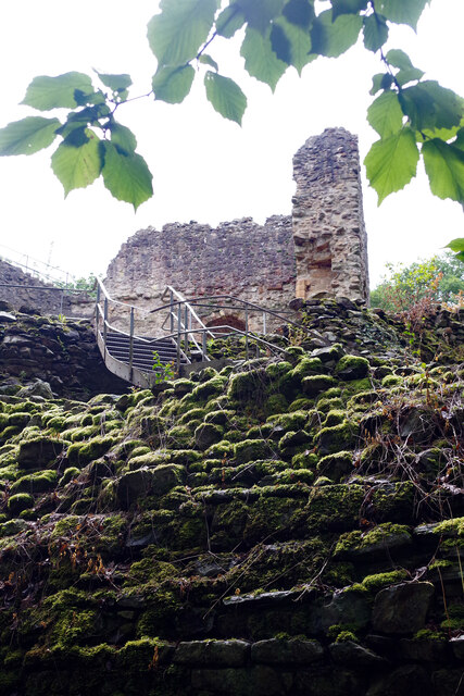
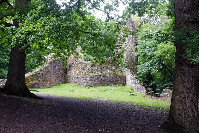
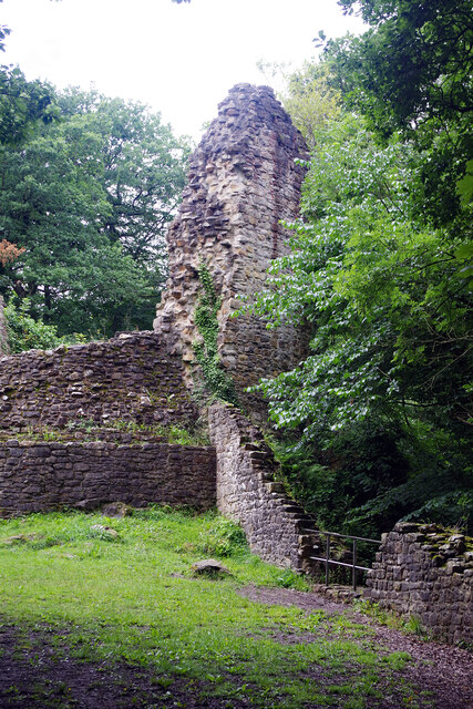
Images are sourced within 2km of 53.198483/-3.040808 or Grid Reference SJ3067. Thanks to Geograph Open Source API. All images are credited.

Wepre Park, Connah's Quay The High Street in Connah's Quay looks distinctly down-at-heel in places but here to the south of it there is an air of quiet suburban prosperity. This is Wepre Park, the road, which confusingly leads to Wepre Park, the park. Wepre is a much older name than Connah's Quay and is still used as a name for this part of the town.
Wepre Park, Connah's Quay
The High Street in Connah's Quay looks distinctly down-at-heel in places but here to the south of it there is an air of quiet suburban prosperity. This is Wepre Park, the road, which confusingly leads to Wepre Park, the park. Wepre is a much older name than Connah's Quay and is still used as a name for this part of the town.
Wepre Park, Connah's Quay Wepre Park is the road that leads to Wepre Park itself. In this view Henley Avenue leads off to the right.
Wepre Park, Connah's Quay
Wepre Park is the road that leads to Wepre Park itself. In this view Henley Avenue leads off to the right.
Wepre Park - skatepark Complete with graffiti-style artistry, the skatepark is one of the facilities aimed primarily at youngsters in Wepre Park. On this rather dismal day before the start of the school summer holidays it was deserted.
Wepre Park - skatepark
Complete with graffiti-style artistry, the skatepark is one of the facilities aimed primarily at youngsters in Wepre Park. On this rather dismal day before the start of the school summer holidays it was deserted.
Wepre Park Visitor Centre The old stone gatepost hints that this was the approach to a grander building than a modern visitor centre. In fact there was a hall on this site built in Georgian times that had to be demolished in the 1960s for safety reasons. The original cellars still exist beneath the visitor centre.
Wepre Park Visitor Centre
The old stone gatepost hints that this was the approach to a grander building than a modern visitor centre. In fact there was a hall on this site built in Georgian times that had to be demolished in the 1960s for safety reasons. The original cellars still exist beneath the visitor centre.
Wepre Park Visitor Centre The modern visitor centre stands on the site of the old Wepre Hall demolished in the 1960s. The original cellars still exist beneath the building.
Wepre Park Visitor Centre
The modern visitor centre stands on the site of the old Wepre Hall demolished in the 1960s. The original cellars still exist beneath the building.
Wepre Park - formal garden Although the house was demolished in the early 1960s, the formal garden at Wepre Park, originally laid out in the 18th and 19th centuries, has survived. The garden includes this circular lawn with a central fountain.
Wepre Park - formal garden
Although the house was demolished in the early 1960s, the formal garden at Wepre Park, originally laid out in the 18th and 19th centuries, has survived. The garden includes this circular lawn with a central fountain.
Path into Wepre Wood The path leads south from the Wepre Park visitor centre to Ewloe Castle, following Wepre Brook.
Path into Wepre Wood
The path leads south from the Wepre Park visitor centre to Ewloe Castle, following Wepre Brook.
Wepre Brook Wepre Brook flows through Wepre Wood (part of Wepre Park) and the path from the visitor centre to Ewloe Castle follows its course upstream.
Wepre Brook
Wepre Brook flows through Wepre Wood (part of Wepre Park) and the path from the visitor centre to Ewloe Castle follows its course upstream.
Wepre Brook Wepre Brook (Nant Gwepra in Welsh) flows through Wepre Wood and this footbridge forms part of the network of paths that invite exploration. The bridge, called Pont Aber, was originally sited further up the valley but was relocated here in about 1800 to improve access to Wepre Hall.
Wepre Brook
Wepre Brook (Nant Gwepra in Welsh) flows through Wepre Wood and this footbridge forms part of the network of paths that invite exploration. The bridge, called Pont Aber, was originally sited further up the valley but was relocated here in about 1800 to improve access to Wepre Hall.
Steps to Ewloe Castle After crossing Wepre Brook the path to the castle heads up these steps.
Steps to Ewloe Castle
After crossing Wepre Brook the path to the castle heads up these steps.
Ewloe Castle Showing the steps providing public access (originally ramps would have been provided for crossing the walls - there were no gatehouses as such) and the western tower.
Ewloe Castle
Showing the steps providing public access (originally ramps would have been provided for crossing the walls - there were no gatehouses as such) and the western tower.
Ewloe Castle Looking towards the western tower built later than the Welsh tower which is out of shot to the left.
Ewloe Castle
Looking towards the western tower built later than the Welsh tower which is out of shot to the left.
Ewloe Castle Showing the western tower. The wooded surroundings of the castle can be clearly seen in this view.
Ewloe Castle
Showing the western tower. The wooded surroundings of the castle can be clearly seen in this view.
Ewloe Castle Showing the remains of the western tower and curtain wall set against the surrounding Wepre Wood.
Ewloe Castle
Showing the remains of the western tower and curtain wall set against the surrounding Wepre Wood.
Ewloe Castle Looking down from the Welsh Tower - the highest accessible part of the castle.
Ewloe Castle
Looking down from the Welsh Tower - the highest accessible part of the castle.
Ewloe Castle These steps lead down from the Welsh tower - the highest part of the ruins to which the public has access. Care is needed when walking down these rough steps.
Ewloe Castle
These steps lead down from the Welsh tower - the highest part of the ruins to which the public has access. Care is needed when walking down these rough steps.
Wepre footpaths There is a junction of paths here beside Wepre Wood - heading to Wepre Brook, Wepre Lane or the Devil's Basin.
Wepre footpaths
There is a junction of paths here beside Wepre Wood - heading to Wepre Brook, Wepre Lane or the Devil's Basin.
Wepre Lane, Connah's Quay This area of suburban housing is to the south of and high above the Dee estuary. Halkyn View leads off to the left.
Wepre Lane, Connah's Quay
This area of suburban housing is to the south of and high above the Dee estuary. Halkyn View leads off to the left.
Show me another place!

Aston is located at Grid Ref: SJ3067 (Lat: 53.198483, Lng: -3.040808)

Unitary Authority: Flintshire

Police Authority: North Wales

What 3 Words

///fonts.silly.jammy. Near Deeside, Flintshire

Nearby Locations

Aston Shotton

Related Wikis

Aston Park, Flintshire

Aston Park, also known as Aston, is a village in the community of Hawarden, in the principal area of Flintshire, north Wales. It is near to Hawarden and...

Deeside Community Hospital

Deeside Community Hospital (Welsh: Ysbyty Cymuned Glannau Dyfrdwy) is a community hospital in Aston Park, Flintshire, Wales. It is managed by the Betsi...

Deeside

Deeside (Welsh: Glannau Dyfrdwy) is the name given to a predominantly industrial conurbation of towns and villages in Flintshire and Cheshire on the Wales...

Ewloe

Ewloe (; Welsh: Ewlo, [ˈɛʊlɔ] ) is a village and electoral ward in the community of Hawarden in Flintshire, Wales. It is situated close to the Flintshire/Cheshire...

Nearby Amenities

Located within 500m of 53.198483,-3.040808
Motorway Junction
Lat/Long: 53.1999227/-3.0367171
Noexit: yes
Lat/Long: 53.2006737/-3.0373994
Pub
The Plough
Addr Postcode: CH5 1TJ
Addr Street: Aston Road
Fhrs Id: 119815
Source Addr: FHRS Open Data
Wikidata: Q80581495
Lat/Long: 53.2001431/-3.0375081
Barrier: bollard
Bicycle: yes
Foot: yes
Lat/Long: 53.2016961/-3.041688
Aston
Place: village
Wikidata: Q4811017
Lat/Long: 53.1997515/-3.0384035
Noexit: yes
Lat/Long: 53.1985979/-3.0397796
Noexit: yes
Lat/Long: 53.1986805/-3.0396855
Noexit: yes
Lat/Long: 53.1989548/-3.0393168
Direction: SSE
Generator Method: photovoltaic
Generator Output Electricity: yes
Generator Solar Modules: 12
Generator Source: solar
Generator Type: solar_photovoltaic_panel
Location: roof
Power: generator
Lat/Long: 53.1962545/-3.0393663
Direction: SW
Generator Method: photovoltaic
Generator Output Electricity: yes
Generator Solar Modules: 12
Generator Source: solar
Generator Type: solar_photovoltaic_panel
Location: roof
Power: generator
Lat/Long: 53.2029697/-3.0411098
Direction: SSE
Generator Method: photovoltaic
Generator Output Electricity: yes
Generator Solar Modules: 9
Generator Source: solar
Generator Type: solar_photovoltaic_panel
Location: roof
Power: generator
Lat/Long: 53.1964817/-3.0390802
Direction: SSE
Generator Method: photovoltaic
Generator Output Electricity: yes
Generator Solar Modules: 14
Generator Source: solar
Generator Type: solar_photovoltaic_panel
Location: roof
Power: generator
Lat/Long: 53.1979167/-3.0437664
Direction: SW
Generator Method: photovoltaic
Generator Output Electricity: yes
Generator Solar Modules: 12
Generator Source: solar
Generator Type: solar_photovoltaic_panel
Location: roof
Power: generator
Lat/Long: 53.2028923/-3.040982
Direction: SE
Generator Method: photovoltaic
Generator Output Electricity: yes
Generator Solar Modules: 12
Generator Source: solar
Generator Type: solar_photovoltaic_panel
Location: roof
Power: generator
Lat/Long: 53.2029355/-3.0416606
Direction: SSE
Generator Method: photovoltaic
Generator Output Electricity: yes
Generator Solar Modules: 12
Generator Source: solar
Generator Type: solar_photovoltaic_panel
Location: roof
Power: generator
Lat/Long: 53.1965285/-3.0389212
Direction: SW
Generator Method: photovoltaic
Generator Output Electricity: yes
Generator Solar Modules: 7
Generator Source: solar
Generator Type: solar_photovoltaic_panel
Location: roof
Power: generator
Lat/Long: 53.1963345/-3.043771
Direction: SW
Generator Method: photovoltaic
Generator Output Electricity: yes
Generator Solar Modules: 15
Generator Source: solar
Generator Type: solar_photovoltaic_panel
Location: roof
Power: generator
Lat/Long: 53.1975133/-3.042432
Direction: SE
Generator Method: photovoltaic
Generator Output Electricity: yes
Generator Solar Modules: 6
Generator Source: solar
Generator Type: solar_photovoltaic_panel
Location: roof
Power: generator
Lat/Long: 53.2028947/-3.0417455
Direction: 215
Generator Method: photovoltaic
Generator Output Electricity: yes
Generator Solar Modules: 20
Generator Source: solar
Generator Type: solar_photovoltaic_panel
Location: roof
Power: generator
Lat/Long: 53.1950637/-3.0374541
Direction: SE
Generator Method: photovoltaic
Generator Output Electricity: yes
Generator Solar Modules: 12
Generator Source: solar
Generator Type: solar_photovoltaic_panel
Location: roof
Power: generator
Lat/Long: 53.2028433/-3.040632
Direction: SW
Generator Method: photovoltaic
Generator Output Electricity: yes
Generator Solar Modules: 6
Generator Source: solar
Generator Type: solar_photovoltaic_panel
Location: roof
Power: generator
Lat/Long: 53.2028996/-3.0418426
Direction: SW
Generator Method: photovoltaic
Generator Output Electricity: yes
Generator Solar Modules: 12
Generator Source: solar
Generator Type: solar_photovoltaic_panel
Location: roof
Power: generator
Lat/Long: 53.2028489/-3.0409167
Direction: 145
Generator Method: photovoltaic
Generator Output Electricity: yes
Generator Solar Modules: 17
Generator Source: solar
Generator Type: solar_photovoltaic_panel
Power: generator
Lat/Long: 53.195802/-3.0382327
Direction: SE
Generator Method: photovoltaic
Generator Output Electricity: yes
Generator Solar Modules: 12
Generator Source: solar
Generator Type: solar_photovoltaic_panel
Location: roof
Power: generator
Lat/Long: 53.2028852/-3.0405609
Direction: 170
Generator Method: photovoltaic
Generator Output Electricity: yes
Generator Solar Modules: 14
Generator Source: solar
Generator Type: solar_photovoltaic_panel
Location: roof
Power: generator
Lat/Long: 53.1959173/-3.0410025
Direction: 215
Generator Method: photovoltaic
Generator Output Electricity: yes
Generator Solar Modules: 12
Generator Source: solar
Generator Type: solar_photovoltaic_panel
Location: roof
Power: generator
Lat/Long: 53.1996582/-3.0385157
Direction: SSE
Generator Method: photovoltaic
Generator Output Electricity: yes
Generator Solar Modules: 16
Generator Source: solar
Generator Type: solar_photovoltaic_panel
Location: roof
Power: generator
Lat/Long: 53.1979632/-3.0433015
Direction: SSE
Generator Method: photovoltaic
Generator Output Electricity: yes
Generator Solar Modules: 6
Generator Source: solar
Generator Type: solar_photovoltaic_panel
Location: roof
Power: generator
Lat/Long: 53.1963322/-3.0391515
Direction: SSE
Generator Method: photovoltaic
Generator Output Electricity: yes
Generator Solar Modules: 6
Generator Source: solar
Generator Type: solar_photovoltaic_panel
Location: roof
Power: generator
Lat/Long: 53.1965008/-3.0390104
Direction: SSE
Generator Method: photovoltaic
Generator Output Electricity: yes
Generator Solar Modules: 8
Generator Source: solar
Generator Type: solar_photovoltaic_panel
Location: roof
Power: generator
Lat/Long: 53.1962872/-3.0392669
Direction: SSE
Generator Method: photovoltaic
Generator Output Electricity: yes
Generator Solar Modules: 12
Generator Source: solar
Generator Type: solar_photovoltaic_panel
Location: roof
Power: generator
Lat/Long: 53.1963036/-3.038742
Direction: 170
Generator Method: photovoltaic
Generator Output Electricity: yes
Generator Solar Modules: 14
Generator Source: solar
Generator Type: solar_photovoltaic_panel
Location: roof
Power: generator
Lat/Long: 53.1959053/-3.0411201
Direction: 185
Generator Method: photovoltaic
Generator Output Electricity: yes
Generator Solar Modules: 7
Generator Source: solar
Generator Type: solar_photovoltaic_panel
Location: roof
Power: generator
Lat/Long: 53.1994858/-3.0415152
Direction: 125
Generator Method: photovoltaic
Generator Output Electricity: yes
Generator Solar Modules: 16
Generator Source: solar
Generator Type: solar_photovoltaic_panel
Location: roof
Power: generator
Lat/Long: 53.2003699/-3.0417903
Direction: 235
Generator Method: photovoltaic
Generator Output Electricity: yes
Generator Solar Modules: 14
Generator Source: solar
Generator Type: solar_photovoltaic_panel
Location: roof
Power: generator
Lat/Long: 53.2020152/-3.0454284
Direction: SW
Generator Method: photovoltaic
Generator Output Electricity: yes
Generator Solar Modules: 15
Generator Source: solar
Generator Type: solar_photovoltaic_panel
Location: roof
Power: generator
Lat/Long: 53.2020633/-3.0363586
Direction: SW
Generator Method: photovoltaic
Generator Output Electricity: yes
Generator Solar Modules: 16
Generator Source: solar
Generator Type: solar_photovoltaic_panel
Location: roof
Power: generator
Lat/Long: 53.2010978/-3.037988
Bus Stop
Aston, Aston Road / Plough Inn
Bus: yes
Naptan AtcoCode: 5120WDB22493
Naptan Bearing: SW
Naptan CommonName: Plough Inn
Naptan Crossing: Plough Lane
Naptan Indicator: before
Naptan LocalityName: Aston
Naptan NaptanCode: flimpdp
Naptan PlusbusZoneRef: SHOTTON
Naptan Street: Aston Road
Naptan Verified: no
Public Transport: platform
Public Transport Version: 2
Source: naptan_import
Lat/Long: 53.2008738/-3.0358583
Bus Stop
Aston, Aston Road / Plough Inn
Bus: yes
Naptan AtcoCode: 5120AWF80624
Naptan Bearing: NE
Naptan CommonName: Plough Inn
Naptan Crossing: Plough Lane
Naptan Indicator: after
Naptan LocalityName: Aston
Naptan NaptanCode: fliadja
Naptan PlusbusZoneRef: SHOTTON
Naptan Street: Aston Road
Naptan Verified: no
Public Transport: platform
Public Transport Version: 2
Source: naptan_import
Lat/Long: 53.2009208/-3.0359944
Direction: SSE
Generator Method: photovoltaic
Generator Output Electricity: yes
Generator Solar Modules: 16
Generator Source: solar
Generator Type: solar_photovoltaic_panel
Location: roof
Power: generator
Lat/Long: 53.1962515/-3.0389201
Direction: WSW
Generator Method: photovoltaic
Generator Output Electricity: yes
Generator Solar Modules: 5
Generator Source: solar
Generator Type: solar_photovoltaic_panel
Location: roof
Power: generator
Lat/Long: 53.1962447/-3.0388355
Direction: WSW
Generator Method: photovoltaic
Generator Output Electricity: yes
Generator Solar Modules: 8
Generator Source: solar
Generator Type: solar_photovoltaic_panel
Location: roof
Power: generator
Lat/Long: 53.1962931/-3.0390689
Direction: ENE
Generator Method: photovoltaic
Generator Output Electricity: yes
Generator Solar Modules: 16
Generator Source: solar
Generator Type: solar_photovoltaic_panel
Location: roof
Power: generator
Lat/Long: 53.1964098/-3.0390689
Direction: SSE
Generator Method: photovoltaic
Generator Output Electricity: yes
Generator Solar Modules: 16
Generator Source: solar
Generator Type: solar_photovoltaic_panel
Location: roof
Power: generator
Lat/Long: 53.1996945/-3.0443072
Direction: 195
Generator Method: photovoltaic
Generator Output Electricity: yes
Generator Solar Modules: 33
Generator Source: solar
Generator Type: solar_photovoltaic_panel
Location: roof
Power: generator
Lat/Long: 53.2019937/-3.0393344
Direction: 125
Generator Method: photovoltaic
Generator Output Electricity: yes
Generator Solar Modules: 8
Generator Source: solar
Generator Type: solar_photovoltaic_panel
Location: roof
Power: generator
Lat/Long: 53.1952975/-3.0375829
Direction: 125
Generator Method: photovoltaic
Generator Output Electricity: yes
Generator Solar Modules: 8
Generator Source: solar
Generator Type: solar_photovoltaic_panel
Location: roof
Power: generator
Lat/Long: 53.1952292/-3.0376782
Direction: 185
Generator Method: photovoltaic
Generator Output Electricity: yes
Generator Solar Modules: 5
Generator Source: solar
Generator Type: solar_photovoltaic_panel
Location: roof
Power: generator
Lat/Long: 53.1994419/-3.0414869
Direction: 185
Generator Method: photovoltaic
Generator Output Electricity: yes
Generator Solar Modules: 8
Generator Source: solar
Generator Type: solar_photovoltaic_panel
Location: roof
Power: generator
Lat/Long: 53.1994808/-3.0414118
Bus Stop
Higher Shotton, Old Aston Hill / Aston Railway Bridge
Bus: yes
Naptan AtcoCode: 5120AWF80619
Naptan Bearing: SE
Naptan CommonName: Aston Railway Bridge
Naptan Crossing: Alder Avenue
Naptan Indicator: after
Naptan LocalityName: Higher Shotton
Naptan NaptanCode: fliawpt
Naptan PlusbusZoneRef: SHOTTON
Naptan Street: Old Aston Hill
Public Transport: platform
Source: naptan_import
Lat/Long: 53.1965988/-3.0419909
Bus Stop
Higher Shotton, Old Aston Hill / Aston Railway Bridge
Bus: yes
Naptan AtcoCode: 5120WDB22327
Naptan Bearing: W
Naptan CommonName: Aston Railway Bridge
Naptan Crossing: Alder Avenue
Naptan Indicator: before
Naptan LocalityName: Higher Shotton
Naptan NaptanCode: flimgmt
Naptan PlusbusZoneRef: SHOTTON
Naptan Street: Old Aston Hill
Public Transport: platform
Source: naptan_import
Lat/Long: 53.1965237/-3.0423484
The data included in this document is from www.openstreetmap.org. The data is made available under ODbL.

Have you been to Aston?

Leave your review of Aston below (or comments, questions and feedback).