Astmoor
Settlement in Cheshire
England
Astmoor
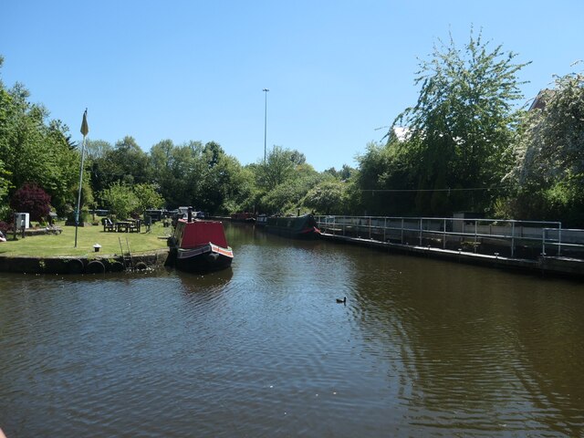
![Sprinch Arm, Bridgewater Canal, Runcorn In the late 1800s, the short arm to the left of the red flag and wharf crane led to graving docks [permanent open-air dry docks]. Sprinch Yard was where the flag and crane are, surrounded by water on almost all sides.](https://s0.geograph.org.uk/geophotos/06/91/55/6915512_164376b0.jpg)
Astmoor is a small industrial area located in Cheshire, England. Situated approximately 2 miles northeast of Runcorn town center, this area covers around 400 acres. It is primarily known for its industrial and commercial activities, making it an important economic hub in the region.
The infrastructure in Astmoor is well-developed, with excellent connectivity to major transportation routes. The area is served by the A558 road, which connects to the nearby M56 motorway, providing easy access to Liverpool and Manchester. The Runcorn East railway station is also in close proximity, offering further transportation options for residents and businesses.
Astmoor is characterized by a mix of industrial estates and business parks, providing a wide range of employment opportunities. Many companies from various sectors, including manufacturing, logistics, and distribution, have established their operations here. The area benefits from a skilled workforce and a supportive business environment.
In addition to its industrial significance, Astmoor offers a range of amenities for residents and visitors. There are several retail parks nearby, offering a variety of shopping options. The area is also home to several recreational facilities, including sports clubs and green spaces, providing opportunities for leisure activities.
Overall, Astmoor is a vibrant and dynamic area in Cheshire, playing a key role in the local economy while providing a range of amenities for its residents and visitors.
If you have any feedback on the listing, please let us know in the comments section below.
Astmoor Images
Images are sourced within 2km of 53.343613/-2.702918 or Grid Reference SJ5383. Thanks to Geograph Open Source API. All images are credited.
![Delph Bridge [no 84], from the east Carrying over the Bridgewater canal. "Apreciate what U have" says the graffiti on the wall.](https://s0.geograph.org.uk/geophotos/06/91/61/6916128_d486a085.jpg)
![Three road bridges across the Bridgewater canal, Runcorn The higher middle one carries the north-south Central Expressway [A533]. The nearest one carries a slip road from the east-west Bridgewater Expressway [A558] onto the Central Expressway. The farthest one carries a slip road from the Central Expressway onto the Bridgewater Expressway.](https://s3.geograph.org.uk/geophotos/06/91/61/6916143_a066fa76.jpg)


Astmoor is located at Grid Ref: SJ5383 (Lat: 53.343613, Lng: -2.702918)
Unitary Authority: Halton
Police Authority: Cheshire
What 3 Words
///rocket.spaces.same. Near Runcorn, Cheshire
Nearby Locations
Related Wikis

Astmoor
Astmoor is a suburb of Runcorn in Cheshire, England. == References ==

Wigg Island
Wigg Island, also known as Wigg Island Community Park, is a community park and Local Nature Reserve in Runcorn, England. == Location == It lies between...
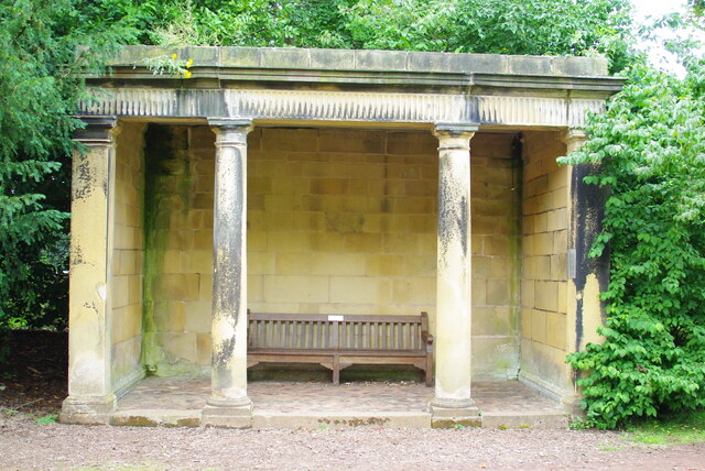
Seneschal's House, Halton
The Seneschal's House stands at the corner of Halton Brow and Main Street in Runcorn, Liverpool City Region. It is recorded in the National Heritage List...

Mersey Gateway Bridge
The Mersey Gateway Bridge is a toll bridge between Runcorn and Widnes in Cheshire, England, which spans the River Mersey and the Manchester Ship Canal...
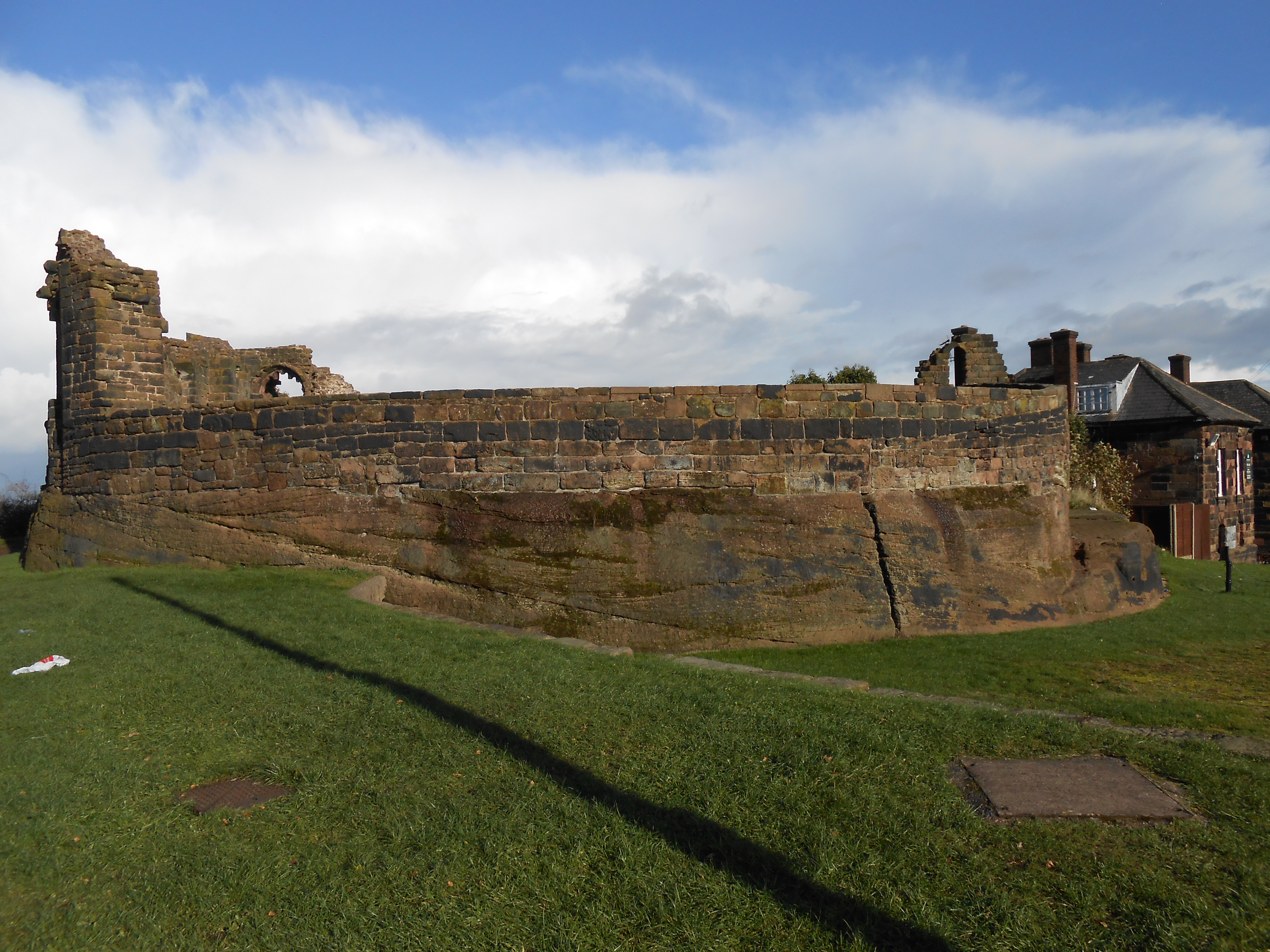
Halton Castle
Halton Castle is a castle in the village of Halton, part of the town of Runcorn, Cheshire, England. The castle is on the top of Halton Hill, a sandstone...

Old Quay Bridge
Old Quay Bridge is a Grade II listed swing bridge in Runcorn, England. == History == Old Quay Bridge is a swing bridge across the Manchester Ship Canal...
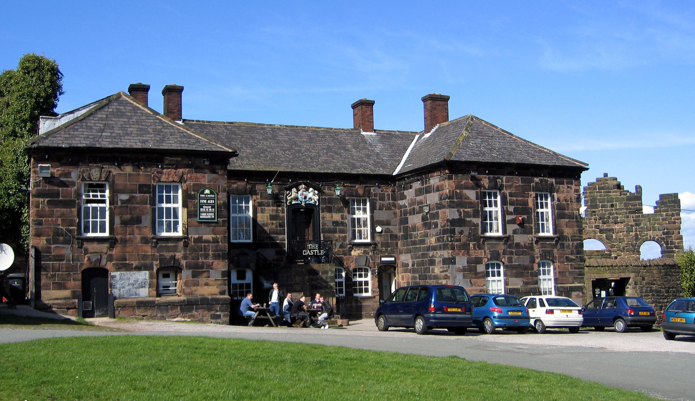
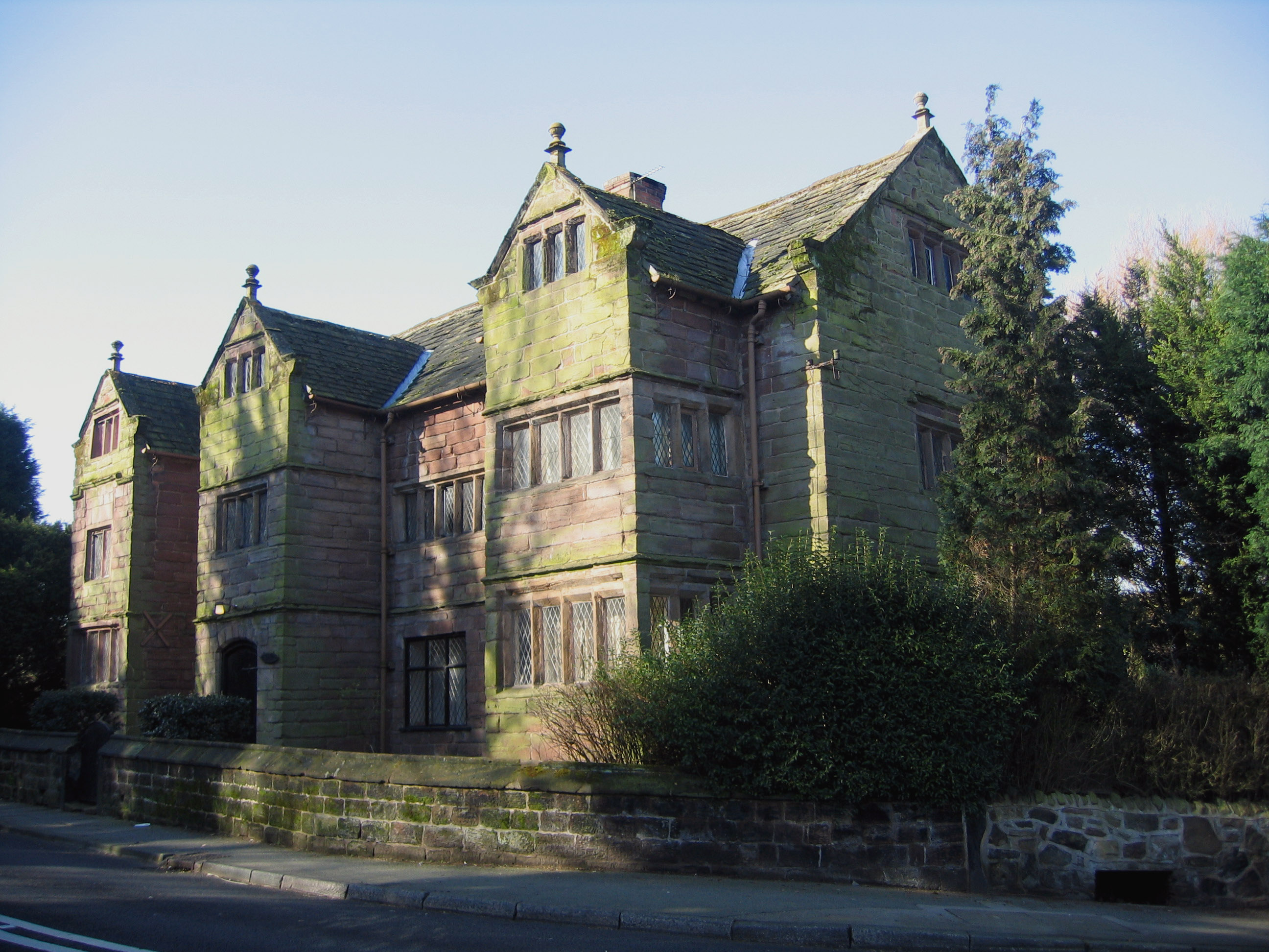
The Castle, Halton
The Castle, formerly known as The Castle Hotel, is a public house and former Georgian courthouse on Halton Hill in Halton, Runcorn, Cheshire, England....

The Grange Academy, Runcorn
The Grange Academy is a coeducational academy school in Runcorn, Cheshire. It is an all-through school providing primary and secondary education for pupils...
Nearby Amenities
Located within 500m of 53.343613,-2.702918Have you been to Astmoor?
Leave your review of Astmoor below (or comments, questions and feedback).