Round Wood
Wood, Forest in Hertfordshire East Hertfordshire
England
Round Wood

Round Wood is a charming village located in the county of Hertfordshire, England. Situated close to the town of Harpenden and about 30 miles north of London, this idyllic settlement is known for its picturesque surroundings and abundant natural beauty.
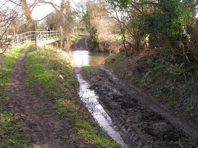
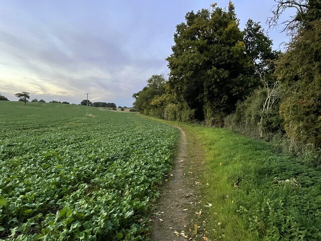
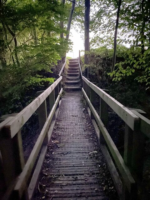
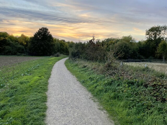
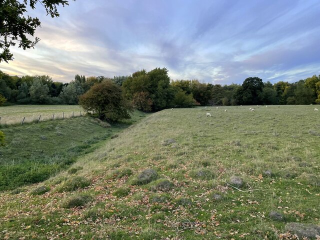
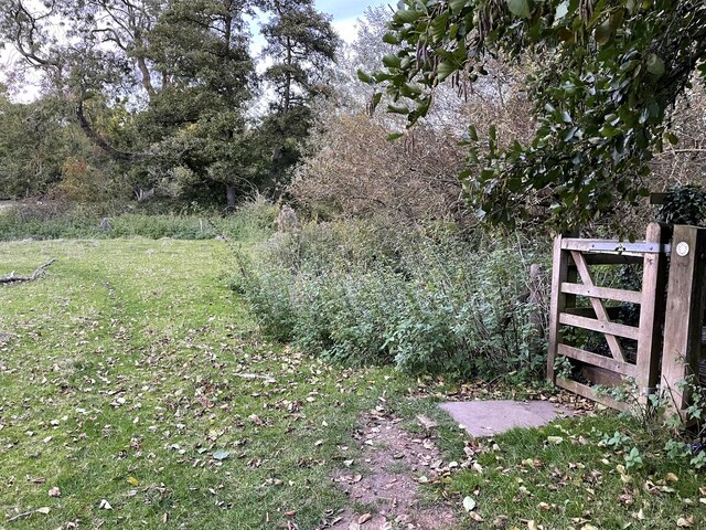
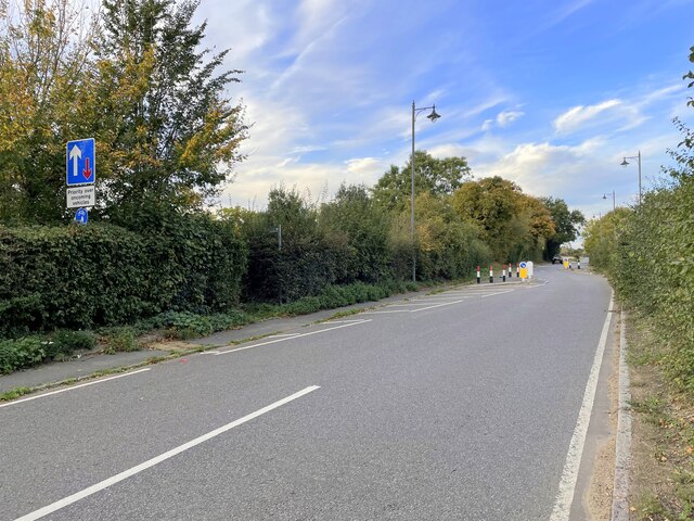
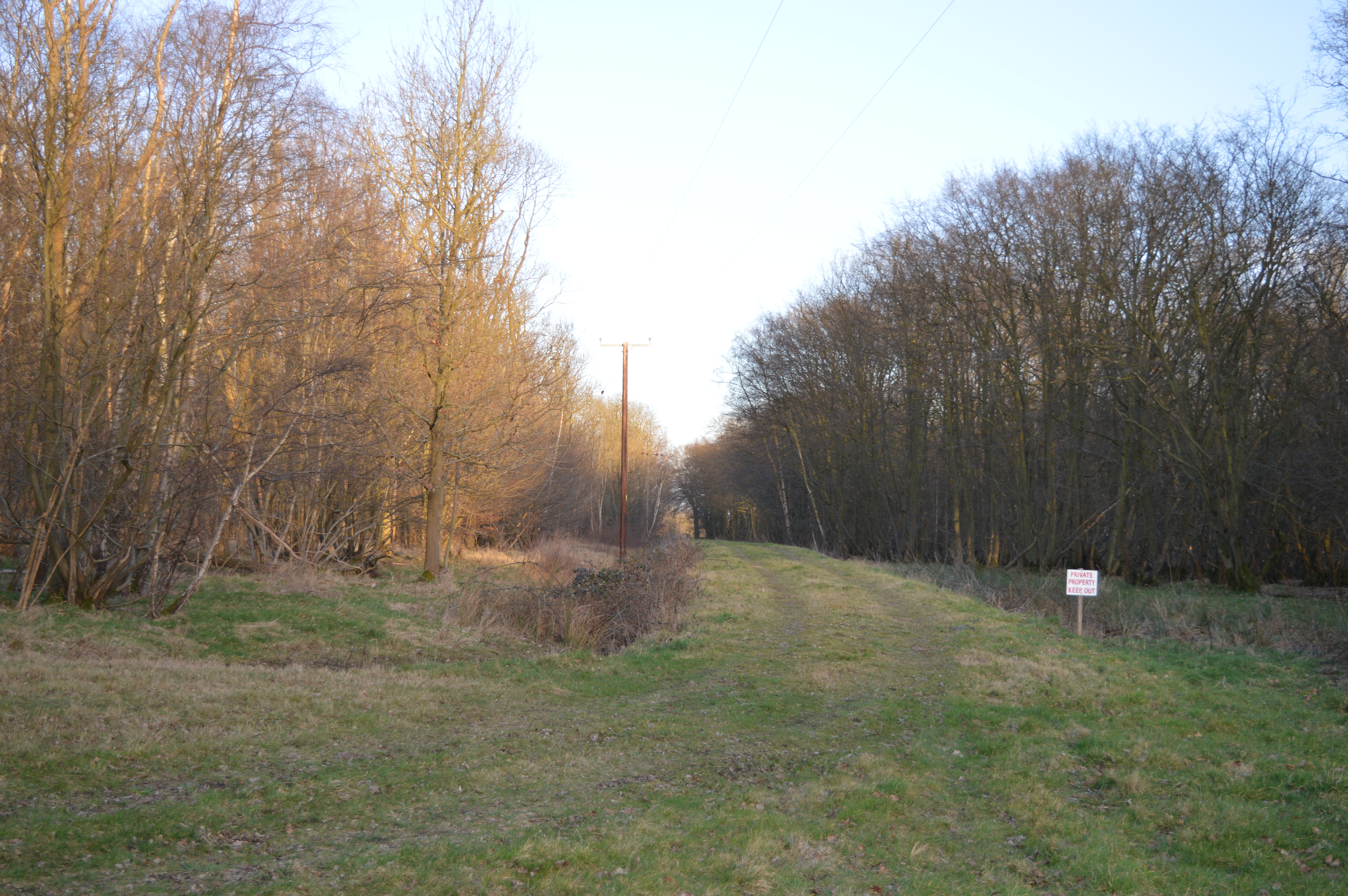
The village gets its name from the ancient woodland that surrounds it, aptly named Round Wood. This forest is a haven for nature enthusiasts and offers an array of walking and cycling trails, allowing visitors to explore its diverse flora and fauna. The wood is particularly popular during the spring season when it transforms into a vibrant display of bluebells, creating a stunning visual spectacle.
In addition to its natural splendor, Round Wood is also home to a close-knit community. The village features a range of residential properties, from quaint cottages to modern houses, providing a variety of accommodation options. The community is known for its friendly atmosphere and strong sense of community spirit, with regular events and gatherings organized throughout the year.
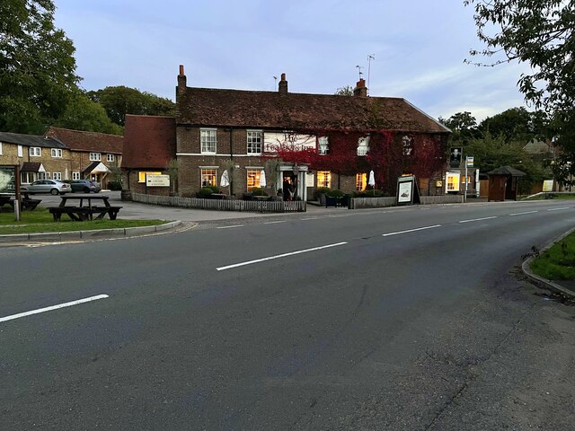
For amenities, Round Wood has a local pub that serves as a social hub for residents and visitors alike. The village is also within easy reach of nearby towns and cities, providing access to a wider range of shops, restaurants, and recreational facilities.
Overall, Round Wood offers a unique blend of natural beauty, community spirit, and convenient location, making it an ideal place for those seeking a peaceful rural lifestyle within easy reach of urban amenities.
If you have any feedback on the listing, please let us know in the comments section below.
Round Wood Images
Images are sourced within 2km of 51.847628/-0.002918137 or Grid Reference TL3718. Thanks to Geograph Open Source API. All images are credited.


Round Wood is located at Grid Ref: TL3718 (Lat: 51.847628, Lng: -0.002918137)
Administrative County: Hertfordshire
District: East Hertfordshire
Police Authority: Hertfordshire
What 3 Words
///gave.tested.voter. Near Ware, Hertfordshire
Nearby Locations
Related Wikis

Barwick, Hertfordshire
Barwick, Great Barwick, and Little Barwick (Berewyk 14th century, and Barrack 19th century) are hamlets in the civil parish of Standon in Hertfordshire...

Youngsbury
Youngsbury House is a Grade II listed house near Wadesmill, Hertfordshire, England. The stable block is Grade II* listed.The house was built in about 1745...

High Cross, East Hertfordshire
High Cross is a village in the civil parish of Thundridge, in the East Hertfordshire district, in Hertfordshire, England. It lies upon what was the A10...
Cold Christmas
Cold Christmas is a small hamlet in the civil parish of Thundridge, in the East Hertfordshire district, in the county of Hertfordshire, England. It is...

Standon Green End
Standon Green End is a hamlet situated just off the A10 road between Ware and Puckeridge in Hertfordshire. At the 2011 Census the population of the hamlet...
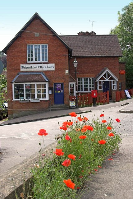
Wadesmill
Wadesmill is a hamlet in Hertfordshire, England, located on the north side of the River Rib, with an estimated population of 264. At the 2011 Census the...
Plashes Wood
Plashes Wood is a 71.9-hectare (178-acre) biological Site of Special Scientific Interest south of Standon in Hertfordshire. The local planning authority...

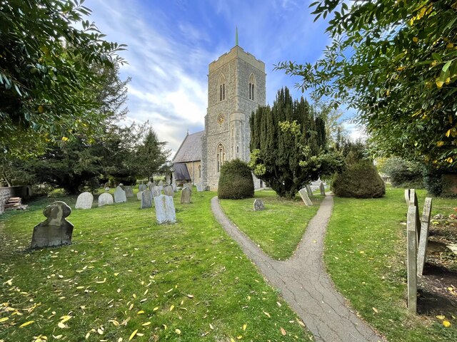
Thundridge
Thundridge is a village and civil parish in the East Hertfordshire district, in the county of Hertfordshire, England. It is about two miles away from...
Related Videos

Walks in Ware - Beacon Park / Fanham tributaries S01E05
Beacon Park Fanham tributaries - "Walks in Ware" is a series of videos encouraging people to keep fit and enjoy the countryside ...

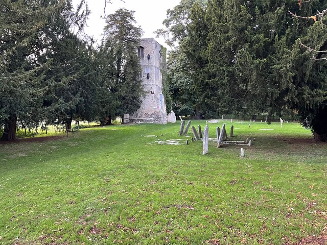
Thundridge Old Church or as I know it cold Christmas Church: aerial view
The Old Church of Thundridge, or as I call it Cold Christmas Church, dates as Norman 1086 and lasted until the building of the ...

Thundridge Old Church
The Old Church of Thundridge, sometimes called Cold Christmas Church to stop confusing with the New Church, is believed to ...
Exploring an Old Haunted Church Tower St Mary's Tower- Thundridge- Hertfordshire
You walk along an old beaten track which takes you out of the small village of Thundridge and into the countryside, following ...
Nearby Amenities
Located within 500m of 51.847628,-0.002918137Have you been to Round Wood?
Leave your review of Round Wood below (or comments, questions and feedback).