Ash Plantation

Wood, Forest in Hertfordshire East Hertfordshire

England

Ash Plantation

The A10 The A10 runs 161 miles from London to King's Lynn. via Cambridge and Ely. 
<span class="nowrap"><a title="http://www.sabre-roads.org.uk/wiki/index.php?title=A10" rel="nofollow ugc noopener" href="http://www.sabre-roads.org.uk/wiki/index.php?title=A10">Link</a><img style="margin-left:2px;" alt="External link" title="External link - shift click to open in new window" src="https://s1.geograph.org.uk/img/external.png" width="10" height="10"/></span>
The A10 Credit: N Chadwick

Ash Plantation is a picturesque woodland located in Hertfordshire, England. Covering an area of approximately 100 acres, it is known for its abundant ash trees, which give the plantation its name. The woodland is situated in a rural area, surrounded by rolling hills and meadows, providing a tranquil and serene atmosphere for visitors to enjoy.

The plantation features a diverse range of flora and fauna, with a rich variety of wildflowers, ferns, and mosses carpeting the forest floor. The towering ash trees create a dense canopy, allowing only dappled sunlight to filter through, creating an enchanting and mystical ambience.

The woodland is a haven for wildlife, attracting a wide array of bird species including woodpeckers, owls, and various migratory birds. Small mammals such as squirrels, badgers, and foxes can also be spotted in the plantation, making it a popular destination for nature enthusiasts and wildlife photographers.

Ash Plantation offers several well-maintained walking trails, allowing visitors to explore the woodland at their own pace. These trails wind through the forest, leading visitors past babbling brooks, ancient stone walls, and hidden clearings, offering a sense of adventure and discovery.

The plantation is open to the public year-round, with no admission fee, making it an accessible destination for individuals and families alike. Whether one seeks a peaceful walk in nature, a spot for birdwatching, or simply a place to unwind and connect with the natural world, Ash Plantation in Hertfordshire is a pristine and idyllic woodland that offers all of these experiences and more.

If you have any feedback on the listing, please let us know in the comments section below.

Ash Plantation Images

Images are sourced within 2km of 51.850279/-0.009755723 or Grid Reference TL3718. Thanks to Geograph Open Source API. All images are credited.

The A10 The A10 runs 161 miles from London to King's Lynn. via Cambridge and Ely. 
<span class="nowrap"><a title="http://www.sabre-roads.org.uk/wiki/index.php?title=A10" rel="nofollow ugc noopener" href="http://www.sabre-roads.org.uk/wiki/index.php?title=A10">Link</a><img style="margin-left:2px;" alt="External link" title="External link - shift click to open in new window" src="https://s1.geograph.org.uk/img/external.png" width="10" height="10"/></span>
The A10
The A10 runs 161 miles from London to King's Lynn. via Cambridge and Ely. LinkExternal link
A10, southbound The A10 runs 161 miles from London to King's Lynn. via Cambridge and Ely. 
<span class="nowrap"><a title="http://www.sabre-roads.org.uk/wiki/index.php?title=A10" rel="nofollow ugc noopener" href="http://www.sabre-roads.org.uk/wiki/index.php?title=A10">Link</a><img style="margin-left:2px;" alt="External link" title="External link - shift click to open in new window" src="https://s1.geograph.org.uk/img/external.png" width="10" height="10"/></span>
A10, southbound
The A10 runs 161 miles from London to King's Lynn. via Cambridge and Ely. LinkExternal link
St Mary's Church, Colliers End Redundant. According to this <span class="nowrap"><a title="https://hertfordshirechurches.wordpress.com/2013/05/12/st-mary-colliers-end/" rel="nofollow ugc noopener" href="https://hertfordshirechurches.wordpress.com/2013/05/12/st-mary-colliers-end/">Link</a><img style="margin-left:2px;" alt="External link" title="External link - shift click to open in new window" src="https://s1.geograph.org.uk/img/external.png" width="10" height="10"/></span> the church dates from 1910, and was built to the designs of "the donor of the land Ernest Wickham and the builder Mr C. Pritlove of nearby Wadesmill."
St Mary's Church, Colliers End
Redundant. According to this LinkExternal link the church dates from 1910, and was built to the designs of "the donor of the land Ernest Wickham and the builder Mr C. Pritlove of nearby Wadesmill."
Colliers End village hall Mid 19th-century village hall. Built in 1862 as a Church of England school - as reported at this <span class="nowrap"><a title="http://www.british-history.ac.uk/vch/herts/vol3/pp347-366" rel="nofollow ugc noopener" href="http://www.british-history.ac.uk/vch/herts/vol3/pp347-366">Link</a><img style="margin-left:2px;" alt="External link" title="External link - shift click to open in new window" src="https://s1.geograph.org.uk/img/external.png" width="10" height="10"/></span>.
Colliers End village hall
Mid 19th-century village hall. Built in 1862 as a Church of England school - as reported at this LinkExternal link.
The A10, Colliers End
Layby on the A10, Colliers End
The A10, Colliers End
Old Milestone by Ermine Street, Colliers End, Standon parish Metal plate attached to stone post by the former A10, in parish of STANDON (EAST HERTFORDSHIRE District), Colliers End, near 'Lamb and Flag' PH, in pavement adjacent to telephone kiosk, on West side of road. Wadesmill plate, erected by the Wadesmill turnpike trust in the 19th century. 

Inscription reads:-
LONDON
25
WARE
4
BUNTINGFORD
6

Grade II listed.  
List Entry Number: 1347490 <span class="nowrap"><a title="https://historicengland.org.uk/listing/the-list/list-entry/1347490" rel="nofollow ugc noopener" href="https://historicengland.org.uk/listing/the-list/list-entry/1347490">Link</a><img style="margin-left:2px;" alt="External link" title="External link - shift click to open in new window" src="https://s1.geograph.org.uk/img/external.png" width="10" height="10"/></span>

Milestone Society National ID: HE_LK25.
Old Milestone by Ermine Street, Colliers End, Standon parish
Metal plate attached to stone post by the former A10, in parish of STANDON (EAST HERTFORDSHIRE District), Colliers End, near 'Lamb and Flag' PH, in pavement adjacent to telephone kiosk, on West side of road. Wadesmill plate, erected by the Wadesmill turnpike trust in the 19th century. Inscription reads:- LONDON 25 WARE 4 BUNTINGFORD 6 Grade II listed. List Entry Number: 1347490 LinkExternal link Milestone Society National ID: HE_LK25.
Colliers End Village Hall This building, which bears a date of 1862, appears to be a village hall - despite the bell on the roof.  The village church is further down the road.  If anyone has further info - please let me know!
Colliers End Village Hall
This building, which bears a date of 1862, appears to be a village hall - despite the bell on the roof. The village church is further down the road. If anyone has further info - please let me know!
Fishers Farm Farm Buildings adjacent to Ermine Street in Colliers End.
Fishers Farm
Farm Buildings adjacent to Ermine Street in Colliers End.
Colliers End Looking along the old A10 - now deserted following the opening of the bypass.  A mixture of housing and the local garage.   How long the garage will survive remains to be seen.  The village church and pub are hidden behind the houses on the left.
Colliers End
Looking along the old A10 - now deserted following the opening of the bypass. A mixture of housing and the local garage. How long the garage will survive remains to be seen. The village church and pub are hidden behind the houses on the left.
St Mary's - Colliers End Small brick built church with small lych gate.
St Mary's - Colliers End
Small brick built church with small lych gate.
Standon Green End Farm This farm straddles four grid squares, TL 3520, 3620,3519, 3619. This picture is mainly on grid TL3620
Standon Green End Farm
This farm straddles four grid squares, TL 3520, 3620,3519, 3619. This picture is mainly on grid TL3620
Entrance to Colliers End
The Lamb and Flag, Colliers End
Old Milestone Old milestone next to the telephone box on what was the A.10 at Colliers End, Hertfordshire for close up view see <a title="https://www.geograph.org.uk/photo/3650909" href="https://www.geograph.org.uk/photo/3650909">Link</a>
Old Milestone
Old milestone next to the telephone box on what was the A.10 at Colliers End, Hertfordshire for close up view see Link
Show me another place!

Ash Plantation is located at Grid Ref: TL3718 (Lat: 51.850279, Lng: -0.009755723)

Administrative County: Hertfordshire

District: East Hertfordshire

Police Authority: Hertfordshire

What 3 Words

///signal.hype.unions. Near Ware, Hertfordshire

Related Wikis

Barwick, Hertfordshire

Barwick, Great Barwick, and Little Barwick (Berewyk 14th century, and Barrack 19th century) are hamlets in the civil parish of Standon in Hertfordshire...

Youngsbury

Youngsbury House is a Grade II listed house near Wadesmill, Hertfordshire, England. The stable block is Grade II* listed.The house was built in about 1745...

High Cross, East Hertfordshire

High Cross is a village in the civil parish of Thundridge, in the East Hertfordshire district, in Hertfordshire, England. It lies upon what was the A10...

Standon Green End

Standon Green End is a hamlet situated just off the A10 road between Ware and Puckeridge in Hertfordshire. At the 2011 Census the population of the hamlet...

Cold Christmas

Cold Christmas is a small hamlet in the civil parish of Thundridge, in the East Hertfordshire district, in the county of Hertfordshire, England. It is...
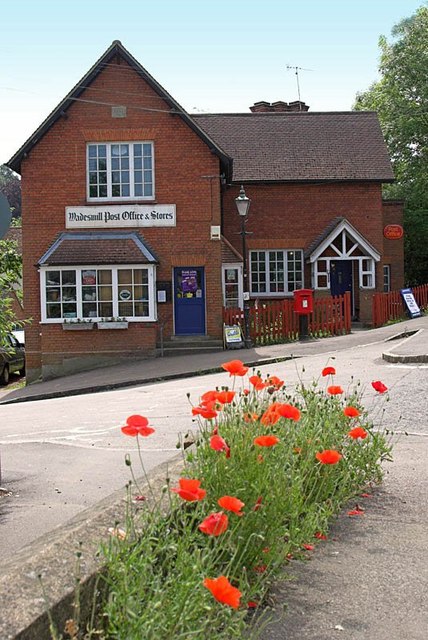
Wadesmill

Wadesmill is a hamlet in Hertfordshire, England, located on the north side of the River Rib, with an estimated population of 264. At the 2011 Census the...

Colliers End

Colliers End is a village in the civil parish of Standon, in the East Hertfordshire district, in Hertfordshire, England. It lies upon what was the A10...
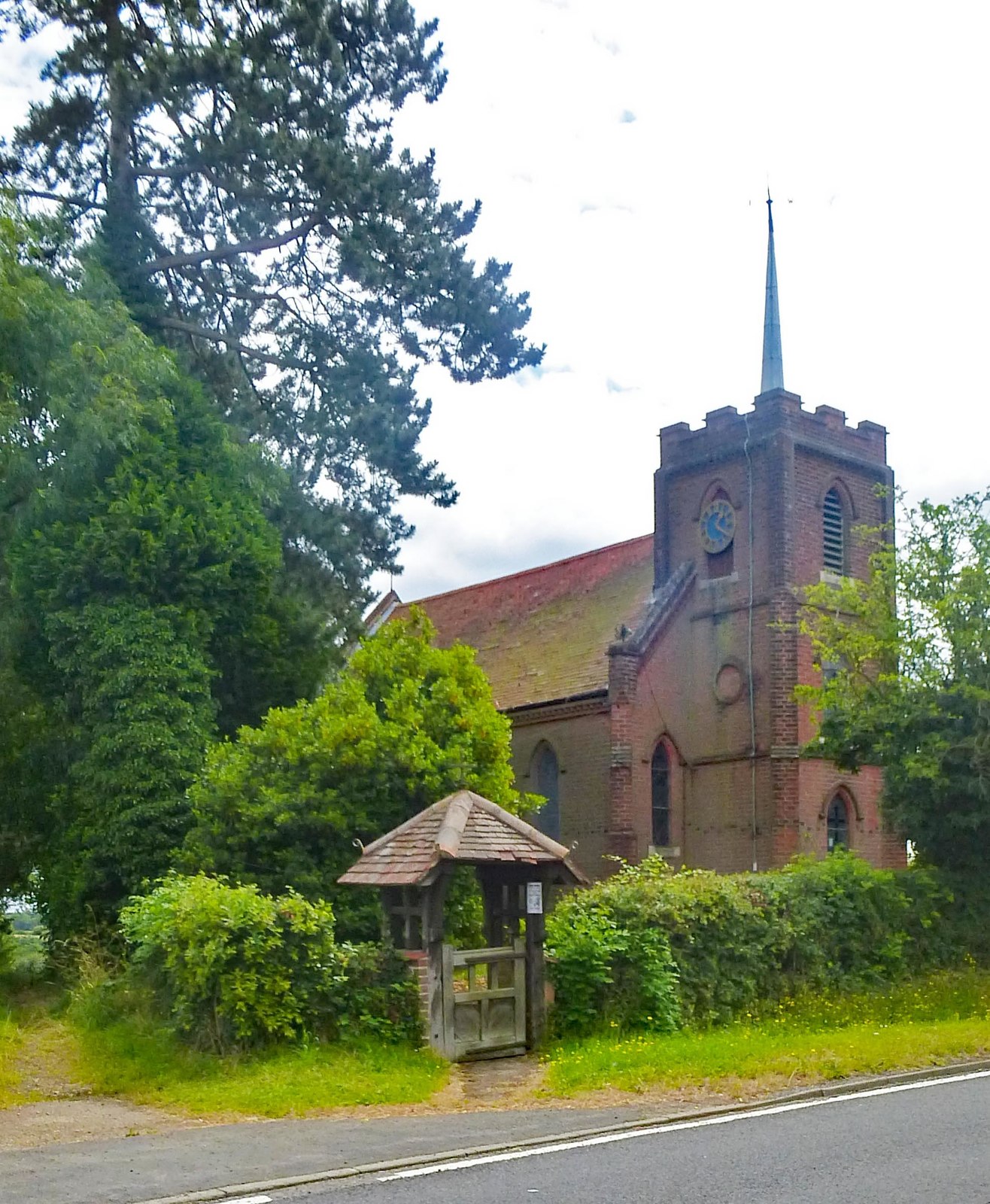
Thundridge

Thundridge is a village and civil parish in the East Hertfordshire district, in the county of Hertfordshire, England. It is about two miles away from...

Nearby Amenities

Located within 500m of 51.850279,-0.009755723
High Cross Airstrip
Aeroway: aerodrome
Lat/Long: 51.848411/-0.0074609
Material: wood
Power: pole
Lat/Long: 51.8478648/-0.0122417
Material: wood
Power: pole
Lat/Long: 51.8469767/-0.0120084
Material: wood
Power: pole
Lat/Long: 51.8485226/-0.0142856
Material: wood
Power: pole
Lat/Long: 51.8461399/-0.0118072
Power: pole
Lat/Long: 51.8488722/-0.0153638
Material: wood
Power: pole
Lat/Long: 51.8482691/-0.0134568
The data included in this document is from www.openstreetmap.org. The data is made available under ODbL.

Have you been to Ash Plantation?

Leave your review of Ash Plantation below (or comments, questions and feedback).