Bears Wood
Wood, Forest in Surrey
England
Bears Wood

Bears Wood is a beautiful forested area located in Surrey, England. Spanning approximately 100 acres, it is a popular destination for locals and visitors alike who seek tranquility and natural beauty. The wood is situated near the town of Walton-on-the-Hill, offering easy access for those living in the surrounding areas.
This ancient woodland is characterized by its dense canopy of trees, predominantly made up of oak and beech. The forest floor is covered with a lush carpet of ferns, bluebells, and other wildflowers, creating a picturesque landscape throughout the seasons. The diverse flora and fauna found in Bears Wood make it an ideal habitat for a variety of wildlife, including deer, foxes, badgers, and various species of birds.
The wood offers numerous trails and paths for exploration, making it a haven for walkers, hikers, and nature enthusiasts. Visitors can amble along well-maintained pathways, taking in the sights and sounds of the forest, or venture off the beaten track to discover hidden corners and secluded spots. The wood is equipped with informative signposts and interpretation boards that provide interesting facts about the flora and fauna found within the forest.
Bears Wood is also steeped in history, with evidence of human activity dating back to the Bronze Age. Archaeological remains, including ancient burial mounds and remnants of Iron Age settlements, can be found throughout the area. This adds an extra layer of intrigue and fascination for history buffs and those curious about the region's past.
Overall, Bears Wood is a natural treasure in Surrey, offering a peaceful retreat from the hustle and bustle of everyday life. Its stunning scenery, abundant wildlife, and rich history make it a must-visit destination for anyone seeking a connection with nature and a deeper understanding of the area's heritage.
If you have any feedback on the listing, please let us know in the comments section below.
Bears Wood Images
Images are sourced within 2km of 51.338936/-0.034770001 or Grid Reference TQ3661. Thanks to Geograph Open Source API. All images are credited.


Bears Wood is located at Grid Ref: TQ3661 (Lat: 51.338936, Lng: -0.034770001)
Unitary Authority: Croydon
Police Authority: Metropolitan
What 3 Words
///cubs.zoom.bless. Near West Wickham, London
Nearby Locations
Related Wikis

Forestdale, London
Forestdale is a residential neighbourhood of southeast London in the London Borough of Croydon. It is sometimes considered to be part of Addington, its...

Selsdon Wood
Selsdon Wood is a woodland area located in the London Borough of Croydon. The park is owned by the National Trust but managed by the London Borough of...

Hutchinson's Bank
Hutchinson's Bank is 21.8 hectare Local Nature Reserve and Site of Metropolitan Importance for Nature Conservation in New Addington in the London Borough...

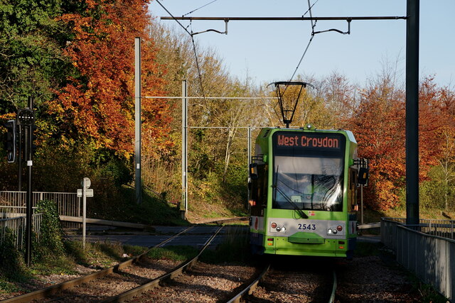
King Henry's Drive tram stop
King Henry's Drive tram stop is a light rail stop serving the Betchworth Way residential area of New Addington, in the London Borough of Croydon in the...

New Addington tram stop
New Addington is a terminal tram stop serving the centre of New Addington, in the London Borough of Croydon, in the southern suburbs of London. The tram...
New Addington
New Addington is an area of South London, England, within the London Borough of Croydon. It is located 5 miles south east of Croydon and is adjacent to...

New Addington Library
New Addington Library is a public library in New Addington, South London. It stands in the London Borough of Croydon and is part of the Croydon Libraries...
John Ruskin College
John Ruskin College is a further education college in South Croydon offering full-time vocational courses and apprenticeships as well as part-time courses...
Nearby Amenities
Located within 500m of 51.338936,-0.034770001Have you been to Bears Wood?
Leave your review of Bears Wood below (or comments, questions and feedback).