Longwalk Plantation

Wood, Forest in Hertfordshire East Hertfordshire

England

Longwalk Plantation

A10, southbound The A10 runs 161 miles from London to King's Lynn. via Cambridge and Ely. 
<span class="nowrap"><a title="http://www.sabre-roads.org.uk/wiki/index.php?title=A10" rel="nofollow ugc noopener" href="http://www.sabre-roads.org.uk/wiki/index.php?title=A10">Link</a><img style="margin-left:2px;" alt="External link" title="External link - shift click to open in new window" src="https://s1.geograph.org.uk/img/external.png" width="10" height="10"/></span>
A10, southbound Credit: N Chadwick

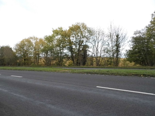
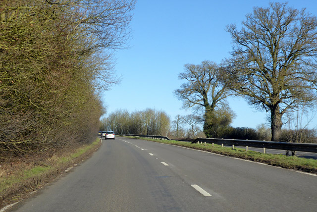
Longwalk Plantation is a picturesque woodland situated in Hertfordshire, England. Spanning over a vast area, it is known for its dense forest and towering trees, making it a haven for nature enthusiasts and outdoor adventurers alike.

The plantation is characterized by a variety of tree species, including oak, beech, birch, and pine, creating a diverse and vibrant ecosystem. The wooded area is home to numerous wildlife species, such as deer, rabbits, and various bird species, enhancing its natural charm and appeal.

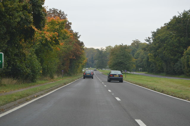
Longwalk Plantation offers a network of well-maintained walking trails, allowing visitors to explore the beauty of the woodland at their own pace. These trails wind through the forest, leading to enchanting clearings and hidden groves, providing breathtaking views and serene surroundings.

The plantation is a popular destination for activities such as hiking, birdwatching, and photography. Nature enthusiasts can immerse themselves in the tranquil ambiance, capturing the essence of the woodland's beauty through their lenses.

For those seeking a peaceful escape from the hustle and bustle of city life, Longwalk Plantation provides a serene retreat. The quietude and serenity of the woods offer an ideal setting for relaxation and meditation.

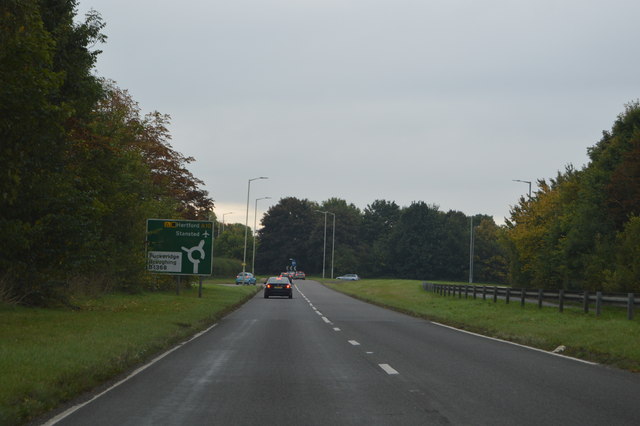
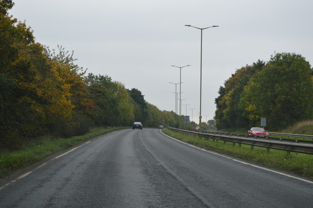
Longwalk Plantation is easily accessible, with well-marked entrances and ample parking facilities. It is open year-round, allowing visitors to experience the ever-changing beauty of the woodland across seasons.

Overall, Longwalk Plantation in Hertfordshire is a captivating destination that showcases the natural splendor of a British woodland. With its diverse flora and fauna, well-maintained trails, and peaceful atmosphere, it offers a memorable experience for anyone seeking solace in nature.

If you have any feedback on the listing, please let us know in the comments section below.

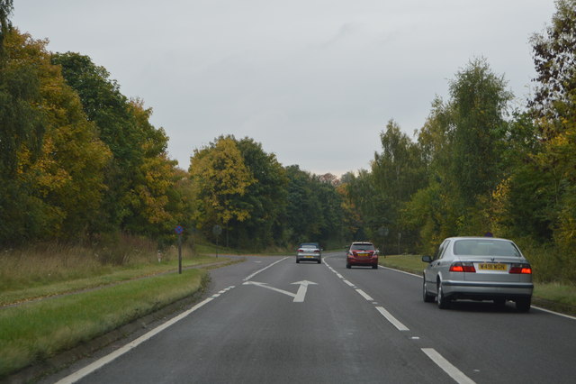
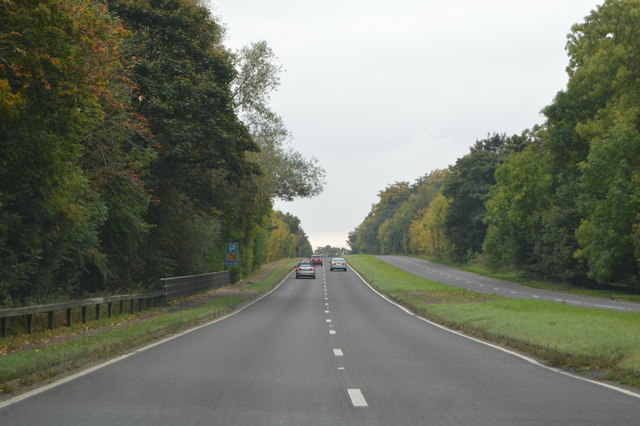
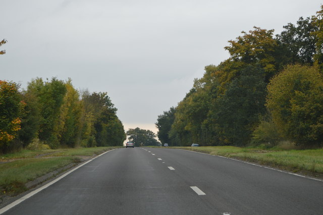
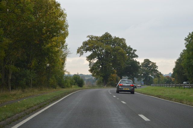
Longwalk Plantation Images

Images are sourced within 2km of 51.903538/-0.010149807 or Grid Reference TL3624. Thanks to Geograph Open Source API. All images are credited.

A10, southbound The A10 runs 161 miles from London to King's Lynn. via Cambridge and Ely. 
<span class="nowrap"><a title="http://www.sabre-roads.org.uk/wiki/index.php?title=A10" rel="nofollow ugc noopener" href="http://www.sabre-roads.org.uk/wiki/index.php?title=A10">Link</a><img style="margin-left:2px;" alt="External link" title="External link - shift click to open in new window" src="https://s1.geograph.org.uk/img/external.png" width="10" height="10"/></span>
A10, southbound
The A10 runs 161 miles from London to King's Lynn. via Cambridge and Ely. LinkExternal link
A10 at New Bridge The A10 runs 161 miles from London to King's Lynn. via Cambridge and Ely. 
<span class="nowrap"><a title="http://www.sabre-roads.org.uk/wiki/index.php?title=A10" rel="nofollow ugc noopener" href="http://www.sabre-roads.org.uk/wiki/index.php?title=A10">Link</a><img style="margin-left:2px;" alt="External link" title="External link - shift click to open in new window" src="https://s1.geograph.org.uk/img/external.png" width="10" height="10"/></span>
A10 at New Bridge
The A10 runs 161 miles from London to King's Lynn. via Cambridge and Ely. LinkExternal link
A10, southbound The A10 runs 161 miles from London to King's Lynn. via Cambridge and Ely. 
<span class="nowrap"><a title="http://www.sabre-roads.org.uk/wiki/index.php?title=A10" rel="nofollow ugc noopener" href="http://www.sabre-roads.org.uk/wiki/index.php?title=A10">Link</a><img style="margin-left:2px;" alt="External link" title="External link - shift click to open in new window" src="https://s1.geograph.org.uk/img/external.png" width="10" height="10"/></span>
A10, southbound
The A10 runs 161 miles from London to King's Lynn. via Cambridge and Ely. LinkExternal link
A10 approaching a roundabout The A10 runs 161 miles from London to King's Lynn. via Cambridge and Ely. 
<span class="nowrap"><a title="http://www.sabre-roads.org.uk/wiki/index.php?title=A10" rel="nofollow ugc noopener" href="http://www.sabre-roads.org.uk/wiki/index.php?title=A10">Link</a><img style="margin-left:2px;" alt="External link" title="External link - shift click to open in new window" src="https://s1.geograph.org.uk/img/external.png" width="10" height="10"/></span>
A10 approaching a roundabout
The A10 runs 161 miles from London to King's Lynn. via Cambridge and Ely. LinkExternal link
A10, Puckeridge bypass The A10 runs 161 miles from London to King's Lynn. via Cambridge and Ely. 
<span class="nowrap"><a title="http://www.sabre-roads.org.uk/wiki/index.php?title=A10" rel="nofollow ugc noopener" href="http://www.sabre-roads.org.uk/wiki/index.php?title=A10">Link</a><img style="margin-left:2px;" alt="External link" title="External link - shift click to open in new window" src="https://s1.geograph.org.uk/img/external.png" width="10" height="10"/></span>
A10, Puckeridge bypass
The A10 runs 161 miles from London to King's Lynn. via Cambridge and Ely. LinkExternal link
The entrance to KB Tyres, Puckeridge
"The White Hart" public house, Puckeridge Grade II listed public house, described at this <span class="nowrap"><a title="https://historicengland.org.uk/listing/the-list/list-entry/1102372" rel="nofollow ugc noopener" href="https://historicengland.org.uk/listing/the-list/list-entry/1102372">Link</a><img style="margin-left:2px;" alt="External link" title="External link - shift click to open in new window" src="https://s1.geograph.org.uk/img/external.png" width="10" height="10"/></span>.
"The White Hart" public house, Puckeridge
Grade II listed public house, described at this LinkExternal link.
Roundabout on the A10, Puckeridge You don't normally need a give way sign on a roundabout, this was put up since 2009 maybe as people were not complying.
Roundabout on the A10, Puckeridge
You don't normally need a give way sign on a roundabout, this was put up since 2009 maybe as people were not complying.
The A10, Braughing
The A10, Braughing
The A10, Braughing
The A10, Braughing
Northbound A10 A roundabout north of Puckeridge where the B 1368 leaves to the right.
Northbound A10
A roundabout north of Puckeridge where the B 1368 leaves to the right.
Northbound A10 There were no queues today.  The dual carriageway finishes some way ahead, no doubt this would be what causes queues.
Northbound A10
There were no queues today. The dual carriageway finishes some way ahead, no doubt this would be what causes queues.
Northbound A10
Northbound A10
Northbound A10 A widely separated dual carriageway here, a swansong as the road becomes single carriageway not far ahead.
Northbound A10
A widely separated dual carriageway here, a swansong as the road becomes single carriageway not far ahead.
Old Milestone in Hamels Park Golf Course Carved stone post was beside the A10, in parish of BRAUGHING (EAST HERTFORDSHIRE District), then to 400m North up the drive of Hamels Park, now in grounds of Hammels Golf Course. Wadesmill plate, erected by the Wadesmill turnpike trust in the 19th century. 

Inscription reads:-
: XXIII / Miles / To / Cambridge : : XXVIII / Miles From / Shore Ditch / Church / LONDON : 

Grade II listed. List Entry Number: 1102326
<span class="nowrap"><a title="https://historicengland.org.uk/listing/the-list/list-entry/1102326" rel="nofollow ugc noopener" href="https://historicengland.org.uk/listing/the-list/list-entry/1102326">Link</a><img style="margin-left:2px;" alt="External link" title="External link - shift click to open in new window" src="https://s1.geograph.org.uk/img/external.png" width="10" height="10"/></span>

Milestone Society National ID: HE_LK28.
Old Milestone in Hamels Park Golf Course
Carved stone post was beside the A10, in parish of BRAUGHING (EAST HERTFORDSHIRE District), then to 400m North up the drive of Hamels Park, now in grounds of Hammels Golf Course. Wadesmill plate, erected by the Wadesmill turnpike trust in the 19th century. Inscription reads:- : XXIII / Miles / To / Cambridge : : XXVIII / Miles From / Shore Ditch / Church / LONDON : Grade II listed. List Entry Number: 1102326 LinkExternal link Milestone Society National ID: HE_LK28.
Show me another place!

Longwalk Plantation is located at Grid Ref: TL3624 (Lat: 51.903538, Lng: -0.010149807)

Administrative County: Hertfordshire

District: East Hertfordshire

Police Authority: Hertfordshire

What 3 Words

///hopping.craftsmen.modem. Near Puckeridge, Hertfordshire

Related Wikis

Puckeridge

Puckeridge is a village in East Hertfordshire, England with a population of 3,561 (2011 Census). It is in the civil parish of Standon. == History == The...

East Hertfordshire

East Hertfordshire is one of ten local government districts in Hertfordshire, England. Its council is based in Hertford, the county town of Hertfordshire...

Nasty, Hertfordshire

Nasty is a hamlet in the East Hertfordshire district of Hertfordshire, England. It is in Great Munden civil parish, around 6 miles (10 km) north of Ware...

Great Munden

Great Munden is a village and civil parish in Hertfordshire, England. The parish, in the district of East Hertfordshire, spans 3,758 acres (5.872 sq mi...

Braughing (Roman town)

Braughing was a small town in the Roman province of Britannia. Its name in Latin is unknown. == Location == Today the site is partially occupied by the...

Braughing railway station

Braughing railway station served the village of Braughing, Hertfordshire, England, from 1863 to 1964 on the Buntingford branch line. == History == The...

North East Hertfordshire (UK Parliament constituency)

North East Hertfordshire is a constituency represented in the House of Commons of the UK Parliament since 1997 by Oliver Heald, a Conservative. == Constituency... ==

Cherry Green, Hertfordshire

Cherry Green is a hamlet in the East Hertfordshire District, in the county of Hertfordshire, England. The post town for Cherry Green is the nearby town...

Nearby Amenities

Located within 500m of 51.903538,-0.010149807
Power: pole
Lat/Long: 51.9025707/-0.0142021
Power: pole
Lat/Long: 51.902147/-0.015322
Power: pole
Lat/Long: 51.9034637/-0.0116302
Power: pole
Lat/Long: 51.9047942/-0.0064374
Power: pole
Lat/Long: 51.9017029/-0.0164957
Power: pole
Lat/Long: 51.9044401/-0.0076605
Power: pole
Lat/Long: 51.9046188/-0.0043345
Power: pole
Lat/Long: 51.906459/-0.0063087
Power: pole
Lat/Long: 51.9041594/-0.0089718
The data included in this document is from www.openstreetmap.org. The data is made available under ODbL.

Have you been to Longwalk Plantation?

Leave your review of Longwalk Plantation below (or comments, questions and feedback).