Cozens Grove
Wood, Forest in Hertfordshire Broxbourne
England
Cozens Grove
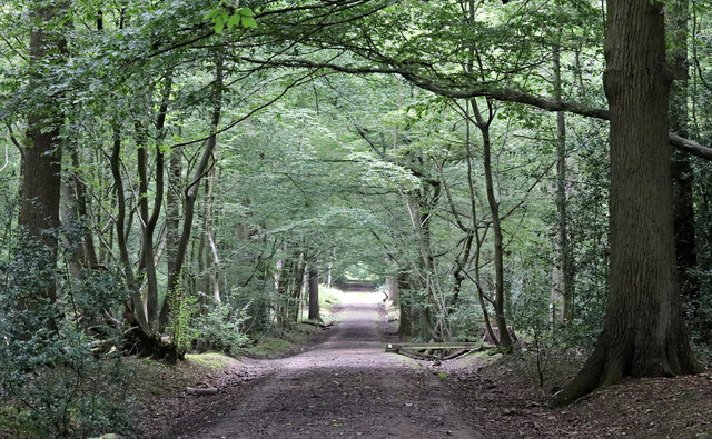
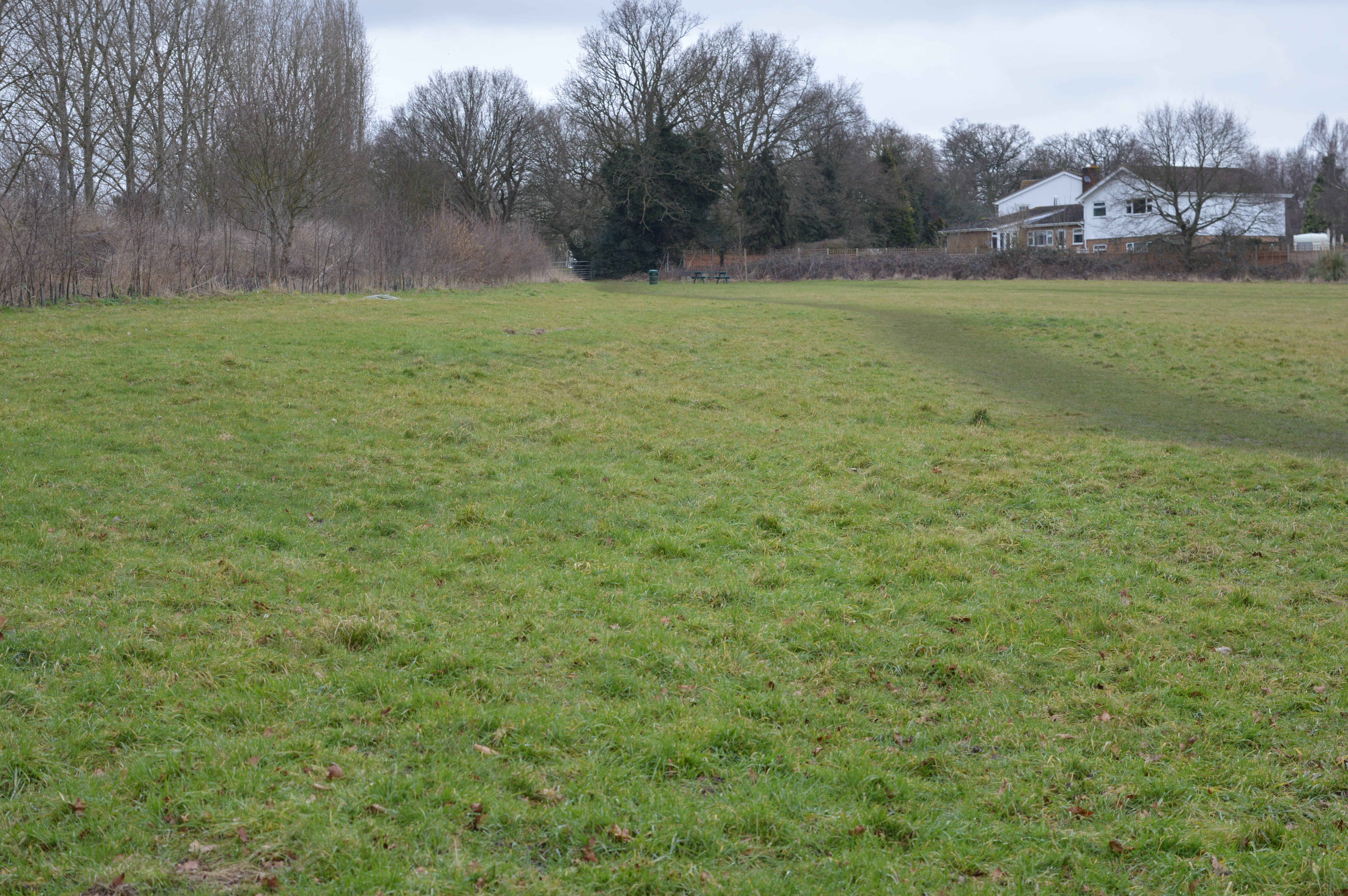
Cozens Grove is a picturesque woodland located in the county of Hertfordshire, England. Situated near the town of Buntingford, this enchanting forest covers an area of approximately 100 hectares and is known for its diverse range of flora and fauna.
The woodland is primarily composed of oak and beech trees, providing a dense canopy that filters the sunlight and creates a serene and peaceful atmosphere. The forest floor is covered in a lush carpet of moss, ferns, and wildflowers, adding to the natural beauty of Cozens Grove.
The forest is traversed by a network of walking trails, making it a popular destination for hikers, nature enthusiasts, and families seeking a tranquil escape from the bustling city life. These trails lead visitors through various habitats, including meadows, ponds, and wetlands, offering a chance to observe a wide variety of wildlife.
Cozens Grove is home to a diverse range of animal species, including deer, foxes, badgers, and numerous bird species, such as woodpeckers and owls. It provides an important habitat for many endangered and protected species, making it a site of ecological significance.
The forest also holds historical significance, with evidence of human habitation dating back to the medieval period. Remnants of old settlements and ancient burial mounds can still be found within the woodland, providing glimpses into the region's rich past.
Overall, Cozens Grove in Hertfordshire is a captivating woodland that offers visitors a chance to immerse themselves in nature, explore its diverse ecosystems, and appreciate the beauty of this natural haven.
If you have any feedback on the listing, please let us know in the comments section below.
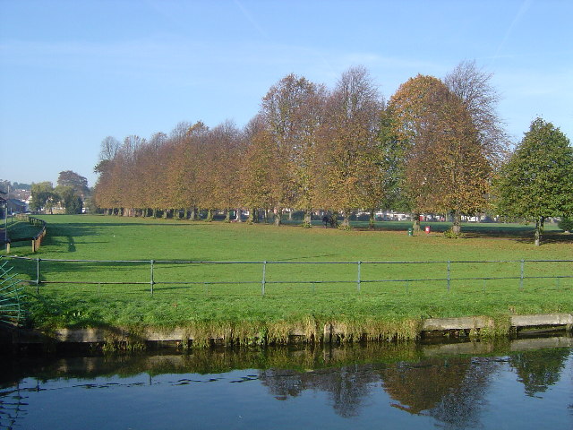
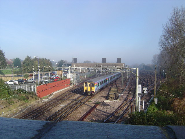
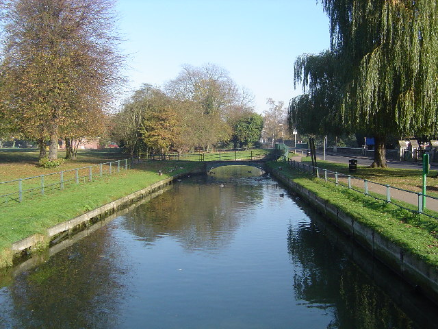
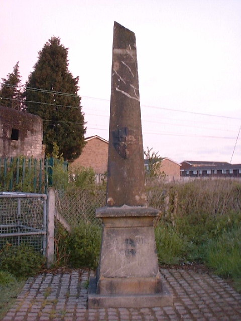
Cozens Grove Images
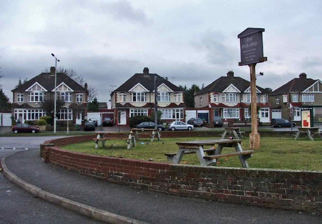
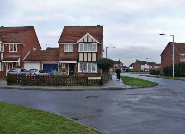
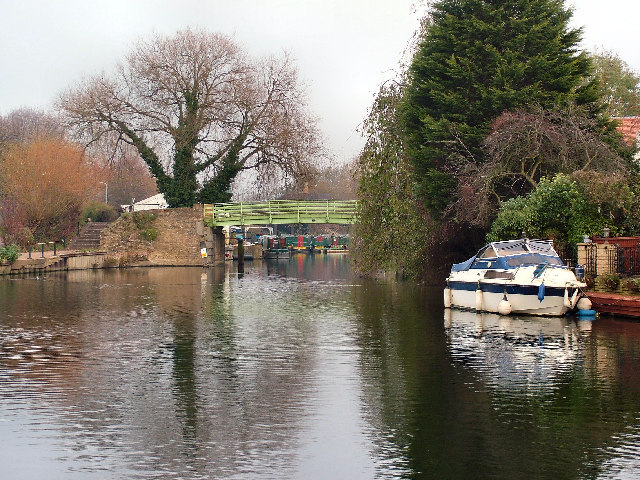
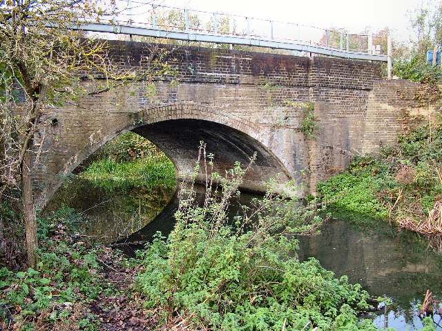
Images are sourced within 2km of 51.740569/-0.029210113 or Grid Reference TL3606. Thanks to Geograph Open Source API. All images are credited.


Cozens Grove is located at Grid Ref: TL3606 (Lat: 51.740569, Lng: -0.029210113)
Administrative County: Hertfordshire
District: Broxbourne
Police Authority: Hertfordshire
What 3 Words
///gazed.wake.deed. Near Broxbourne, Hertfordshire
Nearby Locations
Related Wikis
Top Field and Cozens Grove
Top Field and Cozens Grove is a 6.1 hectare Local Nature Reserve in Wormley in Hertfordshire. It is owned and managed by Broxbourne Borough Council.Top...

The Broxbourne School
The Broxbourne School is a coeducational secondary school and sixth form with academy status located in Broxbourne, Hertfordshire, England. The school...
Wormley Rovers F.C.
Wormley Rovers Football Club is a football club based in Wormley, Hertfordshire. They are currently members of the Eastern Counties League Division One...
Cannix
Cannix otherwise Canwykes or Broxbournes, is an area near Broxbourne, Hertfordshire, England. It was named from its early tenants, and was held of the...
Broxbournebury Manor
Broxbournebury Manor is a country club in Broxbourne, Hertfordshire, England. It is a building of historical significance and is listed on the English...

Wormleybury
Wormleybury is an 18th-century house surrounded by a landscaped park of 57 ha (140 acres) near Wormley in Broxbourne, Hertfordshire, England, a few miles...

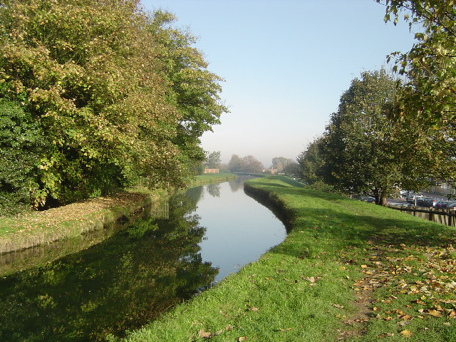
Broxbourne Mill Stream
The Broxbourne Mill Stream which diverges from the River Lee Navigation just south of Dobbs Weir, is one of the few remaining 'old river' loops of the...

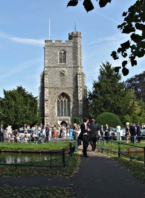
St Augustine's Church, Broxbourne
St Augustine's Church is an active Church in Broxbourne, Hertfordshire, England. The church stands opposite the New River. It is recorded in the National...
Nearby Amenities
Located within 500m of 51.740569,-0.029210113Have you been to Cozens Grove?
Leave your review of Cozens Grove below (or comments, questions and feedback).