Hell Wood

Wood, Forest in Hertfordshire Broxbourne

England

Hell Wood
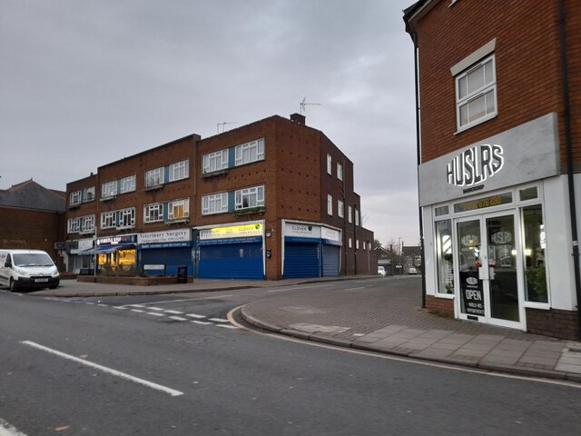
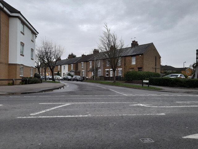
Shops on High Street, Cheshunt
Shops on High Street, Cheshunt Credit: David Howard

Hell Wood is a small yet significant woodland located in Hertfordshire, England. Situated near the town of Hertford, this ancient forest covers an area of approximately 10 acres. Despite its name, Hell Wood does not possess any supernatural or eerie qualities; rather, it derives its name from the Old English word "helle," meaning a hidden or secluded place.

The woodland is predominantly composed of deciduous trees such as oak, beech, and ash, creating a lush and diverse ecosystem. The dense canopy provides a haven for various bird species, including woodpeckers, owls, and songbirds, making it a popular spot for birdwatchers. Additionally, the forest floor is home to an array of flora, including bluebells, wild garlic, and ferns, which create a stunning display during the spring and summer months.

Hell Wood is known for its peaceful and tranquil atmosphere, attracting nature enthusiasts, hikers, and those seeking an escape from the hustle and bustle of everyday life. Several footpaths wind through the forest, allowing visitors to explore its natural beauty and take in the fresh air. The wood is also a favorite spot for picnickers, who can find secluded areas to enjoy their meals surrounded by nature.

With its accessibility and serene surroundings, Hell Wood offers a welcome respite for locals and tourists alike. Whether it be a leisurely stroll, birdwatching, or simply enjoying the beauty of nature, this enchanting woodland is a hidden gem in Hertfordshire.

If you have any feedback on the listing, please let us know in the comments section below.

Hell Wood Images

Images are sourced within 2km of 51.724386/-0.037501142 or Grid Reference TL3504. Thanks to Geograph Open Source API. All images are credited.
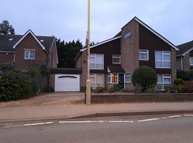
Shops on High Street, Cheshunt
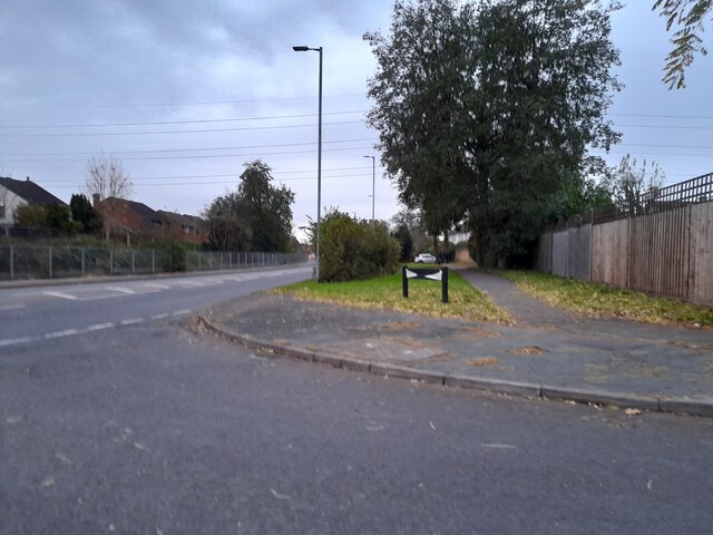
Mill Lane at the junction of High Street, Cheshunt
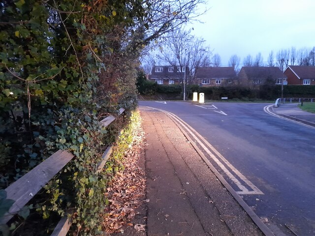
Brookfield Lane West, Turnford The road is split in two by the A10
Brookfield Lane West, Turnford
The road is split in two by the A10
Field by Brookfield Lane West, Turnford
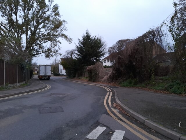
Brookfield Lane West, Turnford
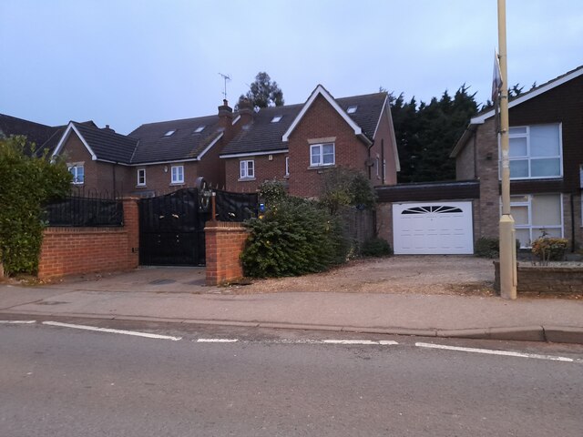
Houses on Brookfield Lane West, Turnford
Southbrook Drive, Turnford
Brookfield Lane West, Turnford
Modern house on Brookfield Road West, Flamstead End This style was popular in the 70s, I had a flat like it once. <a title="https://www.geograph.org.uk/photo/4839443" href="https://www.geograph.org.uk/photo/4839443">Link</a>
Modern house on Brookfield Road West, Flamstead End
This style was popular in the 70s, I had a flat like it once. Link
Houses on Brookfield Road West, Flamstead End
Houses on Perrysfield Road, Turnford The birch tree has suffered a recent accident, it was perfect a few years earlier.
Houses on Perrysfield Road, Turnford
The birch tree has suffered a recent accident, it was perfect a few years earlier.
Perrysfield Road, Turnford
Cheshunt Wash at the corner of Perrysfield Road
High Road, Turnford
High Road, Turnford
Great Cambridge Road, Turnford I didn't realise the Great Cambridge Road split in Cheshunt, as this is the name of it from Tottenham onwards, but no longer follows the newer section of the A10 but remained with the original part.
Great Cambridge Road, Turnford
I didn't realise the Great Cambridge Road split in Cheshunt, as this is the name of it from Tottenham onwards, but no longer follows the newer section of the A10 but remained with the original part.
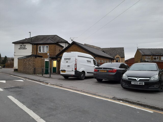
The Old English Gentleman pub, Cheshunt
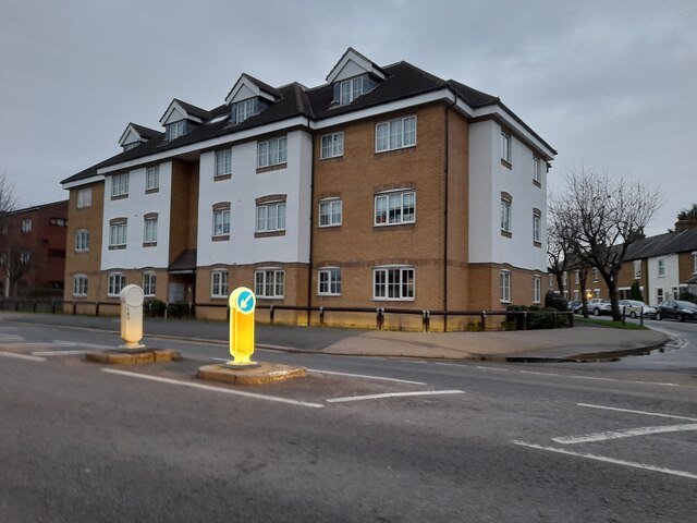
Flats on High Street, Cheshunt
Bridge 37a Lee Navigation The present wooden footbridge is south of the site of the former brick bridge - the abutments of which can be seen here.
Bridge 37a Lee Navigation
The present wooden footbridge is south of the site of the former brick bridge - the abutments of which can be seen here.
Show me another place!

Hell Wood is located at Grid Ref: TL3504 (Lat: 51.724386, Lng: -0.037501142)

Administrative County: Hertfordshire

District: Broxbourne

Police Authority: Hertfordshire

What 3 Words

///delay.horns.grain. Near Cheshunt, Hertfordshire

Nearby Locations

Hell Wood Spring Wood

Related Wikis

Wormleybury Brook

Wormleybury Brook is a tributary of the River Lea which rises in the hills south of White Stubbs Lane in Hertfordshire, England.

Turnford, Hertfordshire

Turnford is a village in the Borough of Broxbourne, in Hertfordshire, England, in an area generally known as the Lee Valley. It is bounded by Wormley to...

Cheshunt Park

Cheshunt Park is a 40 hectare public park and Local Nature Reserve in Cheshunt in Hertfordshire. It is owned and managed by Broxbourne Borough Council...

Wormleybury

Wormleybury is an 18th-century house surrounded by a landscaped park of 57 ha (140 acres) near Wormley in Broxbourne, Hertfordshire, England, a few miles...

Nearby Amenities

Located within 500m of 51.724386,-0.037501142
Motorway Junction
Turnford Interchange
Lat/Long: 51.723166/-0.0334234
Created By: YahooApplet 1.0
Lat/Long: 51.7229905/-0.0319628
Created By: YahooApplet 1.0
Lat/Long: 51.7239748/-0.0309322
Created By: YahooApplet 1.0
Lat/Long: 51.7223018/-0.03376
Created By: YahooApplet 1.0
Lat/Long: 51.7218555/-0.0360682
Created By: YahooApplet 1.0
Lat/Long: 51.7204822/-0.0382075
Created By: YahooApplet 1.0
Lat/Long: 51.7224542/-0.0330119
Created By: YahooApplet 1.0
Lat/Long: 51.7261654/-0.0311609
Created By: YahooApplet 1.0
Lat/Long: 51.7204694/-0.0380918
Created By: YahooApplet 1.0
Lat/Long: 51.7226103/-0.0432309
Created By: YahooApplet 1.0
Lat/Long: 51.7225039/-0.0419005
Created By: YahooApplet 1.0
Lat/Long: 51.7222381/-0.0411709
Created By: YahooApplet 1.0
Lat/Long: 51.7219191/-0.040613
Created By: YahooApplet 1.0
Lat/Long: 51.7218659/-0.0395402
Created By: YahooApplet 1.0
Lat/Long: 51.7215469/-0.039111
Created By: YahooApplet 1.0
Lat/Long: 51.7211166/-0.0378192
Created By: YahooApplet 1.0
Lat/Long: 51.7205452/-0.0383127
Created By: YahooApplet 1.0
Lat/Long: 51.7268927/-0.0334645
Created By: YahooApplet 1.0
Lat/Long: 51.7262082/-0.0315762
Created By: YahooApplet 1.0
Lat/Long: 51.7263942/-0.0315011
Created By: YahooApplet 1.0
Lat/Long: 51.7268196/-0.0322628
Created By: YahooApplet 1.0
Lat/Long: 51.7272117/-0.0334966
Created By: YahooApplet 1.0
Lat/Long: 51.7269724/-0.0322199
Created By: YahooApplet 1.0
Lat/Long: 51.7270389/-0.0336039
Created By: YahooApplet 1.0
Lat/Long: 51.7260753/-0.0338507
Created By: YahooApplet 1.0
Lat/Long: 51.7226824/-0.0324609
Created By: YahooApplet 1.0
Lat/Long: 51.7233681/-0.0314512
Created By: YahooApplet 1.0
Lat/Long: 51.7216623/-0.0367689
Barrier: yes
Lat/Long: 51.724336/-0.0326536
River Island
Addr Place: Brookfield Retail Park
Addr Postcode: EN8 0QE
Addr Unit: 1
Brand: River Island
Brand Wikidata: Q2670328
Shop: clothes
Lat/Long: 51.7199224/-0.0378285
Marker: aerial
Utility: oil
Lat/Long: 51.7253627/-0.0337042
Street Lamp
Lat/Long: 51.7253312/-0.0336888
Street Lamp
Lat/Long: 51.7256108/-0.0338103
Street Lamp
Lat/Long: 51.7258874/-0.0339536
Street Lamp
Lat/Long: 51.7260532/-0.0340594
Street Lamp
Lat/Long: 51.7262835/-0.0342738
Street Lamp
Lat/Long: 51.7250423/-0.0336181
Street Lamp
Lat/Long: 51.7247622/-0.0335531
Street Lamp
Lat/Long: 51.7244821/-0.0335418
Street Lamp
Lat/Long: 51.724189/-0.0335243
Street Lamp
Lat/Long: 51.7237553/-0.03352
Marker: post
Utility: oil
Lat/Long: 51.7253512/-0.0335377
Street Lamp
Lat/Long: 51.7232825/-0.0335362
Street Lamp
Lat/Long: 51.7228228/-0.0335566
The data included in this document is from www.openstreetmap.org. The data is made available under ODbL.

Have you been to Hell Wood?

Leave your review of Hell Wood below (or comments, questions and feedback).