Spring Wood

Wood, Forest in Hertfordshire Broxbourne

England

Spring Wood

Mill Lane at the junction of High Street, Cheshunt
Mill Lane at the junction of High Street, Cheshunt Credit: David Howard

Spring Wood is a picturesque forest located in Hertfordshire, England. Situated near the village of Wood, this woodland area covers approximately 100 acres of land. It is a popular destination for nature enthusiasts, hikers, and families looking to enjoy a peaceful day out in the countryside.

The woodland is predominantly made up of deciduous trees, such as oak, beech, and birch, which provide a vibrant display of colors during the spring and autumn seasons. The forest floor is adorned with a variety of wildflowers, adding to its natural beauty. Spring Wood is also home to a diverse range of wildlife, including squirrels, rabbits, foxes, and numerous bird species.

There are several well-maintained footpaths that meander through the wood, allowing visitors to explore and discover its hidden gems. These paths are suitable for all levels of walkers, from casual strollers to more experienced hikers. The tranquility of the surroundings makes it an ideal place for birdwatching, photography, or simply enjoying a picnic amidst nature.

The wood is managed by the local council, ensuring its preservation and accessibility to the public. Visitors are encouraged to respect the natural environment and adhere to any guidelines or restrictions in place. Spring Wood offers a peaceful escape from the hustle and bustle of everyday life, providing a serene setting for relaxation and connection with nature.

If you have any feedback on the listing, please let us know in the comments section below.
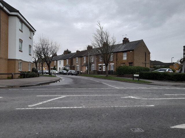
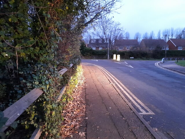
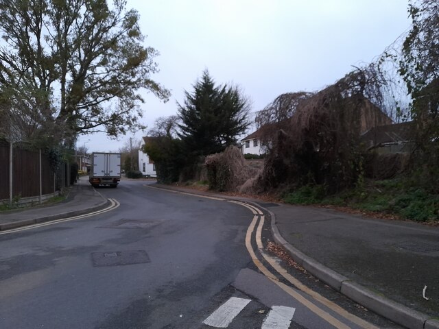
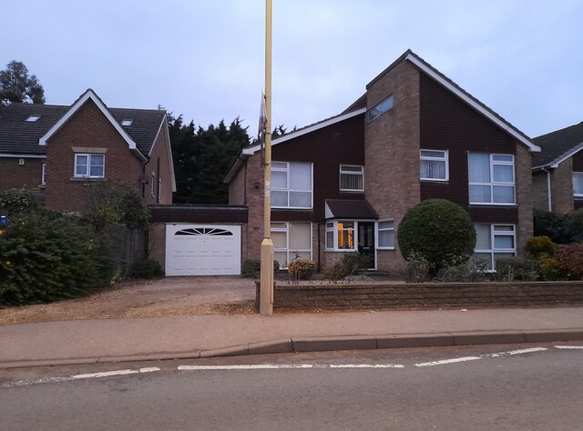
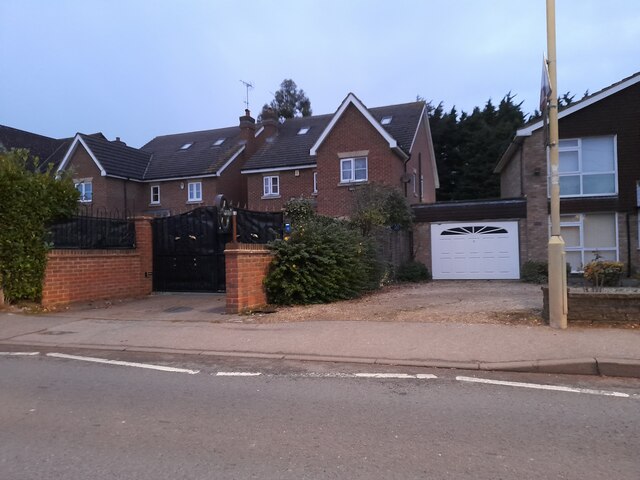
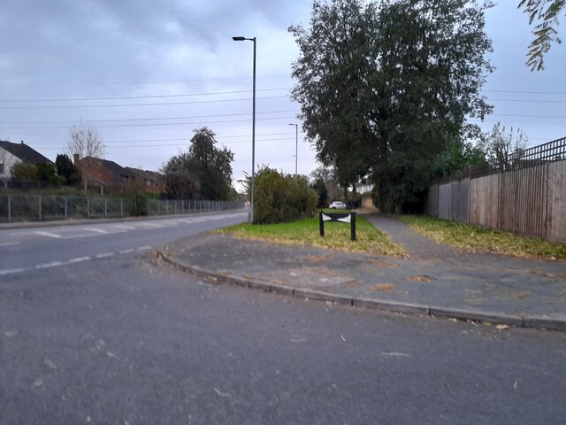
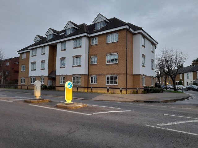
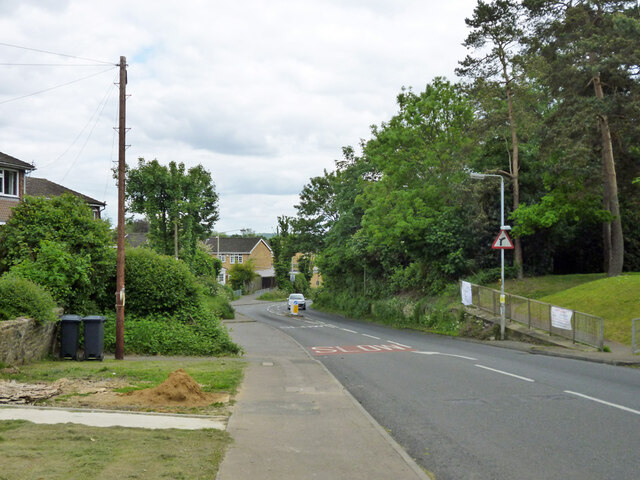
Spring Wood Images

Images are sourced within 2km of 51.726654/-0.044049283 or Grid Reference TL3504. Thanks to Geograph Open Source API. All images are credited.

Mill Lane at the junction of High Street, Cheshunt
Brookfield Lane West, Turnford The road is split in two by the A10
Brookfield Lane West, Turnford
The road is split in two by the A10
Field by Brookfield Lane West, Turnford
Brookfield Lane West, Turnford
Houses on Brookfield Lane West, Turnford
Southbrook Drive, Turnford
Brookfield Lane West, Turnford
Modern house on Brookfield Road West, Flamstead End This style was popular in the 70s, I had a flat like it once. <a title="https://www.geograph.org.uk/photo/4839443" href="https://www.geograph.org.uk/photo/4839443">Link</a>
Modern house on Brookfield Road West, Flamstead End
This style was popular in the 70s, I had a flat like it once. Link
Houses on Brookfield Road West, Flamstead End
Houses on Perrysfield Road, Turnford The birch tree has suffered a recent accident, it was perfect a few years earlier.
Houses on Perrysfield Road, Turnford
The birch tree has suffered a recent accident, it was perfect a few years earlier.
Perrysfield Road, Turnford
Cheshunt Wash at the corner of Perrysfield Road
High Road, Turnford
High Road, Turnford
Great Cambridge Road, Turnford I didn't realise the Great Cambridge Road split in Cheshunt, as this is the name of it from Tottenham onwards, but no longer follows the newer section of the A10 but remained with the original part.
Great Cambridge Road, Turnford
I didn't realise the Great Cambridge Road split in Cheshunt, as this is the name of it from Tottenham onwards, but no longer follows the newer section of the A10 but remained with the original part.
Flats on High Street, Cheshunt
Railway Pit One of the pits - now ponds - on Turnford Marsh to the west of the Lee Navigation and the River Lea. The name Railway Pit perhaps gives a clue as to the use of the sand and gravel extracted from this former quarry pit.
Railway Pit
One of the pits - now ponds - on Turnford Marsh to the west of the Lee Navigation and the River Lea. The name Railway Pit perhaps gives a clue as to the use of the sand and gravel extracted from this former quarry pit.
Dig Dag Hill, Cheshunt
Path from Adamsfield to Longfield Lane, Cheshunt Passing the end of one of the several branches of Smarts Green.
Path from Adamsfield to Longfield Lane, Cheshunt
Passing the end of one of the several branches of Smarts Green.
Show me another place!

Spring Wood is located at Grid Ref: TL3504 (Lat: 51.726654, Lng: -0.044049283)

Administrative County: Hertfordshire

District: Broxbourne

Police Authority: Hertfordshire

What 3 Words

///boil.dairy.hulk. Near Broxbourne, Hertfordshire

Nearby Locations

Spring Wood Hell Wood

Related Wikis

Wormleybury Brook

Wormleybury Brook is a tributary of the River Lea which rises in the hills south of White Stubbs Lane in Hertfordshire, England.

Wormleybury

Wormleybury is an 18th-century house surrounded by a landscaped park of 57 ha (140 acres) near Wormley in Broxbourne, Hertfordshire, England, a few miles...

Cheshunt Park

Cheshunt Park is a 40 hectare public park and Local Nature Reserve in Cheshunt in Hertfordshire. It is owned and managed by Broxbourne Borough Council...

Wormley Rovers F.C.

Wormley Rovers Football Club is a football club based in Wormley, Hertfordshire. They are currently members of the Eastern Counties League Division One...

Nearby Amenities

Located within 500m of 51.726654,-0.044049283
Created By: YahooApplet 1.0
Lat/Long: 51.7225039/-0.0461491
Created By: YahooApplet 1.0
Lat/Long: 51.7226103/-0.0432309
Created By: YahooApplet 1.0
Lat/Long: 51.7225039/-0.0419005
Bunker Type: pillbox
Military: bunker
Lat/Long: 51.7225967/-0.0460571
Fixme: mapping needed
Lat/Long: 51.7288933/-0.0475459
The data included in this document is from www.openstreetmap.org. The data is made available under ODbL.

Have you been to Spring Wood?

Leave your review of Spring Wood below (or comments, questions and feedback).