Hoad Wood
Wood, Forest in Sussex Mid Sussex
England
Hoad Wood
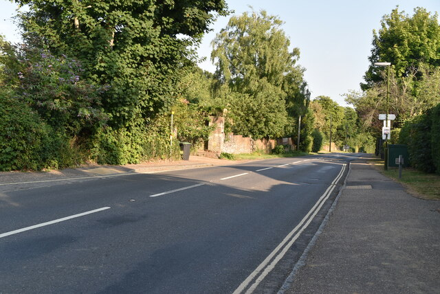
Hoad Wood is a charming woodland located in the county of Sussex, England. It covers an area of approximately 150 acres and is nestled within the beautiful South Downs National Park. The wood is renowned for its tranquil atmosphere and diverse range of flora and fauna, making it a popular destination for nature enthusiasts and walkers alike.
The wood is predominantly composed of broadleaf trees, including oak, beech, and ash, which create a stunning canopy during the spring and summer months. These trees provide a natural habitat for a variety of wildlife, such as deer, badgers, and a multitude of bird species. The wood is also home to a number of rare and protected plant species, including bluebells and orchids, which add to its ecological significance.
Visitors to Hoad Wood can enjoy a network of well-maintained footpaths that wind their way through the woodland, allowing for leisurely strolls and exploration. The paths offer picturesque views of the surrounding countryside, including glimpses of the nearby South Downs. In addition, there are designated picnic areas and benches scattered throughout the wood, providing the perfect opportunity to relax and soak in the peaceful ambiance.
Hoad Wood is easily accessible, with a car park located nearby, and is open to the public year-round. The wood offers a tranquil escape from the hustle and bustle of daily life, providing a haven for both wildlife and visitors to enjoy the natural beauty of Sussex.
If you have any feedback on the listing, please let us know in the comments section below.
Hoad Wood Images
Images are sourced within 2km of 51.034345/-0.066853572 or Grid Reference TQ3527. Thanks to Geograph Open Source API. All images are credited.


Hoad Wood is located at Grid Ref: TQ3527 (Lat: 51.034345, Lng: -0.066853572)
Administrative County: West Sussex
District: Mid Sussex
Police Authority: Sussex
What 3 Words
///polar.pigs.singer. Near Ardingly, West Sussex
Nearby Locations
Related Wikis

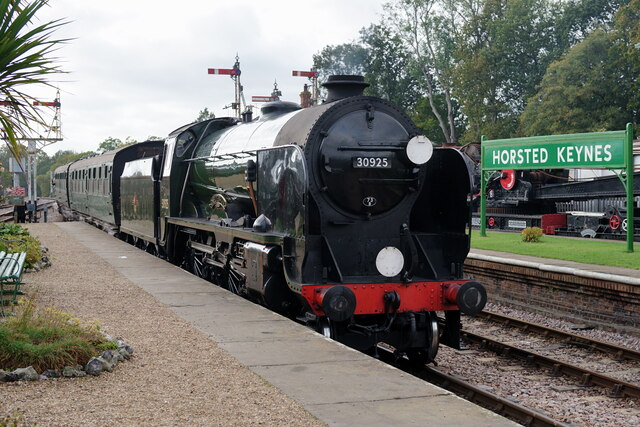
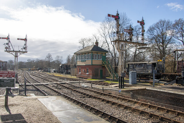
Bluebell Railway
The Bluebell Railway is an 11 mi (17.7 km) heritage line almost entirely in West Sussex in England, except for Sheffield Park which is in East Sussex....

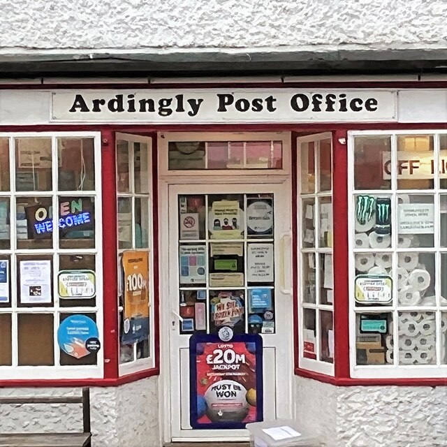
Ardingly railway station
Ardingly was a railway station which served the West Sussex village of Ardingly in England. It was opened on 3 September 1883 by the London, Brighton and...
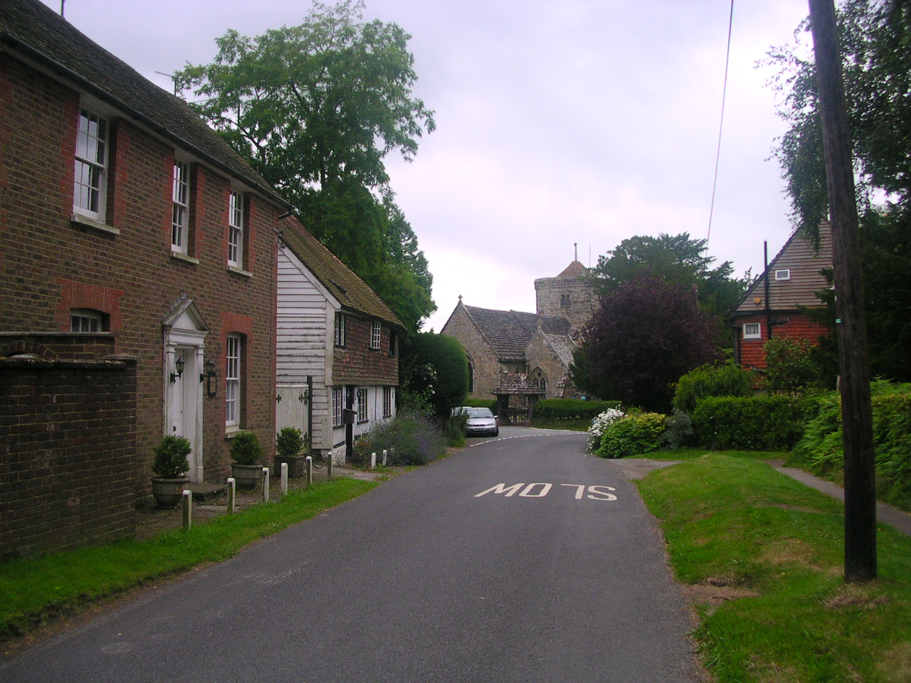
Ardingly
Ardingly ( AR-ding-lye) is an English village and civil parish in the Mid Sussex district of West Sussex, England. The village is in the High Weald Area...
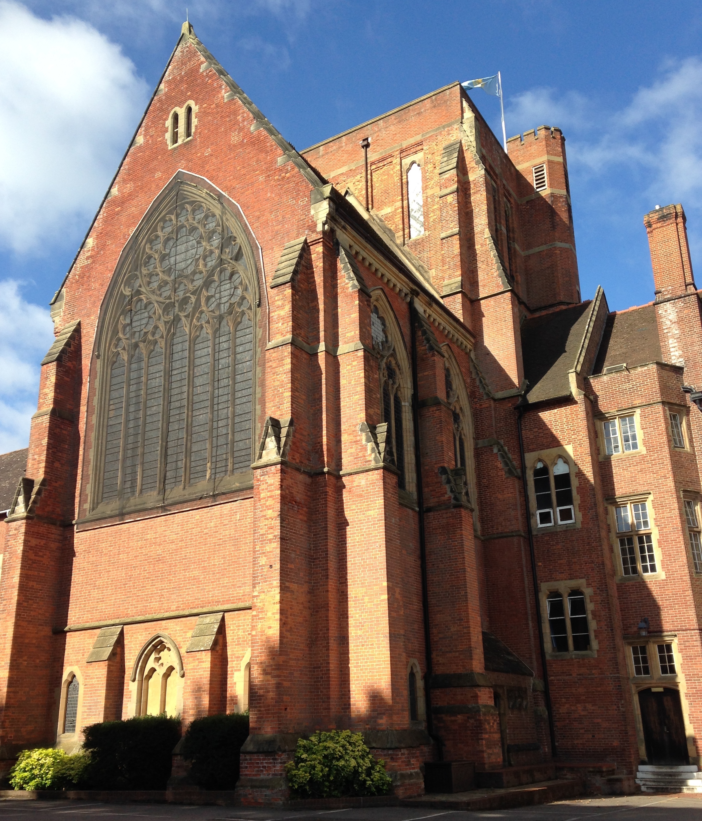
Ardingly College Chapel
The Chapel of S. Saviour is the chapel to Ardingly College in West Sussex, England, and is considered an example of Gothic Revival architecture. The chapel...

Ardingly College
Ardingly College () is a fee-charging boarding and day school in the English public school tradition located near Ardingly, West Sussex, England. The school...

Forest Way
The Forest Way is a linear Country park providing walking, cycling, horse riding and the quiet enjoyment of the countryside. It runs for around 16 km...

Lindfield & High Weald (electoral division)
Lindfield & High Weald is an electoral division of West Sussex in the United Kingdom, and returns one member to sit on West Sussex County Council. ��2...

Horsted Keynes railway station
Horsted Keynes railway station is a preserved railway station on the Bluebell Railway in Sussex. The station has been used as a shooting location in several...
Nearby Amenities
Located within 500m of 51.034345,-0.066853572Have you been to Hoad Wood?
Leave your review of Hoad Wood below (or comments, questions and feedback).