Lanthorn's Wood

Wood, Forest in Hertfordshire Broxbourne

England

Lanthorn's Wood

Hailey Lane, along the south side of Haileybury College
Hailey Lane, along the south side of Haileybury College Credit: Christopher Hilton

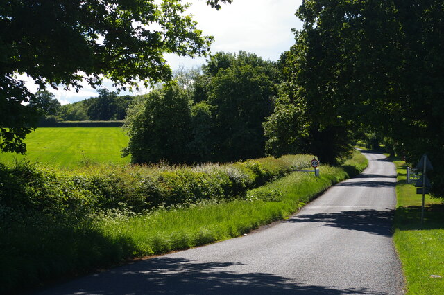
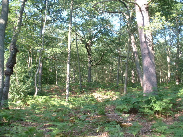
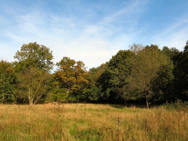
Lanthorn's Wood is a picturesque woodland located in Hertfordshire, England. Covering an area of approximately 100 acres, this ancient forest is known for its rich biodiversity and historical significance. The wood is characterized by its dense canopies, towering oak trees, and a diverse range of flora and fauna.

The wood has a long history dating back to medieval times when it was used as a hunting ground for the nobility. Today, it is a popular destination for nature enthusiasts, hikers, and birdwatchers who flock to witness its natural beauty. The wood offers several well-marked trails that allow visitors to explore its enchanting paths, providing a serene and peaceful escape from the bustling city life.

Lanthorn's Wood is home to a wide variety of wildlife, including deer, foxes, badgers, and numerous bird species. Birdwatchers can spot rare species such as tawny owls, woodpeckers, and nightingales. The wood's diverse vegetation is also a haven for wildflowers, ferns, and mosses, adding to its natural charm.

The wood is managed by the local conservation authority, ensuring its preservation and protection. Visitors are encouraged to follow the designated paths and respect the natural habitat. Lanthorn's Wood offers a unique opportunity to experience the tranquility and beauty of a traditional English woodland, making it a must-visit destination for nature lovers and history enthusiasts alike.

If you have any feedback on the listing, please let us know in the comments section below.

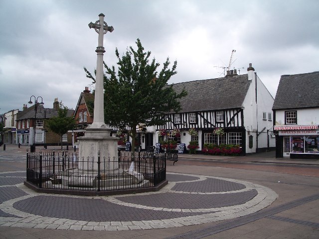
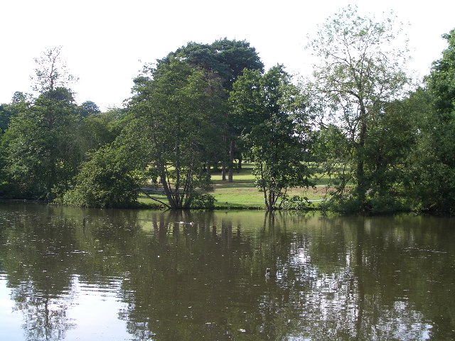
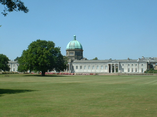
Lanthorn's Wood Images

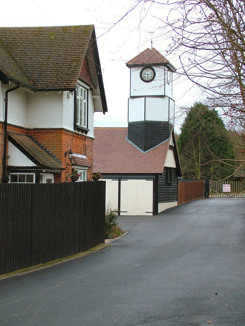
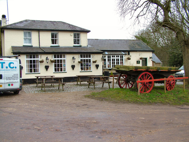
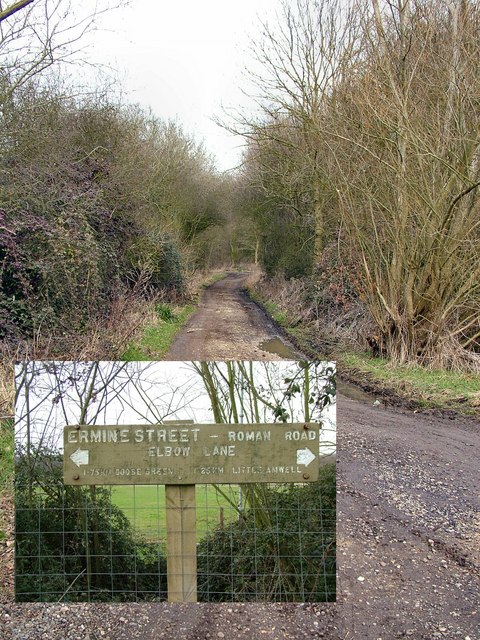
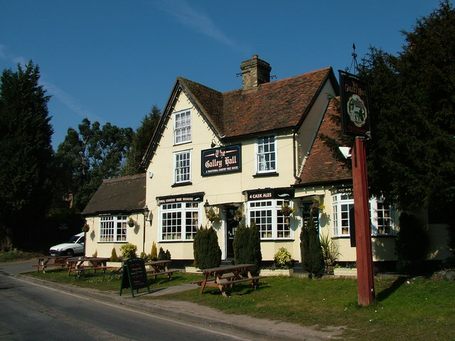
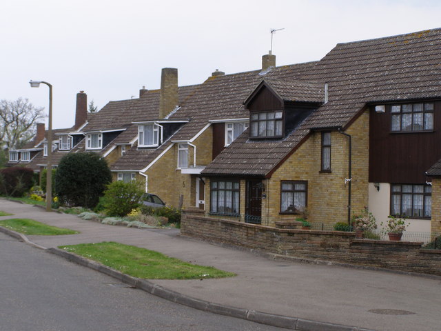
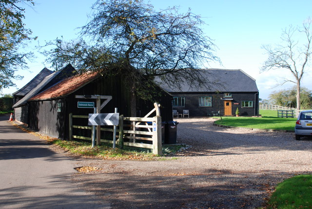
Images are sourced within 2km of 51.764761/-0.035837518 or Grid Reference TL3509. Thanks to Geograph Open Source API. All images are credited.

Hailey Lane, along the south side of Haileybury College
London Road, Hertford Heath
The College Arms, Hertford Heath
Hoddesdon Town Hoddesdon Town Centre showing War Memorial and White Swan Public House
Hoddesdon Town
Hoddesdon Town Centre showing War Memorial and White Swan Public House
Barclay Park The photograph faces north across the Lake in Barclay Park. The park was given to the town of Hoddesdon in 1935 as a recreational area
Barclay Park
The photograph faces north across the Lake in Barclay Park. The park was given to the town of Hoddesdon in 1935 as a recreational area
Hoddesdon Wood Nature reserve Hoddesdon Wood is a nature reserve cared for by the Woodland trust
Hoddesdon Wood Nature reserve
Hoddesdon Wood is a nature reserve cared for by the Woodland trust
Haileybury College at Hertford Heath Photograph taken looking north across Sports field to the main school buildings originally built as a classical academic quadrangle.
Haileybury College at Hertford Heath
Photograph taken looking north across Sports field to the main school buildings originally built as a classical academic quadrangle.
Highfield Farm The farm has 15 houses that are under constructed on their ground, but have retained this lovely clock tower
Highfield Farm
The farm has 15 houses that are under constructed on their ground, but have retained this lovely clock tower
The Huntsman, Goose Green The pub was known as the Green Man years ago.
The Huntsman, Goose Green
The pub was known as the Green Man years ago.
Ermine Street This is The Old Roman Ermine Street, or the remains of it. It was built in the 1st Century A.D.to connect London to York, covering 200 miles.
Ermine Street
This is The Old Roman Ermine Street, or the remains of it. It was built in the 1st Century A.D.to connect London to York, covering 200 miles.
The Galley Hall A nice pub on a quiet country road close to Haileybury College.
The Galley Hall
A nice pub on a quiet country road close to Haileybury College.
Suburban Housing Broxbourne Herts One of many relatively new housing estates that have been built in Broxbourne to help cater for the ever growing demand for housing in the South East.
Suburban Housing Broxbourne Herts
One of many relatively new housing estates that have been built in Broxbourne to help cater for the ever growing demand for housing in the South East.
Bridge over A10 carrying Lord Street Southbound A10 travelling towards the bridge which carries Lord Street over the A10.
Bridge over A10 carrying Lord Street
Southbound A10 travelling towards the bridge which carries Lord Street over the A10.
Hoddesdon By-Pass A10 Dinant Link Road Dinant Link Road A10, Hoddesdon By-Pass Westbound.
Hoddesdon By-Pass A10 Dinant Link Road
Dinant Link Road A10, Hoddesdon By-Pass Westbound.
Buildings at Haileybury College Bradby Hall to the right and the sixth form centre and other buildings to the left. School website to be found at <span class="nowrap"><a title="http://www.haileybury.com/" rel="nofollow ugc noopener" href="http://www.haileybury.com/">Link</a><img style="margin-left:2px;" alt="External link" title="External link - shift click to open in new window" src="https://s1.geograph.org.uk/img/external.png" width="10" height="10"/></span>
Buildings at Haileybury College
Bradby Hall to the right and the sixth form centre and other buildings to the left. School website to be found at LinkExternal link
Dalmonds Barns These farm barns on the outskirts of Hertford, have now been converted into holiday cottages.
Dalmonds Barns
These farm barns on the outskirts of Hertford, have now been converted into holiday cottages.
Clearing in Danemead Nature Reserve Danemead Nature Reserve within Danemead Wood is owned by the Herts and Middlesex Wildlife Trust and forms part of the Broxbourne Woods complex. The site borders Ermine Street, the Roman road which ran from London to York.
Clearing in Danemead Nature Reserve
Danemead Nature Reserve within Danemead Wood is owned by the Herts and Middlesex Wildlife Trust and forms part of the Broxbourne Woods complex. The site borders Ermine Street, the Roman road which ran from London to York.
Show me another place!

Lanthorn's Wood is located at Grid Ref: TL3509 (Lat: 51.764761, Lng: -0.035837518)

Administrative County: Hertfordshire

District: Broxbourne

Police Authority: Hertfordshire

What 3 Words

///final.crush.year. Near Hoddesdon, Hertfordshire
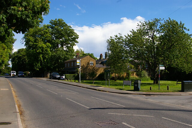
Related Wikis

Woollensbrook

Woollensbrook is a hamlet in Hertfordshire, England. It is in the town of Hoddesdon.

Woollens Brook

Woollens Brook, a minor tributary of the River Lea, rises close to Ermine Street, south of Hertford Heath (51.7745°N 0.0410°W / 51.7745; -0.0410 (Woollens...

Barclay Park

Barclay Park is a park in Hoddesdon, Hertfordshire, England. == History == In 1403 there was a house on the land called High Wyches which by 1677 had been...

Hoddesdon Town F.C.

Hoddesdon Town Football Club is a football club based in Hoddesdon, Hertfordshire, England. They are currently members of the Eastern Counties League Division...

Nearby Amenities

Located within 500m of 51.764761,-0.035837518
Motorway Junction
Hoddesdon Interchange
Lat/Long: 51.7617815/-0.0332668
Power: tower
Source: Yahoo
Lat/Long: 51.7631734/-0.0303948
Power: tower
Source: Yahoo
Lat/Long: 51.7613473/-0.0318432
Give Way
Lat/Long: 51.7641581/-0.0295036
Give Way
Lat/Long: 51.7645789/-0.0315374
Power: pole
Lat/Long: 51.7623267/-0.0335223
Give Way
Lat/Long: 51.7652936/-0.0288257
The data included in this document is from www.openstreetmap.org. The data is made available under ODbL.

Have you been to Lanthorn's Wood?

Leave your review of Lanthorn's Wood below (or comments, questions and feedback).