Round Shaw
Wood, Forest in Surrey Tandridge
England
Round Shaw

Round Shaw is a small village located in the heart of Surrey, England. Nestled within a dense woodland, Round Shaw is known for its serene and picturesque surroundings. The village is part of the larger Surrey Hills Area of Outstanding Natural Beauty, making it an attractive destination for nature lovers and outdoor enthusiasts.
The woodland surrounding Round Shaw is predominantly made up of oak and beech trees, creating a lush and vibrant environment. It is home to a diverse range of wildlife, including various bird species, deer, and squirrels. The forest provides ample opportunities for hiking, walking, and cycling, with well-maintained trails that wind through the trees and offer breathtaking views of the countryside.
Round Shaw itself is a small and close-knit community, with a handful of houses dotted around the area. The village is known for its quiet and peaceful atmosphere, offering residents and visitors a chance to escape the hustle and bustle of city life. While there are no shops or amenities within the village itself, the nearby town of Guildford provides all necessary facilities.
The village is well-connected to the surrounding areas, with good road links to nearby towns and cities. The A3 road runs close to Round Shaw, providing easy access to Guildford and London. The village is also served by several bus routes, making it easily accessible for those without private transportation.
In summary, Round Shaw is a charming woodland village in Surrey that offers a tranquil and scenic escape for nature lovers. Its dense forest, picturesque surroundings, and peaceful atmosphere make it a hidden gem in the Surrey Hills.
If you have any feedback on the listing, please let us know in the comments section below.
Round Shaw Images
Images are sourced within 2km of 51.295225/-0.06687387 or Grid Reference TQ3456. Thanks to Geograph Open Source API. All images are credited.


Round Shaw is located at Grid Ref: TQ3456 (Lat: 51.295225, Lng: -0.06687387)
Administrative County: Surrey
District: Tandridge
Police Authority: Surrey
What 3 Words
///talent.slowly.plank. Near Caterham, Surrey
Nearby Locations
Related Wikis
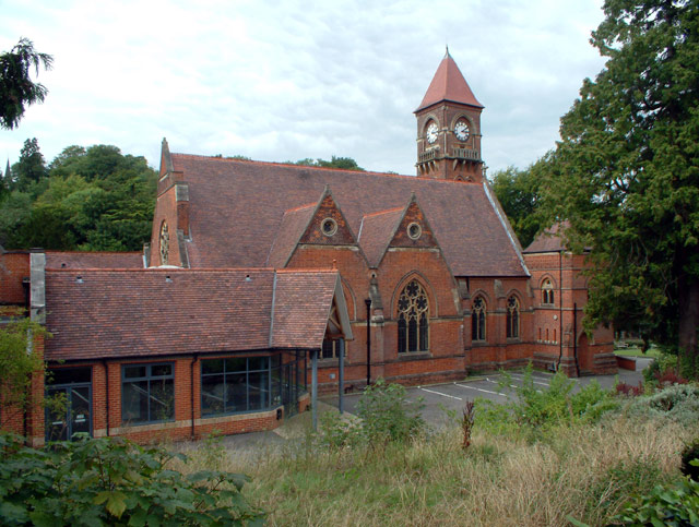
Caterham and Warlingham Urban District
Caterham and Warlingham was an Urban District of Surrey in England until 1974. == Geographic evolution == It was pre-emptively formed shortly before the...
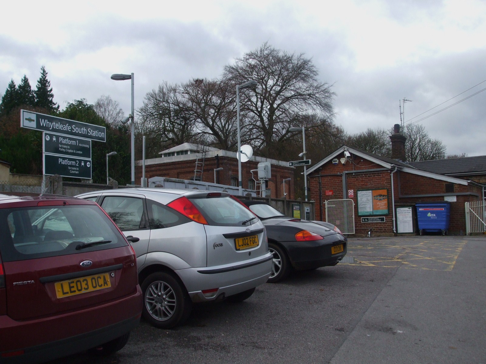
Whyteleafe South railway station
Whyteleafe South railway station serves part of the suburban village of Whyteleafe in the district of Tandridge, Surrey, England. The station and all trains...
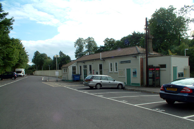
Woldingham railway station
Woldingham railway station is on the Oxted line in the west of the civil parish and village of Woldingham in Surrey, England. It is 17 miles 15 chains...

De Stafford School
de Stafford School is a mixed secondary school located in Caterham, Surrey, England. The school educates students from ages 11 to 16. == Organisation... ==
Sunnydown School
Sunnydown School is a special boarding secondary school situated in the town of Caterham in Surrey, England. Founded in 1949, it is the second oldest special...
AFC Whyteleafe
AFC Whyteleafe is an English football club based in Whyteleafe, Surrey. The club was established in 2021 and plays at the Whyteleafe Stadium in Church...
AC London F.C.
Academic Club London Football Club, commonly known as AC London, was a semi-professional football club based in London, England. The club was expelled...
Whyteleafe F.C.
Whyteleafe Football Club was an English football club based in Whyteleafe, Surrey. The club was established in 1946 and joined the Athenian League in 1981...
Nearby Amenities
Located within 500m of 51.295225,-0.06687387Have you been to Round Shaw?
Leave your review of Round Shaw below (or comments, questions and feedback).