Burntwood Hill
Hill, Mountain in Surrey Tandridge
England
Burntwood Hill

Burntwood Hill, located in Surrey, England, is a prominent natural feature that offers captivating views and a tranquil environment for visitors to enjoy. Rising to an elevation of approximately 156 meters (512 feet), it is primarily classified as a hill rather than a mountain due to its modest height. Nestled within the Surrey Hills Area of Outstanding Natural Beauty, Burntwood Hill is renowned for its picturesque landscape and rich biodiversity.
The hill is covered in dense woodland, mainly consisting of oak and beech trees, creating a lush and vibrant environment. This woodland provides a habitat for a variety of wildlife, including deer, foxes, and numerous bird species, making it an attractive destination for nature enthusiasts and photographers.
At the summit of Burntwood Hill, visitors are rewarded with breathtaking panoramic views of the surrounding countryside. On clear days, it is possible to see as far as the North Downs and the South Downs, offering a stunning vista that showcases the natural beauty of the region. Many visitors choose to hike or cycle to the top, taking advantage of the well-maintained trails that wind their way up the hill.
In addition to its natural beauty, Burntwood Hill also holds historical significance. It is believed that the area was once used as a Roman beacon site, used for signaling purposes. This adds an intriguing layer of heritage to the hill, attracting history enthusiasts and archaeology lovers alike.
Overall, Burntwood Hill is a captivating natural feature in Surrey, offering picturesque views, diverse wildlife, and a chance to connect with nature. Whether visitors are seeking a peaceful escape or an adventure in the great outdoors, this hill provides a memorable experience for all.
If you have any feedback on the listing, please let us know in the comments section below.
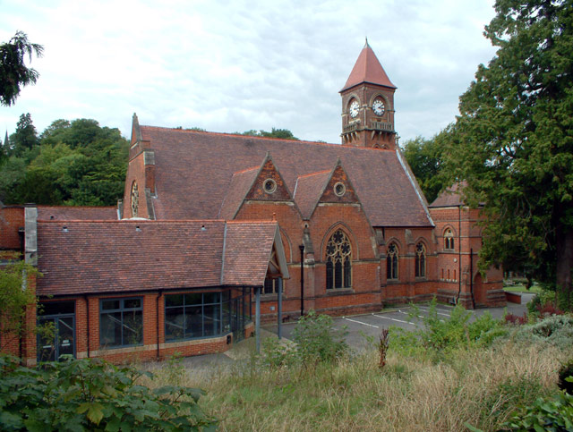
Burntwood Hill Images
Images are sourced within 2km of 51.295075/-0.076849056 or Grid Reference TQ3456. Thanks to Geograph Open Source API. All images are credited.


Burntwood Hill is located at Grid Ref: TQ3456 (Lat: 51.295075, Lng: -0.076849056)
Administrative County: Surrey
District: Tandridge
Police Authority: Surrey
What 3 Words
///every.plants.rubble. Near Caterham, Surrey
Nearby Locations
Related Wikis

Sunnydown School
Sunnydown School is a special boarding secondary school situated in the town of Caterham in Surrey, England. Founded in 1949, it is the second oldest special...
De Stafford School
de Stafford School is a mixed secondary school located in Caterham, Surrey, England. The school educates students from ages 11 to 16. == Organisation... ==
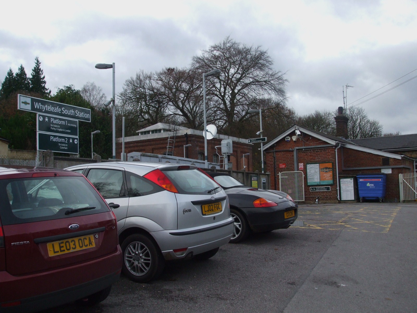
Whyteleafe South railway station
Whyteleafe South railway station serves part of the suburban village of Whyteleafe in the district of Tandridge, Surrey, England. The station and all trains...
AFC Whyteleafe
AFC Whyteleafe is an English football club based in Whyteleafe, Surrey. The club was established in 2021 and plays at the Whyteleafe Stadium in Church...
Sutton Common Rovers F.C.
Sutton Common Rovers Football Club is a semi-professional football club currently competing in the Isthmian League South Central Division. Originally based...
AC London F.C.
Academic Club London Football Club, commonly known as AC London, was a semi-professional football club based in London, England. The club was expelled...
Whyteleafe F.C.
Whyteleafe Football Club was an English football club based in Whyteleafe, Surrey. The club was established in 1946 and joined the Athenian League in 1981...

Sacred Heart Church, Caterham
Sacred Heart Church or formally the Church of the Sacred Heart of Jesus is a Roman Catholic parish church in Caterham, Surrey, England designed by Ingress...
Nearby Amenities
Located within 500m of 51.295075,-0.076849056Have you been to Burntwood Hill?
Leave your review of Burntwood Hill below (or comments, questions and feedback).