Sowdale Plantation
Wood, Forest in Lincolnshire East Lindsey
England
Sowdale Plantation
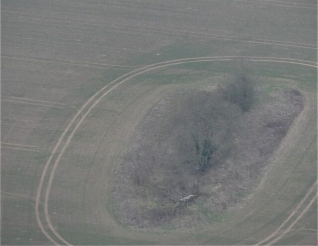
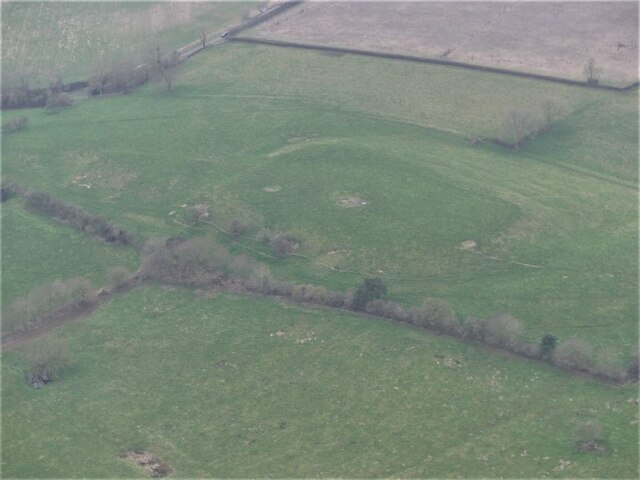
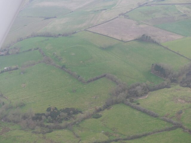
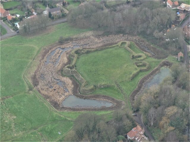
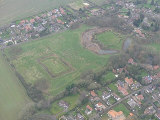
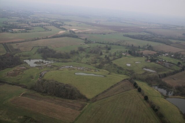
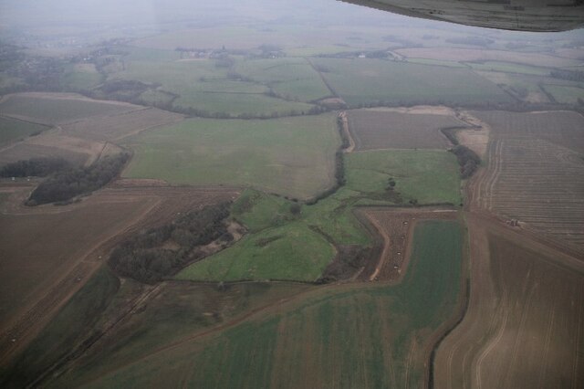
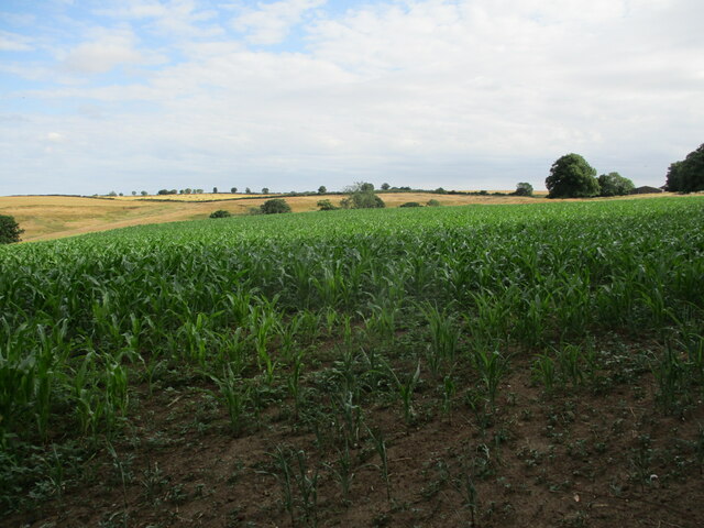
Sowdale Plantation is a picturesque woodland area located in Lincolnshire, England. Situated in the heart of the county, it covers a vast expanse of approximately 200 acres. The plantation is renowned for its dense forest and diverse range of tree species, making it a vital ecological habitat.
The woodland is predominantly composed of native British trees, including oak, beech, and ash, which provide a habitat for a variety of wildlife. The plantation boasts an extensive network of walking trails, allowing visitors to explore and appreciate the natural beauty of the area.
Sowdale Plantation has a rich history, dating back several centuries. It was originally part of a larger estate owned by the local aristocracy and was primarily used for timber production. Over the years, the woodland has been carefully managed to ensure its ecological balance, with sustainable practices employed to maintain its biodiversity.
Today, the plantation serves as a popular destination for nature enthusiasts, hikers, and families seeking a peaceful retreat. The tranquil atmosphere and scenic surroundings make it an ideal location for recreational activities such as birdwatching, photography, and picnicking.
The management of Sowdale Plantation places a strong emphasis on conservation and education. They regularly organize guided walks and educational programs, aiming to raise awareness about the importance of preserving natural habitats and the need for sustainable practices.
In summary, Sowdale Plantation is a remarkable woodland area in Lincolnshire, offering a haven of tranquility and natural beauty. With its diverse range of trees, abundant wildlife, and dedication to conservation, it remains a cherished natural gem for locals and visitors alike.
If you have any feedback on the listing, please let us know in the comments section below.
Sowdale Plantation Images
Images are sourced within 2km of 53.18209/0.016971235 or Grid Reference TF3466. Thanks to Geograph Open Source API. All images are credited.
Sowdale Plantation is located at Grid Ref: TF3466 (Lat: 53.18209, Lng: 0.016971235)
Administrative County: Lincolnshire
District: East Lindsey
Police Authority: Lincolnshire
What 3 Words
///purified.asking.tribune. Near Spilsby, Lincolnshire
Nearby Locations
Related Wikis

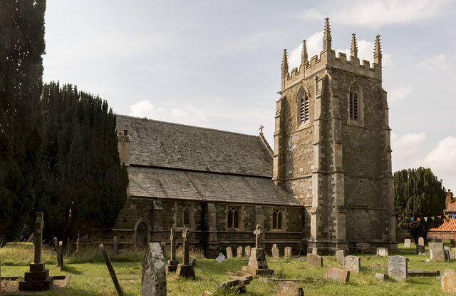
Lusby, Lincolnshire
Lusby is a village and former civil parish, now in the parish of Lusby with Winceby, in the East Lindsey district of Lincolnshire, England. It is situated...

Mavis Enderby
Mavis Enderby is a hamlet and civil parish in the East Lindsey district of Lincolnshire, England. It lies in the Lincolnshire Wolds, 4.5 miles (7 km) east...

Hareby
Hareby is a small village and former civil parish, now in the parish of Bolingbroke, in the East Lindsey district of Lincolnshire, England. It is situated...

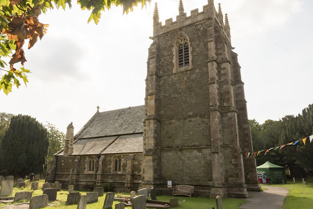
Bolingbroke, Lincolnshire
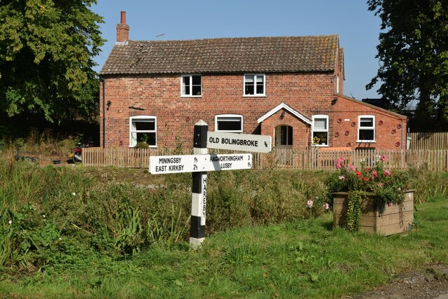
Bolingbroke, now called Old Bolingbroke, is a village and civil parish in the East Lindsey district of Lincolnshire, England. Its present boundaries were...
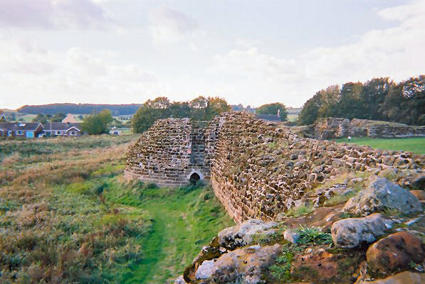
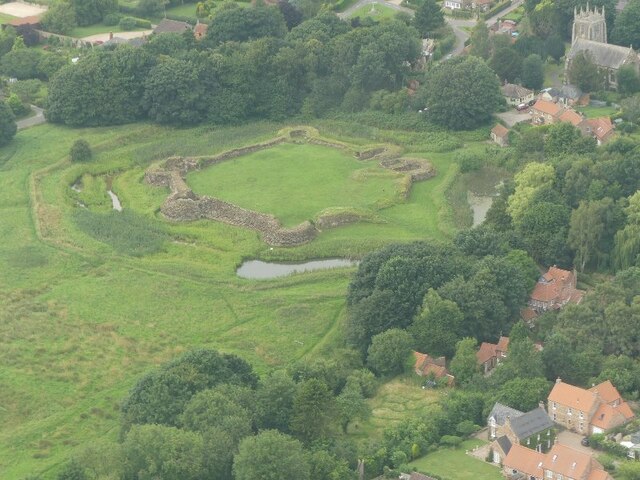
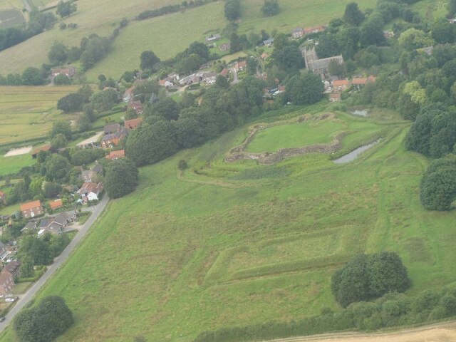
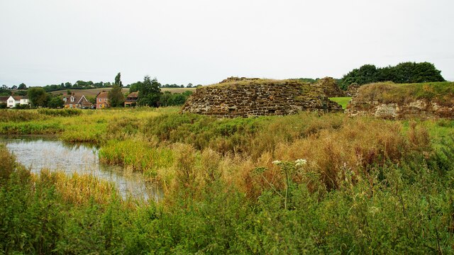
Bolingbroke Castle
Bolingbroke Castle is a ruined castle in Bolingbroke (now Old Bolingbroke) in Lincolnshire, England. == Construction == Most of the castle is built of...

Snipe Dales
Snipe Dales is a country park and nature reserve in the Lincolnshire Wolds near Hagworthingham in Lincolnshire, England. The reserve is one of the few...

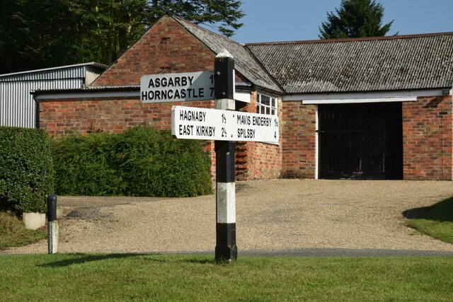
Asgarby, East Lindsey
Asgarby is a hamlet and former civil parish, now in the parish of Lusby with Winceby, in the East Lindsey district of Lincolnshire, England. It lies just...

Hagworthingham
Hagworthingham is a village and civil parish in the East Lindsey district of Lincolnshire, England. It is on the A158, 5 miles (8 km) east of Horncastle...
Nearby Amenities
Located within 500m of 53.18209,0.016971235Have you been to Sowdale Plantation?
Leave your review of Sowdale Plantation below (or comments, questions and feedback).