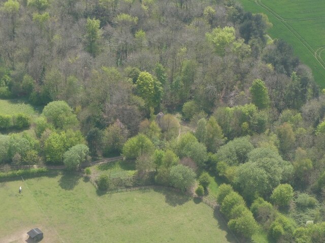
Bar Plantation

Wood, Forest in Lincolnshire East Lindsey

England

Bar Plantation

Louth former tip and landfill site: aerial 2021
Louth former tip and landfill site: aerial 2021 Credit: Simon Tomson

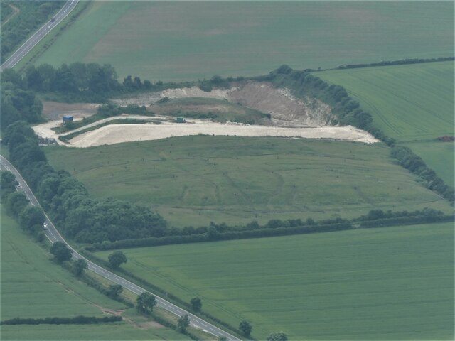
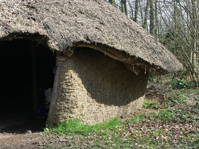
Bar Plantation is a picturesque woodland area located in Lincolnshire, England. Situated in the heart of the county, it is known for its dense forest and stunning natural beauty. The plantation covers a vast area, with a variety of tree species, including oak, ash, and birch, creating a diverse and thriving ecosystem.

The woodland is a popular destination for nature enthusiasts and outdoor adventurers alike. Its well-maintained trails and pathways provide ample opportunities for walking, hiking, and cycling. The dense foliage and towering trees offer a peaceful and tranquil atmosphere, making it an ideal place for relaxation and escape from the hustle and bustle of everyday life.

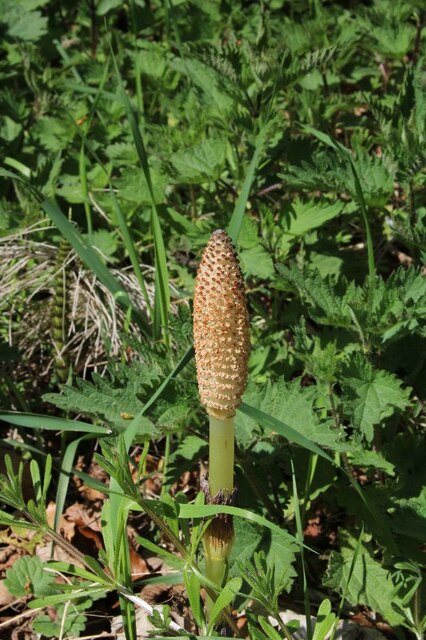
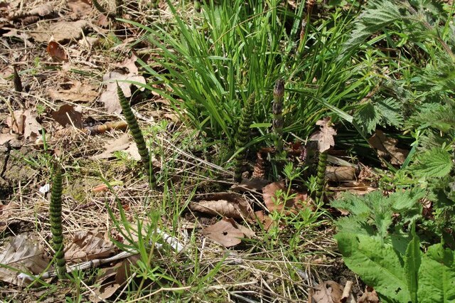
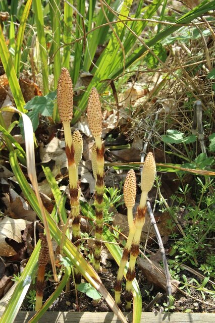
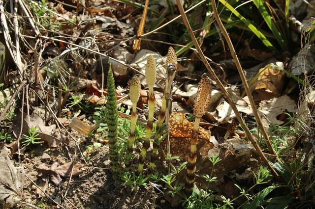
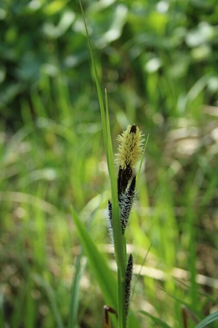
Bar Plantation is also home to a wide array of wildlife. Birdwatchers will delight in spotting various species, including woodpeckers, thrushes, and owls. Squirrels and rabbits can also be seen darting through the undergrowth, adding to the charm of the woodland.

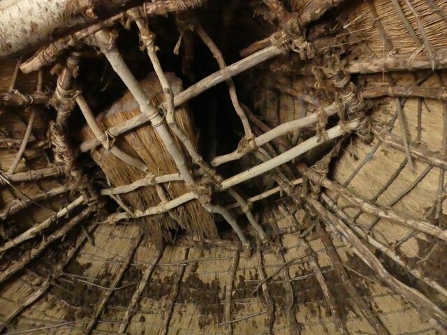
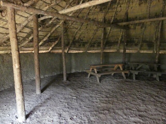
Visitors to Bar Plantation can enjoy a range of amenities, including picnic areas and benches dotted throughout the woodland, allowing for a leisurely lunch or a moment of quiet reflection. The plantation is well-maintained, with regular conservation efforts to preserve its natural beauty and protect the diverse flora and fauna that call it home.

In summary, Bar Plantation in Lincolnshire is a stunning woodland area that offers a tranquil escape and a chance to immerse oneself in nature. Its diverse ecosystem, well-maintained trails, and abundant wildlife make it a must-visit destination for nature lovers and outdoor enthusiasts.

If you have any feedback on the listing, please let us know in the comments section below.

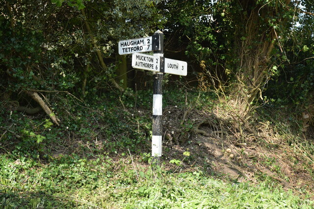
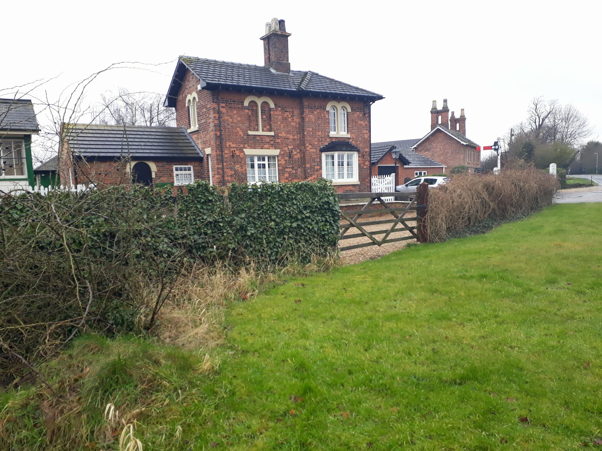
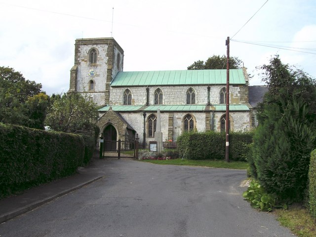
Bar Plantation Images

Images are sourced within 2km of 53.347603/0.024355929 or Grid Reference TF3485. Thanks to Geograph Open Source API. All images are credited.

Louth former tip and landfill site: aerial 2021
Louth landfill site: aerial 2022
Legbourne Priory site and ridge and furrow: aerial 2022 Founded as a Cistercian nunnery: <span class="nowrap"><a title="https://www.heritagegateway.org.uk/Gateway/Results_Single.aspx?uid=MLI43601&resourceID=1006" rel="nofollow ugc noopener" href="https://www.heritagegateway.org.uk/Gateway/Results_Single.aspx?uid=MLI43601&resourceID=1006">Link</a><img style="margin-left:2px;" alt="External link" title="External link - shift click to open in new window" src="https://s1.geograph.org.uk/img/external.png" width="10" height="10"/></span>

Ridge and furrow: see <span class="nowrap"><a title="https://www.heritagegateway.org.uk/Gateway/Results_Single.aspx?uid=05c5dd4d-ce79-4bc9-925a-6bd9a36feaed&resourceID=19191" rel="nofollow ugc noopener" href="https://www.heritagegateway.org.uk/Gateway/Results_Single.aspx?uid=05c5dd4d-ce79-4bc9-925a-6bd9a36feaed&resourceID=19191">Link</a><img style="margin-left:2px;" alt="External link" title="External link - shift click to open in new window" src="https://s1.geograph.org.uk/img/external.png" width="10" height="10"/></span>
Legbourne Priory site and ridge and furrow: aerial 2022
Founded as a Cistercian nunnery: LinkExternal link Ridge and furrow: see LinkExternal link
Blood sun Not to be confused with a blood moon, this spectacle greeted us as we drove round the outskirts of Louth, so we had to stop and take a photo.  
Sadly the reproduction does not give it justice as here it looks more like a big blood orange.  Another photographer had also stopped to capture its beauty and he thought the red colour might have been attributed to the red dust from the Sahara Desert reported a few days before.
Blood sun
Not to be confused with a blood moon, this spectacle greeted us as we drove round the outskirts of Louth, so we had to stop and take a photo. Sadly the reproduction does not give it justice as here it looks more like a big blood orange. Another photographer had also stopped to capture its beauty and he thought the red colour might have been attributed to the red dust from the Sahara Desert reported a few days before.
Reconstruction of Iron Age Roundhouse, Kenwick (1)
Reconstruction of Iron Age Roundhouse (2)
Reconstruction of Iron Age Roundhouse (3)
Reconstruction of Iron Age Roundhouse (4)
Equisetum, Kenwick Park (1)
Equisetum, Kenwick Park (2)
Equisetum, Louth Rural Activities Centre, Kenwick (1)
Equisetum, Louth Rural Activities Centre, Kenwick (2)
Sedge, Louth Rural Activities Centre, Kenwick
Woodland, to Kenwick Park: aerial 2022
New development on east side of Louth: aerial (1)
New development on east side of Louth: aerial (2)
Former Legbourne Road Station Station House with some nice railway touches
Former Legbourne Road Station
Station House with some nice railway touches
Direction Sign – Signpost on Top Road, Little Cawthorpe Located on the west side of the junction of Top Road and Haugham Pastures in Little Cawthorpe parish. 3 arms but no finial. See also <a title="https://www.geograph.org.uk/photo/1033424" href="https://www.geograph.org.uk/photo/1033424">Link</a>.

Milestone Society National ID: LI_TF3583
Direction Sign – Signpost on Top Road, Little Cawthorpe
Located on the west side of the junction of Top Road and Haugham Pastures in Little Cawthorpe parish. 3 arms but no finial. See also Link. Milestone Society National ID: LI_TF3583
Show me another place!

Bar Plantation is located at Grid Ref: TF3485 (Lat: 53.347603, Lng: 0.024355929)

Administrative County: Lincolnshire

District: East Lindsey

Police Authority: Lincolnshire

What 3 Words

///replaying.distanced.brands. Near Louth, Lincolnshire

Related Wikis

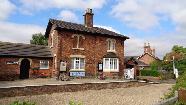
Legbourne Road railway station

Legbourne Road was a railway station on the East Lincolnshire Railway which served the village of Legbourne in Lincolnshire between 1848 and 1964. The...

Legbourne Priory

Legbourne Priory was a priory in the village of Legbourne, Lincolnshire, England. Founded by Robert Fitz Gilbert around 1150, the priory was for the nuns...

St Helen's Church, Little Cawthorpe

St Helen's Church is a redundant Anglican church in the village of Little Cawthorpe, Lincolnshire, England. It is recorded in the National Heritage List...

Little Cawthorpe

Little Cawthorpe is a village and civil parish in the East Lindsey district of Lincolnshire, England. It is situated about 1.5 miles (2.4 km) south-west...

Stewton

Stewton is a village and civil parish in the East Lindsey district of Lincolnshire, England. It is situated about 2 miles (3.2 km) east from the town of...

Legbourne

Legbourne is a village and civil parish in the East Lindsey district of Lincolnshire, England, about 3 miles (5 km) south-east of the town of Louth....

Louth Cemetery

Louth Cemetery on London Road (also known as London Road Cemetery) is the cemetery for Louth in Lincolnshire. Opened in 1855, the cemetery's distinctive...

Louth Academy

Louth Academy is a co-educational secondary school located in Louth in the English county of Lincolnshire. == History == Monks' Dyke High School opened...

Nearby Amenities

Located within 500m of 53.347603,0.024355929
Bus Stop
Nutty Cottage
Naptan AtcoCode: 270000008706
Naptan Bearing: SE
Naptan CommonName: Nutty Cottage
Naptan Landmark: Nutty Cottage
Naptan NaptanCode: lingtpgw
Naptan Street: A157
Naptan Verified: no
Source: naptan_import
Lat/Long: 53.3475274/0.0269246
Kenwick Farm
Place: farm
Source: Bing
Lat/Long: 53.3462497/0.0205353
Kenwick Park
Place: locality
Source: Bing
Lat/Long: 53.3431425/0.0249537
The Old Gatehouse
Place: isolated_dwelling
Source: Bing
Lat/Long: 53.3500858/0.0295475
Power: pole
Lat/Long: 53.3498837/0.0248091
Power: pole
Lat/Long: 53.3490567/0.0248044
Animal Boarding
Barfield Boarding Kennels & Cattery
Animal Boarding: cat;dog
Lat/Long: 53.3495995/0.0242753
Animal Boarding
Furzehill Kennels & Cattery
Animal Boarding: cat;dog
Lat/Long: 53.3515528/0.0213906
Street Lamp
Lat/Long: 53.3483546/0.0242653
Street Lamp
Lat/Long: 53.3485087/0.024849
Street Lamp
Lat/Long: 53.3484147/0.0251243
Street Lamp
Lat/Long: 53.3484635/0.0254079
Street Lamp
Lat/Long: 53.3483014/0.0255239
Street Lamp
Lat/Long: 53.3486154/0.0255779
The data included in this document is from www.openstreetmap.org. The data is made available under ODbL.

Have you been to Bar Plantation?

Leave your review of Bar Plantation below (or comments, questions and feedback).