Stinnage's Wood
Wood, Forest in Cambridgeshire South Cambridgeshire
England
Stinnage's Wood

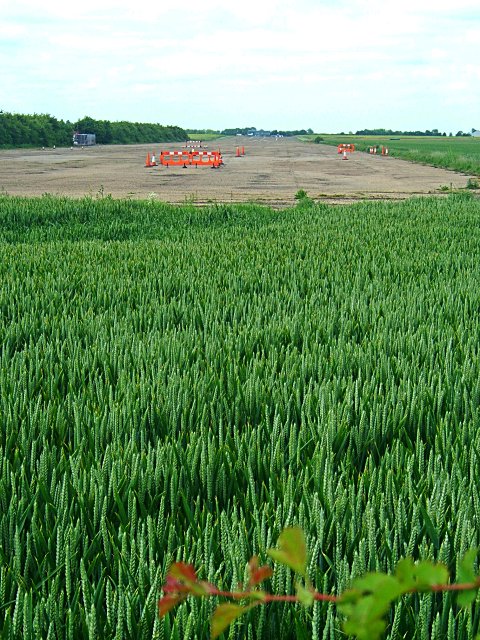
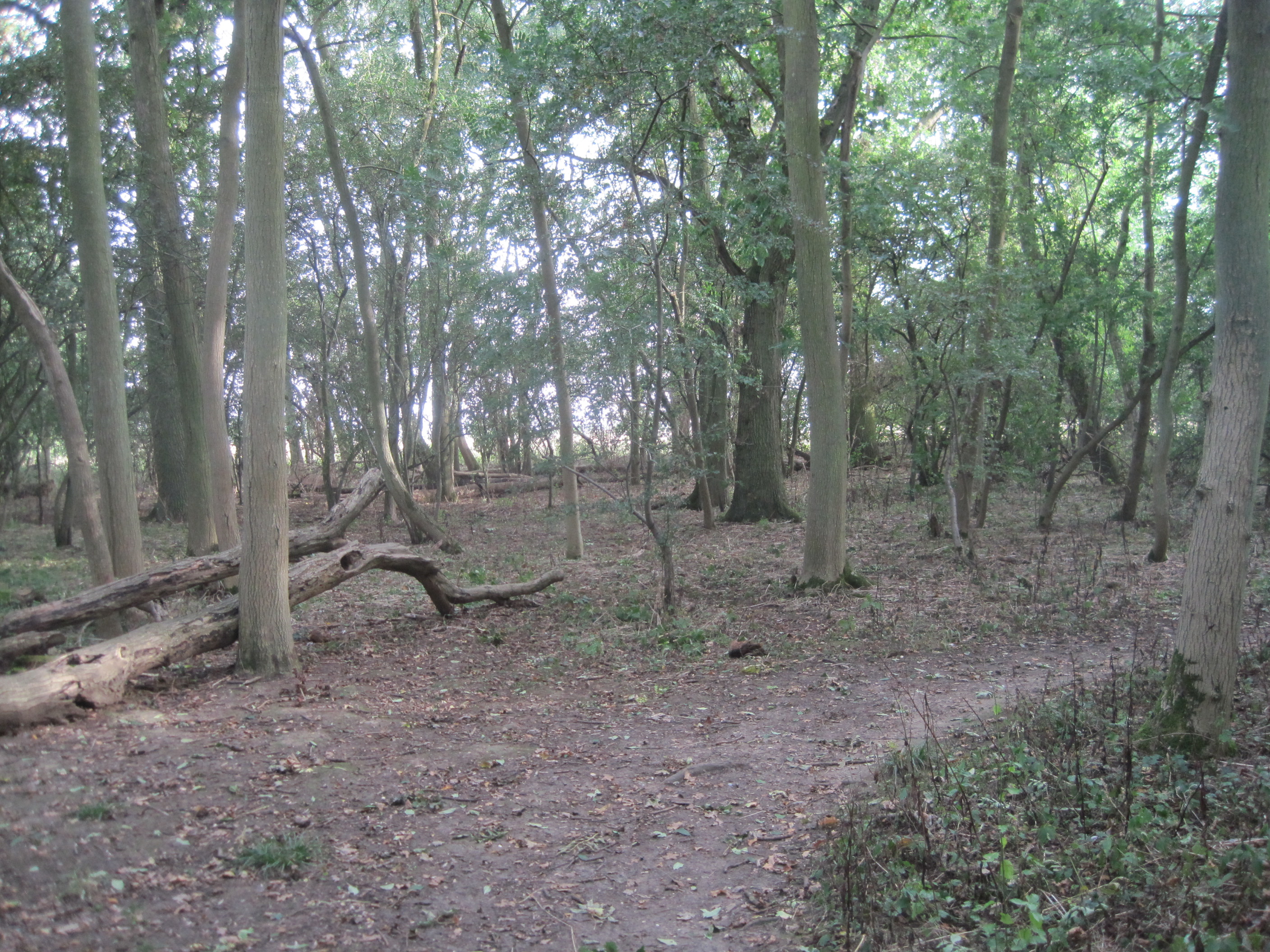
Stinnage's Wood is a picturesque woodland located in Cambridgeshire, England. Situated just outside the village of Stinnage, the wood spans an area of approximately 50 acres, making it an ideal spot for nature enthusiasts and outdoor lovers.
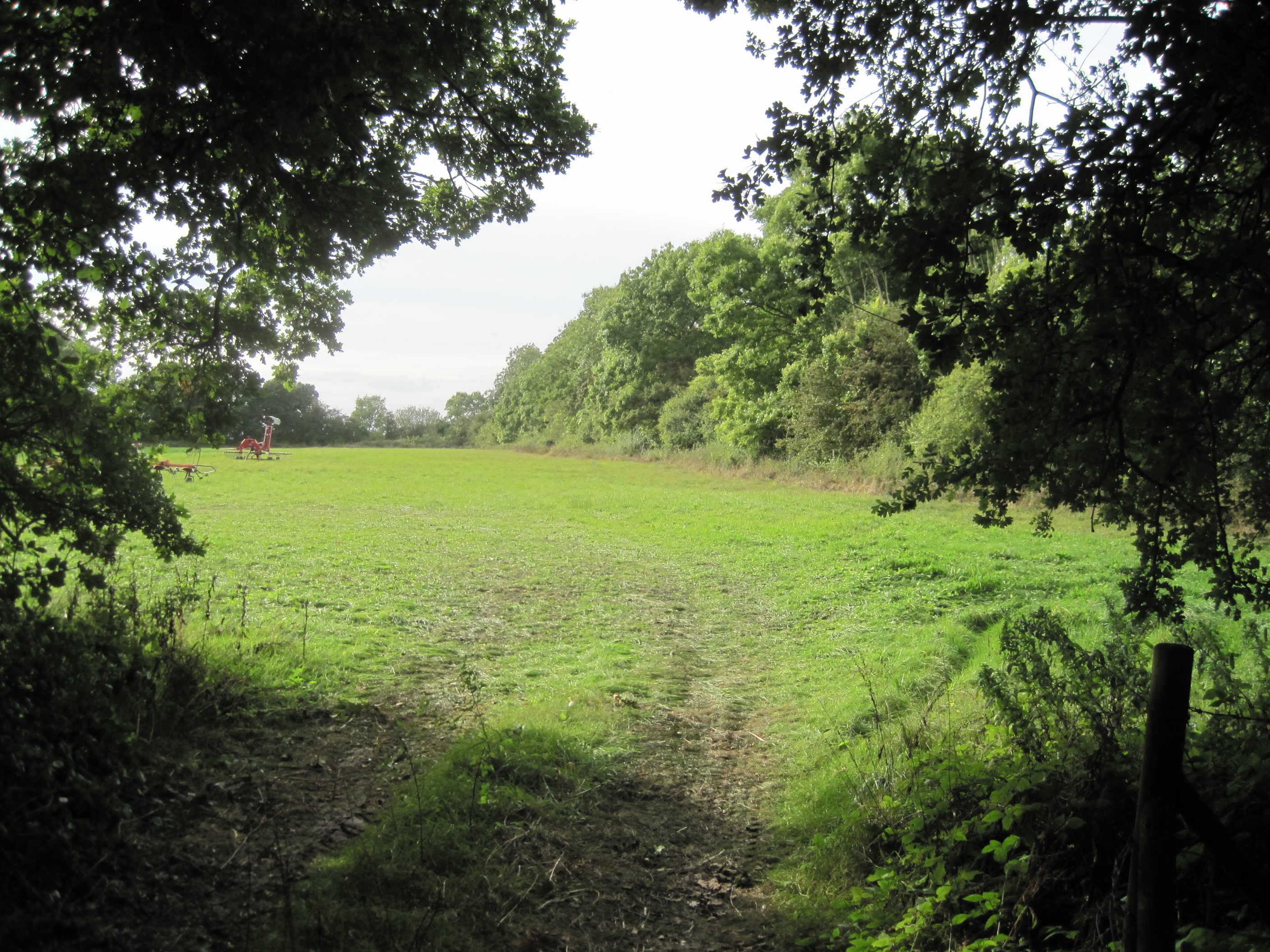
The wood is characterized by a diverse range of tree species, including oak, ash, beech, and birch, which create a vibrant and lush canopy overhead. The forest floor is adorned with an array of wildflowers, ferns, and mosses, adding to the enchanting atmosphere of the woodland.
Stinnage's Wood is home to a variety of wildlife, providing a sanctuary for many species. Visitors may spot deer, foxes, badgers, and an abundance of birdlife, including woodpeckers, owls, and songbirds. The wood is also known for its population of bats, with several species residing in the ancient trees.
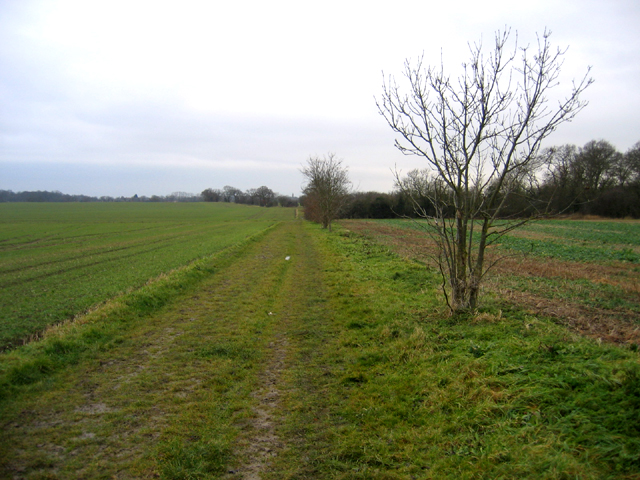
The woodland offers a network of well-maintained footpaths and trails, allowing visitors to explore its beauty at their own pace. These paths lead to hidden clearings, babbling brooks, and secluded picnic spots, providing opportunities for peaceful relaxation and reflection.
Stinnage's Wood is not only a haven for nature enthusiasts but also an important site for conservation. The wood is managed by the local forestry commission, ensuring the preservation of its unique ecosystem for future generations to enjoy.
Overall, Stinnage's Wood is a captivating destination, offering a tranquil escape from the hustle and bustle of everyday life. Its natural beauty, rich biodiversity, and well-preserved trails make it an inviting place for individuals seeking solace in nature.
If you have any feedback on the listing, please let us know in the comments section below.
Stinnage's Wood Images
Images are sourced within 2km of 52.20373/-0.028171796 or Grid Reference TL3457. Thanks to Geograph Open Source API. All images are credited.


Stinnage's Wood is located at Grid Ref: TL3457 (Lat: 52.20373, Lng: -0.028171796)
Administrative County: Cambridgeshire
District: South Cambridgeshire
Police Authority: Cambridgeshire
What 3 Words
///shelters.spreads.objective. Near Cambourne, Cambridgeshire
Nearby Locations
Related Wikis
Caldecote Meadows
Caldecote Meadows is a 9.1-hectare (22-acre) biological Site of Special Scientific Interest in Caldecote in Cambridgeshire.The site is herb-rich calcareous...
Caldecote, South Cambridgeshire
Caldecote is a village and civil parish in Cambridgeshire, in the district of South Cambridgeshire, England. It lies south of the A428, approximately six...
Hardwick Wood
Hardwick Wood is a 15.5-hectare (38-acre) biological Site of Special Scientific Interest southwest of Hardwick in Cambridgeshire. It is managed by the...

Bourn Airfield
Bourn Airport (IATA: n/a, ICAO: EGSN) is located 7 NM (13 km; 8.1 mi) west of Cambridge, Cambridgeshire, England. The airfield was originally constructed...

RAF Bourn
Royal Air Force Bourn or more simply RAF Bourn is a former Royal Air Force station located 2 miles (3.2 km) north of Bourn, Cambridgeshire and 6.9 miles...
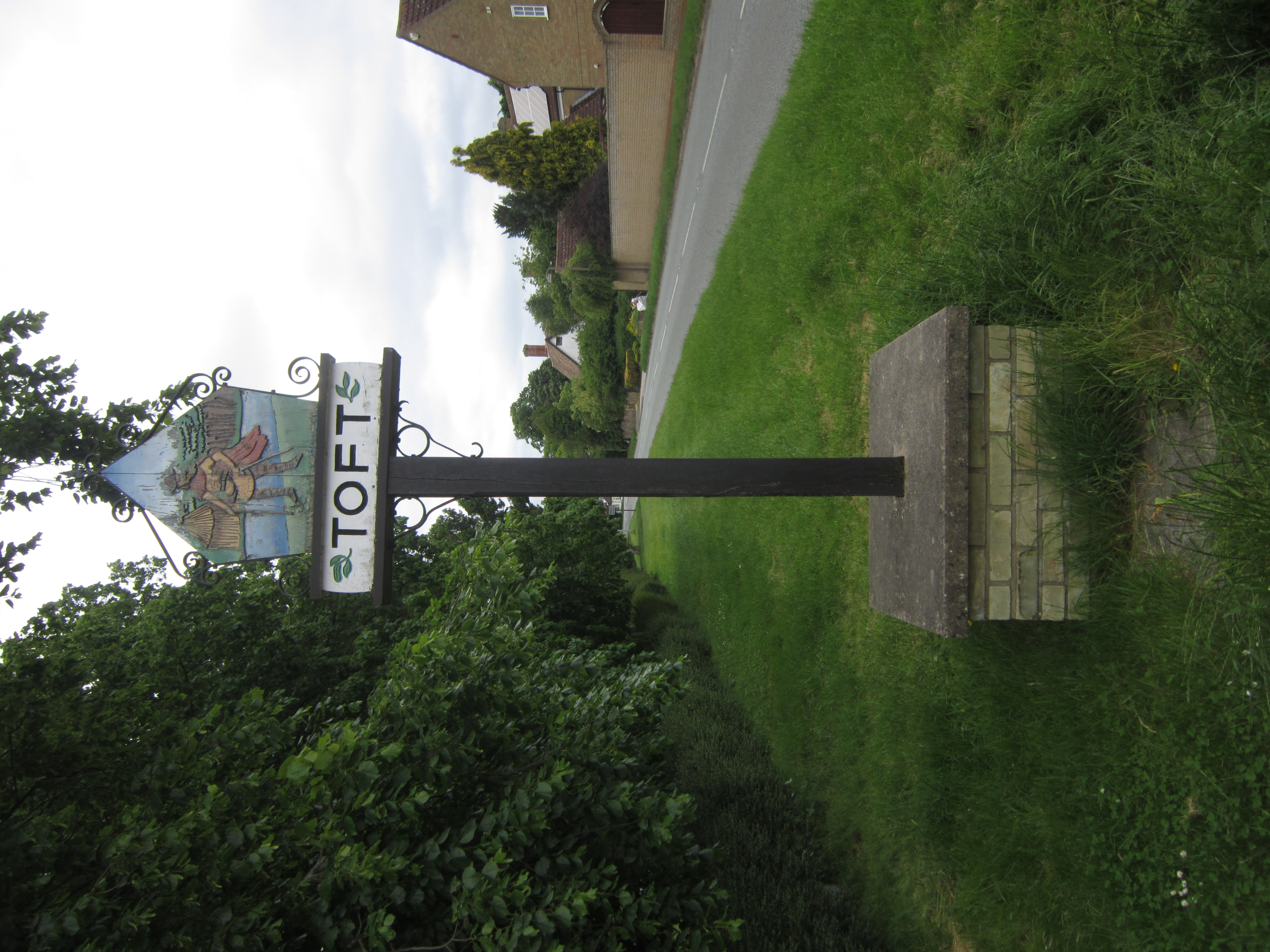
Toft, Cambridgeshire
Toft is a village situated in Cambridgeshire, England. It is approximately six miles to the west of Cambridge, and is situated within four miles of the...
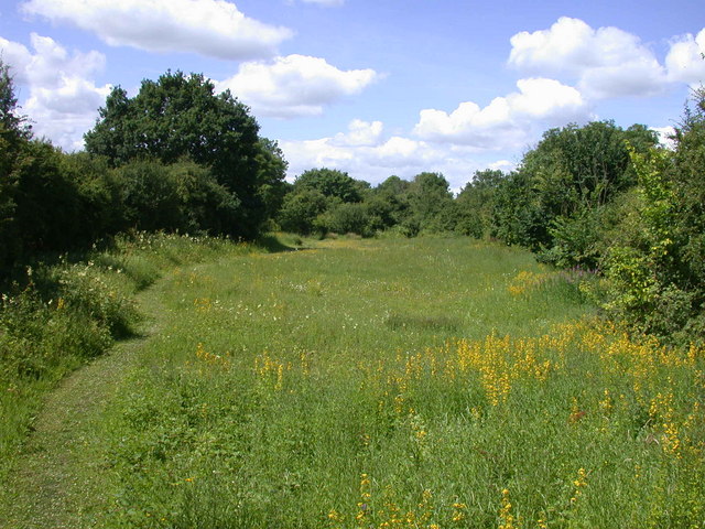
Kingston and Bourn Old Railway
Kingston and Bourn Old Railway or Kingston Amenity Area is a linear 1.9-hectare (4.7-acre) Local Nature Reserve between Kingston and Bourn in Cambridgeshire...
Kingston, Cambridgeshire
Kingston is a small village and parish in the East of England region and the county Cambridgeshire in the United Kingdom. Situated 7 miles to the west...
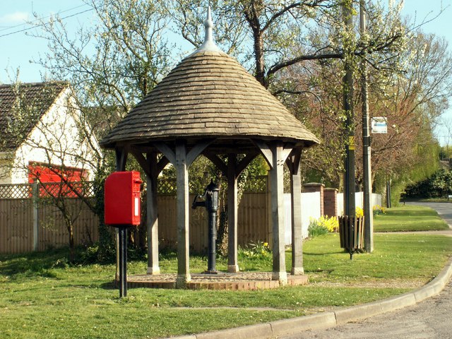
Nearby Amenities
Located within 500m of 52.20373,-0.028171796Have you been to Stinnage's Wood?
Leave your review of Stinnage's Wood below (or comments, questions and feedback).