Caldecote
Settlement in Cambridgeshire South Cambridgeshire
England
Caldecote
Caldecote is a small village situated in the county of Cambridgeshire, England. It is located approximately 8 miles west of the city of Cambridge and lies within the South Cambridgeshire district.
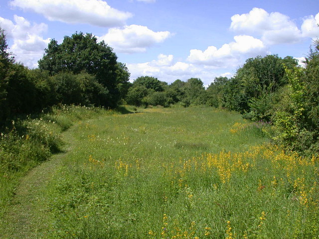
The village is surrounded by picturesque countryside, characterized by rolling hills and lush green fields, making it an ideal location for those seeking a peaceful and rural setting. The River Cam flows nearby, adding to the natural beauty of the area.
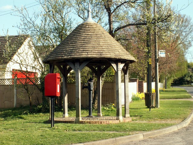
Caldecote is a close-knit community with a population of around 1,500 residents. The village is known for its friendly and welcoming atmosphere, where neighbors often come together to organize social events and activities.
The village has a range of amenities to cater to the needs of its residents. These include a primary school, a village hall, a local pub, a post office, and a convenience store. The primary school, in particular, is highly regarded, providing quality education to the children of the village and surrounding areas.
For those seeking recreational activities, Caldecote offers several options. The village has a well-maintained recreation ground, which includes a play area for children, football pitches, and tennis courts. There are also numerous walking and cycling routes in the area, allowing residents to explore the beautiful countryside.
In summary, Caldecote is a charming and peaceful village in Cambridgeshire, offering a rural lifestyle while still being within close proximity to the city of Cambridge. It provides its residents with a strong sense of community and a range of amenities, making it an attractive place to live.
If you have any feedback on the listing, please let us know in the comments section below.
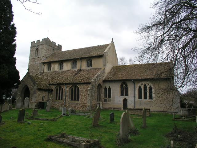
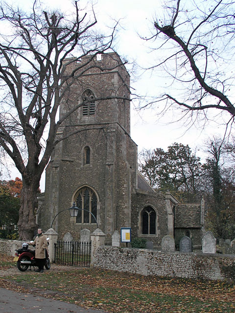
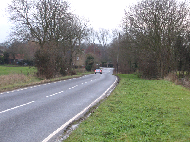
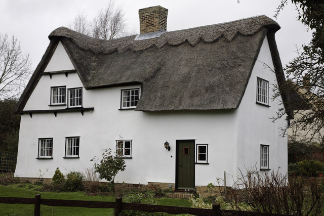
Caldecote Images
Images are sourced within 2km of 52.195825/-0.029150888 or Grid Reference TL3457. Thanks to Geograph Open Source API. All images are credited.


Caldecote is located at Grid Ref: TL3457 (Lat: 52.195825, Lng: -0.029150888)
Administrative County: Cambridgeshire
District: South Cambridgeshire
Police Authority: Cambridgeshire
What 3 Words
///toned.globe.occupiers. Near Comberton, Cambridgeshire
Nearby Locations
Related Wikis
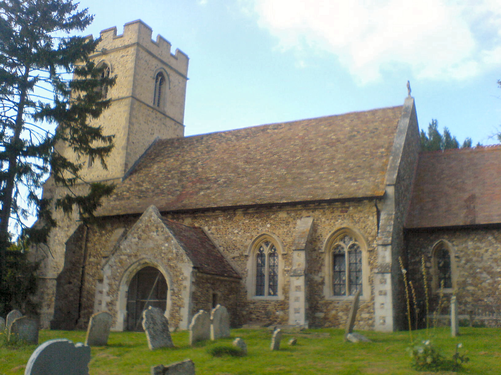
Caldecote, South Cambridgeshire
Caldecote is a village and civil parish in Cambridgeshire, in the district of South Cambridgeshire, England. It lies south of the A428, approximately six...
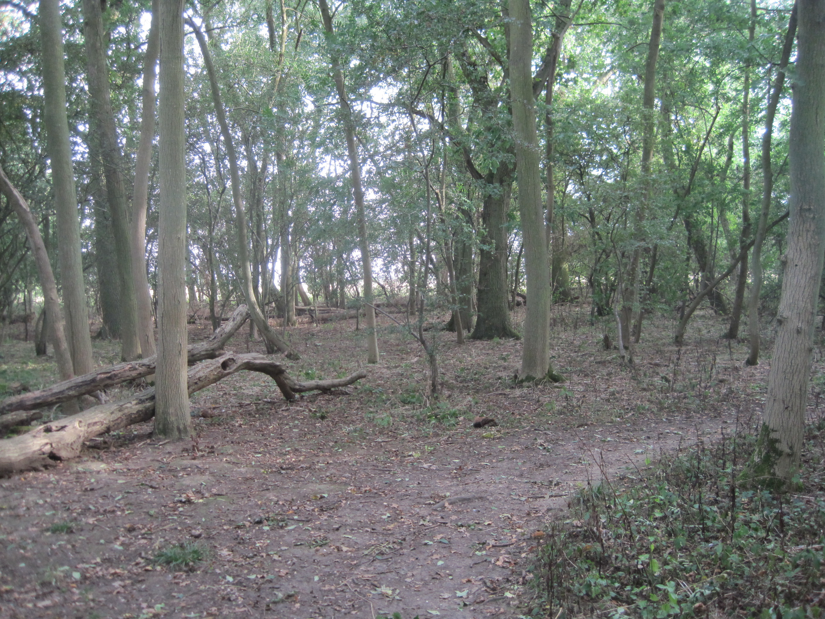
Hardwick Wood
Hardwick Wood is a 15.5-hectare (38-acre) biological Site of Special Scientific Interest southwest of Hardwick in Cambridgeshire. It is managed by the...
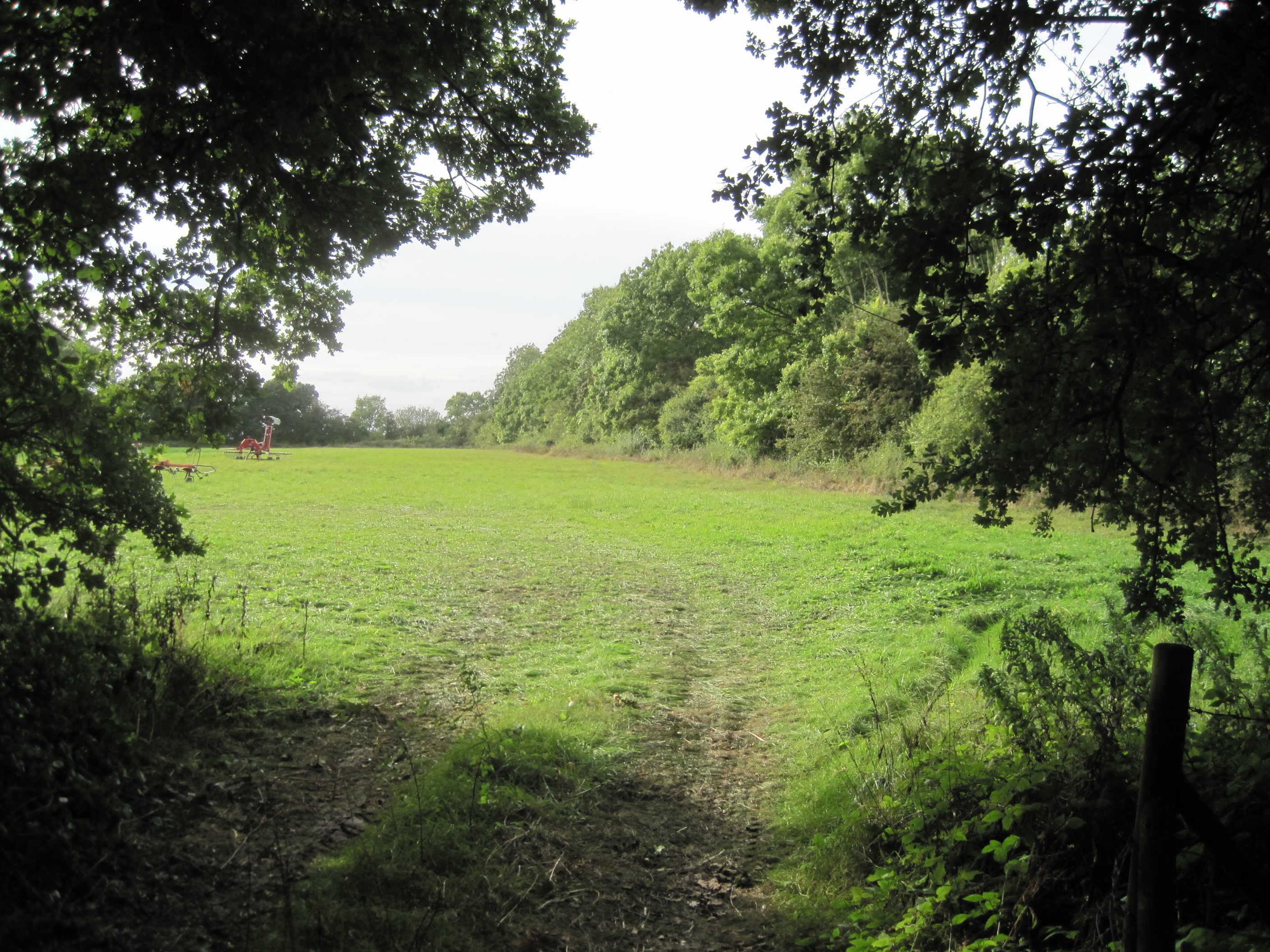
Caldecote Meadows
Caldecote Meadows is a 9.1-hectare (22-acre) biological Site of Special Scientific Interest in Caldecote in Cambridgeshire.The site is herb-rich calcareous...
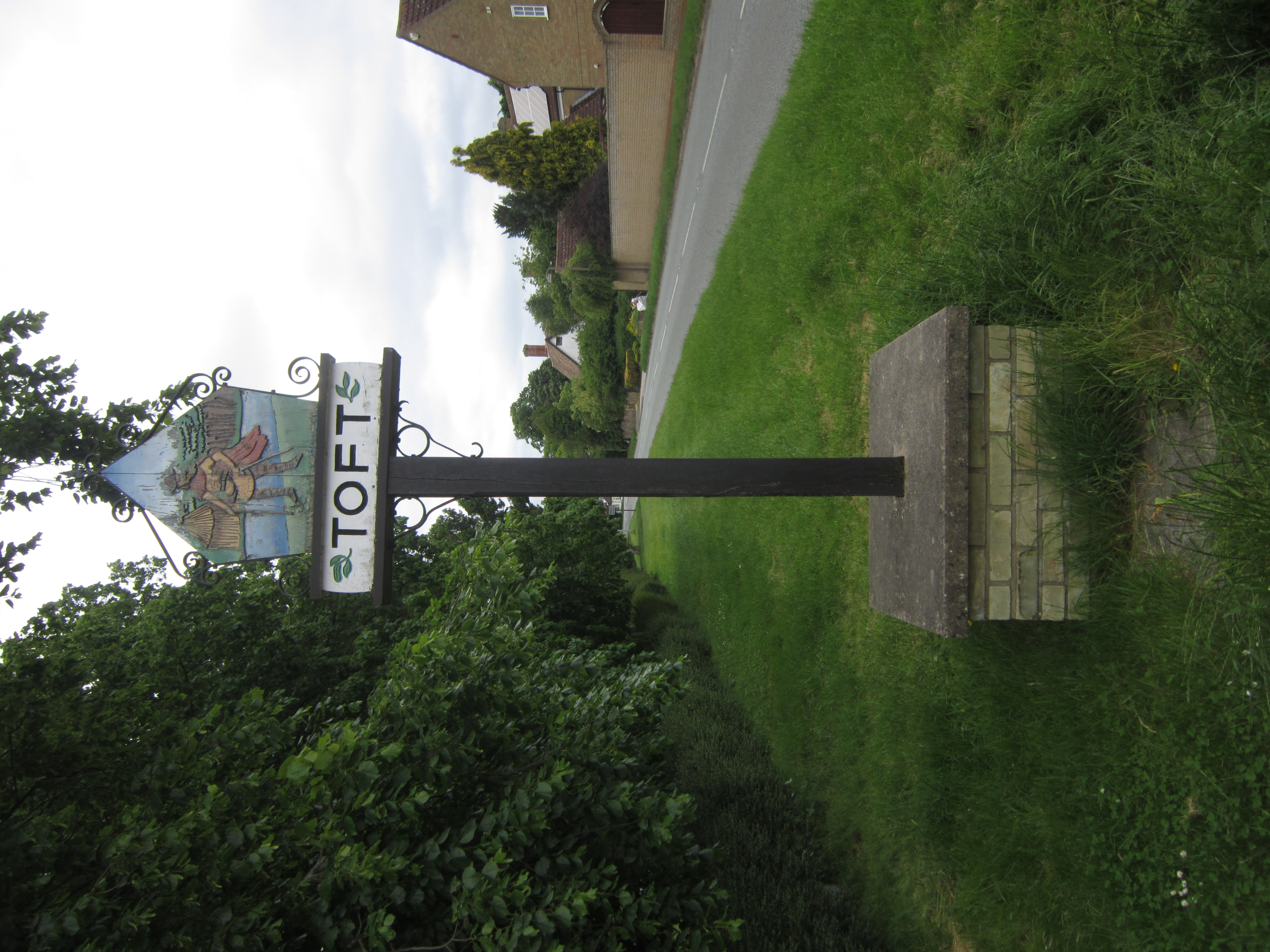
Toft, Cambridgeshire
Toft is a village situated in Cambridgeshire, England. It is approximately six miles to the west of Cambridge, and is situated within four miles of the...
Kingston and Bourn Old Railway
Kingston and Bourn Old Railway or Kingston Amenity Area is a linear 1.9-hectare (4.7-acre) Local Nature Reserve between Kingston and Bourn in Cambridgeshire...
Kingston, Cambridgeshire
Kingston is a small village and parish in the East of England region and the county Cambridgeshire in the United Kingdom. Situated 7 miles to the west...

Bourn Airfield
Bourn Airport (IATA: n/a, ICAO: EGSN) is located 7 NM (13 km; 8.1 mi) west of Cambridge, Cambridgeshire, England. The airfield was originally constructed...
Bourn
Bourn is a small village and civil parish in South Cambridgeshire, England. Surrounding villages include Caxton, Eltisley and Cambourne. It is 8 miles...
Nearby Amenities
Located within 500m of 52.195825,-0.029150888Have you been to Caldecote?
Leave your review of Caldecote below (or comments, questions and feedback).