Haugham Pasture
Wood, Forest in Lincolnshire East Lindsey
England
Haugham Pasture
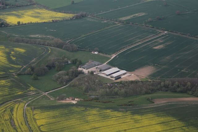
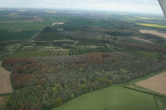
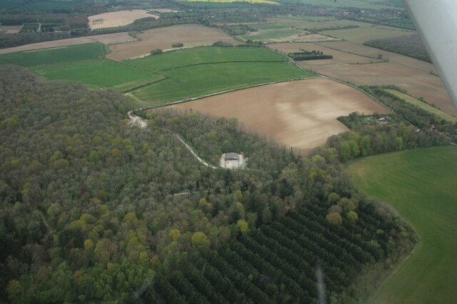
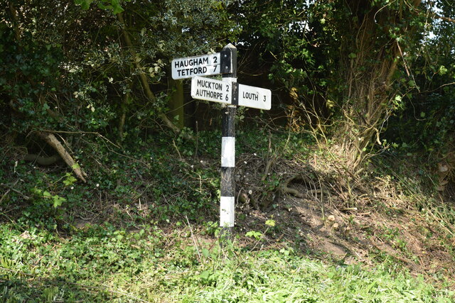
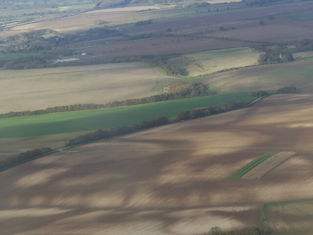
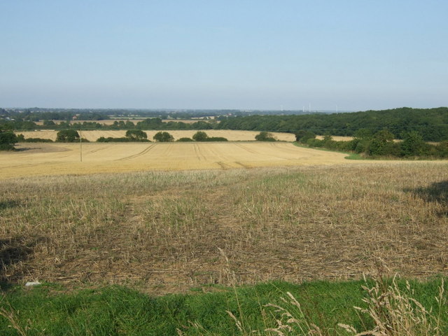
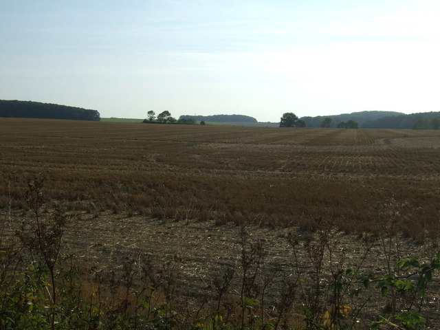
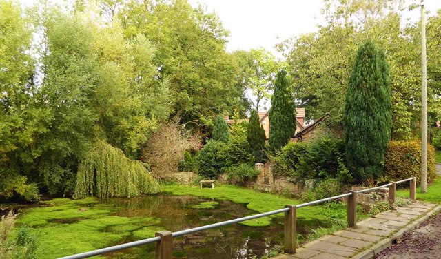
Haugham Pasture is a picturesque woodland area located in the county of Lincolnshire, England. Covering an expansive area of approximately 100 acres, it is known for its diverse range of tree species and abundant wildlife. The pasture is situated near the village of Haugham, which is nestled between the towns of Louth and Market Rasen.
The woodland is characterized by its dense canopy of mature trees, including oak, ash, birch, and beech, which create a tranquil and shaded environment. These trees provide a sanctuary for a variety of bird species, such as woodpeckers, owls, and warblers, making Haugham Pasture a popular spot for birdwatching enthusiasts.
The forest floor is carpeted with a rich assortment of wildflowers, ferns, and mosses, adding to the natural beauty of the area. Amongst the undergrowth, visitors may also spot small mammals like squirrels, rabbits, and voles scurrying about.
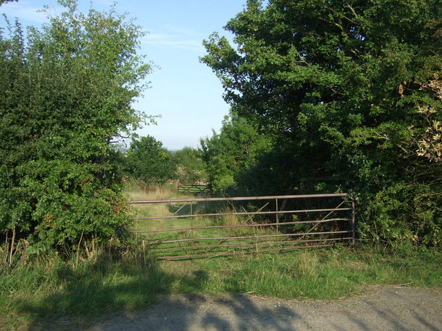
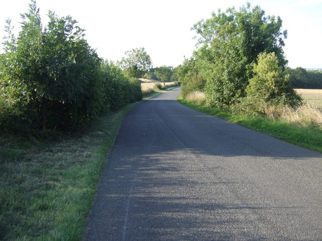
Haugham Pasture is crisscrossed by a network of footpaths and trails, which allow visitors to explore the woodland at their own pace. These paths are well-maintained and provide easy access to the heart of the woodland, offering breathtaking views and opportunities for peaceful walks or picnics.
The woodland is maintained by a local conservation group, ensuring the preservation of its natural beauty and protection of its wildlife. Haugham Pasture is a true gem in the heart of Lincolnshire, offering a serene and idyllic escape for nature lovers and those seeking tranquility amidst the beauty of a forest setting.
If you have any feedback on the listing, please let us know in the comments section below.
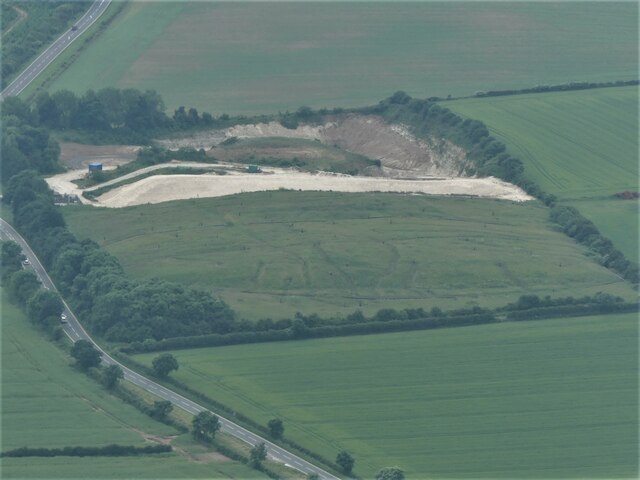
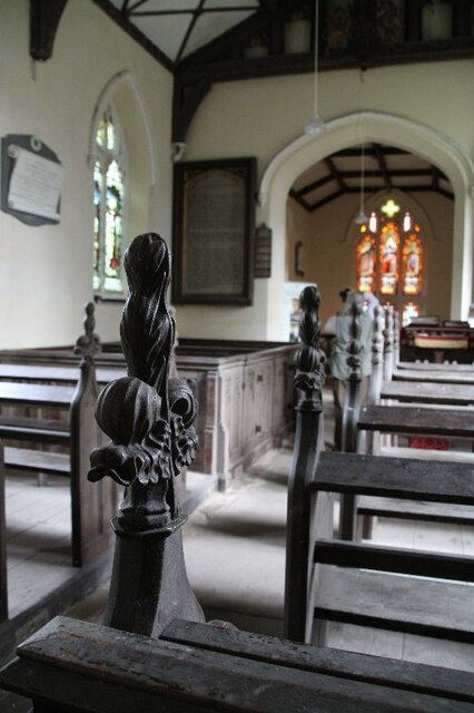
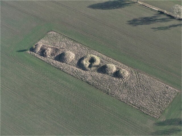
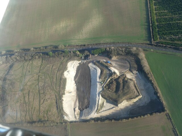
Haugham Pasture Images
Images are sourced within 2km of 53.320664/0.017119791 or Grid Reference TF3482. Thanks to Geograph Open Source API. All images are credited.

Haugham Pasture is located at Grid Ref: TF3482 (Lat: 53.320664, Lng: 0.017119791)
Administrative County: Lincolnshire
District: East Lindsey
Police Authority: Lincolnshire
What 3 Words
///implanted.spaces.supposed. Near Burwell, Lincolnshire
Nearby Locations
Related Wikis

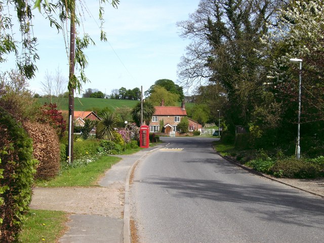
Haugham
Haugham is a village and civil parish in the East Lindsey district of Lincolnshire, England. It is situated 3 miles (5 km) south from Louth. The prime...

Haugham Priory
Haugham Priory was a Benedictine priory in Lincolnshire, England. The priory of Haugham was built upon land granted by Hugh, Earl of Chester, at the end...
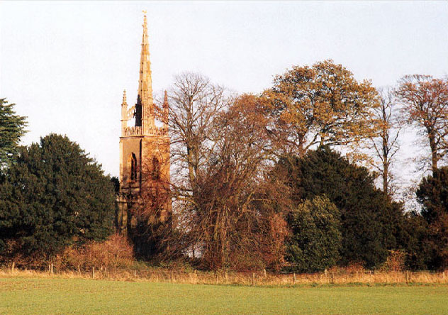
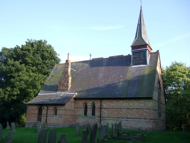
All Saints Church, Haugham
All Saints Church is a former Anglican church in the village of Haugham, Lincolnshire, England. It is recorded in the National Heritage List for England...

St Helen's Church, Little Cawthorpe
St Helen's Church is a redundant Anglican church in the village of Little Cawthorpe, Lincolnshire, England. It is recorded in the National Heritage List...

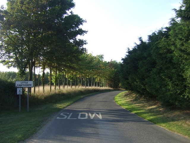
Little Cawthorpe
Little Cawthorpe is a village and civil parish in the East Lindsey district of Lincolnshire, England. It is situated about 1.5 miles (2.4 km) south-west...
Legbourne Priory
Legbourne Priory was a priory in the village of Legbourne, Lincolnshire, England. Founded by Robert Fitz Gilbert around 1150, the priory was for the nuns...

Louth and Horncastle (UK Parliament constituency)
Louth and Horncastle is a constituency in Lincolnshire represented in the House of Commons of the UK Parliament since 2015 by Victoria Atkins, a Conservative...
Tathwell
Tathwell is a village in the East Lindsey district of Lincolnshire, England. Tathwell is situated approximately 3 miles (5 km) south from the market town...
Nearby Amenities
Located within 500m of 53.320664,0.017119791Have you been to Haugham Pasture?
Leave your review of Haugham Pasture below (or comments, questions and feedback).