Bushycommon Wood

Wood, Forest in Sussex Lewes

England

Bushycommon Wood

The Cock Inn Dating from the around the end of the 18th century the inn was originally built on the edge of the village green which was used for fairs and as a meeting point, also known early on as the Fighting Cock highlighting one of the activities that went on there. Towards the end of the 20th century it became The Pear Tree but has now reverted back to its original name. The road is North Common Road that links Wivelsfield Green to the commons around North Chailey.
The Cock Inn Credit: Simon Carey

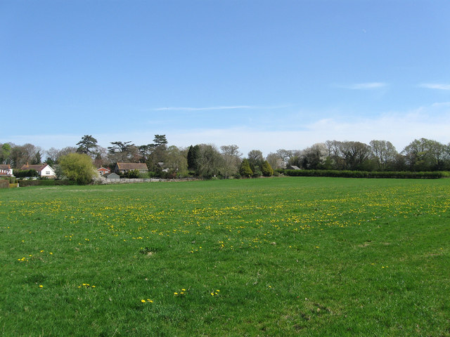
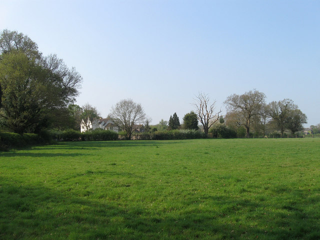
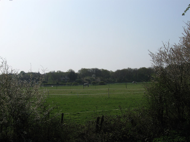
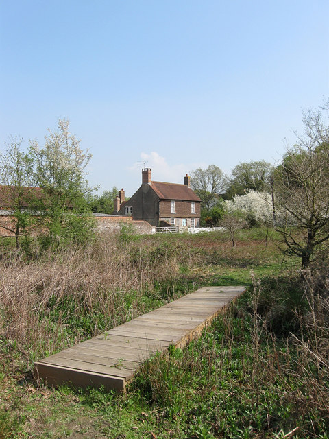
Bushycommon Wood is a picturesque woodland located in the county of Sussex, England. Spread across an area of approximately 150 acres, it is a charming forest that attracts nature enthusiasts and outdoor adventurers alike.

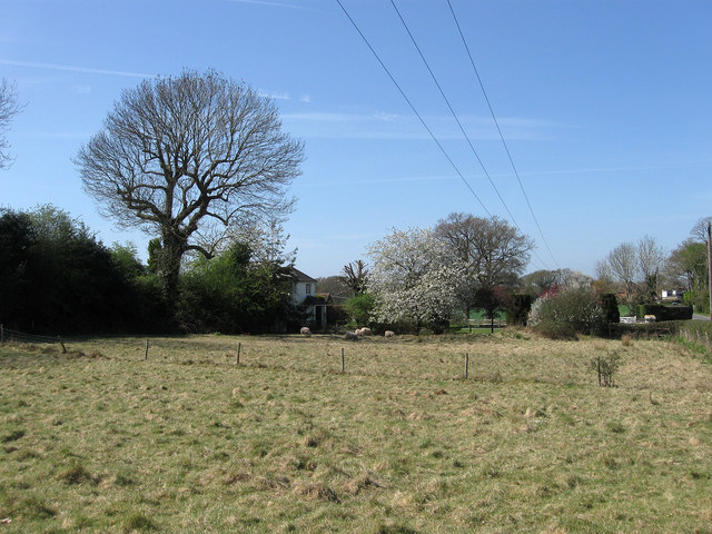
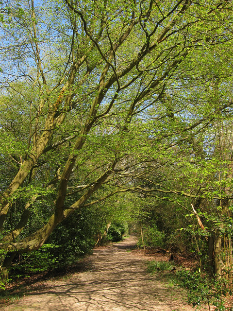
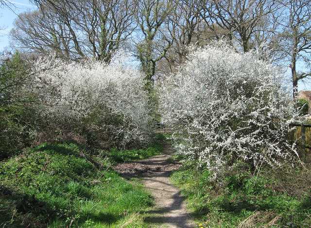
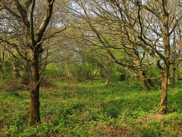
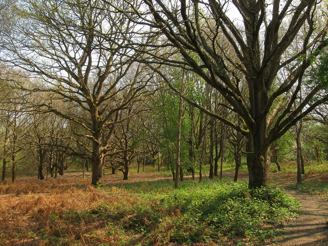
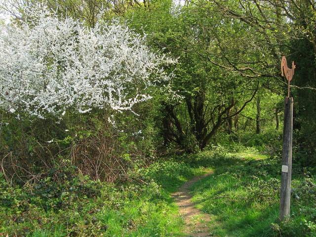
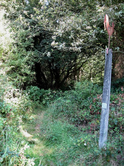
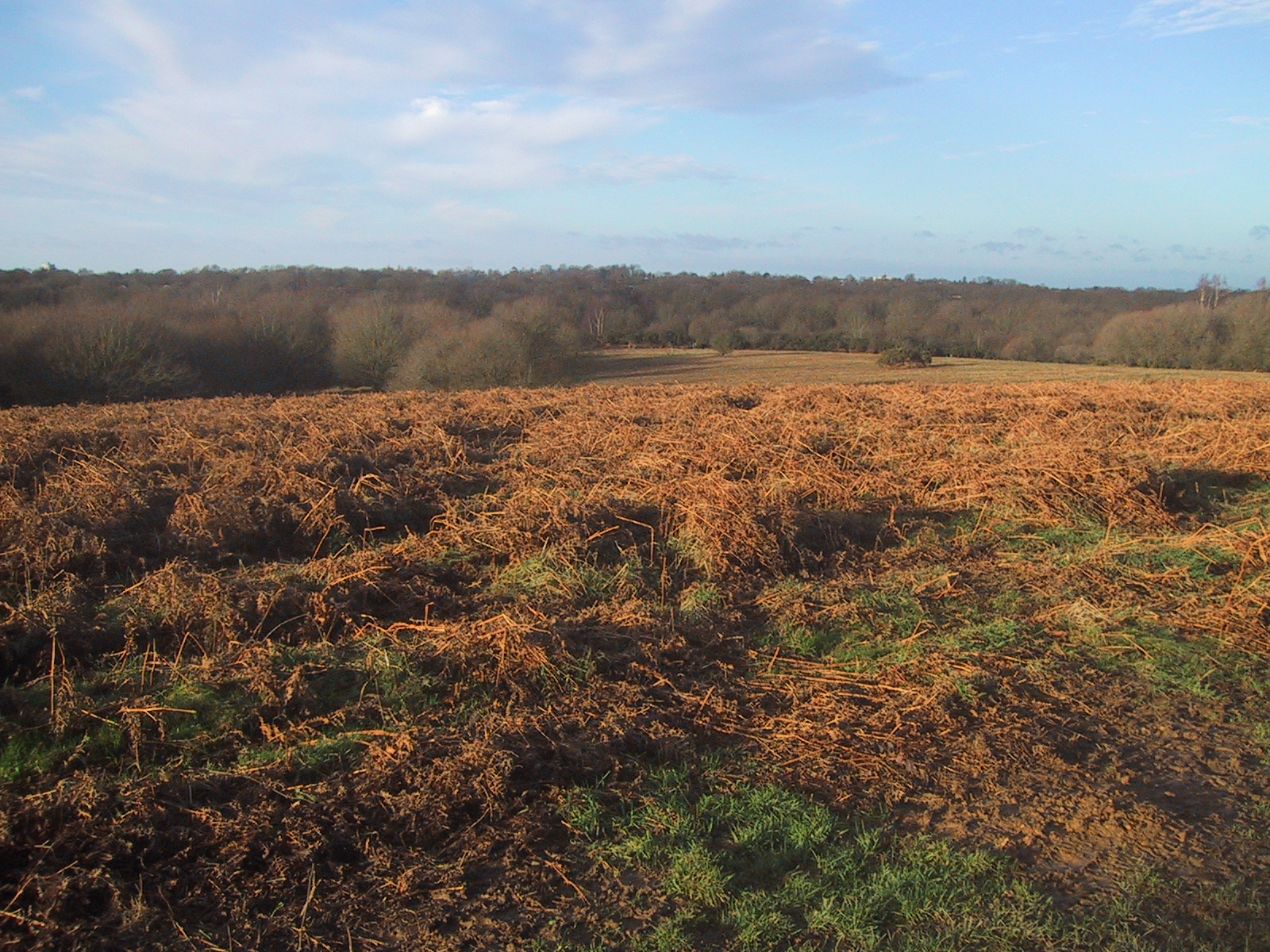
The woodland is predominantly composed of broadleaf trees, including oak, beech, and ash, which provide a rich canopy and create a serene and peaceful atmosphere. In spring, the forest floor comes alive with vibrant bluebells, enhancing the beauty of the wood. The diverse range of flora and fauna found in Bushycommon Wood makes it an important habitat for various species.

This woodland offers an array of recreational activities for visitors. A network of well-maintained footpaths and trails crisscrosses through the forest, allowing visitors to explore the natural wonders at their own pace. The wood is also a popular spot for birdwatching, with several species of woodland birds making it their home.

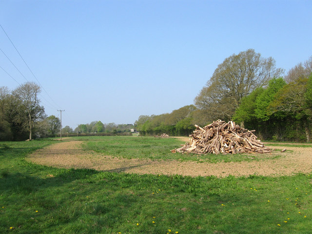
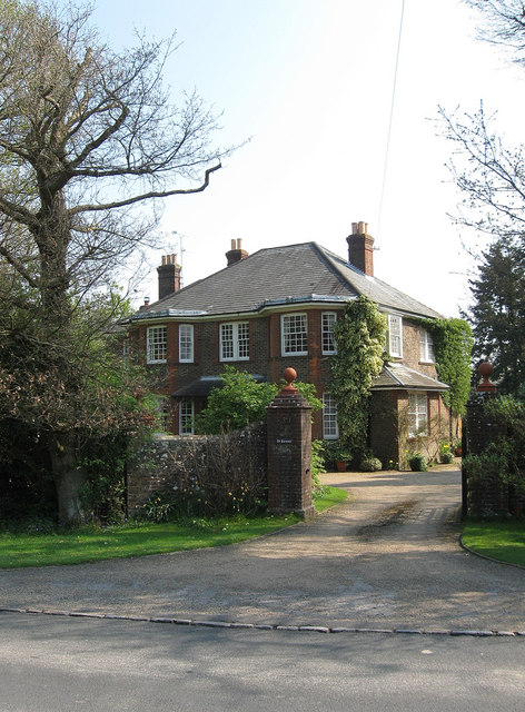
In addition to its natural beauty, Bushycommon Wood has a rich history. It is believed to have been a part of the ancient Ashdown Forest, which holds a significant place in English folklore. The wood has witnessed centuries of human activity, from ancient settlements to more recent forestry practices.

Overall, Bushycommon Wood is a delightful destination for nature lovers and those seeking tranquility amidst the beauty of the Sussex countryside. Its stunning landscapes, diverse wildlife, and historical significance make it a must-visit location for anyone exploring the region.

If you have any feedback on the listing, please let us know in the comments section below.

Bushycommon Wood Images

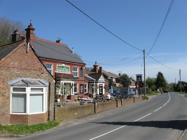
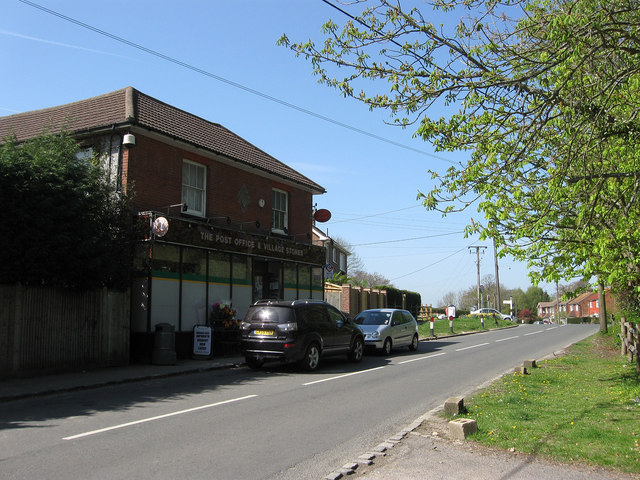
Images are sourced within 2km of 50.953641/-0.087176293 or Grid Reference TQ3418. Thanks to Geograph Open Source API. All images are credited.

The Cock Inn Dating from the around the end of the 18th century the inn was originally built on the edge of the village green which was used for fairs and as a meeting point, also known early on as the Fighting Cock highlighting one of the activities that went on there. Towards the end of the 20th century it became The Pear Tree but has now reverted back to its original name. The road is North Common Road that links Wivelsfield Green to the commons around North Chailey.
The Cock Inn
Dating from the around the end of the 18th century the inn was originally built on the edge of the village green which was used for fairs and as a meeting point, also known early on as the Fighting Cock highlighting one of the activities that went on there. Towards the end of the 20th century it became The Pear Tree but has now reverted back to its original name. The road is North Common Road that links Wivelsfield Green to the commons around North Chailey.
Wivelsfield Post Office and Village Stores The stores have been operational since at least the 1870s with the post office added during the following decade. Located on North Common Road near the junction with South Road an area that was once the village green.
Wivelsfield Post Office and Village Stores
The stores have been operational since at least the 1870s with the post office added during the following decade. Located on North Common Road near the junction with South Road an area that was once the village green.
Green Park Farm The field in the foreground is the last remnant of the village green which once occupied an area that originally stretched from the Royal Oak to this spot next to a junction of roads from Plumpton and Streat. Gradual encroachment meant by the beginning of the 19th century the green had been reduced to a small area lining Green Road and the junction mentioned above and by the 1843 tithe map had disappeared. The farm evolved during the 17th century from the enclosure of another common to the south called The Bishopryck and was originally known as Whitebreads. It changed its name to the current one after the Second World War.
Green Park Farm
The field in the foreground is the last remnant of the village green which once occupied an area that originally stretched from the Royal Oak to this spot next to a junction of roads from Plumpton and Streat. Gradual encroachment meant by the beginning of the 19th century the green had been reduced to a small area lining Green Road and the junction mentioned above and by the 1843 tithe map had disappeared. The farm evolved during the 17th century from the enclosure of another common to the south called The Bishopryck and was originally known as Whitebreads. It changed its name to the current one after the Second World War.
Green Lane Former lane now a bridleway linking Green Road to Hundred Acre Lane.
Green Lane
Former lane now a bridleway linking Green Road to Hundred Acre Lane.
Old Furze Field/Furze Field The name of the fields according to Wivelsfield's 1843 tithe map that have been joined together to form a larger unit. Old Furze Field is in the foreground whilst Furze Field is to the right part of which has been lost to a garden. The houses all face out onto Green Road. Taken from a permissive footpath that links Green Lane to Eastern Road.
Old Furze Field/Furze Field
The name of the fields according to Wivelsfield's 1843 tithe map that have been joined together to form a larger unit. Old Furze Field is in the foreground whilst Furze Field is to the right part of which has been lost to a garden. The houses all face out onto Green Road. Taken from a permissive footpath that links Green Lane to Eastern Road.
Hawthorns in Blossom Either side of the permissive footpath from Green Lane as it heads towards Eastern Road.
Hawthorns in Blossom
Either side of the permissive footpath from Green Lane as it heads towards Eastern Road.
Chapel Field The name of the field according to Wivelsfield's 1843 tithe map that lies next to <a href="https://www.geograph.org.uk/photo/1446432">TQ3319 : Bethel Chapel</a> from where it gets its name. The house in the distance is Bankside.
Chapel Field
The name of the field according to Wivelsfield's 1843 tithe map that lies next to TQ3319 : Bethel Chapel from where it gets its name. The house in the distance is Bankside.
New Field The name of the field according to Wivelsfield's 1843 tithe map that lies next to Great Otehall Wood from whence it was once cleared. It is bounded on the other side by the eastern branch of the River Adur which is near its source on Ditchling Common.
New Field
The name of the field according to Wivelsfield's 1843 tithe map that lies next to Great Otehall Wood from whence it was once cleared. It is bounded on the other side by the eastern branch of the River Adur which is near its source on Ditchling Common.
Lower Field/Upper Field The name of the fields according to Wivelsfield's 1843 tithe map as viewed from the footpath that follows the northern bank of the River Adur.
Lower Field/Upper Field
The name of the fields according to Wivelsfield's 1843 tithe map as viewed from the footpath that follows the northern bank of the River Adur.
Seven Acres/Four Acres The name of the fields according to Wivelsfield's 1843 tithe map that have been joined together to make a larger unit. Seven Acres was in the foreground, Four Acres near to Little Otehall Farm in the distance.
Seven Acres/Four Acres
The name of the fields according to Wivelsfield's 1843 tithe map that have been joined together to make a larger unit. Seven Acres was in the foreground, Four Acres near to Little Otehall Farm in the distance.
Ote Hall Farm Cottages Former farm labourers cottages on the drive to Great Ote Hall. They are marked on the 1875 OS map so probably originate sometime during the Victorian era.
Ote Hall Farm Cottages
Former farm labourers cottages on the drive to Great Ote Hall. They are marked on the 1875 OS map so probably originate sometime during the Victorian era.
Little Oat Hall The name of the field according to Wivelsfield's 1843 tithe map that lies to the immediate west of <a href="https://www.geograph.org.uk/photo/2365272">TQ3319 : Little Ote Hall</a> from which it gets its name. This is a remnant of the former field which once stretched westwards alongside Janes Lane but has lost that portion to development.
Little Oat Hall
The name of the field according to Wivelsfield's 1843 tithe map that lies to the immediate west of TQ3319 : Little Ote Hall from which it gets its name. This is a remnant of the former field which once stretched westwards alongside Janes Lane but has lost that portion to development.
Little Ote Hall Viewed from Janes Lane. The former farm dates from the medieval period though the current house was rebuilt in either the 18th or 19th century.
Little Ote Hall
Viewed from Janes Lane. The former farm dates from the medieval period though the current house was rebuilt in either the 18th or 19th century.
St Kevins Built between the wars next to Janes Lane on the boundary of Ditchling Common. There is a St Kevin an Irish monk whose feast day of 3 June became an excuse for much merrymaking and carousing until the Catholic church banned it in the 1890s.
St Kevins
Built between the wars next to Janes Lane on the boundary of Ditchling Common. There is a St Kevin an Irish monk whose feast day of 3 June became an excuse for much merrymaking and carousing until the Catholic church banned it in the 1890s.
Ditchling Common A wooded section of the common to the immediate south of Janes Lane.
Ditchling Common
A wooded section of the common to the immediate south of Janes Lane.
Ditchling Common A small wooded section that lies between the Ditchling-Wivelsfield parish boundary to the west, Janes Lane to the south and the B2112 to the east. The path on the right links Janes Lane to the Royal Oak public house.
Ditchling Common
A small wooded section that lies between the Ditchling-Wivelsfield parish boundary to the west, Janes Lane to the south and the B2112 to the east. The path on the right links Janes Lane to the Royal Oak public house.
Bankside Farm Another view of <a href="https://www.geograph.org.uk/photo/1456491">TQ3319 : Bankside Farm</a> but without the thick summer foliage. The house is a classic example of setting up a farm on the edge of a common to enable use of both private enclosed fields beyond and open common pasture in the foreground. The farm itself dates from the medieval period but the current farmhouse was rebuilt in the 18th century.
Bankside Farm
Another view of TQ3319 : Bankside Farm but without the thick summer foliage. The house is a classic example of setting up a farm on the edge of a common to enable use of both private enclosed fields beyond and open common pasture in the foreground. The farm itself dates from the medieval period but the current farmhouse was rebuilt in the 18th century.
Jacob's Post Marking the site of a former gibbet that contained the executed body of Jacob Harris who murdered the husband and wife who ran nearby <a href="https://www.geograph.org.uk/photo/1446441">TQ3319 : The Royal Oak</a>. See <a href="https://www.geograph.org.uk/photo/1456506">TQ3319 : Jacob's Post</a> for the full story.
Jacob's Post
Marking the site of a former gibbet that contained the executed body of Jacob Harris who murdered the husband and wife who ran nearby TQ3319 : The Royal Oak. See TQ3319 : Jacob's Post for the full story.
Show me another place!

Bushycommon Wood is located at Grid Ref: TQ3418 (Lat: 50.953641, Lng: -0.087176293)

Administrative County: East Sussex

District: Lewes

Police Authority: Sussex

What 3 Words

///postings.rabble.faces. Near Wivelsfield Green, East Sussex

Related Wikis

Jacob's Post

Jacob's Post is a post outside the old Royal Oak pub just inside the north of Ditchling Common to the east of Burgess Hill, in Lewes district, East Sussex...

Ditchling Common

Ditchling Common is a 66.5-hectare (164-acre) biological Site of Special Scientific Interest south-west of Wivelsfield in East Sussex. It is a country...

Bethel Strict Baptist Chapel, Wivelsfield

Bethel Baptist Chapel is a Strict Baptist place of worship in the village of Wivelsfield in East Sussex, England. The cause was founded in 1763 by members...

Wivelsfield

Wivelsfield () village and the larger adjacent village of Wivelsfield Green are the core of the civil parish of Wivelsfield in the Lewes District of East...

Nearby Amenities

Located within 500m of 50.953641,-0.087176293
Barrier: kissing_gate
Lat/Long: 50.9550654/-0.0928471
Barrier: stile
Lat/Long: 50.9504603/-0.0893715
The data included in this document is from www.openstreetmap.org. The data is made available under ODbL.

Have you been to Bushycommon Wood?

Leave your review of Bushycommon Wood below (or comments, questions and feedback).