Balls Wood
Wood, Forest in Hertfordshire East Hertfordshire
England
Balls Wood
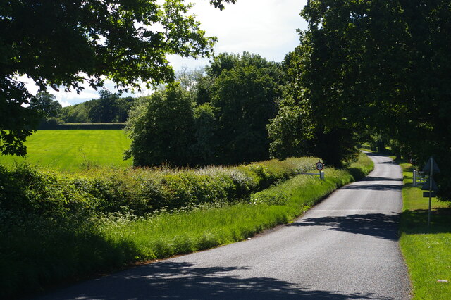
Balls Wood is a charming woodland located in the county of Hertfordshire, England. Covering an area of approximately 150 acres, it is a popular destination for nature enthusiasts and those seeking a peaceful retreat from the bustling city life.
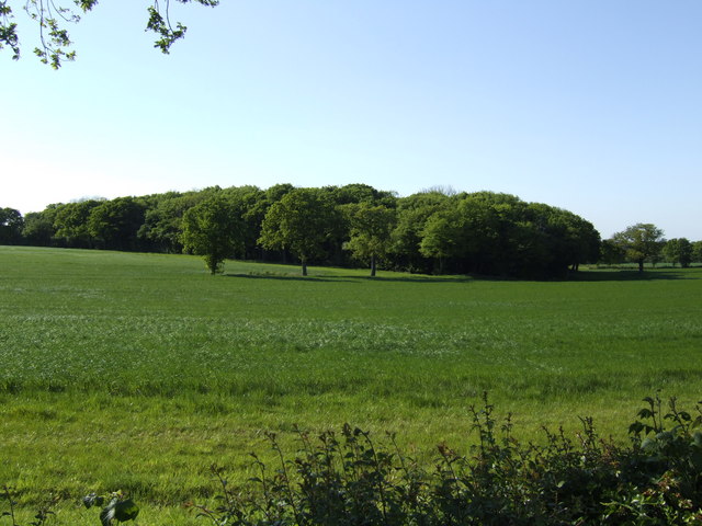
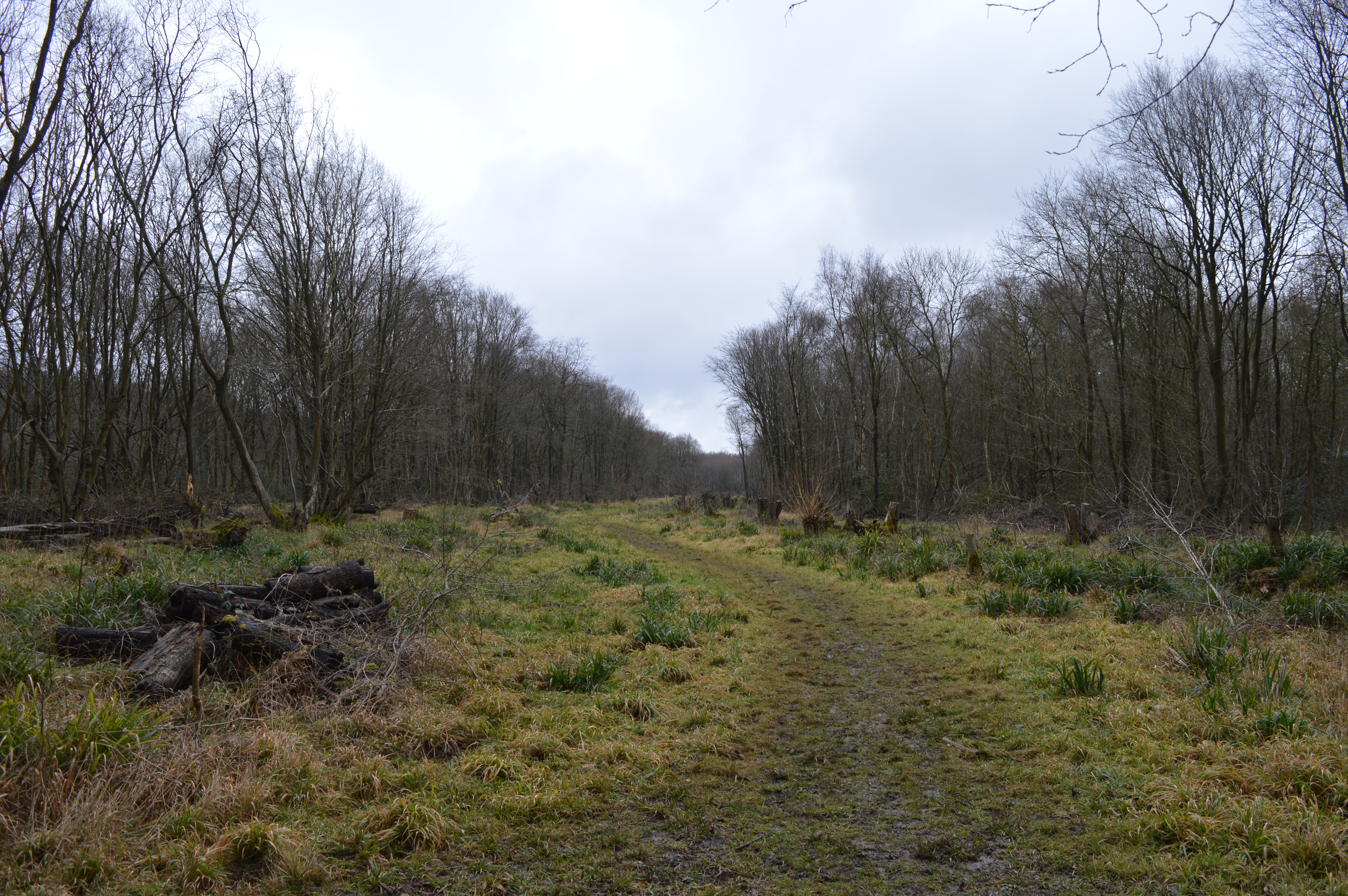
The wood is predominantly made up of deciduous trees, including oak, birch, and beech, which create a vibrant and colorful canopy during the autumn months. The forest floor is adorned with an array of wildflowers, adding to the natural beauty of the surroundings.
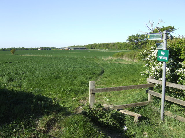
Tranquil walking trails meander through Balls Wood, offering visitors the opportunity to explore its diverse flora and fauna. The wood is home to a variety of wildlife, including deer, foxes, badgers, and a plethora of bird species. Nature enthusiasts often bring their binoculars to catch a glimpse of the many species that call the wood their home.
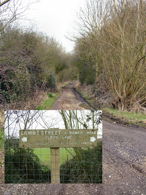
Balls Wood also boasts a rich history, with archaeological evidence suggesting human presence dating back to the Bronze Age. The wood has been managed and preserved for centuries, ensuring its natural beauty and historical importance are maintained.
Visitors to Balls Wood can enjoy a picnic in one of the designated areas or simply relax and soak in the peaceful atmosphere. The wood is easily accessible, with ample parking available nearby.
Overall, Balls Wood is a hidden gem in Hertfordshire, offering a tranquil escape into nature and a chance to immerse oneself in the beauty of the woodland environment.
If you have any feedback on the listing, please let us know in the comments section below.
Balls Wood Images
Images are sourced within 2km of 51.777064/-0.052669724 or Grid Reference TL3410. Thanks to Geograph Open Source API. All images are credited.


Balls Wood is located at Grid Ref: TL3410 (Lat: 51.777064, Lng: -0.052669724)
Administrative County: Hertfordshire
District: East Hertfordshire
Police Authority: Hertfordshire
What 3 Words
///count.purple.offer. Near Little Amwell, Hertfordshire
Nearby Locations
Related Wikis
Balls Wood
Balls Wood is a 58.5-hectare (145-acre) nature reserve managed by the Herts and Middlesex Wildlife Trust in Hertford Heath in East Hertfordshire. The wood...
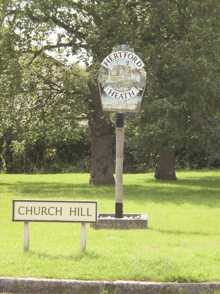
Hertford Heath
Hertford Heath is a village and civil parish near the county town of Hertford in Hertfordshire, England. The population at the 2011 Census was 2,672....

Hertford Heath nature reserve
Hertford Heath nature reserve is a 28 hectare biological Site of Special Scientific Interest in Hertford Heath in Hertfordshire. It is managed by the Herts...

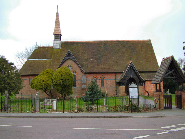
Little Amwell
Little Amwell was a village and civil parish in Hertfordshire, England, lying 1.6 miles (2.6 km) south-east of the county town of Hertford. The old village...

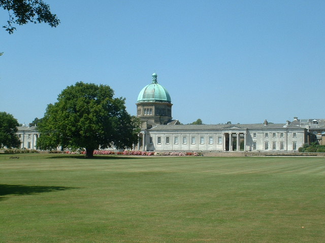
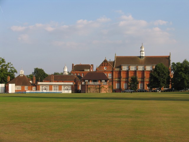
Haileybury and Imperial Service College
Haileybury and Imperial Service College is an English co-educational independent boarding and day school for 11- to 18-year-olds near Hertford in England...

Woollensbrook
Woollensbrook is a hamlet in Hertfordshire, England. It is in the town of Hoddesdon.

Foxholes, Hertford
Foxholes is an eastern suburb of Hertford, Hertfordshire, England. It is situated to the north of the older Foxholes Farm, which over the years has served...

Balls Park
Balls Park in Hertford is a Grade I Listed mid-17th-century house. The estate and house are set in over 63 acres of parkland which is listed Grade II on...
Nearby Amenities
Located within 500m of 51.777064,-0.052669724Have you been to Balls Wood?
Leave your review of Balls Wood below (or comments, questions and feedback).