Hanging Plantation
Wood, Forest in Hertfordshire Broxbourne
England
Hanging Plantation
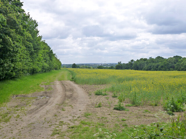
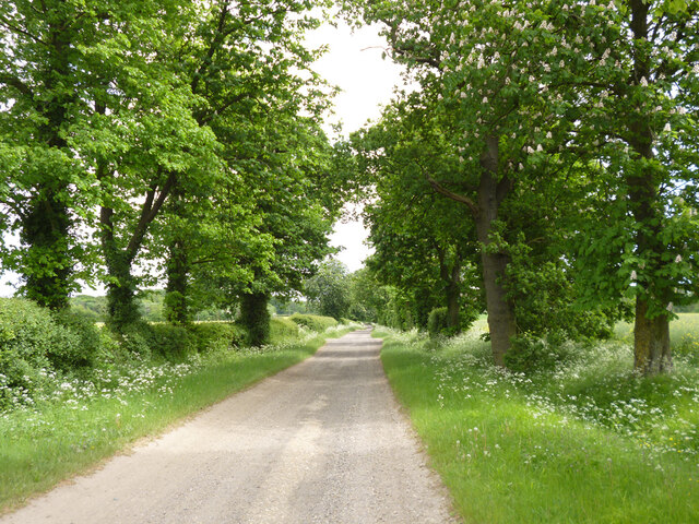
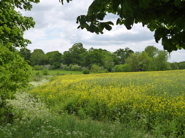
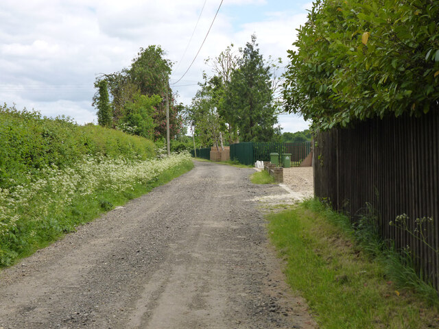
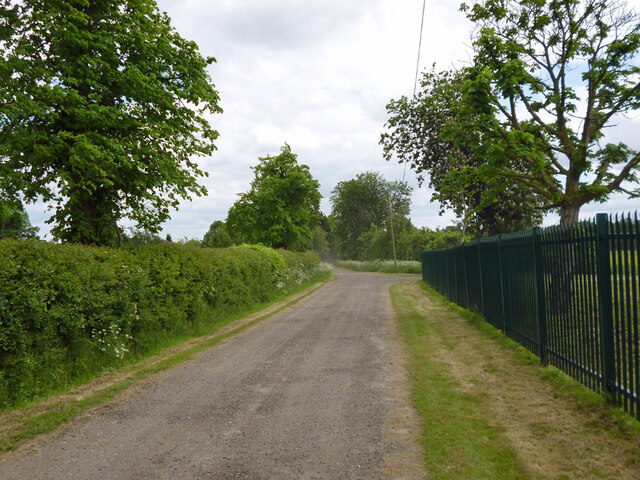
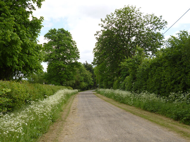
Hanging Plantation, located in Hertfordshire, England, is a captivating woodland area known for its lush vegetation and serene atmosphere. Spanning across several acres, this enchanting forest is a popular destination for nature enthusiasts, hikers, and wildlife admirers.
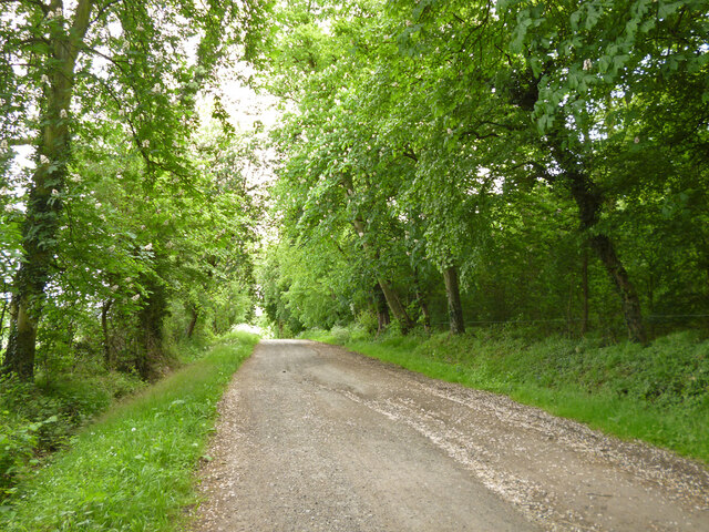
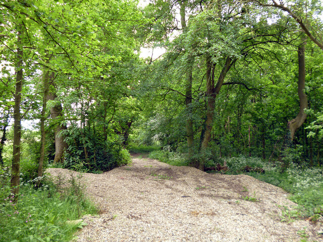
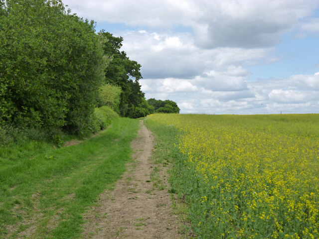
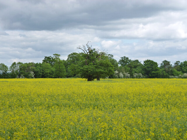
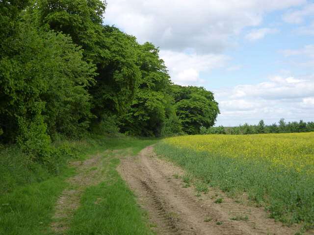
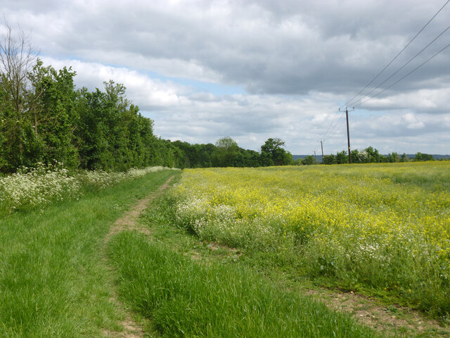
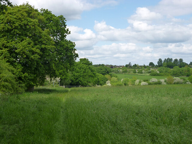
The plantation is predominantly characterized by its dense canopy of tall trees, which create a mesmerizing green oasis. Oak, beech, and birch trees dominate the landscape, lending a sense of grandeur to the surroundings. These towering trees provide ample shade and create a tranquil ambiance, making Hanging Plantation an ideal place for relaxation and escapism.
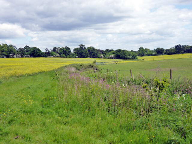
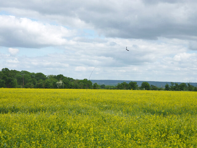
The forest floor is carpeted with a diverse array of plant species, including bluebells, ferns, and wildflowers, adding a splash of color to the verdant scenery. This rich undergrowth supports a thriving ecosystem, with numerous small mammals, birds, and insects finding refuge in this natural habitat.
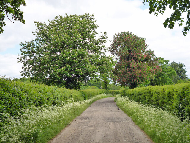
Visitors can explore Hanging Plantation through a network of well-maintained walking trails, allowing them to immerse themselves in the serenity of the woodland. The trails wind their way through the forest, offering glimpses of picturesque clearings and babbling brooks along the way. The plantation also provides picnic areas and benches, inviting visitors to take a break and soak in the peaceful surroundings.
Hanging Plantation is a true haven for nature lovers and offers a welcome respite from the hustle and bustle of everyday life. Its natural beauty, diverse flora, and abundant wildlife make it a must-visit destination for anyone seeking solace in the heart of Hertfordshire's countryside.
If you have any feedback on the listing, please let us know in the comments section below.
Hanging Plantation Images
Images are sourced within 2km of 51.691795/-0.066040427 or Grid Reference TL3300. Thanks to Geograph Open Source API. All images are credited.
Hanging Plantation is located at Grid Ref: TL3300 (Lat: 51.691795, Lng: -0.066040427)
Administrative County: Hertfordshire
District: Broxbourne
Police Authority: Hertfordshire
What 3 Words
///freed.method.guess. Near Waltham Cross, Hertfordshire
Nearby Locations
Related Wikis

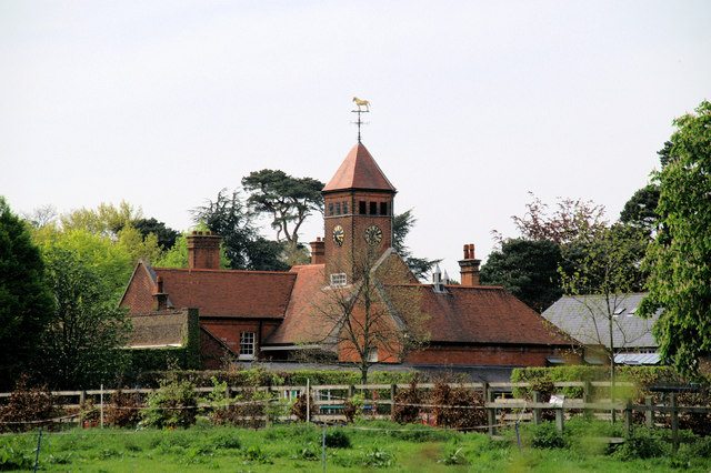
Theobalds House
Theobalds House (also known as Theobalds Palace) in the parish of Cheshunt in the English county of Hertfordshire, north of London, was a significant stately...

Theobalds Brook
Theobalds Brook is a minor tributary of the River Lea which rises in the hills south of Goffs Oak in Hertfordshire, England.
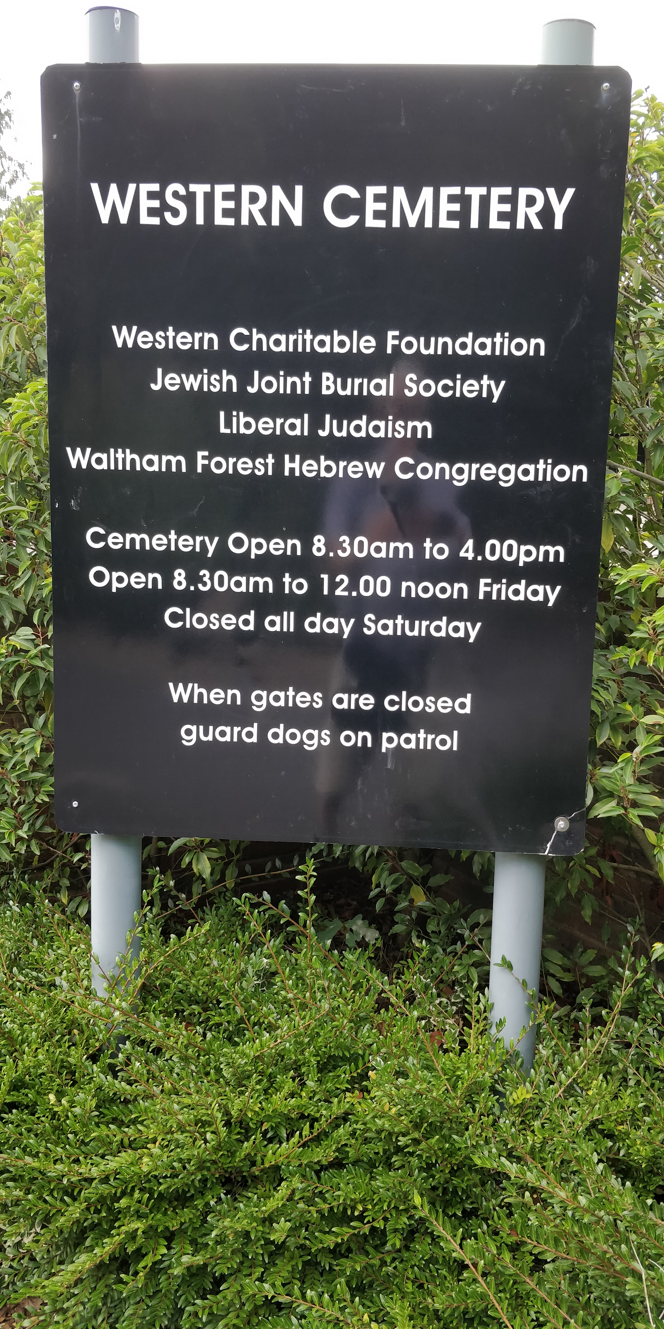
Western Cemetery (Cheshunt)
Western Cemetery is a Jewish cemetery at Bulls Cross Ride in Cheshunt in the Borough of Broxbourne, Hertfordshire EN7 5HT, England. It was established...
St Mary's Church of England High School
St Mary's Church of England High School is a mixed secondary school and sixth form located in Cheshunt, Hertfordshire, England. It is a Church of England...
Capel Manor College
Capel Manor College is a special environmental college located in Enfield, London. The College has five campuses across the capital, Crystal Palace Park...

Bulls Cross
Bulls Cross is a road and hamlet in Enfield, England, on the outskirts of north London, forming part of the Metropolitan Green Belt. Although it now lies...
F.C. Broxbourne Borough
Football Club Broxbourne Borough was a football club based in Broxbourne, Hertfordshire, England. They played at Goffs Lane in Cheshunt. == History... ==

Cedars Park, Cheshunt
Cedars Park is a historic public park located in Cheshunt, Hertfordshire, England. It was originally the site of Theobalds Palace, King James I's favourite...
Nearby Amenities
Located within 500m of 51.691795,-0.066040427Have you been to Hanging Plantation?
Leave your review of Hanging Plantation below (or comments, questions and feedback).