South Osiers
Wood, Forest in Hertfordshire Broxbourne
England
South Osiers
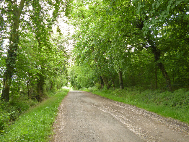
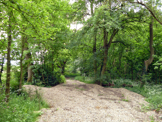
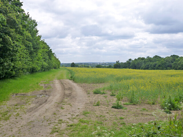
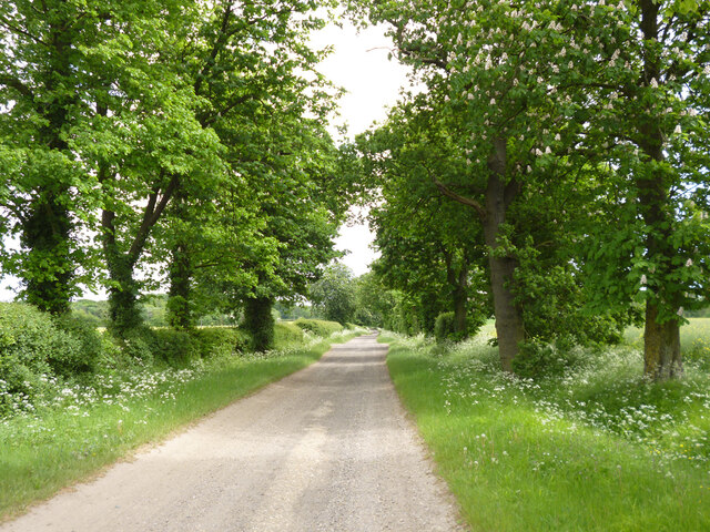
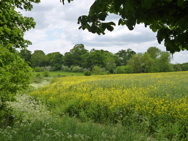
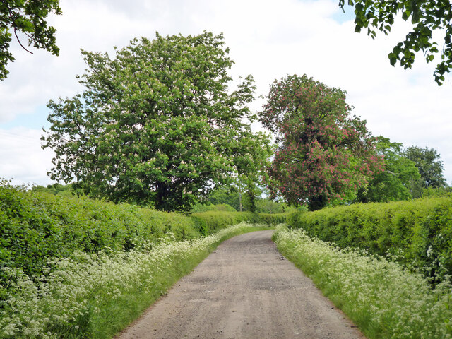
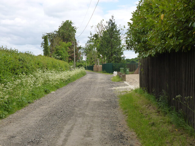
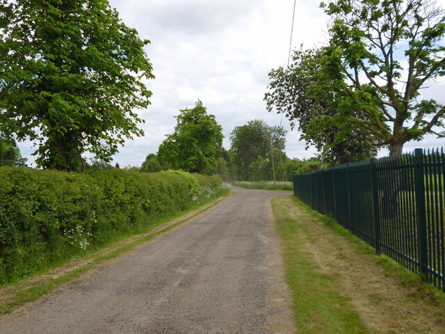
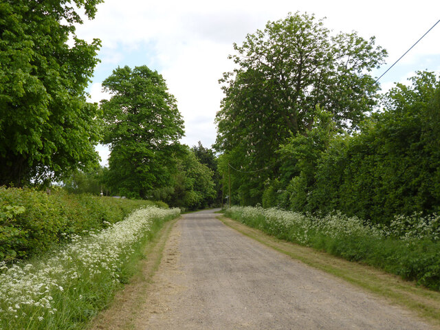
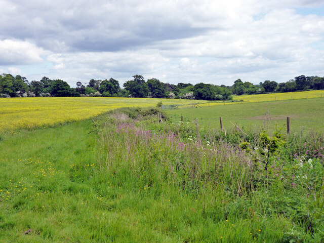
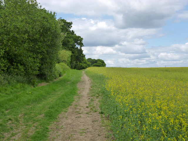
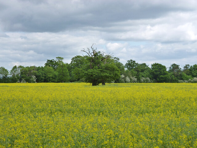
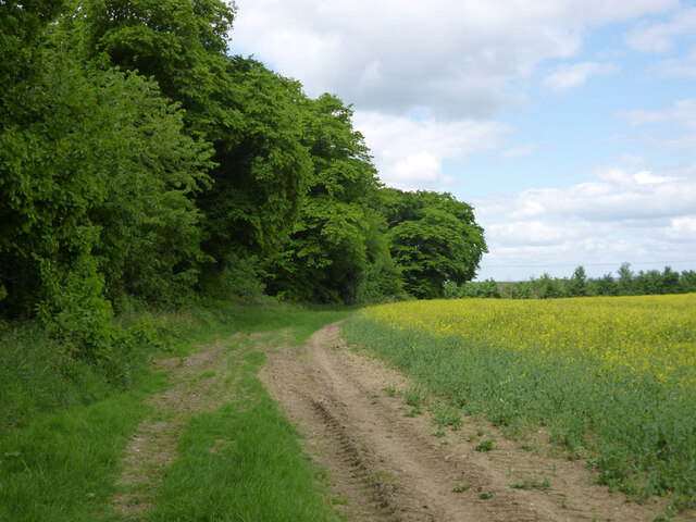
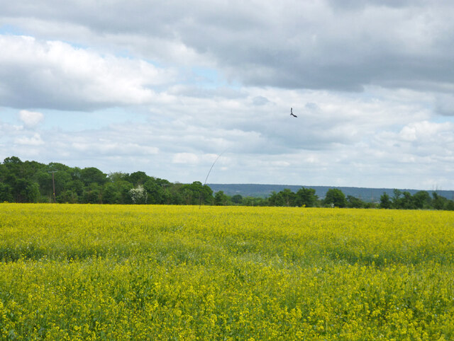
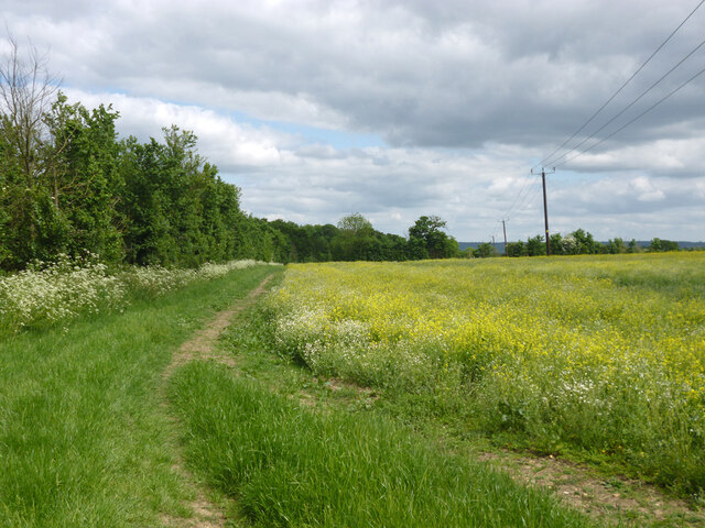
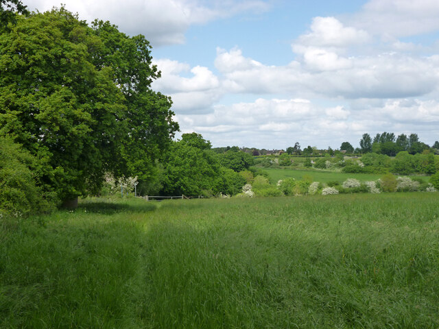
South Osiers is a small village located in the county of Hertfordshire, England. Situated in the southern part of the county, it is known for its beautiful woodlands and forested areas, earning it the nickname "Wood" or "Forest." The village is nestled amidst picturesque countryside, with rolling hills and meandering streams, creating a serene and peaceful atmosphere.
South Osiers is home to a close-knit community, with a population of around 500 residents. The village is dotted with traditional cottages and houses, giving it a charming and rustic feel. The residents take great pride in their surroundings and work together to maintain the natural beauty of the area.
The woodlands surrounding South Osiers are a significant feature of the village, attracting nature enthusiasts and hikers from far and wide. The forested areas are teeming with diverse wildlife, including various bird species, deer, and foxes. The village has several well-maintained walking trails, allowing visitors to explore the enchanting woods and discover hidden gems.
In terms of amenities, South Osiers has a small village hall that serves as a community hub. The hall hosts various events and gatherings throughout the year, fostering a sense of community spirit among the residents. However, for more extensive services and facilities, residents often rely on nearby towns and villages.
Overall, South Osiers, Hertfordshire is a charming village known for its woodlands and forested areas. With its natural beauty and close-knit community, it offers a tranquil retreat for those seeking a peaceful countryside experience.
If you have any feedback on the listing, please let us know in the comments section below.
South Osiers Images
Images are sourced within 2km of 51.687337/-0.071120409 or Grid Reference TL3300. Thanks to Geograph Open Source API. All images are credited.


South Osiers is located at Grid Ref: TL3300 (Lat: 51.687337, Lng: -0.071120409)
Administrative County: Hertfordshire
District: Broxbourne
Police Authority: Hertfordshire
What 3 Words
///taker.folds.chat. Near Waltham Cross, Hertfordshire
Nearby Locations
Related Wikis
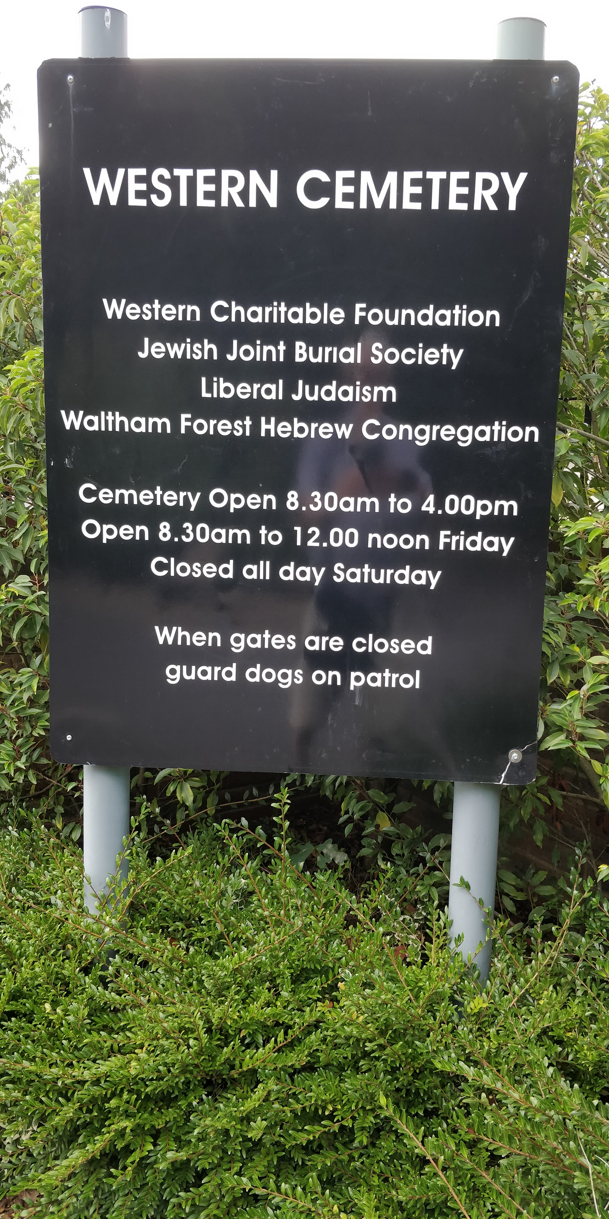
Western Cemetery (Cheshunt)
Western Cemetery is a Jewish cemetery at Bulls Cross Ride in Cheshunt in the Borough of Broxbourne, Hertfordshire EN7 5HT, England. It was established...

Theobalds House
Theobalds House (also known as Theobalds Palace) in the parish of Cheshunt in the English county of Hertfordshire, north of London, was a significant stately...
Capel Manor College
Capel Manor College is a special environmental college located in Enfield, London. The College has five campuses across the capital, Crystal Palace Park...

Theobalds Brook
Theobalds Brook is a minor tributary of the River Lea which rises in the hills south of Goffs Oak in Hertfordshire, England.

Bulls Cross
Bulls Cross is a road and hamlet in Enfield, England, on the outskirts of north London, forming part of the Metropolitan Green Belt. Although it now lies...
St Mary's Church of England High School
St Mary's Church of England High School is a mixed secondary school and sixth form located in Cheshunt, Hertfordshire, England. It is a Church of England...

Cuffley Brook
Cuffley Brook is a tributary of Turkey Brook. It runs through parts of Hertfordshire and the London Borough of Enfield, England. After the confluence of...
Elsyng Palace
Elsyng Palace (variously also Elsynge, Elsing, Elsings) was a Tudor palace on the site of what are now the grounds of Forty Hall in Enfield, north London...
Nearby Amenities
Located within 500m of 51.687337,-0.071120409Have you been to South Osiers?
Leave your review of South Osiers below (or comments, questions and feedback).